Lake Michigan Kayaking: Where to Paddle and When to Stay Ashore
Lake Michigan can look like a friendly inland lake from the beach and behave like open sea after launch. Beginners should start in a protected bay, harbor, river, or inland lake with a reputable guide, while exposed shoreline, cliff, and island routes belong to paddlers trained for capsize recovery in cold, moving water.
The quick answer by paddler
- First timer: Take a lesson on sheltered water and keep the open lake for another day.
- Vacation paddler: Book a local guide who supplies a suitable boat, immersion gear, and a conditions-based route.
- Intermediate sea kayaker: Choose a sandy shoreline with frequent landing options and a conservative turnaround point.
- Experienced coastal paddler: Consider exposed bluffs or caves only with rescue skills, correct equipment, communications, and a clean forecast.
- Family with children: Prefer a calm inland lake, slow river, or protected harbor away from powerboat channels.
There is no single “best” Lake Michigan kayak route because wind direction changes which shore is exposed. A route that feels calm at 8 a.m. can become an exhausting return into building wind and short, steep waves by lunch.
Lake Michigan is not recreational-kayak water by default
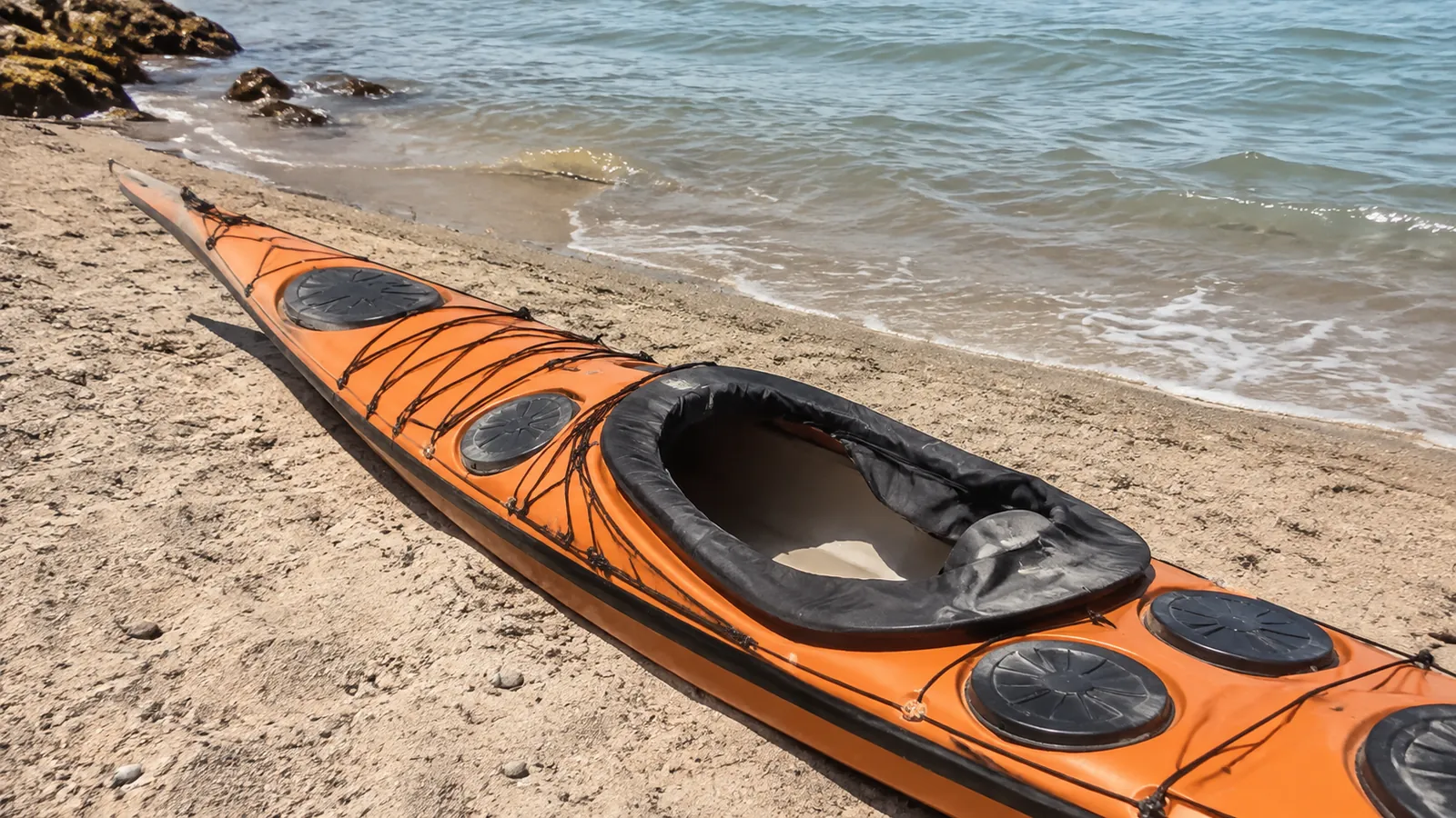
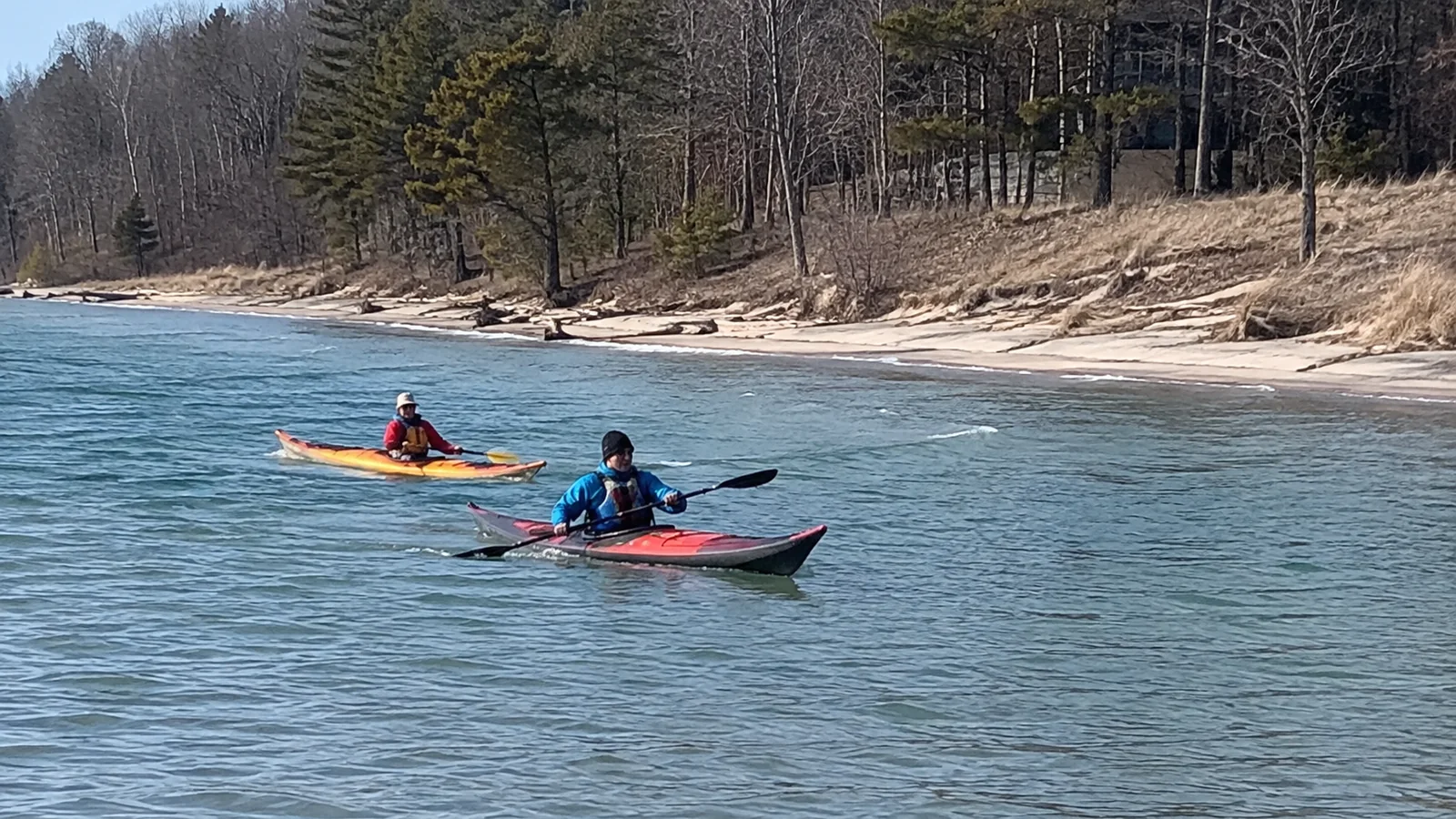
A short open-cockpit kayak is useful on quiet ponds, but it can flood and become difficult to empty on the lake. Sleeping Bear Dunes recommends sea kayaks with spray skirts, front and rear flotation bulkheads, and lengths generally between 16 and 19 feet for its Lake Michigan shoreline.
The park’s current paddling guidance also recommends staying within 400 feet of shore and identifies bluff sections where a safe landing may disappear in certain winds. That is practical advice far beyond the national lakeshore.
If you cannot reenter your loaded kayak from deep water, choose a guided outing or protected alternative. Staying near a beach reduces exposure, but it does not replace a practiced wet exit, assisted rescue, self-rescue, and tow system.
Good Lake Michigan paddling areas by experience
Three specific routes to discuss with a guide
These September 2026 planning examples deliberately separate sheltered instruction from open-lake paddling. Distances and times are approximate, and a guide should shorten or cancel the outing when wind, current, traffic, or the least experienced paddler calls for it.
- Route and launch: Lower Platte River: El Dorado Park to Platte River Point takeout
- Distance and time: About 1 mile one way; allow 30 to 60 minutes plus shuttle setup
- Turnaround, landings, and limits: Take out on the river before Lake Michigan; this is a sheltered river introduction, not permission to enter the lake mouth.
- Route and launch: Chicago: Ping Tom Boathouse to the 18th Street bridge area and back
- Distance and time: Keep an introductory session within about 1 mile total; 45 to 60 minutes with instruction
- Turnaround, landings, and limits: Return to the same public dock; the guide controls bridge approaches and commercial-vessel clearance, with no planned lake or lock passage.
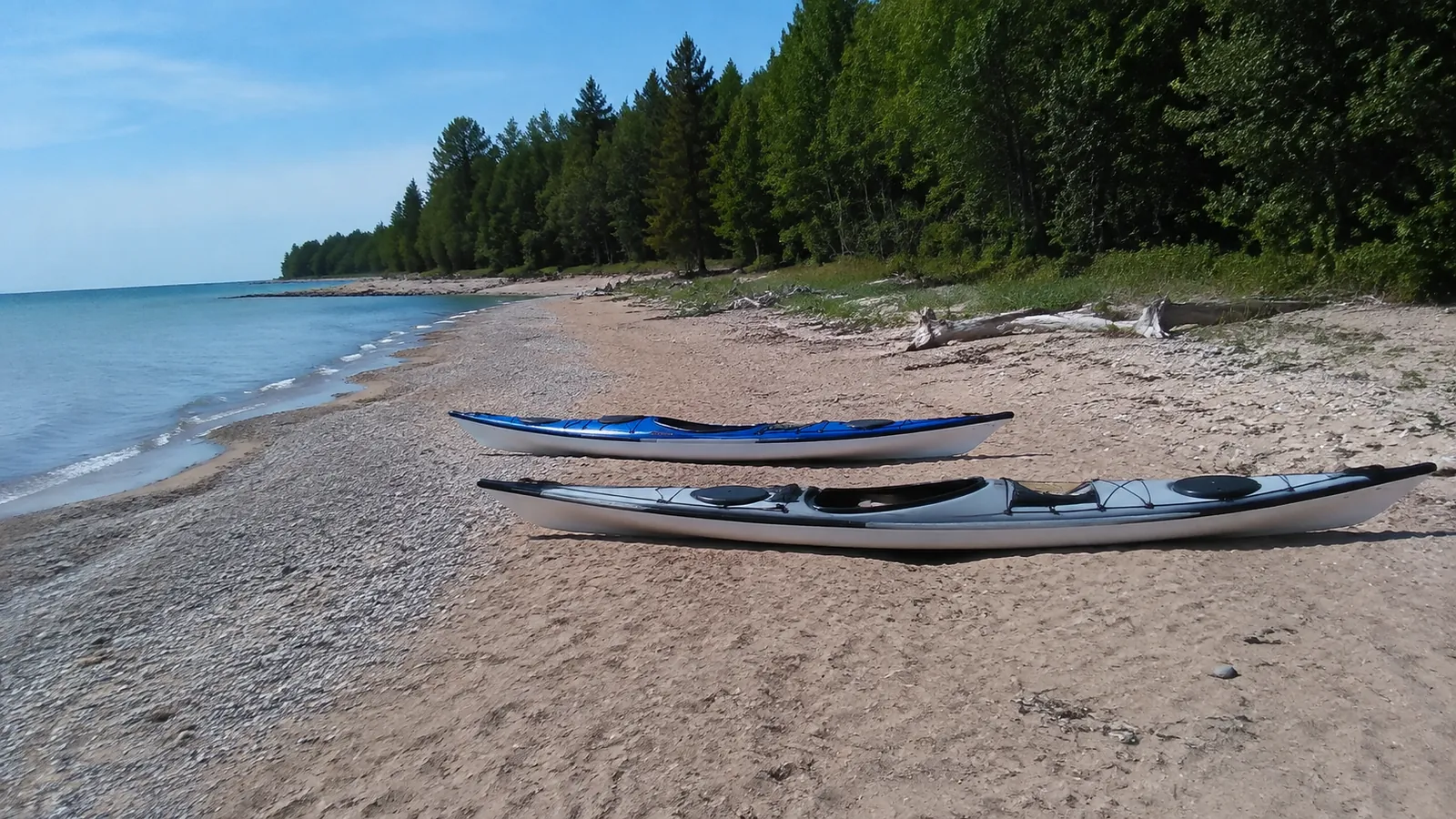
- Route and launch: Sleeping Bear coast: Platte River Point beach, east along the open shoreline, then back
- Distance and time: Illustrative 2-mile out-and-back; 1 to 2 hours for experienced sea kayakers
- Turnaround, landings, and limits: Turn at 1 mile or sooner; open sand can provide landing possibilities only when surf permits, and the river mouth is a separate current hazard.
The NPS identifies El Dorado’s launch and one-mile river approach and the Platte River Point takeouts. Arrange your vehicle shuttle before launching, since an easy downstream paddle is not necessarily an easy paddle back upstream.
Ping Tom Boathouse has a public river dock and seasonal guided rentals, reached through the park at 300 West 19th Street. I would choose its guided short river session for a first city paddle and save the exposed Sleeping Bear coast for a properly equipped group with practiced rescues.
Sleeping Bear Dunes: sandy shore with serious exceptions
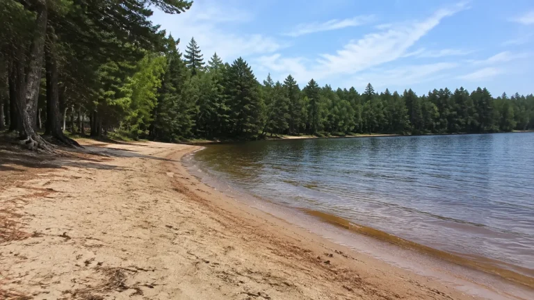
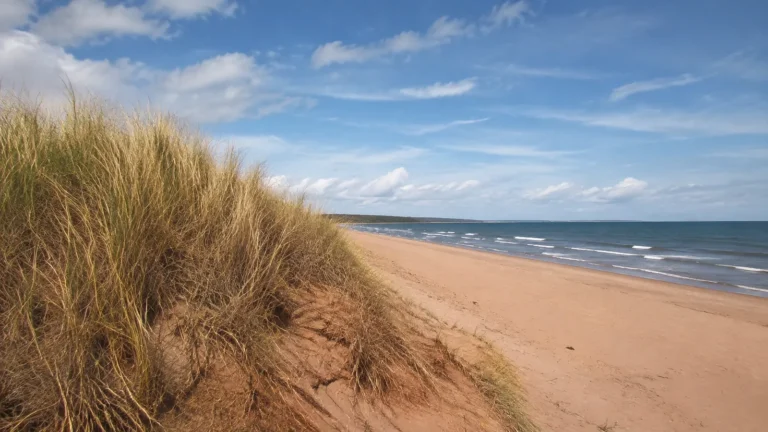
Sleeping Bear offers long sand beaches and remarkable dune views, making it one of the most appealing shore-following areas for trained sea kayakers. It also has tall bluffs, fog, cold water, sudden wind, and stretches where landing is unsafe when waves hit from the wrong direction.
For a conservative outing, select a short out-and-back beside a broad beach and turn around early. Do not cut across Sleeping Bear Bay or Good Harbor Bay simply because the straight line is shorter, since the shortcut moves you farther from a landing.
Beginners can use the lower Platte River, Crystal River, Loon Lake, or another inland-water option when the big lake is restless. That pivot still gives you a real paddle instead of gambling on a forecast that is already deteriorating.
Grand Traverse Bay: a guide-friendly starting region
Grand Traverse Bay offers more protected choices than a straight, west-facing beach, particularly when an operator can match the launch to wind direction. It remains a large arm of Lake Michigan with boat traffic, cold water, and long fetch, not a guaranteed calm lagoon.
A beginner should book a nearshore lesson or tour rather than rent a sit-on-top and set a distant point as the goal. Ask whether the route crosses a navigation lane, where the alternate takeout is, and which wind direction cancels the trip.
Door County: bays for learners, caves for skilled paddlers
Door County has Green Bay shore, Lake Michigan shore, harbors, and exposed headlands within a narrow peninsula. That variety lets a competent local guide move a trip to the safer side, but it does not make every cave tour suitable for beginners.
Nicolet Bay at Peninsula State Park can support a sheltered lesson when local conditions are mild. Cave Point and the open Lake Michigan cliffs require stronger boat control because rebound, rock, limited exits, falling material, and traffic can turn a pretty shoreline into a technical zone.
Never assume that booking language such as “all levels” means conditions are harmless. Ask about guide certification, guide-to-guest ratio, tandem versus single kayaks, immersion clothing, cancellation criteria, and what happens if the group cannot enter a cave.
The Door County lighthouse route is an easy land-based substitute when wind cancels the water plan. A cancellation should feel like good risk management, not a lost vacation day.
Milwaukee: protected water with urban traffic
Milwaukee’s harbor and river system can provide city paddling without committing to miles of exposed beach. The tradeoff is commercial and recreational traffic, seawalls, limited takeouts, water-quality concerns after storms, and rules that vary by launch and event.
Use a recognized public launch or licensed outfitter, stay out of marked restricted areas, and yield generous room to larger vessels. A paddler who wants skyline photographs should still keep both hands available for boat control and avoid drifting in a channel.
Chicago: guided harbor or river before open shoreline
Chicago gives experienced urban paddlers dramatic skyline views, but the open lake adds cold water, reflected waves, breakwalls, and heavy boat traffic. A guided river or protected-harbor outing is the better first city paddle.
Launch only from an authorized access point and check current Chicago Park District or harbor rules, including hours and local restrictions. Do not paddle toward the offshore Chicago Harbor Lighthouse simply because it looks close from Navy Pier.
Ellie’s Lake Michigan lighthouse plan identifies which lights work from public land. It is safer to photograph a breakwater light from shore than use it as an unresearched kayak destination.
Indiana Dunes and southwest Michigan: open beach, not beginner shelter
Indiana Dunes, New Buffalo, Warren Dunes, and nearby southwest Michigan beaches provide frequent road access but face open water. Shore break, rip currents, alongshore current, crowded swimming zones, and few protected route features make them poor places for a first independent rental.
Experienced paddlers can choose a short parallel-to-shore session outside swimming areas when the marine forecast, beach flags, and lifeguard guidance agree. Beginners should move to an inland lake, lower river, or guided harbor rather than launch through breaking surf.
Check three layers of weather
Start with the correct nearshore marine zone, not a city weather app. The National Weather Service Lake Michigan zone forecast separates shoreline segments because wind and waves can differ greatly around the lake.
Then check real-time buoy or shore observations and radar, followed by a visual check at the launch. If the water contradicts your plan, believe the water and switch routes.
- Wind direction: An offshore breeze may flatten the beach while pushing a tired paddler away from land.
- Wave period and direction: Two feet of short, steep chop can demand more control than the number suggests.
- Thunderstorms: Distant cells can produce gust fronts before rain arrives.
- Fog and smoke: Reduced visibility makes a low kayak harder for boaters to see and can erase landmarks.
- Water temperature: Dress for immersion even when the beach air feels hot.
Set personal limits before arriving and make them more conservative than an outfitter’s maximum if your skills are rusty. “No advisory” does not mean every route is safe for every paddler.
Dress for the water, not the parking lot
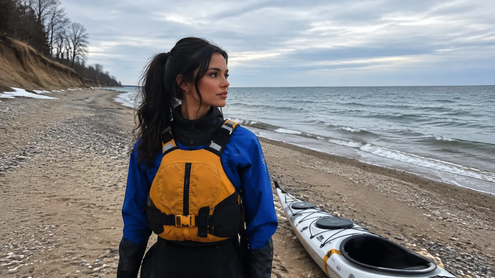
Cold shock can trigger gasping, rapid breathing, blood-pressure changes, panic, and loss of useful movement before classic hypothermia develops. NOAA’s cold-water safety guidance notes that serious cold-shock effects can occur even in water between 50°F and 60°F.
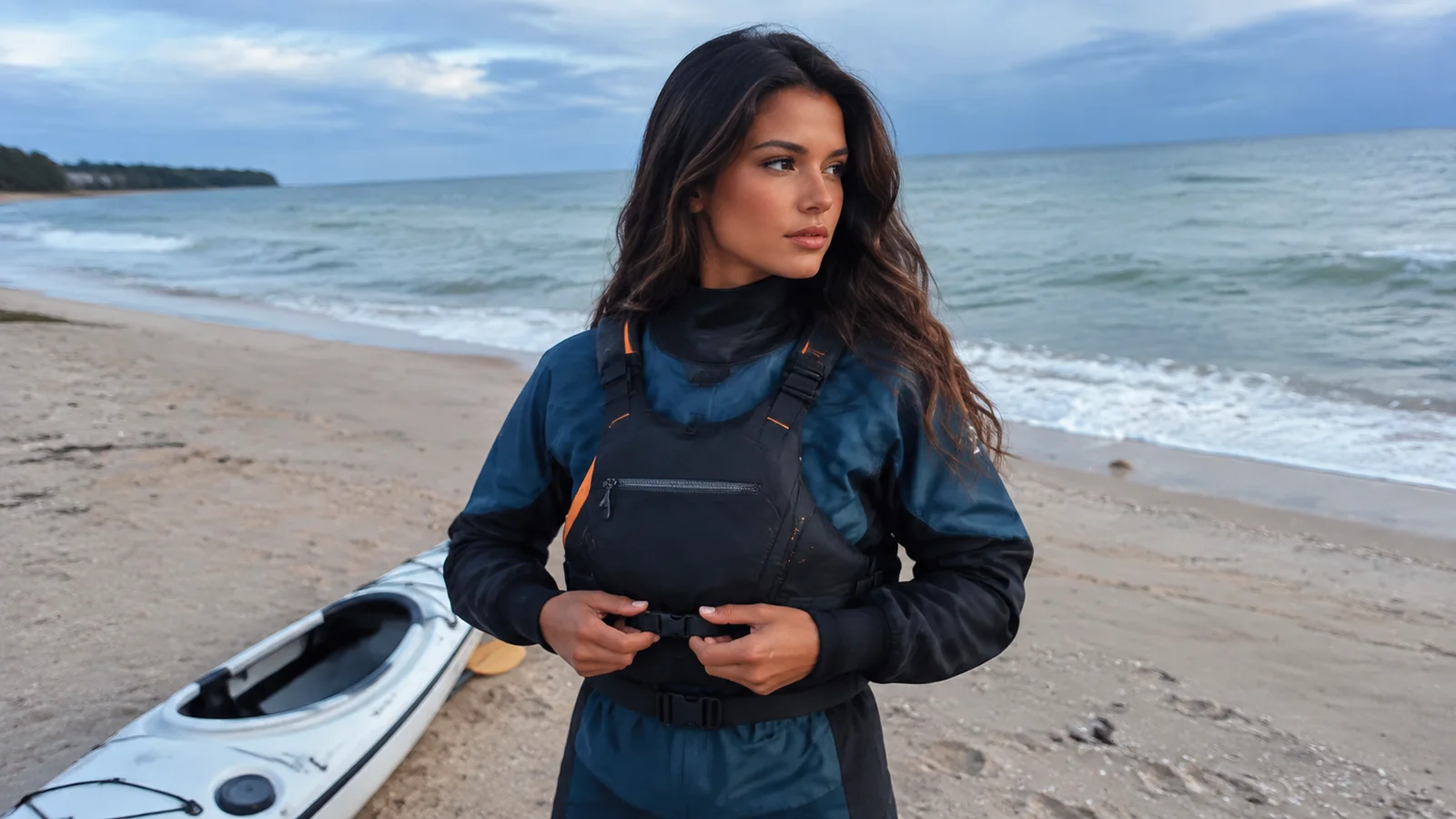
A properly fitted paddling PFD should be worn and fastened for the entire trip. Wisconsin requires each canoe, kayak, and paddleboard to carry a U.S. Coast Guard-approved wearable life jacket, while its boating guidance strongly favors actually wearing it.
Use a paddling wetsuit or drysuit appropriate to the water, wind, trip length, and rescue time. Cotton layers, a swimsuit, and a life jacket do not form an adequate cold-water clothing system.
Equipment I would require for open-lake travel
- A sea kayak with sealed flotation, deck lines, spray skirt, and a fit that allows control and wet exit.
- A worn PFD, whistle, bilge pump, paddle float, spare paddle, tow line, and accessible first-aid supplies.
- Thermal protection plus dry spare layers in waterproof storage.
- A charged waterproof VHF radio, with a phone in a waterproof case as a supplement rather than the only plan.
- A chart or map, deck compass, light, signaling device, water, food, sun protection, and repair items.
Equipment only helps when you can reach and use it after a capsize. Practice deploying the pump, paddle float, tow, radio, and spare paddle in controlled water before a trip.
File a float plan that triggers action
Give a reliable person your launch, route, group names, boat descriptions, alternate landing, communication devices, vehicle details, and overdue time. The plan also needs clear instructions about whom to call, since a text saying “kayaking today” cannot guide a search.
Send an update when you change the route and close the plan after landing. Cell service can connect to a distant tower or disappear below bluffs, so include location names and coordinates when reporting an emergency.
Island crossings are a different class of trip
The Manitou Islands lie roughly 8 miles from the mainland at the nearest point, across open water and a major shipping lane. NPS does not recommend that crossing unless paddlers are experienced, travel as a group, and can perform deep-water rescue and reentry.
In 2026, the regular Manitou Island ferry is not operating because there is no safe docking location during construction. The current NPS island notice also says private boats cannot dock, so old advice about carrying a kayak aboard the ferry is not usable this season.
Washington Island, Rock Island, and other Door County crossings also involve current, traffic, cold water, and rapidly changing exposure. A car ferry destination is not automatically a recreational-kayak crossing.
Best season for Lake Michigan kayaking
Late July through early September often offers the warmest water and broadest outfitter schedule, but it does not guarantee calm conditions. Spring and early summer can pair warm air with dangerously cold water, while fall brings colder water, shorter daylight, and faster-moving weather systems.
Sunrise paddles may benefit from lighter local wind, but “morning is always calm” is not a rule. Check the complete marine forecast and leave enough daylight for a slow return or alternate landing.
How to screen a guided tour
A good operator asks about age, swimming comfort, recent paddling, medical concerns, and rescue ability before assigning a route. It should also explain the boat, PFD, immersion wear, forecast threshold, group control, and refund or reschedule policy.
Be cautious if the selling point is guaranteed cave entry, a lighthouse crossing, or photographs regardless of weather. Guides cannot make open water predictable, and the right call may be a harbor lesson or full cancellation.
My recommendation for a first Lake Michigan paddle
Book a morning lesson or short guided tour in a protected part of Grand Traverse Bay, Door County, Milwaukee, or Chicago, then keep an inland backup. Choose the operator first and let that professional choose the exact launch after checking conditions.
If you already have sea-kayak rescue skills, Sleeping Bear’s sandy coast is the most rewarding next step on a conservative day. Save cliff zones, long crossings, and island objectives until your training, equipment, group, and forecast all support them.
For a broader driving trip, combine one carefully chosen paddle with the Great Lakes road-trip itinerary instead of moving boats every day. One excellent weather window is worth more than five launches forced into a fixed schedule.