Door County Lighthouses: A Practical Route to All 11
Door County’s 11 lighthouse sites are scattered across two shores, working Coast Guard property, wildlife refuge islands, and a state park reached by two ferries. You can see the easiest lights in two days, but touring every tower is impossible on an ordinary weekend, so the smartest plan begins with access rather than a checklist.
How many Door County lighthouses are there?
Destination Door County recognizes 11 historic lighthouse sites, counting the paired Baileys Harbor Range Lights and Plum Island Range Lights as sites rather than separate checklist entries. That convention produces the familiar total without pretending every tower is regularly open.
The official Door County lighthouse overview is the best starting point for current visitor information. Seasonal operators, weather, water levels, ferry schedules, federal restrictions, and special-event access can all change what is realistic.
My practical rule is to plan three groups: the southern Sturgeon Bay lights, the drive-up peninsula lights, and the boat-dependent northern lights. Mixing those groups into one day creates more windshield time than lighthouse time.
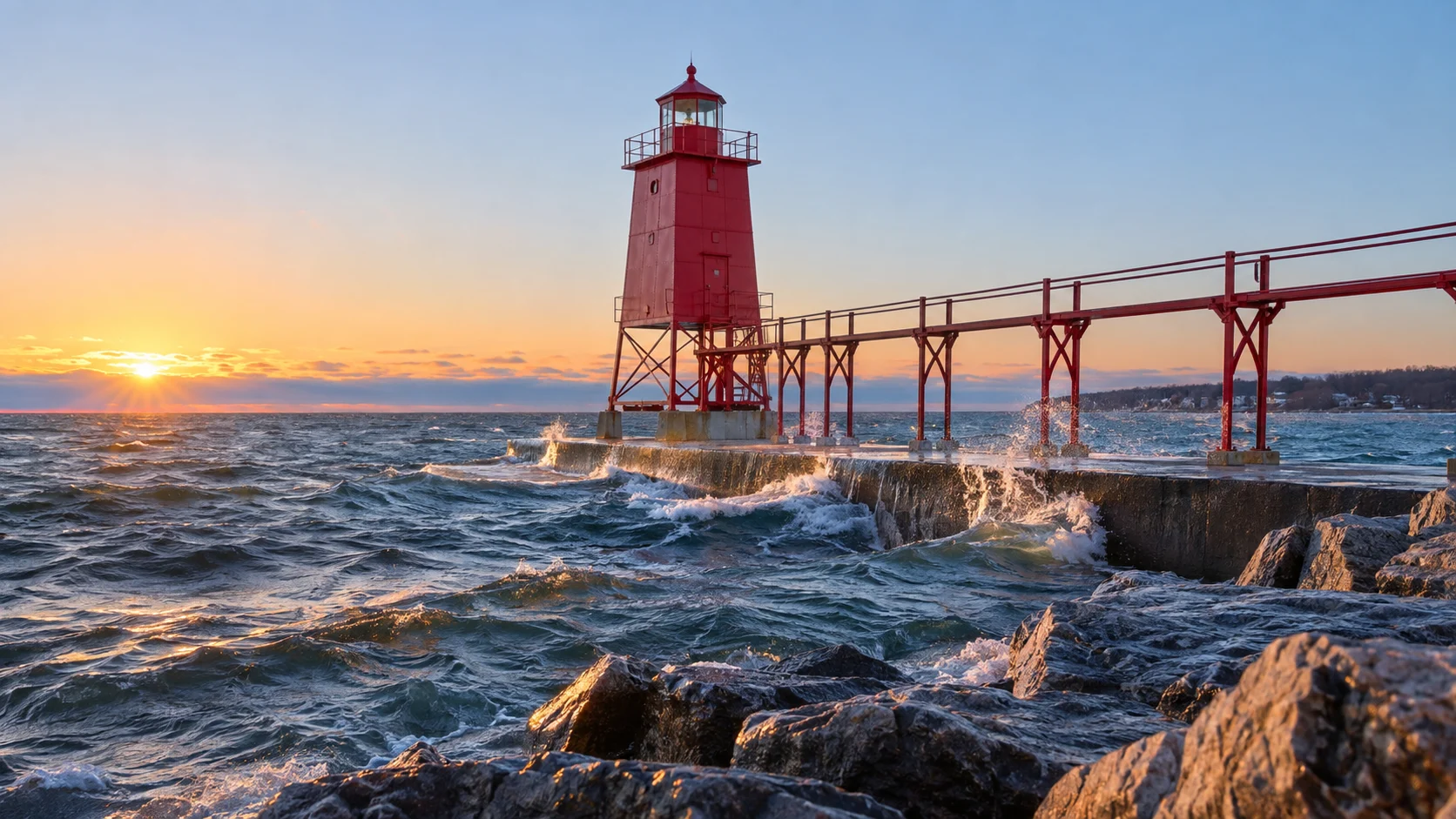
Route 1: Sturgeon Bay’s three lights
North Pierhead Light
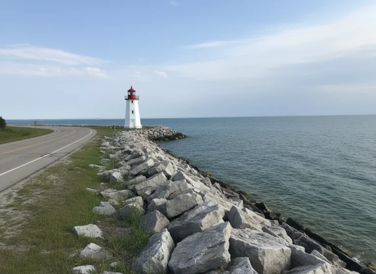
The red North Pierhead Light stands at the Lake Michigan end of the Sturgeon Bay Ship Canal. Visitors may park near the Coast Guard station gate, follow the marked driveway toward the seawall, and use only the lower-level breakwater that is open to the public.
Do not wander into the operational station or climb onto the upper breakwall. Spray, algae, ice, wind, and waves can make the concrete dangerous, so a pretty sunrise is never a reason to ignore a closure or rough-water warning.
The building itself is an exterior photo stop in normal conditions, not a walk-in museum. Early morning light works beautifully here, but winter visits require extra caution and appropriate footwear.
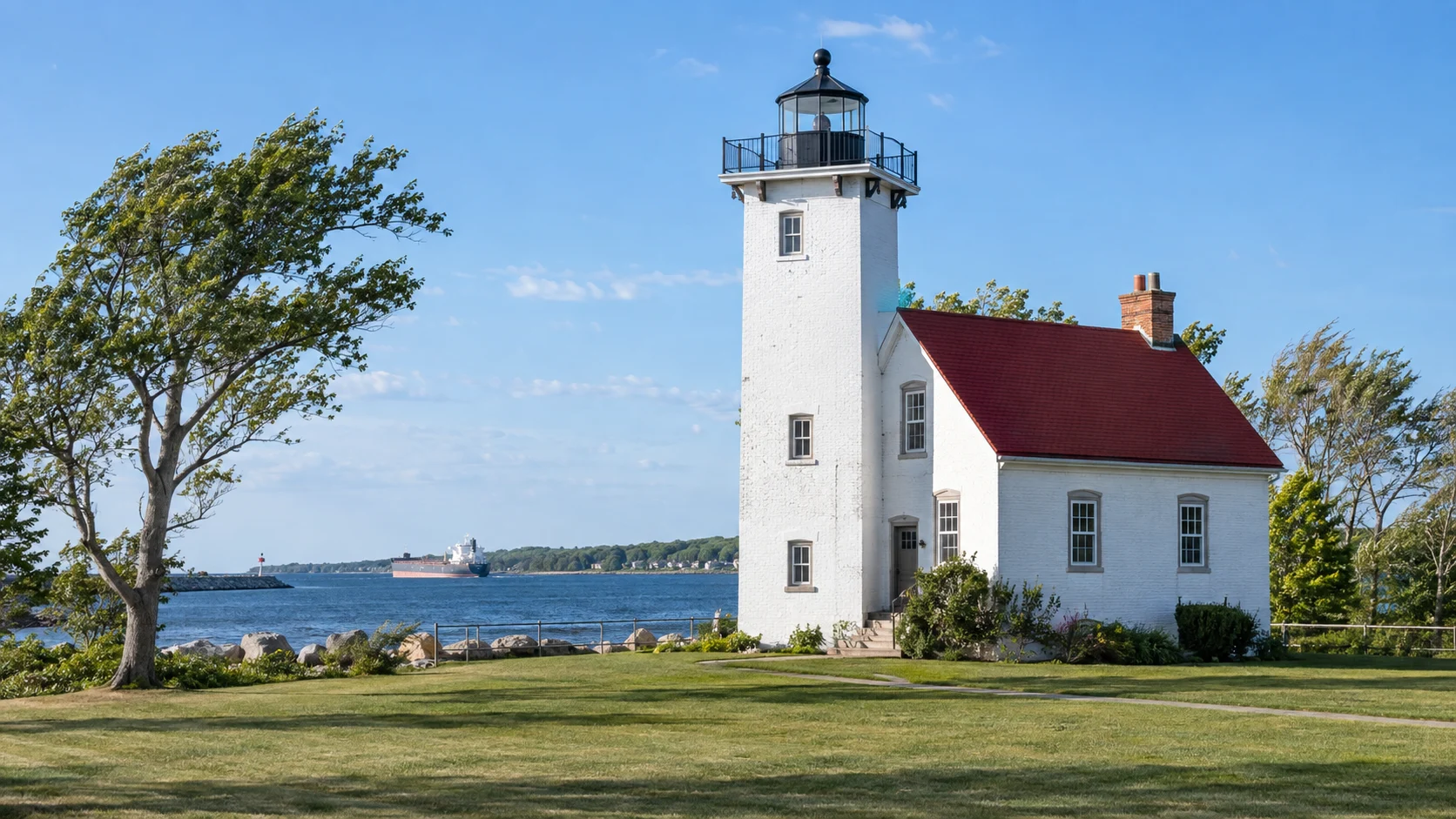
Sturgeon Bay Ship Canal Light
The taller white Ship Canal Light shares the active Coast Guard property with the pierhead site. You can see it from the permitted approach and lower seawall, but its grounds and tower are not normally open for casual entry.
Special Door County Lighthouse Passport Days can create limited access that does not exist on an ordinary Tuesday. Check the organizer’s current instructions rather than assuming a festival photo proves year-round public entry.
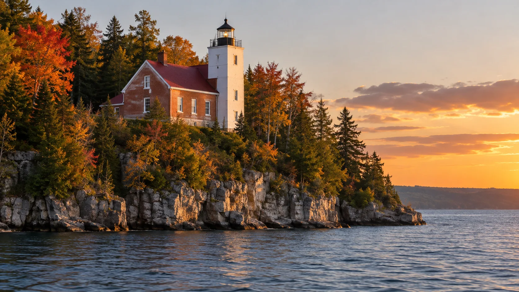
Sherwood Point Lighthouse
Sherwood Point sits west of Sturgeon Bay near the entrance to Sturgeon Bay itself. The lighthouse property is not normally open to the public and serves a Coast Guard recreational purpose, so it should not be treated as a drive-up attraction.
Your reliable choices are a water view or an authorized visit during a scheduled lighthouse event. Do not follow residential-looking roads, vacation-rental descriptions, or map pins onto restricted property.
These three stops make a logical half-day only when Sherwood Point has an authorized tour. On an ordinary visit, photograph the canal lights and see Sherwood Point from a legitimate boat route or distant public viewpoint.
Route 2: the west shore and Peninsula State Park
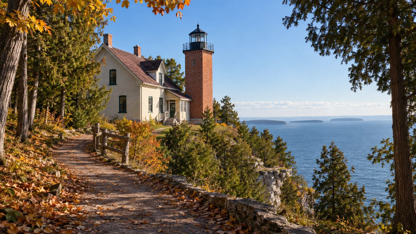
Eagle Bluff Light Station
Eagle Bluff is the peninsula’s easiest historic-house experience. It sits inside Peninsula State Park near Fish Creek, and the Door County Historical Society currently offers seasonal self-guided visits from mid-May through mid-October.
Check the Eagle Bluff Light Station schedule before driving into the park because hours, closures, and special programs can change. A Wisconsin state park vehicle admission sticker is required in addition to any lighthouse admission.
The museum experience focuses on the keeper’s home and life at the station. Do not assume that “lighthouse tour” always means climbing into the lantern, and ask staff which interior areas are open that day.
Pair Eagle Bluff with Fish Creek, Peninsula State Park overlooks, and a sunset along Green Bay. If you are building a longer Wisconsin loop, these scenic Wisconsin road-trip ideas make an easy next chapter.
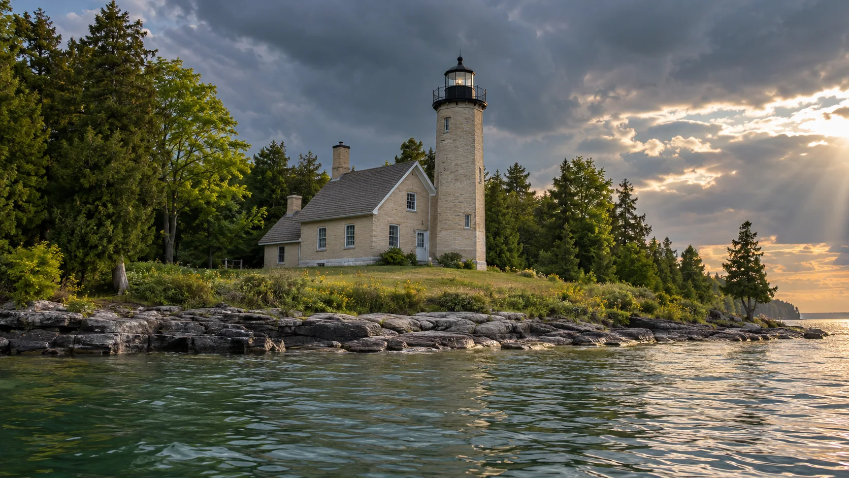
Chambers Island Lighthouse
Chambers Island lies about 7.5 miles northwest of Fish Creek and has no regular public ferry. Most of the island is privately owned, so arriving by private boat does not grant permission to roam wherever a road appears.
The lighthouse grounds have public access, but dependable interior and tower access is tied to limited guided opportunities, especially Lighthouse Passport Days. Those excursions involve a boat trip and a hilly walk of several miles, which makes footwear, water, and honest mobility planning essential.
For most visitors, a narrated cruise view is the responsible choice. Reserve any landing tour through the official festival operator and follow the guide rather than attempting an improvised shoreline arrival.
Route 3: the Baileys Harbor lighthouse trio
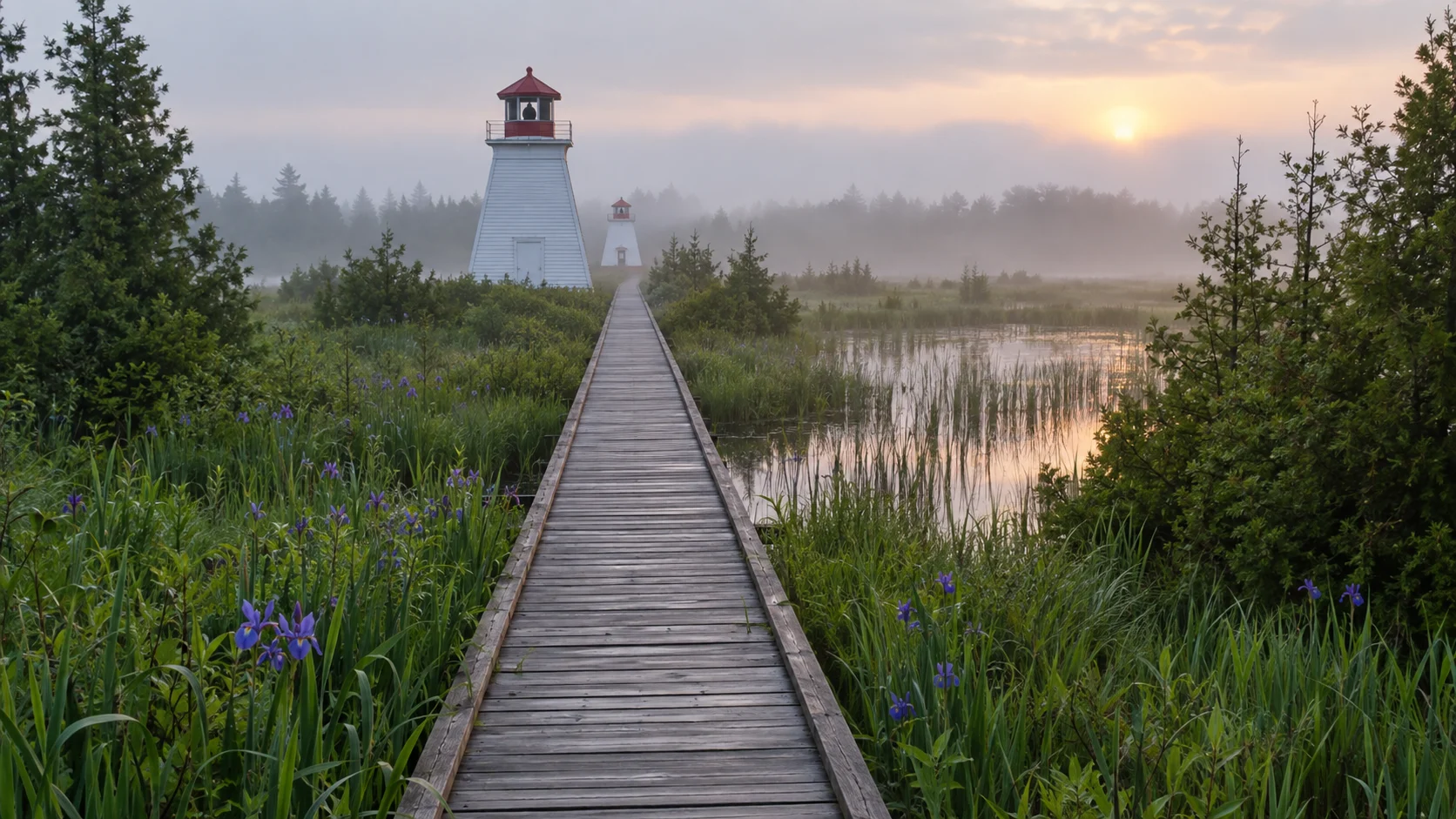
Baileys Harbor Range Lights
The Upper and Lower Range Lights stand along a straight corridor in The Ridges Sanctuary. The grounds and trail are generally available from dawn to dusk, while building access and guided programming follow the sanctuary’s current schedule.
A level boardwalk makes this one of the friendlier lighthouse landscapes for wheelchairs and strollers, although conditions and individual access needs vary. Start at the nature center, stay on marked paths, and protect the sensitive ridges-and-swales habitat.
The fun detail is understanding how the two lights worked together. Mariners aligned the beacons vertically to follow the safe range into Baileys Harbor, so stand along the axis and the whole design suddenly makes sense.
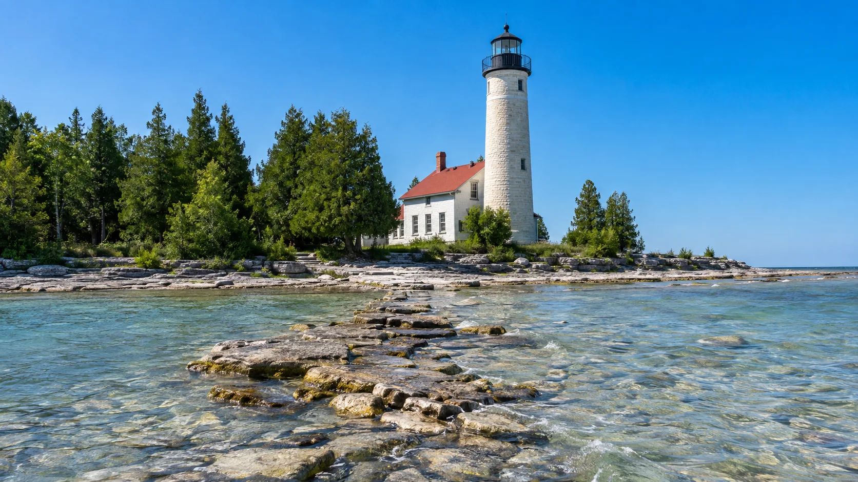
Cana Island Lighthouse
Cana Island is the peninsula’s classic tower climb, but reaching it involves a low causeway that can be wet or covered by Lake Michigan. A seasonal tractor wagon helps visitors cross on selected days and hours, while weather can still force closures.
The Door County Maritime Museum lists Cana Island as open seasonally from May through October, usually 10 a.m. to 5 p.m., with the last climb before closing. Confirm the day’s causeway, tractor, and climb status on the official Cana Island page before leaving.
The tower has 97 spiral steps, and current rules include age and height requirements for climbers. The grounds, keeper’s house, oil house, and shoreline still make a worthwhile visit for anyone who skips the stairs.
Wear shoes that can handle water and uneven stone, and never drive across the causeway. Allow at least 90 minutes because rushing a lake crossing and tower line is a remarkably unromantic way to see a lighthouse.
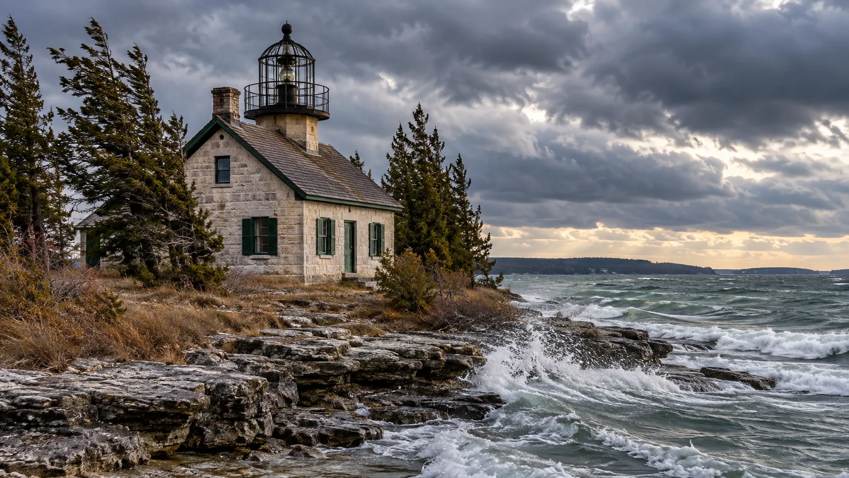
Old Baileys Harbor Light
The 1852 Old Baileys Harbor Light is nicknamed the Bird Cage because of its distinctive lantern structure. It stands on private, environmentally sensitive land and is best viewed from the water.
Do not try to bushwhack to it from a nearby road or beach. A legitimate Baileys Harbor cruise can combine water views of the Bird Cage, Range Lights, and Cana Island without trespassing.
This is the least satisfying stop for travelers who insist on walking to every pin, but one of the most memorable from a boat. That is a useful reminder that lighthouses were designed for mariners first.
Route 4: Death’s Door, Washington Island, and Rock Island
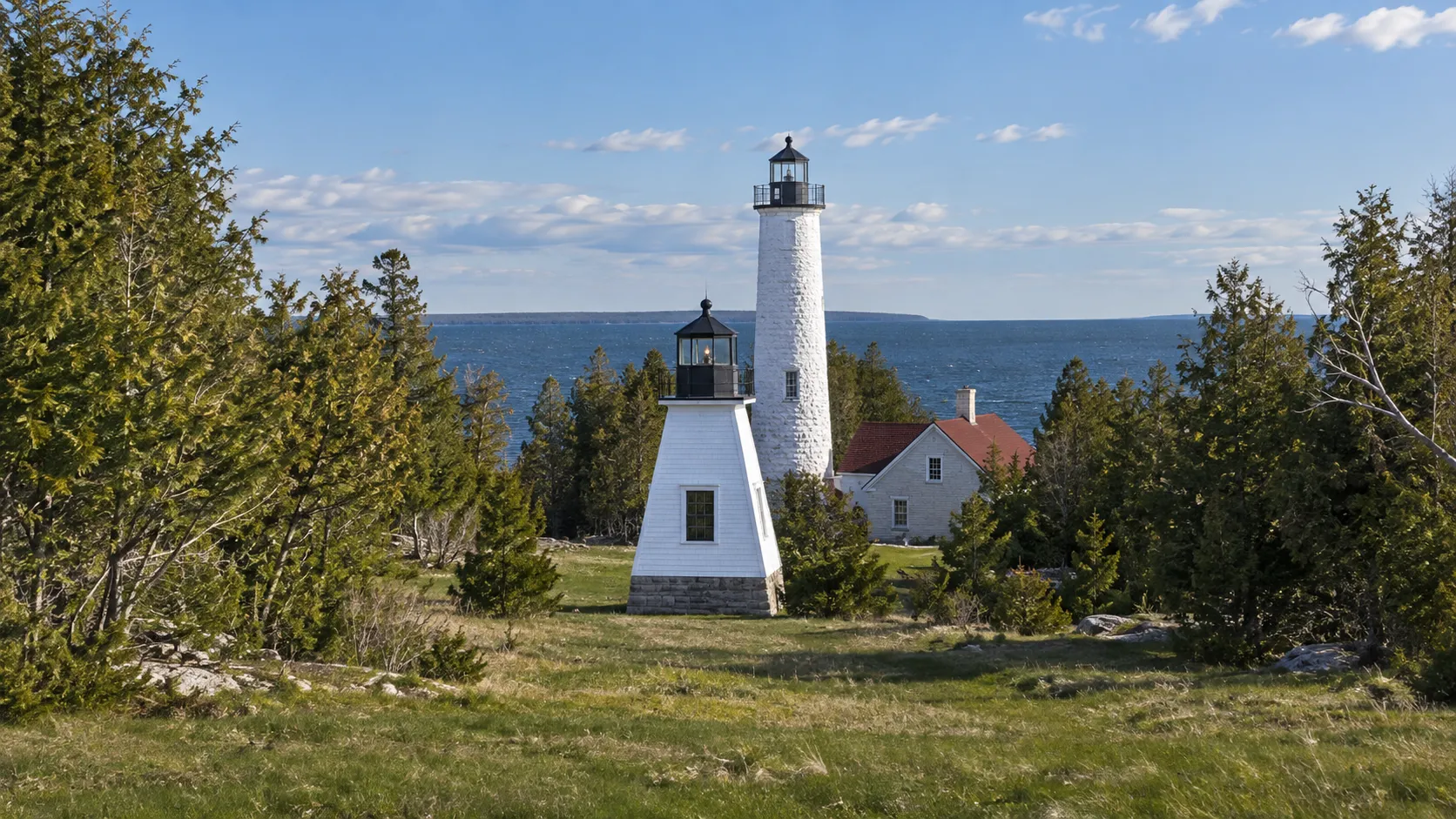
Plum Island Range Lights
Plum Island is part of Green Bay National Wildlife Refuge and is not a drive-up stop. The island is reached only by private boat, kayak, or a permitted commercial operator, and paddling through Death’s Door demands suitable experience and conditions.
The U.S. Fish and Wildlife Service says Plum Island is open during daylight from Memorial Day weekend through Labor Day weekend. Visitors must travel on foot and stay on designated mowed trails and beach areas.
The historic rear range light and front range structure can be viewed on authorized island visits, but ordinary refuge access does not promise tower entry. Seasonal interpretation or Passport Days may add supervised opportunities, so book the actual program rather than assuming.
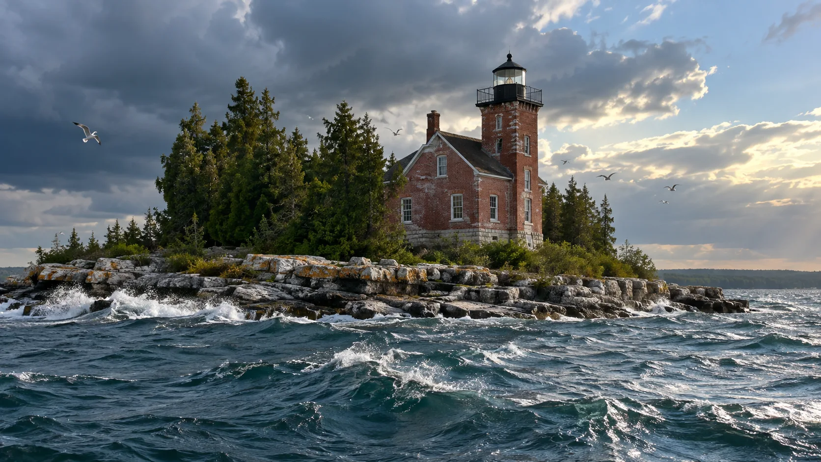
Pilot Island Lighthouse
Pilot Island is also within the federal refuge, but its access rule is completely different. The island is closed to all public use to protect migratory and colonial nesting birds.
See the 1858 lighthouse from an authorized boat tour, the Washington Island ferry route when visibility cooperates, or another lawful water viewpoint. There is no self-guided landing, trail, grounds visit, or tower climb.
The Green Bay refuge rules are worth reading before any Plum or Pilot plan. Wildlife protection wins over completing a photo checklist, exactly as it should.
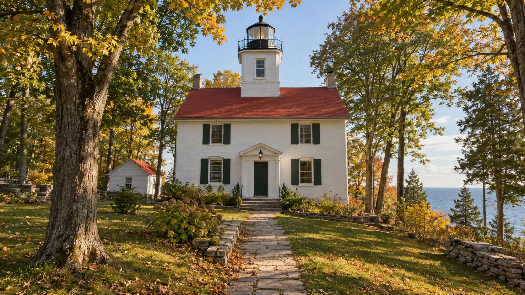
Pottawatomie Lighthouse on Rock Island
Pottawatomie is the most rewarding all-day lighthouse outing and the one most likely to surprise under-planners. Reaching Rock Island State Park requires a car ferry to Washington Island, a drive across that island, and a second passenger ferry from Jackson Harbor.
Vehicles do not continue to Rock Island, so everything beyond the landing happens on foot. The lighthouse sits on the island’s northern side, reached by a woodland hike rather than a shuttle.
Wisconsin DNR says the Rock Island ferry generally operates from Memorial Day weekend through the second Monday in October. Its Pottawatomie tour page lists daily lighthouse tours from 10 a.m. to 4 p.m. during the main season and permits visitors to climb to the lantern room during tours.
That is genuine tower access, not just exterior viewing, but ferry, weather, staffing, and capacity can still affect the day. Take an early Washington Island ferry, carry food and water, and leave generous time for both return connections.
Can you see all 11 in one weekend?
You can see or photograph many lights during a specially scheduled Passport Days weekend, when boat, land, and occasional interior tours are coordinated. Even then, seeing every site requires advance reservations and careful timing because popular island trips sell out.
On a normal weekend, concentrate on North Pierhead, Ship Canal, Eagle Bluff, the Range Lights, and Cana Island. Add a boat cruise for Old Baileys Harbor, Chambers, Sherwood Point, Plum, or Pilot depending on the operator’s route.
Give Pottawatomie its own full day. A rushed double-ferry plan is vulnerable to one parking delay, full sailing, thunderstorm, or missed connection.
Best season for a lighthouse trip
Late May through early October offers the broadest combination of museums, tower tours, ferries, and cruises. Summer brings the most options and crowds, while September often balances pleasant hiking with fewer families after school resumes.
Fall color is gorgeous, but wind, shorter days, and seasonal closing dates matter. Winter suits exterior photographs at legal mainland viewpoints, not a promise of open towers, island ferries, or safe breakwaters.
Fog and rain can erase distant water views even when a boat sails. Build one flexible inland activity into the plan and never pressure a captain to operate for the sake of your itinerary.
Practical lighthouse etiquette
Respect Coast Guard gates, refuge closures, private shoreline, tour boundaries, and posted drone rules. Pack out trash, keep voices low near homes and wildlife, and do not climb railings or structures for a photograph.
Bring a wind layer, rain shell, water, binoculars, and shoes with dependable grip. Lake Michigan and Green Bay can feel much colder than the village you left 20 minutes earlier.
If Great Lakes beacons have officially won your heart, continue with these Lake Michigan lighthouse stops. You can also connect Door County to a wider Great Lakes road-trip route without repeating the same shoreline.
My ideal Door County lighthouse plan
I would give the mainland lights two full days: Sturgeon Bay and Eagle Bluff on day one, then the Baileys Harbor trio on day two. A third day goes to Pottawatomie, while a fourth makes room for a carefully chosen boat tour.
That pace will not put your shoes inside all 11 towers, because the public is not allowed inside all 11 towers. It will give you the best parts of the peninsula without confusing a map pin with an invitation.