Isle Royale Hiking: Choose the Right Route and Trip Length
Isle Royale hiking starts with transportation and campsite reality, not a trail wish list. Day hikers can base at Rock Harbor or Windigo, while backpackers need an itinerary that fits ferry days, first-come camps, slow terrain, water sources, current closures, and enough margin for Lake Superior weather.
A critical camping update
For the remainder of the 2026 park season through October 31, tent and group sites plus hammock use are closed at Three Mile, Daisy Farm, Moskey Basin, and Caribou Island because of continued wolf activity and food-storage concerns. Shelters remain open, but they are first come, so do not build an east-end tent itinerary around getting one.
The park has also closed nearby off-trail zones and reports a flagged reroute around flooding on the Greenstone Ridge Trail between Daisy Farm and East Chickenbone. Check Isle Royale’s current conditions immediately before departure because these restrictions can change faster than a printed itinerary.
Choose your trip style first
- One day: Visit Windigo on a day ferry and hike the 1.2-mile nature trail or another ranger-confirmed short route.
- Two to four nights without backpacking: Stay near Rock Harbor and use day hikes, a water taxi, or a ranger program as conditions allow.
- First backpack: Choose a short out-and-back or loop from one transport hub, with low-mileage camp changes and a weather buffer.
- Intermediate backpack: Consider the roughly 30-mile Feldtmann Loop from Windigo over four or five hiking days.
- Experienced wilderness traveler: Plan a Greenstone traverse or the Minong only after solving transport, navigation, water, and evacuation limits.
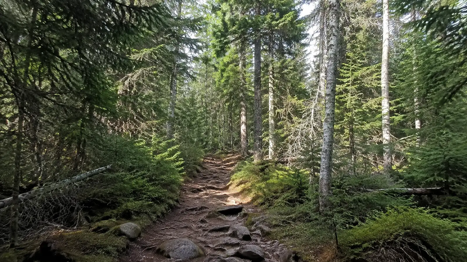
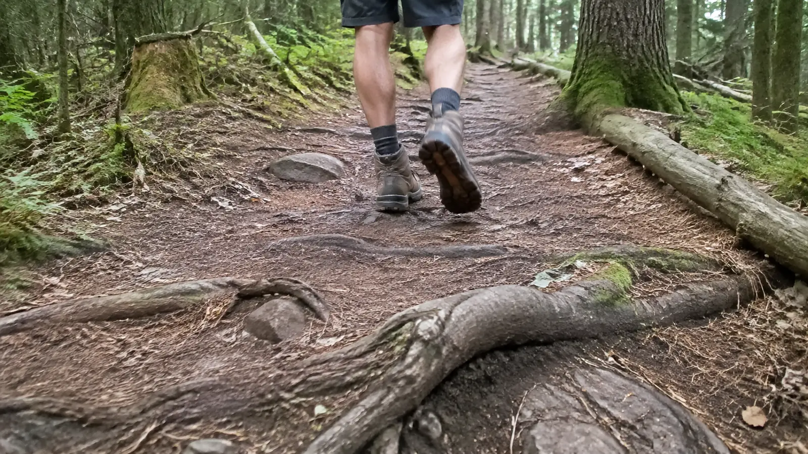
A strong mainland hiker can still be surprised by Isle Royale miles. Rocks, roots, slick boardwalks, mud, beaver flooding, brush, ridge heat, and a full food carry make a 7-mile day feel very different from seven groomed trail miles.
Rock Harbor or Windigo?
Choose Rock Harbor for lodge support and eastern day hikes
Rock Harbor is the more developed eastern gateway, with the lodge, visitor services, potable water, and access to the Tobin Harbor, Stoll, Rock Harbor, Mount Franklin, and Greenstone trail network. It suits travelers who want wilderness day hikes but prefer a room, cabin, or front-country base.
Ellie’s broader Isle Royale National Park overview helps compare hiking with paddling, boating, and lodge time. This page stays focused on trail choice, camping logistics, and what hikers need to carry.
The Stoll Trail to Scoville Point is the classic first hike, roughly 4.2 miles round trip depending on the exact lodge start. Expect exposed shoreline rock, roots, and uneven footing rather than a paved viewpoint walk.
Suzy’s Cave is another achievable destination, but mileage changes with the chosen combination of Tobin Harbor, Rock Harbor, and connector trails. Carry the park map and ask a ranger to mark the current route instead of following a casual phone estimate.
Choose Windigo for quieter western routes
Windigo, also called Ozaagaateng in current park materials, is the southwest gateway and the natural base for the Feldtmann Loop. It also offers day access to the Windigo Nature Trail, Minong Ridge Overlook, and Huginnin Cove Loop.
The Windigo Nature Trail is about 1.2 miles, but its rocks and wet boardwalks still require attention. The Minong Ridge Overlook is roughly 6 miles round trip, while the full Huginnin Cove Loop is about 8.2 miles and better for an experienced day hiker or a first overnight backpack.
Transportation controls the itinerary
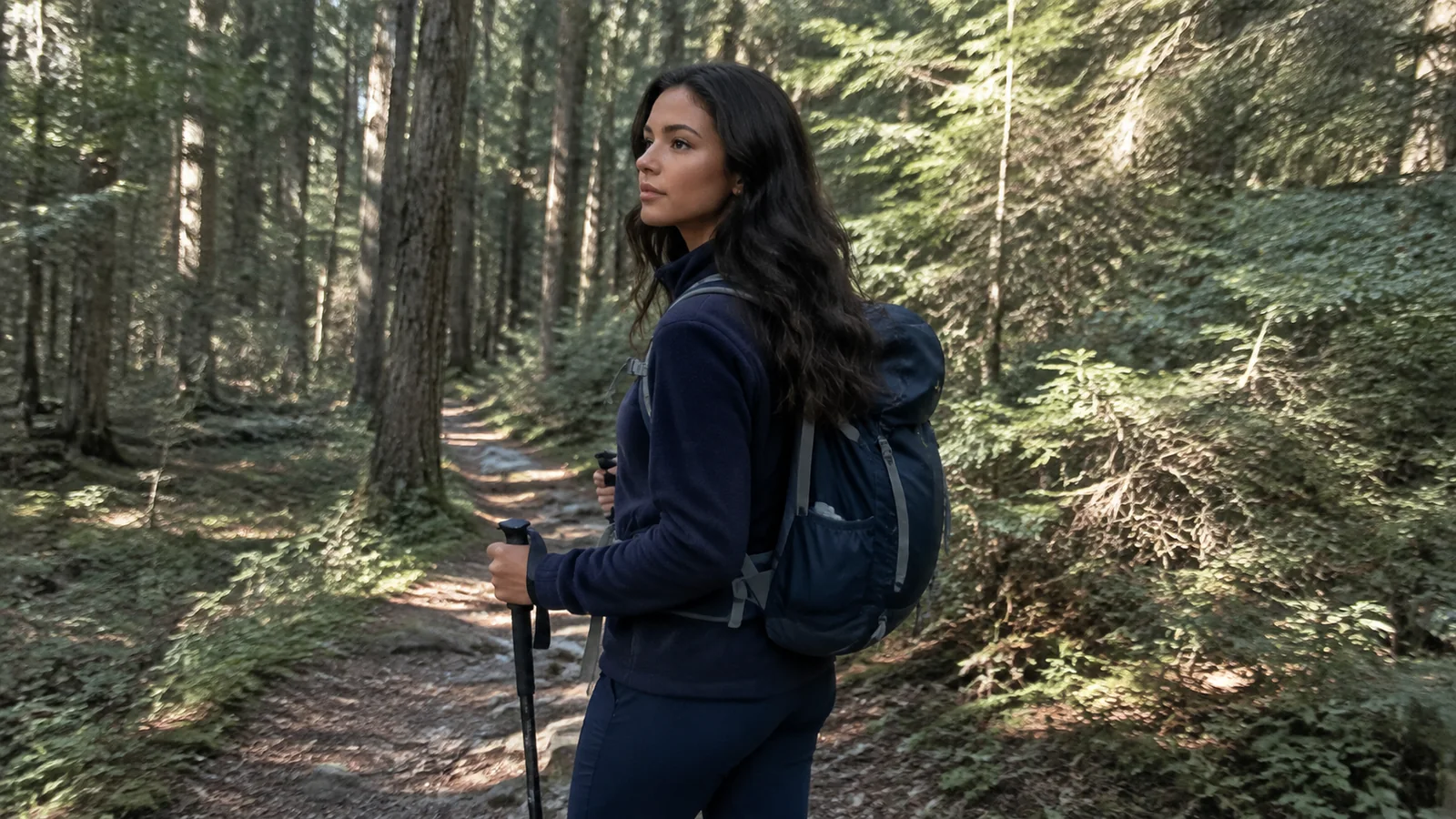
There are no roads or car ferries to Isle Royale, and every public visitor arrives by passenger vessel or seaplane. NPS says transport normally operates from mid-May through September, although individual boats use different mainland ports and calendars.
Review the park’s transportation overview, then book the exact outbound and return before choosing camps. The 2026 Ranger III, for example, takes about six hours each way between Houghton and the island and does not offer a same-day round trip.
Copper Harbor boats usually reach Rock Harbor, Houghton service primarily reaches Rock Harbor with a few Windigo dates, and Grand Portage boats serve Windigo plus selected island docks. A seaplane is faster but remains vulnerable to visibility, wind, and operational delays.
Leave a mainland hotel night before departure and avoid a tight flight or long drive immediately after the scheduled return. Fog, waves, mechanical issues, or wildfire smoke can move the trip, and the island is not a place where a missed connection has an easy replacement.
Best Isle Royale hiking routes
Rock Harbor day-hike plan
Spend the first day on the Stoll Trail to Scoville Point, using the shorter loop as a test of footwear and footing. Follow with a ranger-confirmed Suzy’s Cave route, Tobin Harbor walk, or Mount Franklin combination if the group still feels strong.
Do not treat a water taxi as guaranteed transportation home from a one-way hike. Reserve service when available, confirm the dock and time, and carry enough gear to manage a delay.
Windigo day-hike plan
Day-ferry visitors have a strict turnaround and should stay with the short Windigo Nature Trail unless staff confirm enough time for something longer. Overnight lodge or camper-cabin guests can devote a full day to Minong Ridge Overlook or the 8.2-mile Huginnin loop.
Huginnin works as a useful first backpack because you can split the loop with a night at the cove. It still requires treated water, food storage, navigation, and a permit, and its boardwalks become slippery after rain.
Feldtmann Loop: best first substantial circuit
The Feldtmann Loop starts and ends at Windigo and totals about 29.6 miles across its standard four sections. The usual sequence is Windigo to Feldtmann Lake, Feldtmann to Siskiwit Bay, Siskiwit to Island Mine, and Island Mine back to Windigo.
Those segments are approximately 8.5, 10.3, 4.3, and 6.5 miles, so the difficulty is not evenly distributed. The long Feldtmann Ridge day has scarce accessible water and exposed stretches, while the Siskiwit section may be altered by shoreline and beaver conditions.
Four trail nights gives the route breathing room, especially if transportation timing consumes arrival or departure daylight. A stronger group can move faster, but there is little benefit in reaching camp exhausted before an unreserved site search.
Greenstone Ridge: the classic traverse
The Greenstone Ridge Trail forms the island’s central spine, but a practical dock-to-dock trip includes connectors beyond the named ridge. Plan roughly 40 to 45 trail miles and usually six to eight hiking days, then confirm every segment against the current park map.
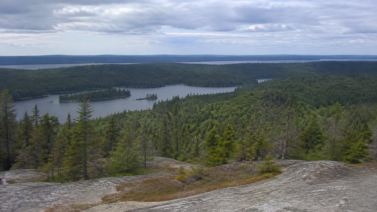
The ridge trades repeated shoreline rock for long, sometimes hot stretches with water located down at camps rather than beside the path. A complete traverse also needs transportation that arrives at one end and departs from the other, or a boat connection that makes the itinerary work.
For a first visit, the Greenstone is more forgiving than the Minong but not easy. Carry map-and-compass skills, watch water capacity, and keep daily mileage near the park’s common six-to-eight-mile backpacking pace until you know your speed.
Minong Ridge: save it for advanced backpackers
The core Minong route from McCargoe Cove to Windigo is about 32.2 miles across four official sections, yet distance badly understates the challenge. It is primitively maintained, isolated, steep, wet, brushy, and partly marked by cairns across exposed rock.
The 5.7-mile Little Todd to North Desor segment is identified by NPS as the most difficult section and a frequent search-and-rescue location. The final North Desor to Windigo section is about 13 miles with no accessible water along the way and beaver-dam crossings that can change.
Choose the Minong only if every member can navigate away from a tread, manage an injury, carry a long water supply, and keep moving through a full difficult day. The beautiful-hikes planning checklist is useful here because access and consequence matter more than scenery rankings.
Permits and campsites do not work like reservations
Every overnight party needs a camping permit, whether staying at a campground, cross-country site, dock, or anchor. Parties of six or fewer receive a free small-party permit on arrival, while groups of seven or more use an advance group process and fee.
Small-party campsites are first come and cannot be reserved, even though your permit lists an intended itinerary. The park’s backpacking and camping rules explain stay limits, overflow expectations, permit display, and the difference between small and group parties.
A shelter is a shared public resource, not lodging you have booked. Bring a legal sleep system for the places you plan to use, but respect current campground-specific bans such as the 2026 east-end tent and hammock closure.
Food storage changed the way you pack
For 2026, food, trash, and scented items must go in campground food lockers or approved animal-resistant hard-sided containers. Soft dry bags and mesh sacks do not qualify, and backpacks stored in shelters do not make the food inside compliant.
Plan container volume for every meal, snack, wrapper, toiletry, and scented item before boarding. Do not leave overflow in a pack, tent, or shelter corner, since poor storage has contributed to current wolf behavior and closures.
Water treatment requires two steps or boiling
Potable water is limited to Rock Harbor and Windigo, so backcountry lake and stream water must be treated. NPS recommends a physical purifier rated for viruses, a filter of 0.4 microns or finer followed by chemical or UV treatment, or a rolling boil for at least one minute.
The park’s drinking-water instructions explain that chemical treatment alone is insufficient and UV-only devices have not been manufacturer-tested for hydatid tapeworm. Bring a field-cleanable filter or spare cartridge and enough fuel if boiling is your backup.
Do not try to treat visible harmful algal blooms because backcountry methods cannot reliably remove cyanotoxins. Current 2026 conditions report blooms in Lake Richie and Intermediate Lake, so check again before fixing your nightly water plan.
Best month to hike Isle Royale
Late July and August usually provide the broadest transportation and service schedule, but also busy camps, mosquitoes, heat on ridges, and summer storms. September can bring fewer insects and fall color, along with shorter days, colder nights, reduced services, rough crossings, and bull-moose rut behavior.
May and June offer long daylight and cool hiking, yet cold rain, mud, bugs, and limited early-season transport can define the trip. The park closes to visitors from November 1 through April 15, and ordinary public transport does not cover that closed winter period.
Weather, navigation, and emergency planning
Isle Royale can be cold on the Lake Superior shore while ridges are hot and exposed, with the park warning of swings around 20 degrees. Pack a true rain shell, warm layer, dry sleep clothing, sun protection, and enough capacity for an unexpected night.
Phone service is not a rescue plan. Carry a paper topographic map, compass, and the skill to use both, then consider a two-way satellite communicator with a trusted contact who holds your itinerary.
Tell that contact the transport provider, route, camp sequence, overdue threshold, and park emergency information. If someone is injured, protect them from cold, identify the exact location, and communicate rather than splitting the group impulsively.
Moose and wolf safety
Give moose a wide berth, never step between a cow and calf, and be especially cautious around bulls during the fall rut. If surprised, back away slowly and place a sturdy tree or rock between you and the animal.
If a wolf approaches, do not run or turn your back. NPS wildlife safety guidance says to clap and yell, maintain eye contact while backing away if it persists, and make yourself large if you cannot safely leave.
Report wolf sightings to a ranger promptly, particularly any bold behavior near camp. Wildlife sightings are never a reason to approach, feed, surround, or delay an animal on the trail.
What to pack differently for Isle Royale
- Approved hard-sided food storage capacity or a camp plan based on lockers, with no unprotected overflow.
- A 0.4-micron-or-finer filter plus chemical or UV treatment, and a separate plan if blooms affect the source.
- Paper map, compass, headlamp, spare batteries, first-aid and blister supplies, repair tape, and emergency communication.
- Rain gear, insulating layers, dry sleep clothes, insect head net, repellent, sun protection, and trekking poles.
- Enough food and medication for transportation delay, while keeping total pack weight realistic.
Test the full pack on rough local trails before departure, not just on a treadmill. If 8 miles with food and water already strains knees or feet, shorten the island itinerary rather than hoping scenery will create extra capacity.
My final recommendation
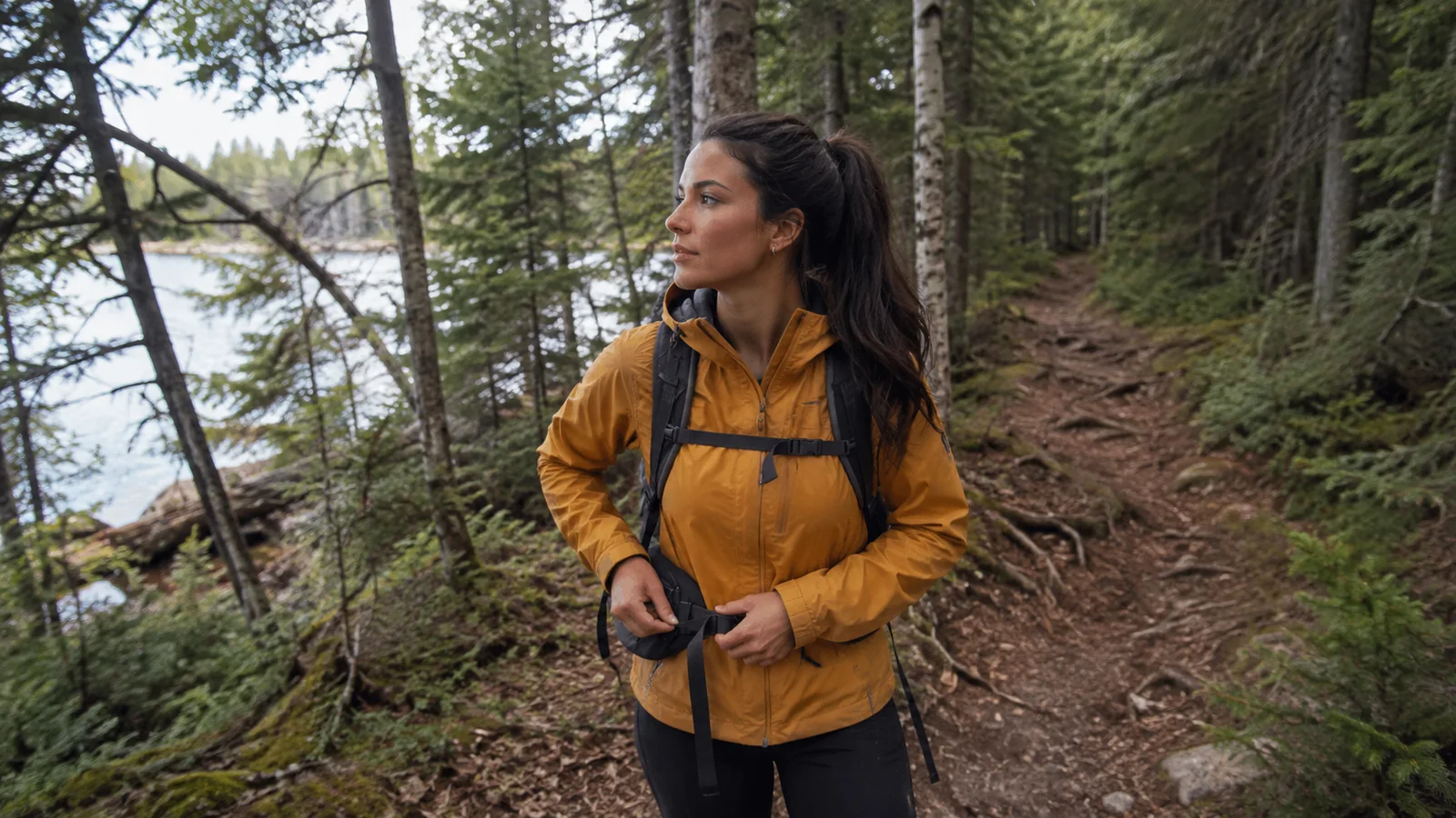
For a first hiking-focused visit, stay three nights at Rock Harbor and choose day routes after speaking with a ranger, or spend four to five trail nights on the Feldtmann Loop from Windigo if you already backpack comfortably. I would not recommend the Minong as a first Isle Royale route.
For 2026, backpackers should be particularly cautious with east-end plans because current tent closures leave only unreservable shelters at several popular camps. A shorter legal route with one buffer day is the better trip than a famous traverse built on accommodations you cannot count on.
Place the mainland legs within Ellie’s Great Lakes road-trip itinerary, but give the island its own schedule. Isle Royale rewards margin, and margin begins before the boat leaves the dock.