Vancouver Island Waterfalls: A Practical Road Trip Guide
Vancouver Island rewards waterfall hunters, but the pins are spread across ferry routes, city trails, provincial parks, and genuine backcountry. This guide separates easy road-trip stops from hikes that require time, current-condition checks, and a much healthier respect for wet rock.
Choose the Right Vancouver Island Waterfall Route
- One day from Victoria: Niagara Falls and Goldstream Falls
- One day around Nanaimo: Stocking Creek, Ammonite Falls if its access is open, and Englishman River Falls
- Parksville or Qualicum base: Englishman River Falls and Little Qualicum Falls
- Campbell River base: Elk Falls, Lupin Falls, and Lady Falls
- Full Strathcona day: Lower or Upper Myra Falls
- Backcountry expedition: Della Falls
A seven-day trip can connect Victoria, Parksville, and Campbell River without racing. If Tofino and Ucluelet are also priorities, add at least three nights because Highway 4 is a cross-island commitment, not a quick coastal loop.
Know Before You Chase Waterfalls
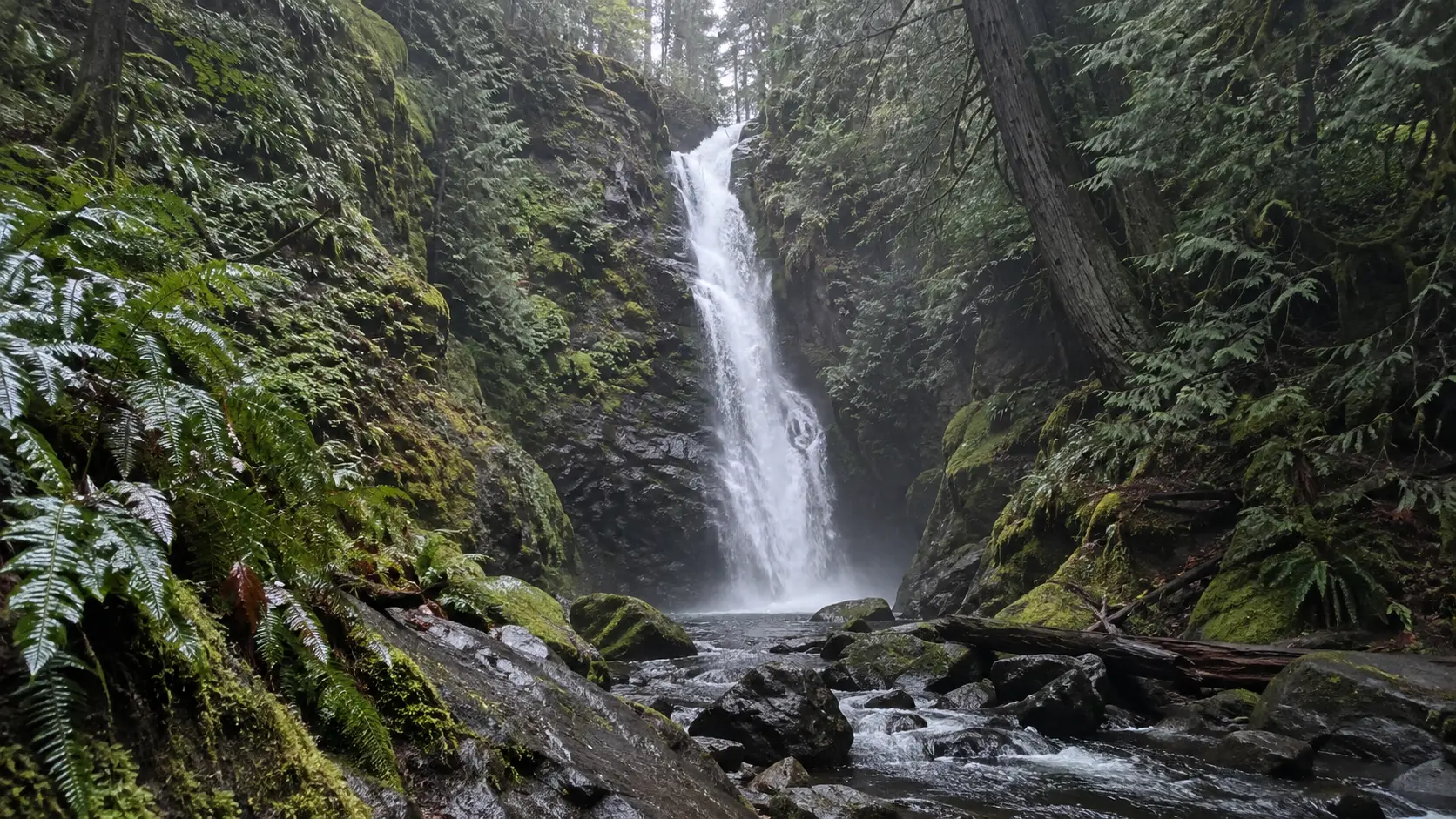
Waterfall flow is seasonal, and rain changes both the photograph and the risk. Winter storms and spring runoff can make cascades dramatic while turning roots, bridges, creek edges, and stairs slick enough to end the day early.
Check the managing park’s advisory page on the morning of your visit, then check DriveBC for highway incidents and closures. Offline maps help with navigation, but an old download cannot tell you that a bridge, road, or ravine stairway closed yesterday.
Bring a waterproof shell, shoes with real tread, water, a light, and a dry layer in the car. The island’s forest can feel dark long before sunset, and phone service becomes unreliable on remote sections.
If these falls are one piece of a longer trip, the pacing in this Canada road-trip planner helps prevent a week of windshield views. Vancouver Island alone can absorb a vacation, so do not treat it as a Vancouver afternoon.
South Vancouver Island Waterfalls
Niagara Falls in Goldstream Provincial Park
This Niagara Falls is a narrow forest cascade near Victoria, not a miniature version of the Ontario attraction. BC Parks lists it at 47.5 meters, or about 156 feet, and warns that Goldstream has cliffs, strong currents, and slippery creek banks.
Access is the detail that matters most. The Trans-Canada Highway divides the park, and BC Parks says there is no pedestrian access between its east and west sides, so use the correct parking area and never dash across the highway.
Review the official Goldstream Provincial Park page and map before leaving Victoria. “It looks close” is not safe route planning when highway lanes sit between you and the trail.
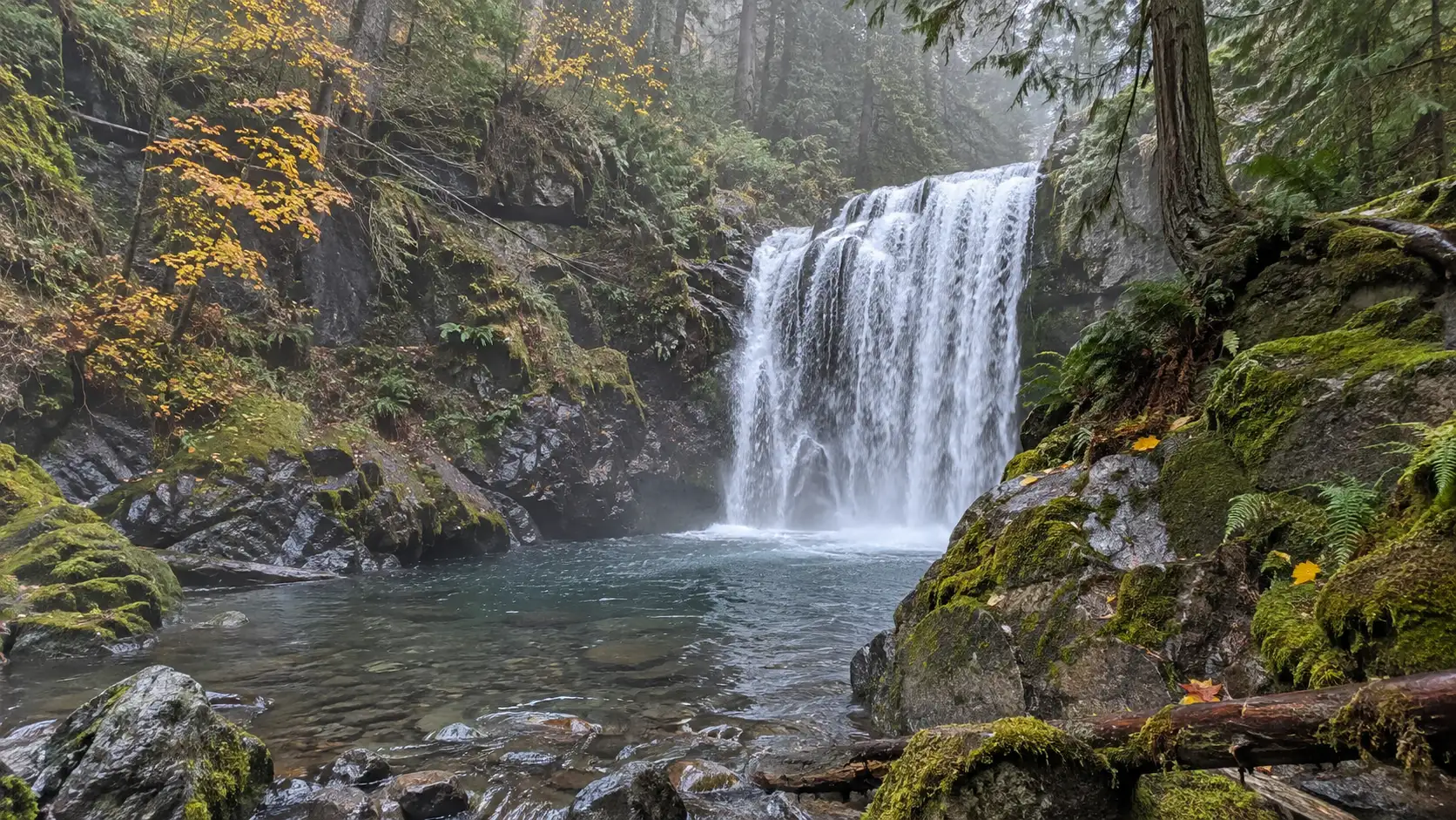
Goldstream Falls
Goldstream Falls is in the southwest portion of the same park near the campground, but it is not the same stop as Niagara Falls. Plan it as a separate walk and confirm seasonal campground access, parking, and trail notices.
This is a good pairing for travelers staying north of downtown Victoria or continuing toward the Malahat. It is a poor last-minute add-on if darkness, heavy rain, or ferry timing has already compressed the day.
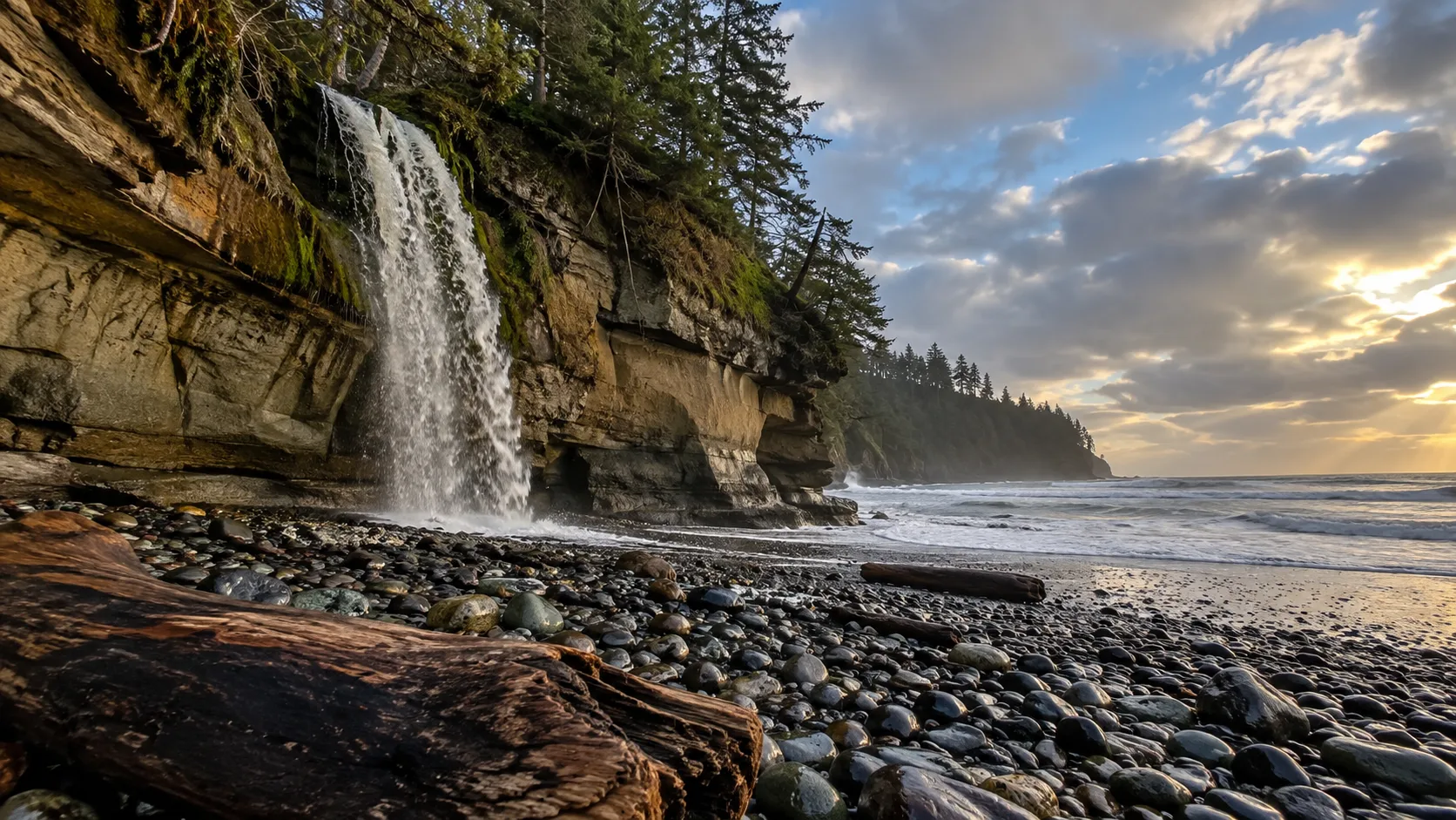
Sandcut Beach Waterfall
Sandcut Beach in Jordan River Regional Park combines a forest approach, stairs, and a long cobble beach. A small shoreline cascade can appear more or less substantial with recent rain, so come for the coastal walk rather than demanding a full curtain of water.
Check tide, wind, and daylight, and remember that wet cobbles are slow underfoot. This fits a Highway 14 day toward Sooke and Port Renfrew, not the direct drive from Victoria to Nanaimo.
Nanaimo and Cowichan Valley Waterfalls
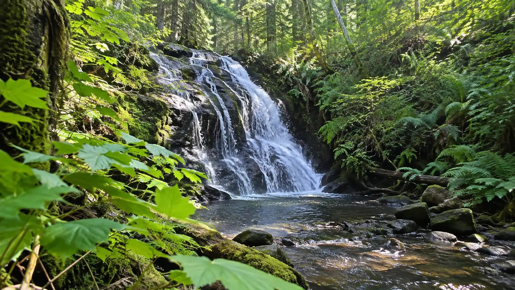
Stocking Creek Falls
Stocking Creek Park near Ladysmith is one of the easiest falls to add between Victoria and Nanaimo. The forest trails and viewing area make it a sensible leg-stretch stop, though mud and slick boardwalks can still change the effort.
Use the signed park access and remain on maintained paths. Waterfall shortcuts compact vegetation and usually deliver a worse angle with a better chance of slipping.
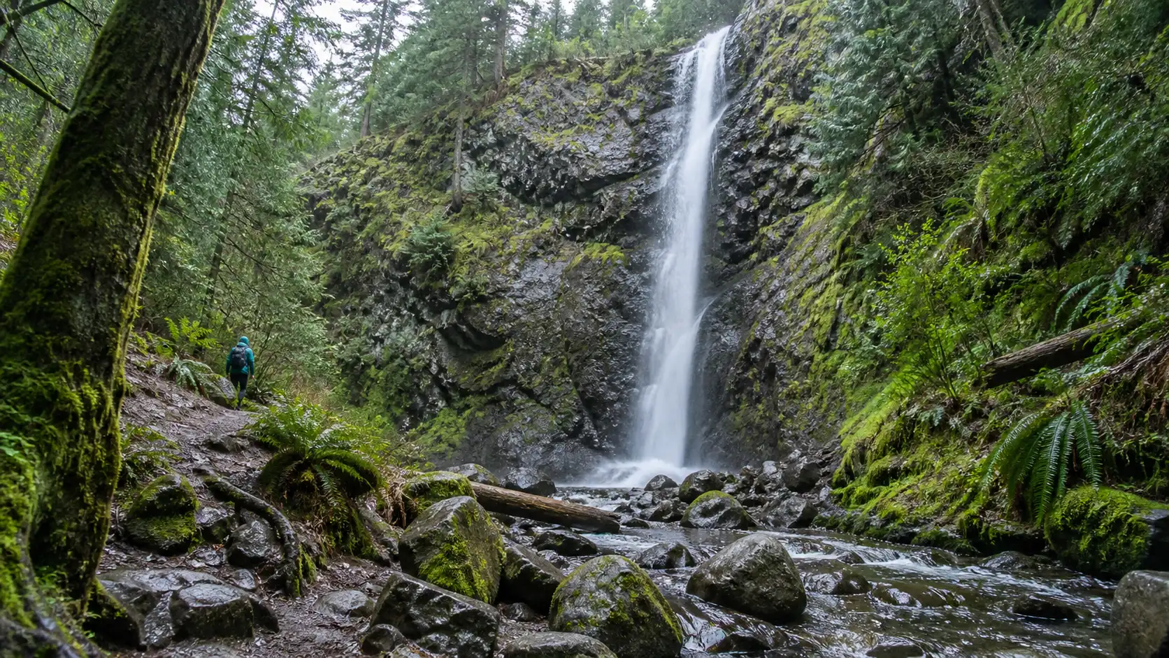
Ammonite Falls
Ammonite Falls near Nanaimo shows why current checks beat evergreen listicles. The Regional District of Nanaimo posted an indefinite closure of the ravine section from the Weigles Road route in December 2025 after a fallen tree damaged stairs.
The district specifically said the falls could not be accessed from that parking lot while the closure remained. Check the current RDN parks and trails alerts before considering any alternate signed approach, and obey barriers rather than following a crowd around them.
When officially accessible, this is a real hike rather than a roadside viewpoint. Expect forest trail, elevation change, and a return climb, then choose another managed park if weather or maintenance makes the route questionable.
Parksville and Qualicum Waterfalls
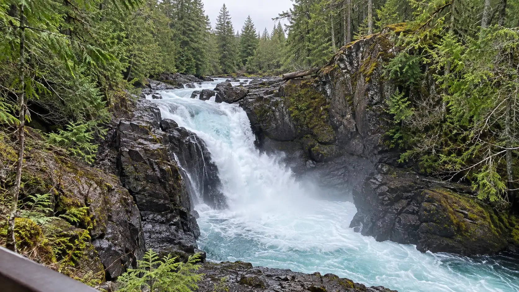
Englishman River Falls
Englishman River Falls Provincial Park offers upper and lower falls in a forested canyon, with roughly 1.9 miles of maintained park trails in total. Two river crossings provide elevated views, making this one of the strongest choices for a first waterfall day.
BC Parks permits swimming below the lower falls when levels are low, but there is no lifeguard and conditions decide whether it is sensible. Fishing is not allowed in the park, pets must be leashed, and signed trails protect both visitors and the canyon environment.
Check the official Englishman River Falls park information for advisories, campground operation, and maps. Pair the falls with Parksville or Qualicum Beach instead of squeezing them between distant ferry reservations.
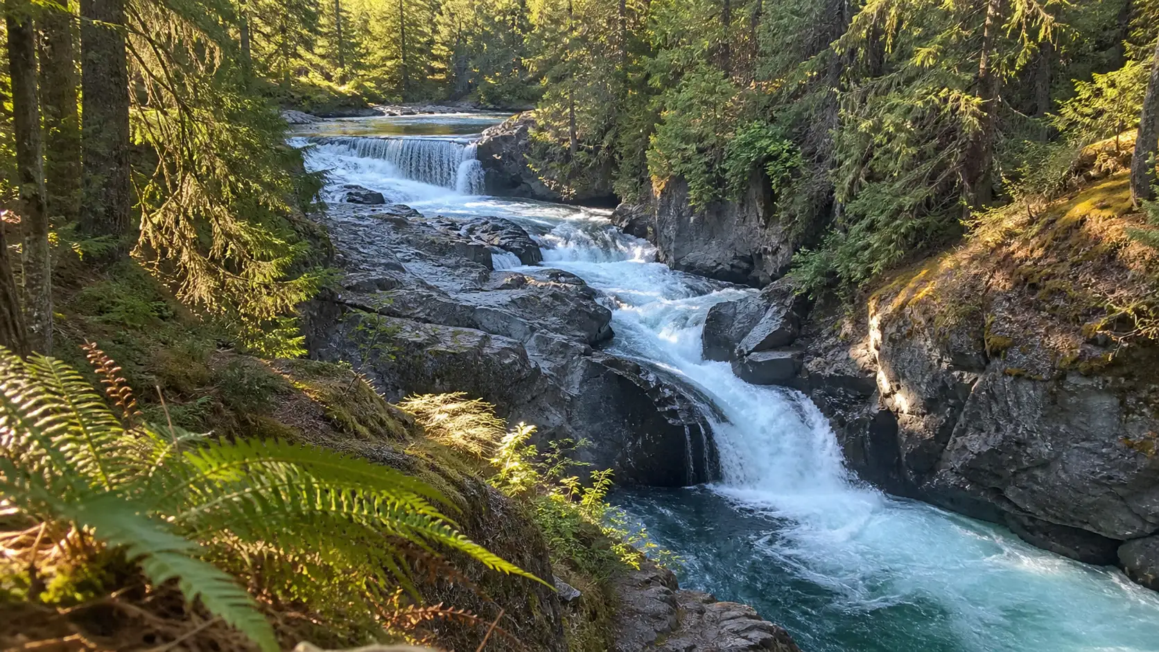
Little Qualicum Falls
Little Qualicum Falls has about 3.7 miles of walking trails, with a manageable loop from the day-use area to upper and lower waterfall views. The river is powerful, the banks can be slippery, and bridge or cliff jumping is prohibited.
This is the natural waterfall stop on a Highway 4 day toward Port Alberni, but it is worth more than a bathroom break. Use the Little Qualicum Falls park page for the current map and advisories, then leave time for the full loop if conditions cooperate.
Englishman and Little Qualicum can share a day because they sit in the same broad central-island region. Add Cathedral Grove only if parking, daylight, and current access still leave room to walk rather than collect pins.
Campbell River Waterfalls
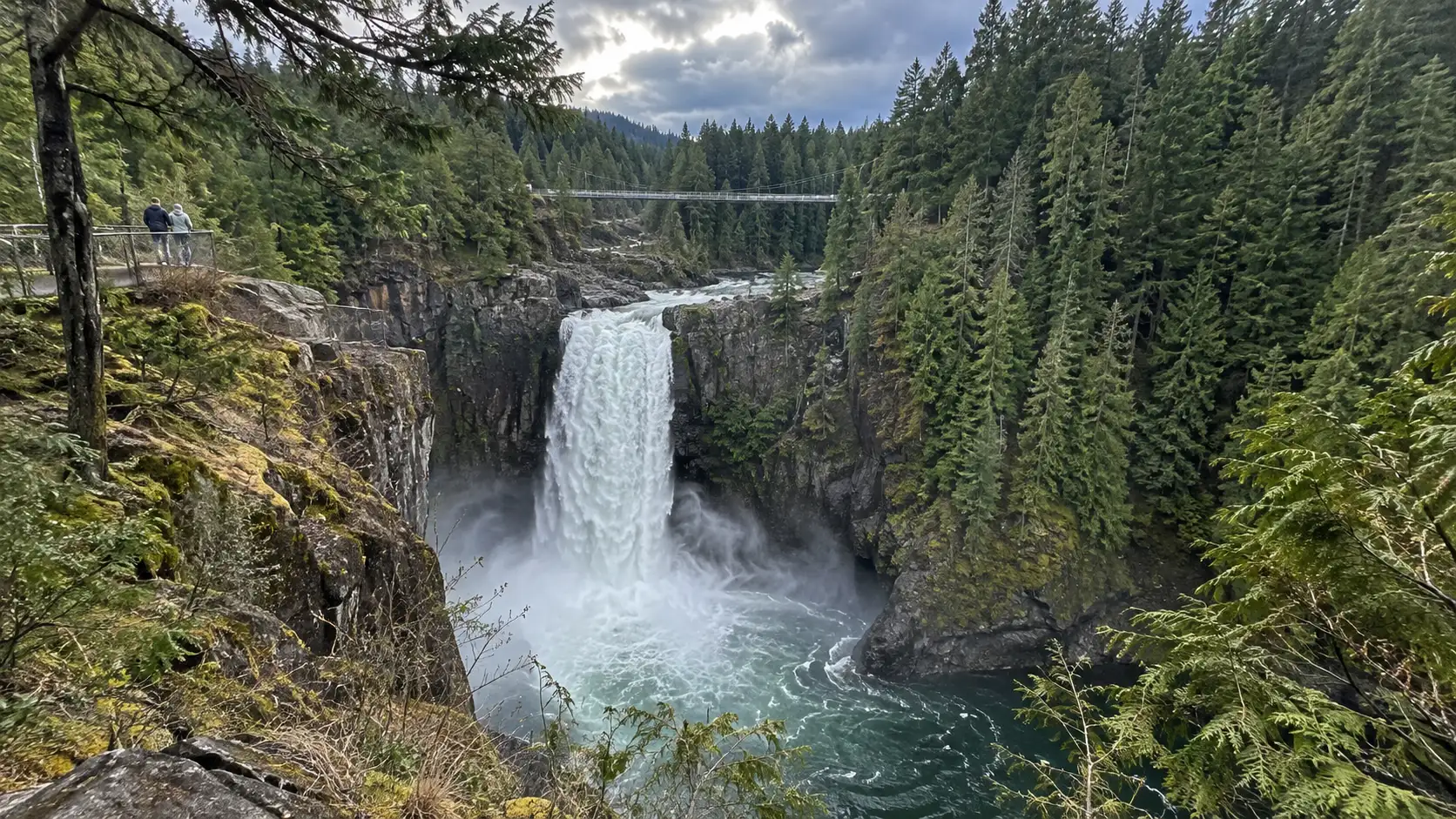
Elk Falls
Elk Falls is the best big-payoff stop near Campbell River for most visitors. BC Parks describes a 25-meter, roughly 82-foot drop, with walking trails from the day-use area and a suspension-bridge experience near the canyon.
Some visitors may find the stairs, bridge exposure, or uneven forest surface more challenging than the mileage suggests. Review the Elk Falls park page, stay on the constructed route, and do not let the desire for an uncrowded photograph push you past fencing.
Allow at least 90 minutes rather than wedging Elk Falls into the final hour before check-in. Hydro operations and rainfall can affect the river’s appearance, so no honest guide should promise a particular volume.
Strathcona Waterfalls for a Longer Day
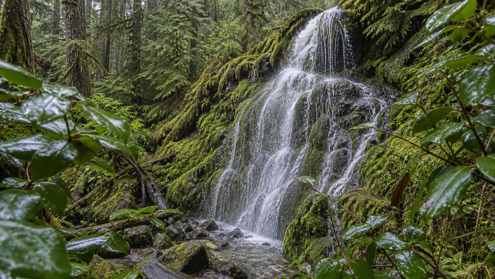
Lupin Falls
Lupin Falls is a short forest walk from the Buttle Lake corridor and an approachable introduction to Strathcona Provincial Park. It works well with lake viewpoints, but the drive from Campbell River and lack of services make it more than a casual city stop.
Fuel up before entering the park corridor, carry food and water, and download the map. BC Parks states that gas and services are not available between Campbell River and Gold River.
Lady Falls
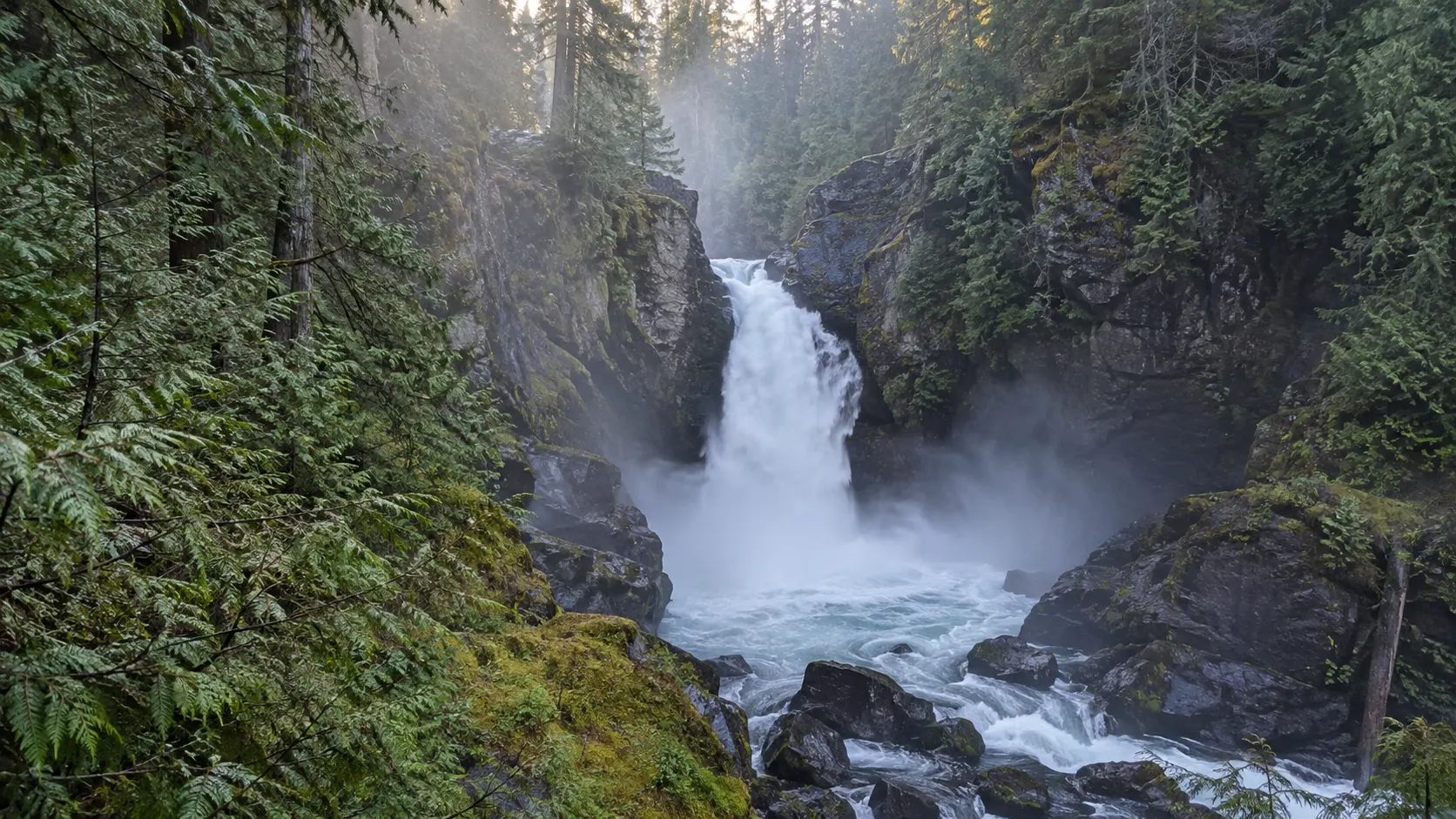
Lady Falls is another developed waterfall stop off Highway 28, usually chosen for a relatively short walk and viewing platform. Pairing it with Lupin Falls gives you a satisfying Strathcona day without committing to a backcountry route.
Short does not mean guaranteed easy. Fallen trees, snow, ice, wildfire response, or road work can alter access, so verify the current park advisory and highway report first.
Lower Myra Falls
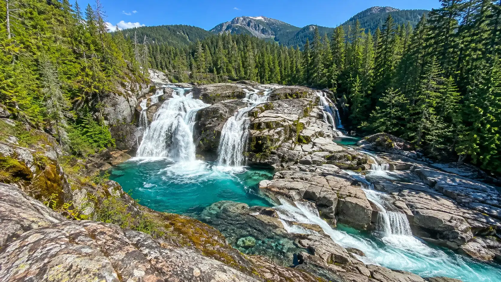
Lower Myra Falls sits much deeper along the Buttle Lake road in Strathcona-Westmin Park. BC Parks lists the route at about 0.6 mile one way with a 15-minute one-way estimate, but it also notes a steep section and directs visitors to viewing areas.
This is not a quick extension from Elk Falls because reaching the southern end of Buttle Lake consumes substantial drive time. Bring your own water, expect no potable supply at the park, and stay out of closed or operational mine areas.
Upper Myra Falls
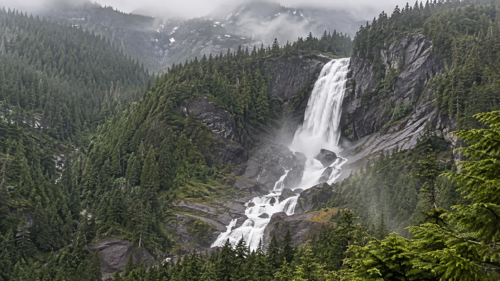
Upper Myra Falls requires more effort, with BC Parks listing about 1.9 miles one way, around 330 feet of elevation change, and a 1.5-hour one-way estimate. The path begins beyond the mine site, follows a gravel road section, and continues through old-growth forest.
Read the current Strathcona-Westmin park guidance before choosing between Upper and Lower Myra. Mine operations, road conditions, snow, and park advisories can matter more than the distance shown in a hiking app.
Della Falls Is an Expedition, Not a Roadside Stop
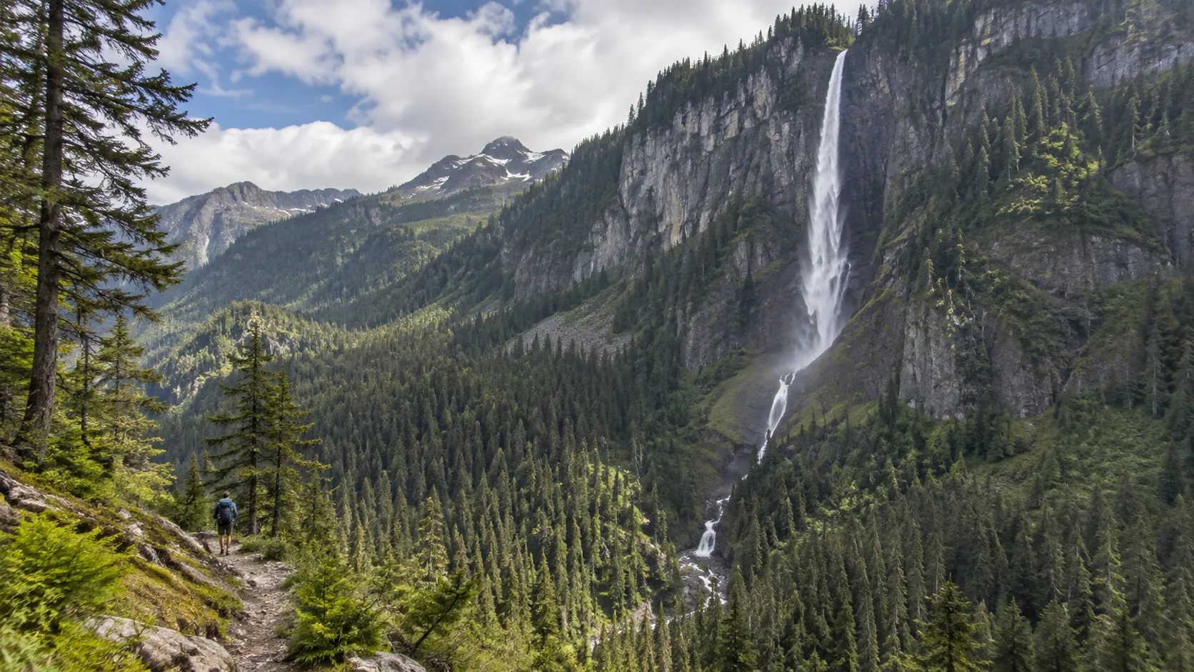
Della Falls lies in a remote part of Strathcona Provincial Park, and BC Parks describes access to its trailhead by boat at the northwest end of Great Central Lake. The park lists a 440-meter, roughly 1,444-foot total drop over three cascades.
This belongs in a separate backcountry plan involving boat transport, overnight gear, navigation, weather, permits or registrations where applicable, and a reliable return arrangement. Do not add it to a family day-trip list simply because a map places it near other island attractions.
A Realistic Seven-Day Waterfall Itinerary
- Day 1: Arrive in Victoria and sleep before driving far.
- Day 2: Visit Goldstream’s Niagara Falls and Goldstream Falls using the correct parking areas.
- Day 3: Stop at Stocking Creek, then continue to Nanaimo or Parksville.
- Day 4: Walk Englishman River Falls and Little Qualicum Falls.
- Day 5: Drive to Campbell River with an unhurried coastal stop.
- Day 6: Visit Elk Falls and keep the afternoon flexible.
- Day 7: Choose Lupin and Lady Falls, or commit the full day to one Myra Falls route.
Reverse the trip if your ferry or flight works better from Nanaimo or Comox, but keep the regional groupings. Driving back to Victoria after a deep Strathcona day is exactly the kind of “efficient” plan that stops being clever after dark.
When Waterfalls Look Their Best
Late fall through spring often brings stronger flow, along with shorter daylight, colder rain, debris, snow at elevation, and rougher roads. Summer usually makes travel easier, but smaller cascades can thin substantially and popular parks fill early.
There is no honest best month for every waterfall on the island. Choose the season for the trip you want, then accept that natural water volume is not a scheduled performance.
Waterfall Safety Without the Lecture
- Stay behind railings and on signed trails.
- Never jump from bridges or cliffs.
- Do not enter fast water above or below a fall.
- Keep children close near canyon edges.
- Turn around for floodwater, damaged bridges, ice, or closure signs.
- Carry out every snack wrapper and tissue.
- Leave drones grounded where park rules prohibit them.
If the weather wins, turn the day into a scenic drive, cafe stop, or lower-risk forest walk. You can pair the photographs later with one of these waterfall captions and verified quotes, but the best story is still making the safe call.
Which Vancouver Island Waterfall Should You Choose?
Choose Elk Falls for a dramatic first visit, Englishman River Falls for a polished central-island loop, and Little Qualicum for a Highway 4 stop. Choose Lupin and Lady Falls for an easier Strathcona sampler, then choose Myra only when the long drive and current conditions fit.
For a bigger international wish list, compare the island with these waterfalls worth traveling for. Vancouver Island’s real strength is not one record-holder but the chance to connect rainforest, river canyon, coast, and mountain park in one careful trip.