Armenia Nature: 14 Beautiful Places and How to Plan the Route
Armenia fits alpine lakes, volcanic peaks, forest trails, basalt gorges, and dry red-rock valleys into a country smaller than Maryland. The scenery is wonderfully concentrated, but the mountain roads and elevation make a pin-covered map much more ambitious than it looks, so plan in regional loops and leave the cape at home.
How to plan an Armenia nature trip
Yerevan is the practical gateway and the best base for Mount Aragats, Garni Gorge, and several day trips. For a deeper nature itinerary, add overnight bases around Dilijan or Lake Sevan in the northeast, Debed Canyon in Lori, and Vayots Dzor or southern Syunik.
Seven days suits Yerevan plus one regional loop, while 10 to 14 days makes room for the northeast and south without turning every scenic stop into a parking-lot cameo. Armenia is compact, yet a two-lane mountain road has never cared what the mileage estimate promised.
International travelers commonly arrive at Zvartnots International Airport near Yerevan, while Shirak International Airport serves Gyumri. Confirm passport and visa rules on the national tourism board’s official entry-planning page, since eligibility depends on nationality and status.
Nature near Yerevan and central Armenia
1. Garni Gorge and the Symphony of Stones
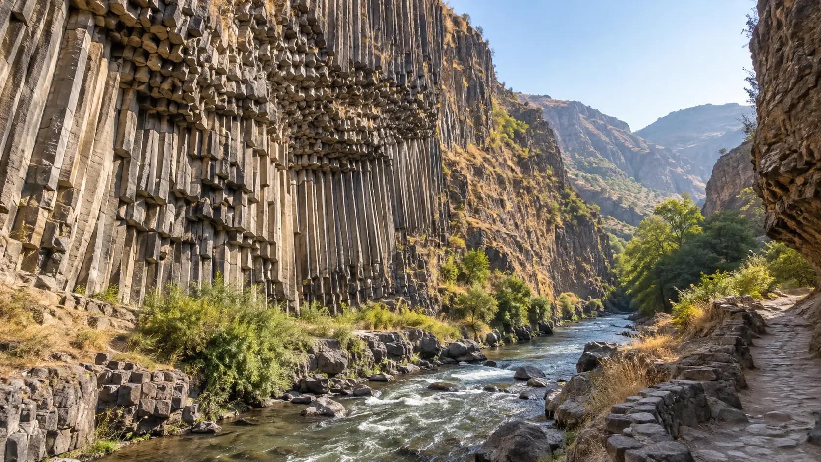
Below Garni village, the Azat River has cut through a gorge lined with tall, angular basalt columns known as the Symphony of Stones. Pair the gorge with Garni Temple and Geghard Monastery for a day that connects geology, landscape, and human history rather than treating them as competing attractions.
The route into the gorge involves uneven ground and can be hot in summer, so carry water and wear shoes with grip. Geghard and the Upper Azat Valley form a UNESCO World Heritage property, but that designation should not be casually applied to every basalt column nearby.
2. Mount Aragats and Lake Kari
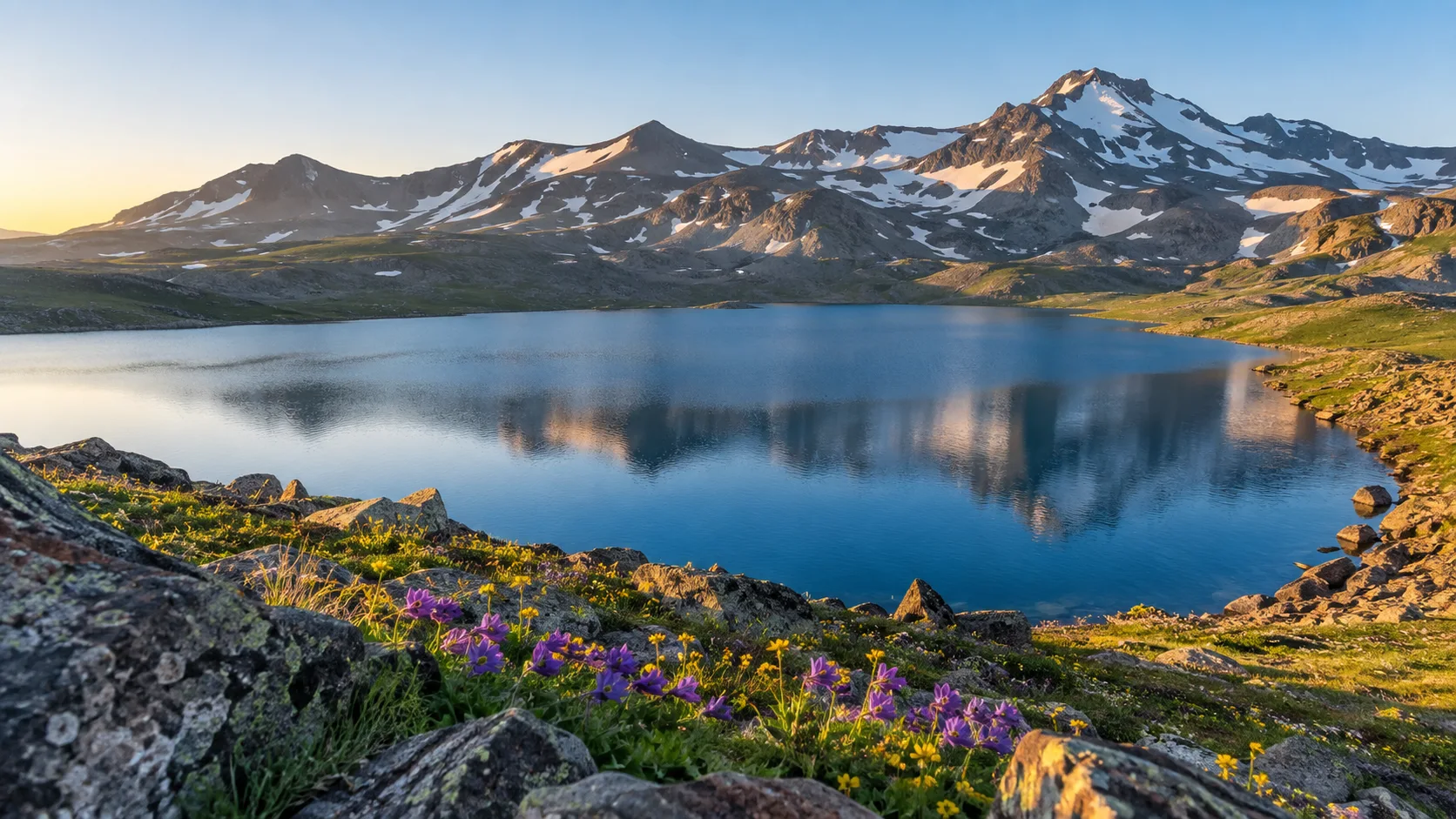
Four-peaked Mount Aragats reaches roughly 13,420 feet at its northern summit, making it Armenia’s highest mountain. Lake Kari sits at about 10,500 feet on the southern slope and provides high-country scenery without requiring a summit attempt.
The southern peak is the most approachable of the four, while the northern and eastern routes demand much stronger mountain skills and judgment. Even at Lake Kari, cold, wind, sun, snow, and altitude deserve real layers and an early start rather than optimism in fashionable sneakers.
Road and trail access are seasonal, and hikers should check conditions with a qualified local operator before setting out. If big landscapes are driving your plans, compare Aragats with the very different terrain in this collection of beautiful hikes around the world.
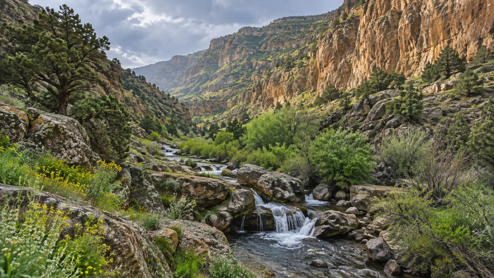
3. Khosrov Forest State Reserve
Khosrov protects dry mountain ecosystems, juniper woodland, rivers, cliffs, and habitat for rare wildlife southeast of Yerevan. It is a state reserve, not an open urban park, so arrange any visit through the reserve’s current authorized process and follow access restrictions.
A guide is useful for both route finding and understanding why sensitive habitat is managed so carefully. Wildlife sightings are possible but never owed, especially when the hoped-for animal is famously good at avoiding people.
Northeast Armenia: lakes and forest
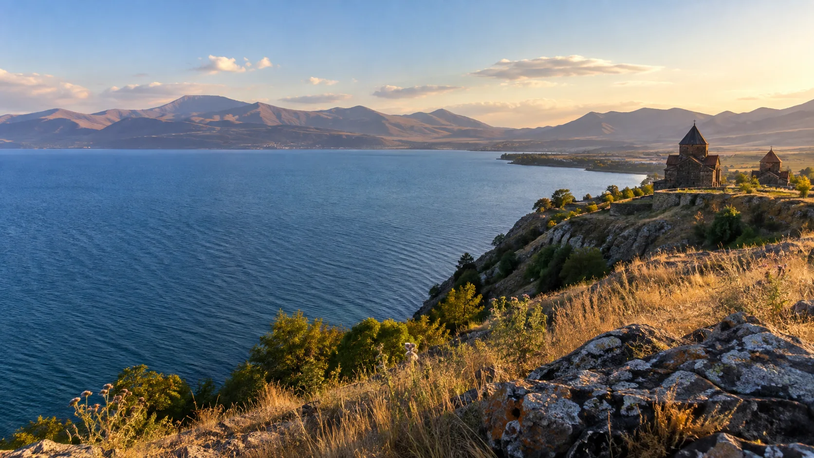
4. Lake Sevan
Lake Sevan is Armenia’s largest lake and lies about 6,230 feet above sea level, with open water, broad mountain views, and distinct communities around its long shore. Sevanavank is the familiar cultural viewpoint, but quieter beaches and walking areas require more travel than the classic peninsula stop.
Swimming is mainly a summer activity, and the water can still feel brisk when Yerevan is baking. Check local beach conditions, weather, and water activities through the national tourism board’s Lake Sevan planning information, then choose a maintained access point instead of improvising along the shore.
A day trip from Yerevan works for Sevanavank and one lakeside stop, while an overnight creates time for sunrise, a less hurried meal, or a route onward to Dilijan. Do not walk onto winter ice unless a competent local authority or operator has specifically confirmed that the activity is open and safe.
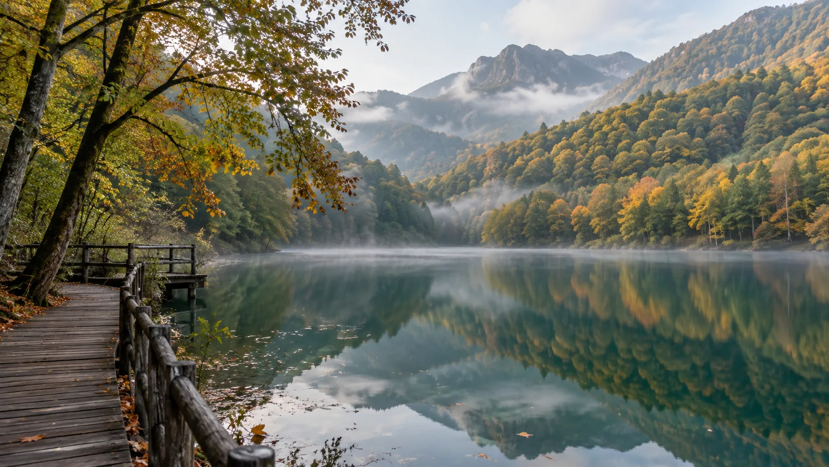
5. Dilijan National Park and Lake Parz
Dilijan is the easiest forest base to add to a first Armenia trip, with wooded hills, monastery walks, and access to Lake Parz and Lake Gosh. The town is useful for lodging and food, while the national park supplies the quieter trails and beech-oak scenery people have actually come to see.
Lake Parz is the more accessible recreational stop, and Lake Gosh feels more remote, so they should not be sold as identical blue dots. Trail surfaces can be muddy after rain, signage and cell service vary, and a downloaded route is worth more than a dramatic last-minute hunch.
Haghartsin and Goshavank monasteries fit naturally into this loop, particularly for travelers who prefer moderate walking to summit days. For a broader sense of what protected landscapes offer, browse these striking national parks while remembering that Armenian park services and access systems are locally specific.
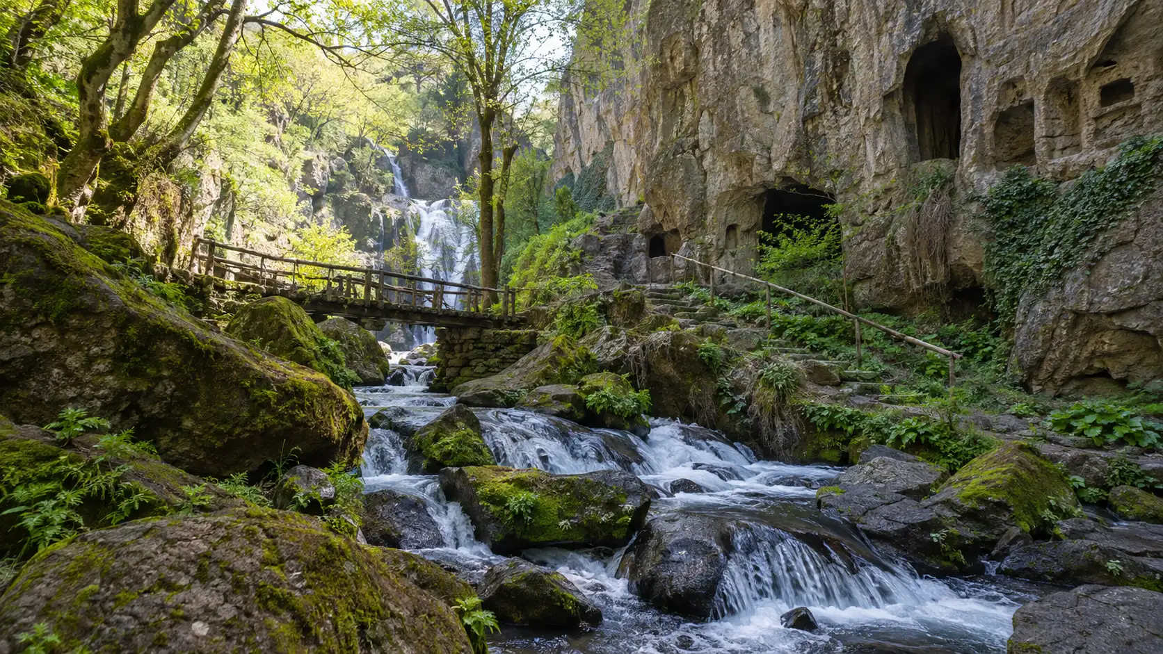
6. Lastiver and the Khachaghbyur River
Near Yenokavan, the Lastiver area combines a forest trail, caves, a rocky river gorge, and waterfalls. The hike has roots, slopes, and damp sections, so treat it as an outing rather than a decorative detour between restaurant reservations.
Use established paths and verify the current trailhead, parking, fee, and weather situation locally. Spring runoff can strengthen waterfalls while also making footing messier, and autumn color can draw more weekend visitors.
Northern Armenia: canyons and high wetlands
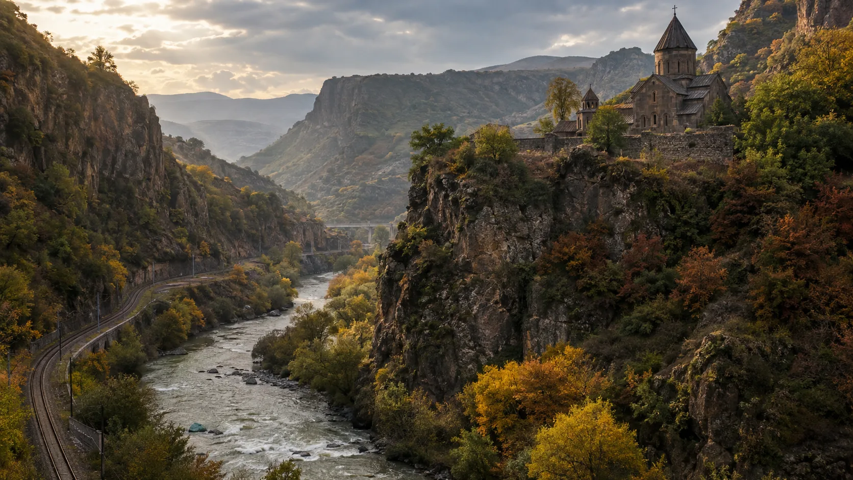
7. Debed Canyon
The Debed River corridor cuts through northern Lori, linking steep green slopes, villages, industrial towns, and historic monastery complexes. Haghpat and Sanahin are the major cultural anchors, while viewpoints, short walks, and seasonal rafting reveal the canyon itself.
Choose a reputable operator for river activities and confirm water levels, minimum age, equipment, and cancellation rules. A car or driver makes it much easier to combine scattered sites, but allow for road work and slow traffic through settlements.
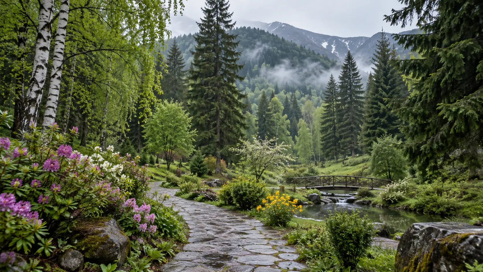
8. Dendropark and Lori’s forest country
Near Stepanavan, the Sochut Dendropark is a cultivated botanical landscape rather than untouched wilderness. Its mature trees and cool woodland walks make a gentle counterpoint to strenuous hikes, especially for families or travelers easing into a longer northern route.
Combine it with an overnight in Lori rather than driving from Yerevan solely for one garden stroll. Hours and services can be seasonal, so verify them before committing the day.
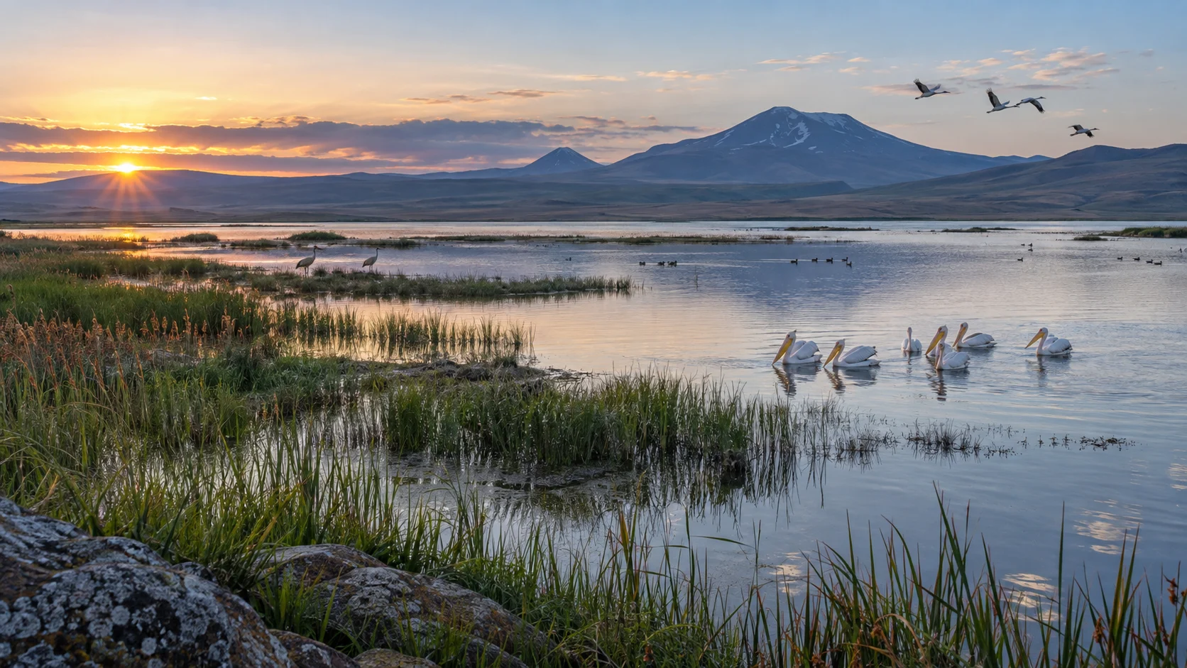
9. Lake Arpi National Park
Near the Georgian border in Armenia’s northwest, Lake Arpi National Park protects lake, wetland, grassland, and important bird habitat. Its distance from Yerevan and limited visitor infrastructure make it better for patient naturalists than travelers seeking a quick scenic lunch stop.
Go with local guidance, bring food and weather protection, and keep well back from nesting or feeding birds. Spring and fall migration can increase bird activity, but species and viewing conditions cannot be scheduled like a museum ticket.
Southern Armenia: gorges, mineral springs, and highlands
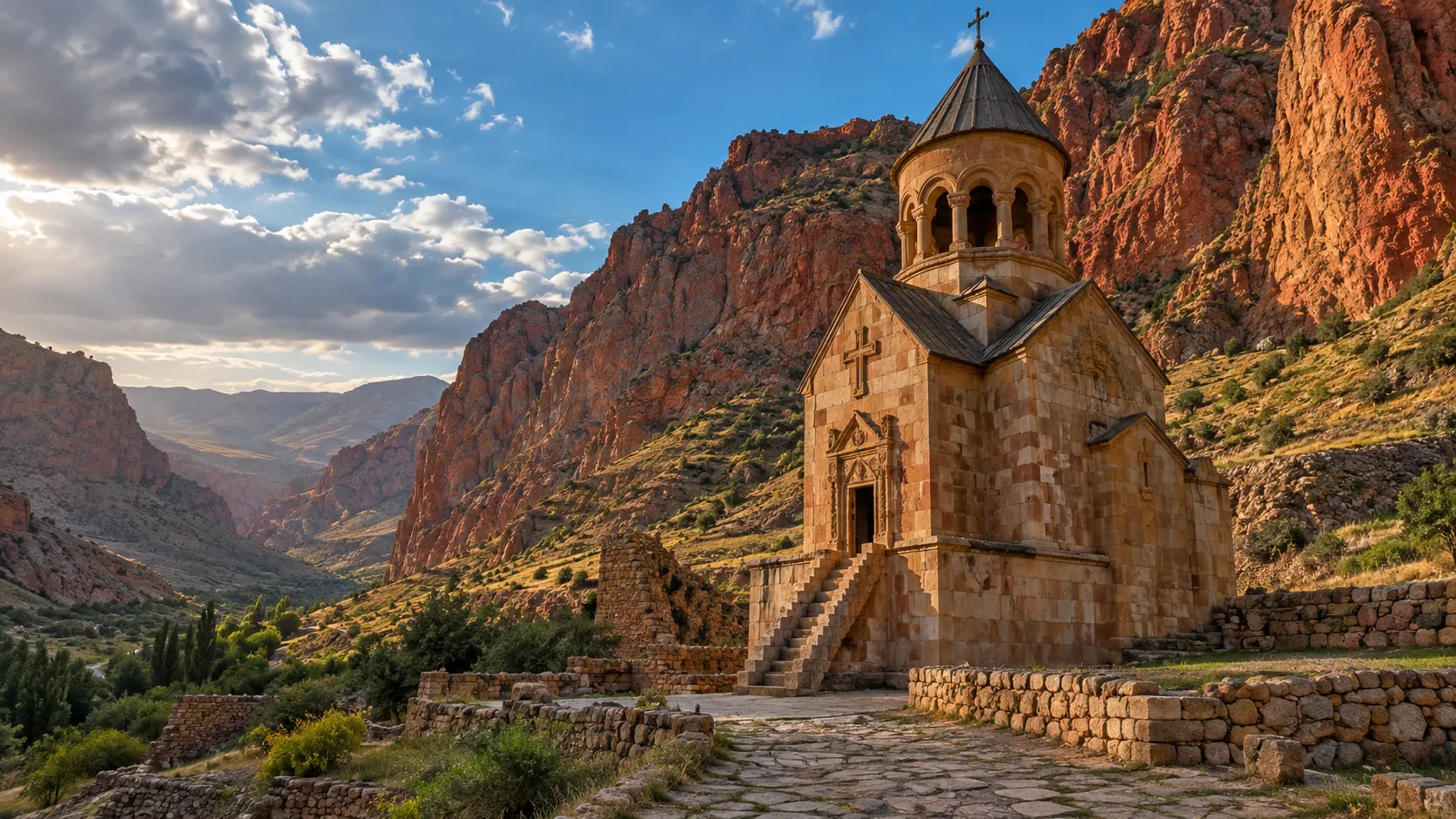
10. Noravank and the Amaghu Gorge
The road to Noravank runs through a narrow, rust-colored gorge before reaching the monastery beneath layered cliffs. This Vayots Dzor landscape is an easy visual reward on the route south, yet stopping at signed pullouts is far safer than discovering photography through abrupt braking.
Nearby Areni makes the area practical for an overnight focused on local food, wine, and canyon scenery. Keep alcohol tasting separate from driving, and start outdoor walks early during hot summer weather.
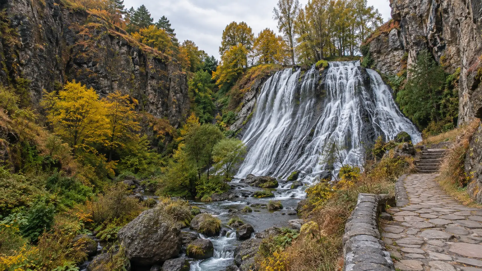
11. Jermuk Gorge and waterfall
Jermuk is a highland spa town set among forested slopes, a deep gorge, mineral-water sites, and a long waterfall. It offers cooler air and easier walks than many southern hikes, although gorge paths can still be slippery or icy according to season.
Stay overnight if rest is part of the goal, since racing back to Yerevan undercuts the entire spa-town concept. Waterfall volume and access vary with weather, maintenance, and freezing conditions, so confirm the local situation.
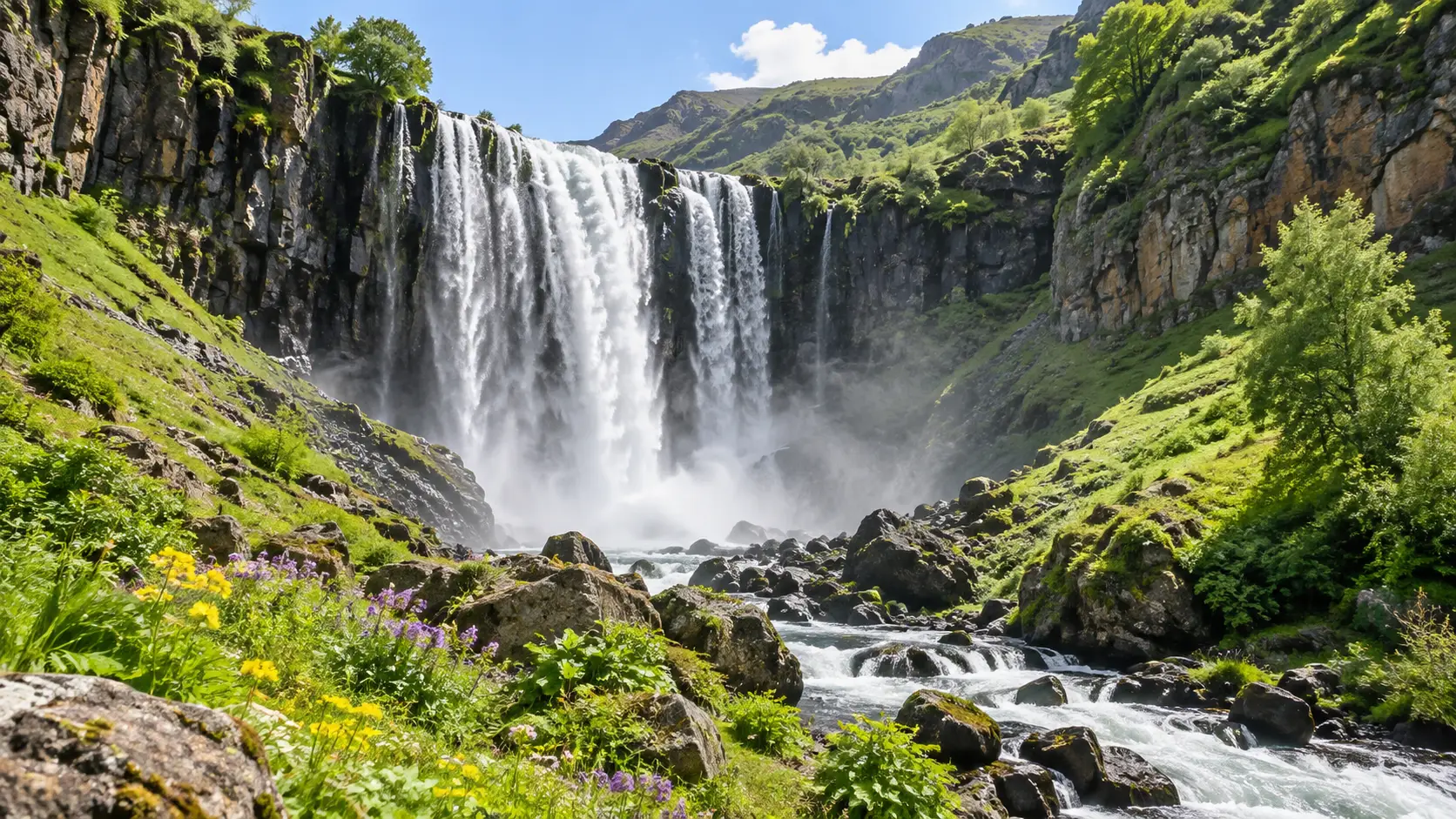
12. Shaki Waterfall
Shaki Waterfall drops over dark basalt outside Sisian and fits a southern road trip between Vayots Dzor and the Goris area. Water flow has varied, so ask locally about current operating conditions rather than building the day around an old photograph.
The path from the parking area is short but uneven, and spray can make rocks slick. This is one waterfall among many worth planning around carefully, including the destinations in our world waterfall roundup.
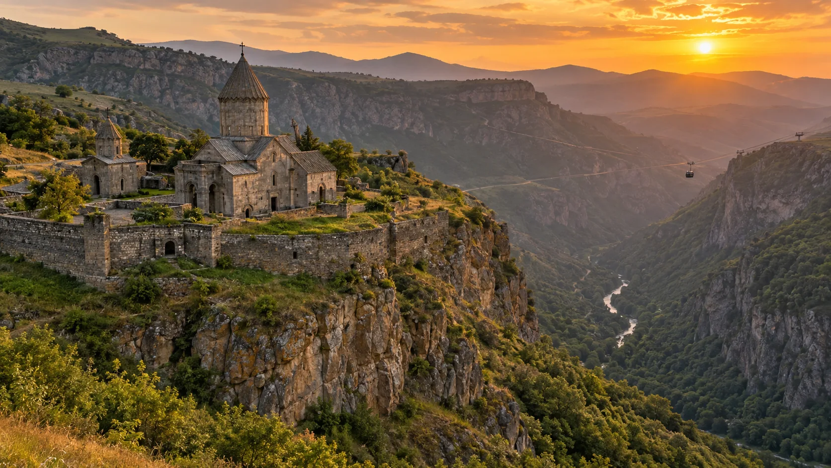
13. Tatev and the Vorotan Gorge
Tatev Monastery stands above the Vorotan Gorge, where high plateaus break into deep, folded terrain. The cableway offers a spectacular approach when operating, while the road and nearby trails reward travelers who devote more than a rushed photo stop.
Weather and maintenance can interrupt transport, so check the cableway’s own schedule and retain a road-based backup. Tatev works best with at least two nights in the Goris area, not as a heroic out-and-back from Yerevan.
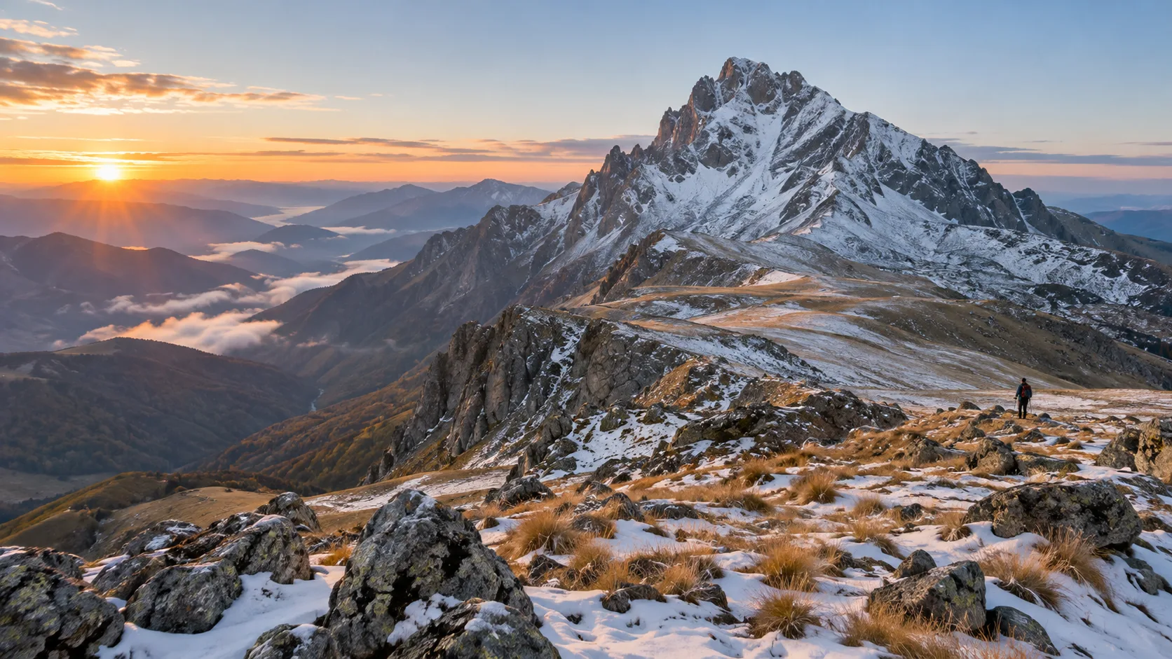
14. Mount Khustup and Syunik’s high country
Mount Khustup rises above Kapan and appeals to experienced hikers seeking a demanding southern mountain route. A local guide, suitable vehicle plan, navigation, sufficient water, and realistic fitness assessment are essential because the terrain is remote and exposed.
Border security must shape the route in Syunik, not merely appear in fine print after booking. The current U.S. advisory permits many established destinations but identifies specific eastern and southern border areas where U.S. government personnel face travel restrictions.
Protected areas and responsible access
Armenia’s Environment Ministry lists three state reserves, four national parks, 27 state sanctuaries, and 232 natural monuments. The official protected-area overview distinguishes these categories, which matter because a strict reserve does not operate like a picnic park.
- Use marked routes and obey gates, permits, seasonal closures, and guide requirements.
- Carry out every scrap of trash, including tissues and fruit peels.
- Do not pick wildflowers, remove rocks, fly a drone without permission, or disturb wildlife.
- Ask before crossing pasture, farmland, or village property.
- Use established toilets and campsites whenever they are available.
Best time for Armenia’s nature
Late spring brings green valleys and wildflowers, but mud, rain, and snow can linger at elevation. June through August provides the broadest high-mountain access, while Yerevan and lower dry valleys may be very hot at midday.
September and early October often suit hiking, road trips, and fall color, with cooler nights and less dependable high-country weather as autumn advances. Winter favors snowy resort areas and cultural travel, but many mountain roads, trails, and rural services become limited.
Elevation creates several seasons within one day, so check forecasts for the destination rather than Yerevan alone. Thunder, wind, fog, or lingering snow can turn a friendly trail into a very different proposition.
Driving, tours, and public transportation
Yerevan has public transportation and ride-hailing, while intercity minibuses connect many towns. Reaching trailheads, lakes, and scattered viewpoints usually works better with a rental car, private driver, or small organized tour, as summarized by Armenia’s official transportation guidance.
Drivers should expect variable pavement, livestock, unlit stretches, mountain weather, and slower travel than the map suggests. Avoid night driving outside towns when possible, carry offline maps, and refuel before remote sections.
Two realistic Armenia nature routes
Seven days: Yerevan, Sevan, and Dilijan
Spend two or three nights in Yerevan, use one day for Garni Gorge and Geghard, then travel via Lake Sevan to Dilijan for two or three nights. Add Aragats only if seasonal access and your flight timing leave a full, flexible day.
Twelve days: northeast and south
Begin with Yerevan and Aragats, continue to Sevan and Dilijan, then return through the capital before heading to Areni, Jermuk or Goris, and Tatev. This route still needs long driving days, and dropping one base is wiser than borrowing time from every stop.
Safety and border-area checks
As checked September 4, 2026, the U.S. Department of State rates Armenia Level 2 and says not to travel to the border region with Azerbaijan due to potential armed conflict. Its current Armenia advisory identifies restricted areas east of Vardenis and Goris and south of Kapan, while noting that routes can approach or cross borders without warning.
Check your own government’s advice, ask lodging or operators about the exact road, and do not assume a route is safe because a navigation app offers it. Conditions can change faster than an article, particularly near international boundaries.
What to pack
- Broken-in hiking shoes with reliable grip
- Lightweight rain shell and warm insulating layer
- Sun hat, sunglasses, and high-SPF sunscreen
- Refillable water bottle and trail snacks
- Offline maps, power bank, and paper booking details
- Small first-aid kit and any personal medication
- Modest layer for monasteries and village visits
- Swimsuit and quick-drying towel for a summer lake itinerary
Armenia’s best nature trip is not the one that touches every province. Choose one forest-and-lake loop and one highland or canyon region, then leave enough room for weather, roadside fruit, and the occasional mountain that refuses to be hurried.