Lake Superior Kayaking: Routes, Cold Water and Safety Planning
Lake Superior kayaking is coastal paddling on inland water, not a bigger version of a calm-lake rental. Choose the shoreline and route class first, then match the craft, immersion gear, rescue skills, marine forecast, permits, and turnaround plan to the consequences of that exact water.
Decide Whether You Need a Guide
Most first-time Lake Superior paddlers should book a guided half-day trip in a sheltered area. A guide supplies local judgment and group structure, but you still need to disclose swimming ability, mobility, medical needs, and paddling experience honestly.
Independent coastal paddling is for people who can launch and land in conditions, perform assisted and solo rescues, manage a flooded boat, navigate without cell service, and make an early no-go decision. A successful inland-lake rental does not establish those skills.
If your goal is a photograph inside a sea cave, choose an operator that is willing to keep you outside when conditions are wrong. The strongest safety signal is a clear cancellation and rerouting policy, not a promise that every tour reaches the advertised feature.
Use a Real Sea Kayak on Open Lake Superior
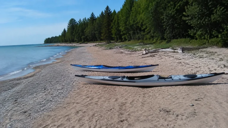
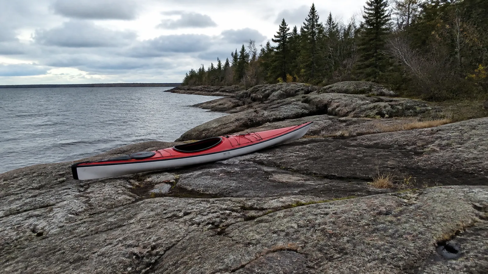
Pictured Rocks National Lakeshore says sea kayaks are the only kayaks equipped for Lake Superior. Its official kayaking guidance describes them as roughly 14.5 to 18 feet long with a covered deck, spray-skirt-compatible cockpit, and bulkheads that limit flooding.
Short recreational kayaks and open canoes belong on sheltered inland water, not exposed Superior shoreline. A sit-on-top may be easy to remount in warm water, but that does not solve cold immersion, wind, waves, distance, or lack of landing sites.
A tandem sea kayak can add stability and keep a less-experienced paddler paired with a stronger partner on a commercial tour. It does not make two untrained people self-rescuing coastal paddlers.
Inspect hatches, perimeter deck lines, foot braces, spray skirt, paddle, spare paddle, pump, paddle float, tow system, whistle, lights, and communication equipment before launch. Rental availability is not proof that a boat is appropriate for your proposed route.
Treat the Water as Cold in Every Month
At Apostle Islands, the National Park Service reports average water temperatures in the 40s during May and June and says late-summer surface temperatures rarely exceed 60°F. The park’s kayaking safety page also notes that ordinary winds and waves can vary enough to transform the trip.
Dress for immersion rather than the air temperature on shore. A wetsuit or dry suit choice depends on water temperature, air temperature, route exposure, rescue time, and operator protocol, so a hot beach is not a reason to leave thermal protection behind.
A dry suit only works with suitable insulating layers and intact seals. Cotton chills when wet, while sunscreen and a windbreaker cannot protect a capsized paddler from cold shock.
Know the signs of cold stress and get a swimmer out of the water quickly without creating another victim. The plan must include dry clothing, shelter, communication, and evacuation, not merely an intention to paddle harder.
Wear the Correct Life Jacket
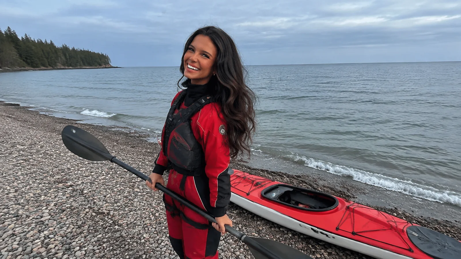
Wear an activity-appropriate, correctly fitted personal flotation device for the entire time on the water. The U.S. Coast Guard guidance explains that a recreational vessel must carry an approved wearable PFD for each person and that federal child rules apply, with state requirements potentially stricter.
A jacket stored behind a seat is nearly useless during a sudden capsize. Fit-test each adult and child, read the label, and make sure the jacket cannot ride above the chin or ears.
Inflatable life jackets require maintenance and are not appropriate for every user or paddling environment. Ask the outfitter what it provides and confirm that your own equipment meets the rules in the state, province, park, or marine area where you launch.
Read the Marine Forecast by Zone
A town forecast does not tell you the wind and waves several miles along an exposed shore. Use the National Weather Service Lake Superior marine zones, Canadian marine forecasts where applicable, real observations, radar, and park-specific conditions.
Check the issue time, zone boundaries, wind direction, wave height, gusts, thunderstorms, fog, water temperature, and any Small Craft Advisory or Special Marine Warning. A point forecast is useful context, but paddlers must understand the larger zone and the route’s fetch.
Wind direction changes the answer because an offshore breeze can push paddlers away from land, while an onshore wind can build surf at the landing. Cliff rebound and confused waves may be worse than the open-lake number suggests.
Set conservative limits before launch and share them with the group. Rechecking conditions at the beach is mandatory, and turning around ten minutes into a trip is better judgment than continuing because parking and lodging were expensive.
Choose the Right Lake Superior Region
Choose a trip with a defined start and finish
- Example: Protected instruction: Grand Marais Harbor
- Plan: Arrange a guided lesson launching from the public harbor beach; stay inside the harbor and return to the same beach, typically 1 to 2 hours with a deliberately short route.
- Who it suits: First-timers, when the instructor confirms sheltered conditions; do not continue around the breakwater onto the open lake.
- Example: Coastal caves: Meyers Beach, Wisconsin
- Plan: Launch at the NPS beach and paddle northeast toward the first mainland caves, then back; roughly 4 miles and 2 to 3 hours paddling.
- Who it suits: A guided first sea-kayak tour or skilled independent paddlers, with cliff exposure and few landings.
- Example: Island crossing: Little Sand Bay to Sand Island
- Plan: Return to Little Sand Bay after a selected island landing and shoreline visit; tours commonly total 8 to 9 miles and take most of a day.
- Who it suits: Fit paddlers with a qualified guide or independent crossing and rescue experience; carry contingency supplies for a delayed return.
Check the NPS launch directions before driving to Meyers Beach or Little Sand Bay, and compare the published commitment for a Sand Island day trip. Distances are approximate route examples, and an actual itinerary must identify permitted landings, forecast zones, and a fallback before launch.
I would start with harbor instruction if you have never practiced rescues, then book the mainland caves on another suitable day. For an actual expedition, plan the outer Apostles over several days with reserved camps and weather days; a chain of island names is not enough to size those exposed crossings.
Pictured Rocks, Michigan
Pictured Rocks delivers tall cliffs, arches, waterfalls, and striking sandstone color, but much of the cliff section offers few easy exits. Beginners should use a reputable guided sea-kayak trip or choose the park’s inland lakes when the open lake is unsuitable.
Do not confuse a boat-supported kayak tour with a beach-launched expedition. Compare time actually paddling, launch method, vessel exposure, guide qualifications, thermal gear, participant minimums, and what happens when weather cancels the cliff route.
Miner’s Beach, Sand Point, and other launches serve different route ideas and conditions. Parking at the nearest named beach does not create a safe path through the entire cliff zone.
Apostle Islands, Wisconsin
The mainland sea caves, Sand Island, and the outer islands are different paddles. The mainland route can still bring cold water, rockfall, cave rebound, congestion, and exposure, while island crossings add navigation, boat traffic, distance, and far fewer retreat options.
Our Apostle Islands route planner separates those choices in detail. Use Meyers Beach conditions for a Meyers Beach plan, not as a universal verdict on every island or shore.
Sea-cave entry is optional even when you reach the cliffs. Stay outside when waves, surge, darkness, falling material, limited control, or traffic make the opening questionable.
Minnesota’s North Shore
Duluth, Two Harbors, protected harbor areas, and selected North Shore bays can support shorter guided or experienced independent paddles. The rocky shoreline, cold water, commercial traffic near ports, and long stretches without friendly landings still require coastal planning.
Do not paddle close to ore docks, shipping lanes, breakwaters, or harbor entrances without understanding navigation rules and local restrictions. A freighter’s scale and stopping distance are difficult to judge from kayak height.
Isle Royale, Michigan
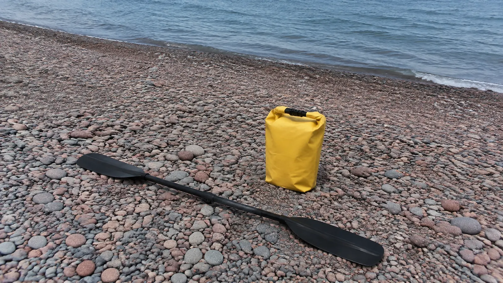
Isle Royale is a remote national-park expedition, not an ambitious day trip from the mainland. Transporting a kayak, securing permits, carrying food safely, managing crossings, and planning emergency communication require direct confirmation with the park and carrier.
Protected island channels can look forgiving on a map while exposed headlands and crossings remain serious. Independent paddlers need expedition experience, navigation skills, redundant equipment, and weather days.
Ontario’s North Shore
Lake Superior National Marine Conservation Area includes more protected options around places such as Rossport as well as committing island routes. Parks Canada recommends that paddlers of all skill levels seek an experienced guide for its bays, coves, islands, and wetlands on the official kayak overview.
Pukaskwa National Park’s Coastal Paddling Route is closer to ocean expedition travel and demands technical knowledge and skill. Canadian equipment, camping, fishing, customs, and park rules are separate from U.S. requirements, even though the water is the same lake.
Do Not Enter a Cave Because Others Did
Another group disappearing into a cave proves only that they made a choice. Their craft, guide, training, risk tolerance, and view of conditions may differ from yours.
Rockfall can occur without warning, while waves reflect from cave walls and reduce maneuvering space. Keep distance from cliffs when the lake is active and never hold onto fragile rock, vegetation, cultural resources, or another group’s boat to force an entry.
One-way cave passages need a clear exit and enough spacing to avoid collisions. Helmets, when provided by an operator, address only part of the risk and do not turn rough water into safe water.
Practice Rescue Before the Vacation
Learn wet exits, spray-skirt release, T-rescues, self-rescue, towing, and group communication in controlled water before planning the coastline. A tutorial delivered on the sand is not the same as performing the skill while cold, winded, and surprised.
Every paddler should understand the float plan, route, bailouts, signals, leader, turnaround limits, and what happens after separation. Keep the group close enough to help, not spread across a scenic bay for individual photos.
Carry a waterproof VHF radio where appropriate, plus a backup communication method suited to coverage and remoteness. A phone in a sealed case is useful, but cliffs, islands, cold batteries, wet hands, and dead zones make it an incomplete emergency plan.
Build a Real Float Plan
Leave a shore contact with names, vessel descriptions, launch, route, destination, expected return, vehicle information, and the exact time to call for help. Then close the plan when safely off the water.
Carry a map and compass and know how to use them in fog. GPS is a supplement, and a downloaded route line cannot tell you whether a landing is passable under current surf.
Measure the route along the paddling line rather than between two pins. Add exploration, headlands, drift, detours, cave time, group pace, and the possibility that the return wind is worse.
Plan Launches, Landings and Parking
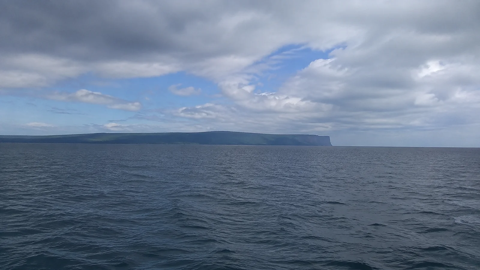
Confirm legal launch access, hours, entrance fees, parking, restrooms, overnight rules, and whether a shuttle is operating. Some beaches require carrying boats down stairs or across sand, while others have limited spaces that fill early.
Inspect the landing before departure and note safer alternatives. A gentle morning beach can develop dumping surf by afternoon, and cliff routes may offer no place to wait it out.
Never block an emergency lane or stage gear across a public access. Clean, drain, and dry boats and equipment according to current invasive-species rules before moving between waters.
Separate Day Paddles From Expeditions
- Introductory outing: A guided, sheltered paddle with a short duration and simple shore access.
- Coastal day trip: Trained group, sea kayaks, immersion protection, forecast window, practiced rescues, and several retreat options.
- Island crossing: Navigation, open-water group management, boat-traffic awareness, redundant communication, and a weather margin.
- Overnight coast: Permits, food storage, water treatment, Leave No Trace practice, landing knowledge, and contingency days.
- Remote expedition: Advanced rescue skills, repair kit, medical planning, evacuation strategy, and no dependence on cell service.
If the trip progresses beyond one region, our Great Lakes road-trip framework helps keep driving days separate from paddle days. Do not schedule an exposed tour immediately after a midnight arrival or before a nonrefundable long drive.
Know What a Guided Tour Should Answer
- What route is planned, and what sheltered substitute is used if conditions change?
- What guide training, first-aid qualification, permits, and guide-to-guest ratio apply?
- Are sea kayaks, spray skirts, PFDs, helmets, wetsuits, or dry suits included?
- What swimming, age, weight, mobility, and paddling requirements apply?
- Who cancels for weather, and what refund or rebooking policy follows?
- How are capsizes, medical issues, group separation, and evacuation handled?
A truthful operator may say that the destination depends on wind and waves. That uncertainty is exactly what responsible Lake Superior guiding should acknowledge.
Pack for the Water, Not the Parking Lot
- Properly fitted approved PFD worn from launch to landing
- Wetsuit or dry suit and insulation matched to conditions
- Secure sun protection, sunglasses retainer, and brimmed hat
- Water, food, essential medication, and a compact first-aid kit
- Dry bag with warm clothing and fire-starting tools where legal
- Whistle, waterproof light, VHF radio, and backup communication
- Paper chart or map, compass, repair kit, pump, paddle float, and spare paddle
Ask the tour company what not to bring, since loose cameras and open bags become entanglement or loss hazards. Secure the phone before moving water starts, and never stop paddling in a hazardous position for a photograph.
Keep a Shore-Based Backup Day
A cancellation does not waste the trip. Pictured Rocks, the Apostle Islands region, Duluth, and Ontario’s shore all offer hikes, overlooks, waterfalls, museums, commercial cruises, and beaches that keep visitors off exposed water.
Our Lake Superior lighthouse planner offers route-specific alternatives, but even lighthouse access can depend on boats, tours, or weather. Choose one drive-up option and one indoor option before departure.
My Bottom-Line Lake Superior Advice
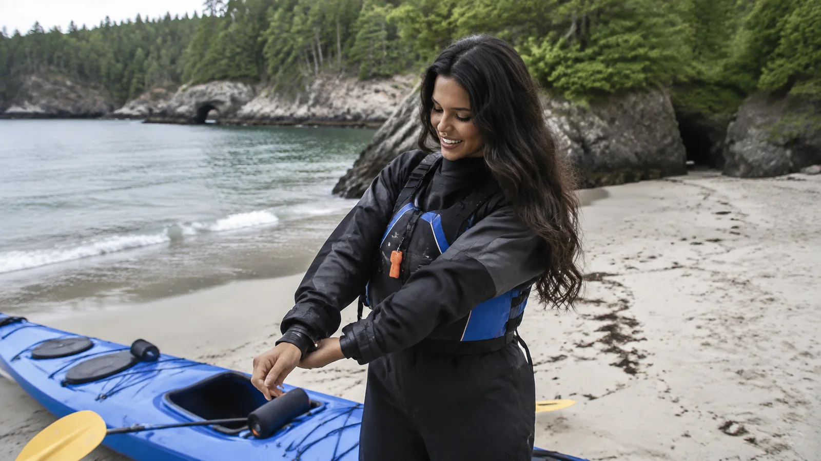
For a first trip, book a guided sea-kayak outing in a protected route class and leave a second day available for weather. For independent travel, prove your rescues and cold-water setup before the vacation, not in the first capsize below a cliff.
The lake does not owe anyone caves, islands, or a completed itinerary. A calm launch, conservative turn, and safe landing are the measures of a good day, even when the most famous view stays out of reach.