Fundy Coastal Drive: A Flexible 5-Day Road Trip
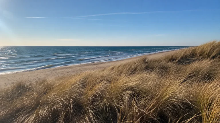
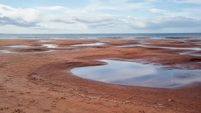
New Brunswick’s Fundy Coastal Drive is 286 miles of tidal coast, harbor cities, sea caves, cliff overlooks, forests, and villages. The mistake is treating those miles like an ordinary highway run, because one tide window, a coastal hike, or a foggy overlook can happily consume half a day.
Give the core route five days from St. Andrews to Moncton, or reverse it. Add islands, whale watching, or serious hiking only with extra nights.
Fundy Coastal Drive at a Glance
- Best trip length: Five to seven days
- Core direction: St. Andrews to Saint John, St. Martins, Alma, Hopewell Cape, and Moncton
- Official route length: About 286 miles
- Best for: Tides, coastal walks, seafood, geology, small towns, and scenic driving
- Main challenge: Matching outdoor stops to tides, weather, operating hours, and daylight
- Car needed: Yes for this itinerary
Tourism New Brunswick’s official route stretches roughly 460 kilometers, or 286 miles, along the Bay of Fundy. The named drive includes more territory than the five-day core below, so nobody needs to collect every road sign to have a complete trip.
How Many Days Do You Need?
Five days is my minimum for the classic mainland sequence without feeling punished by the map. Seven days gives weather flexibility and room for longer hikes, a whale-watching trip, or an extra night in Saint John or Alma.
Three days can cover Saint John, St. Martins, Fundy National Park, and Hopewell Rocks, but St. Andrews becomes an awkward addition. Cut a geographic end instead of shortening every stop until the trip feels like errands.
Grand Manan, Campobello Island, and the ferry to Digby are separate logistical choices. Each adds schedules, check-in deadlines, potential weather disruption, and at least one night if you want the detour to feel worthwhile.
Best Time for the Drive
Late spring through early fall offers the broadest access to parks, attractions, boat trips, restaurants, and accommodations. Exact seasons differ by operator, and some coastal businesses reduce hours well before the weather turns wintry.
July and August provide the fullest service and longest practical sightseeing days, along with higher demand. June and September can feel quieter, but cool rain, fog, and limited shoulder-season hours require more flexibility.
Fall color can be gorgeous inland while the coast stays windy and gray. Winter is a different trip entirely, with seasonal facilities closed and no reason to assume scenic park roads remain available.
Day 1: St. Andrews
Begin in St. Andrews, a walkable waterfront town that lets the trip ease into coastal time. Spend the afternoon on the historic core, harbor, galleries, or a garden, then sleep in town instead of driving onward after dinner.
A whale-watching cruise can anchor this day, but it should not be squeezed between a long arrival drive and a fixed dinner. Confirm species season, vessel type, duration, accessibility, cancellation terms, warm clothing, and the operator’s weather policy.
Travelers heading to Ministers Island need a tide-dependent road and current admission plan. Do not treat a passable route on the map as proof that you can drive across at any hour.
Day 2: St. Andrews to Saint John
Drive toward Saint John with one deliberate coastal or nature stop rather than every roadside possibility. Arrive early enough to walk Uptown, see the working harbor context, and check the tide stage at Reversing Falls Rapids.
The rapids change through the tidal cycle, so a random arrival can show a very different scene from a brochure. Look up the day’s local guidance and decide whether returning at another stage is worth rearranging dinner.
Saint John is the best urban reset on this route, with a deeper choice of hotels, groceries, restaurants, pharmacies, and rainy-day activities. Use it to restock before the more park-focused section ahead.
Do Not Overload the Day
St. Andrews to Saint John is not a huge distance, but the coast tempts constant detours. Choose one secondary stop and protect several hours for the city instead of arriving after everything closes.
Day 3: Saint John to St. Martins
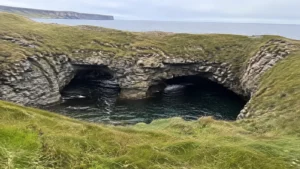
Head to St. Martins for covered bridges, a small harbor, and sandstone sea caves. Cave access is tide-dependent, and the exposed beach is not a place to ignore the return of the water.
Plan from the official tide and local safety information, wear shoes that tolerate wet stones, and turn back early. Exploring at low tide does not mean the ocean floor stays open for the length of your preferred photo session.
Continue into Fundy Trail Provincial Park only if the remaining hours match your chosen overlooks and walks. This landscape rewards getting out of the car, which makes an aggressive checklist especially silly.
The Fundy Trail Provincial Park site lists current park notices, trails, tide data, and closures. In 2026, the Big Salmon River suspension bridge is closed for renovation, proof that an itinerary copied from an older blog can fail at the trailhead.
Sleep in St. Martins or Continue?
Stay in St. Martins if you want a relaxed cave visit, sunset, and a full following day in the provincial park. Continue toward Alma only when the route, park access, daylight, and your lodging check-in are all confirmed.
Day 4: Fundy National Park and Alma
Make Fundy National Park the day’s centerpiece, not a scenic road between meals. Choose one longer trail or two short walks, then leave room for overlooks, changing weather, and an unhurried stop in Alma.
Parks Canada’s Fundy page is the source for current road work, trail conditions, camping, fees, programs, and safety notices. In September 2026, repairs close the Point Wolfe Covered Bridge and affect access beyond it, so current conditions matter even inside an established national park.
Alma works well for lunch, dinner, or an overnight base because it sits beside the park. Restaurant hours can be seasonal, and popular tables fill, so a backup meal from Saint John is not overplanning.
Pick the Right Trail
Match trail distance, elevation, surface, and estimated time to the slowest person in the group. Fog, rain, roots, and early darkness can make a moderate coastal or forest trail feel more demanding than its mileage.
The Fundy Footpath is not a casual extension of a viewpoint walk. If you are considering that multiday wilderness route, first be clear about backpacking versus day hiking and then use current park and trail-manager information.
Day 5: Alma to Hopewell Rocks and Moncton
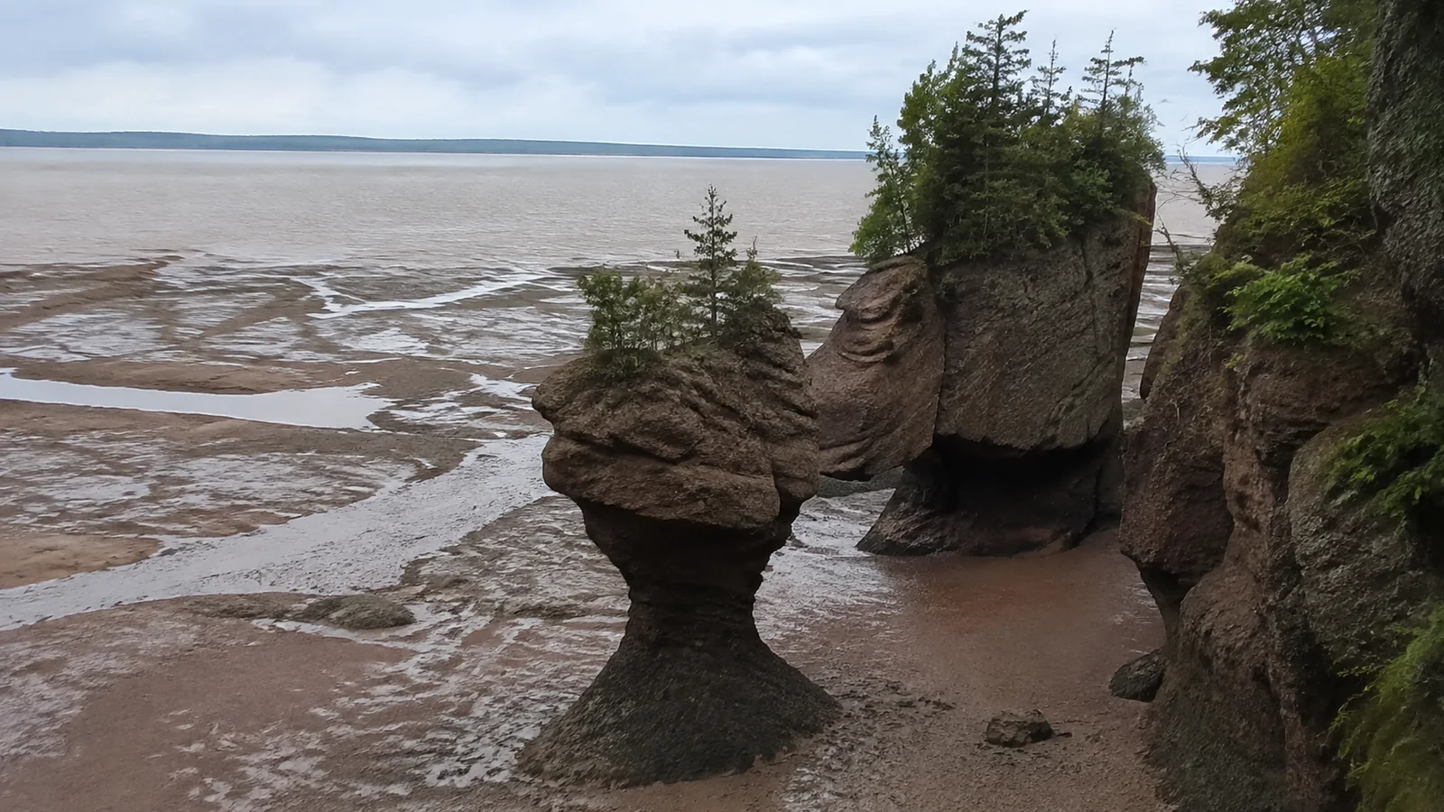
Build this day around Hopewell Rocks’ tide table, not hotel checkout alone. At lower water you may be able to walk on the ocean floor, while higher water reveals the same formations in a completely different setting.
The official Hopewell Rocks tide table uses Atlantic Time and explains that admission is valid for two consecutive days. That second day is useful when seeing both tide states matters more than forcing a long wait into one crowded visit.
Follow staff direction about when the ocean floor closes and never linger behind barriers as water returns. The point is to witness an enormous tidal range, not test whether you can outrun it.
Finish in Moncton for a broad range of lodging and onward transportation. If your flight leaves early, sleep near the airport rather than gambling on a dawn drive from a rural property.
How to Plan Around the Tides
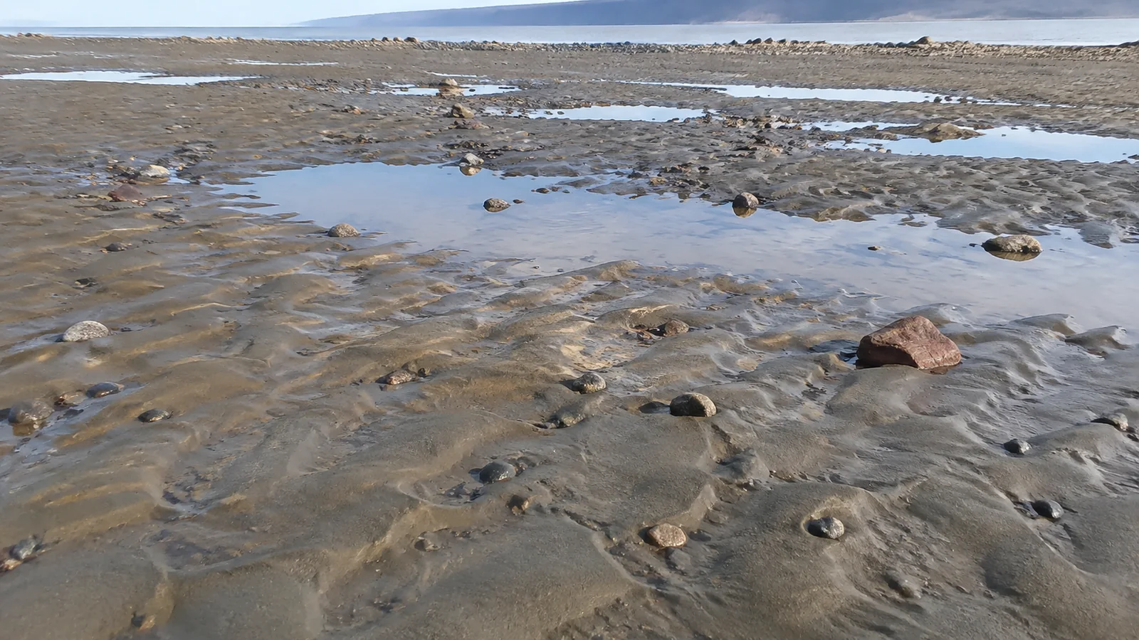
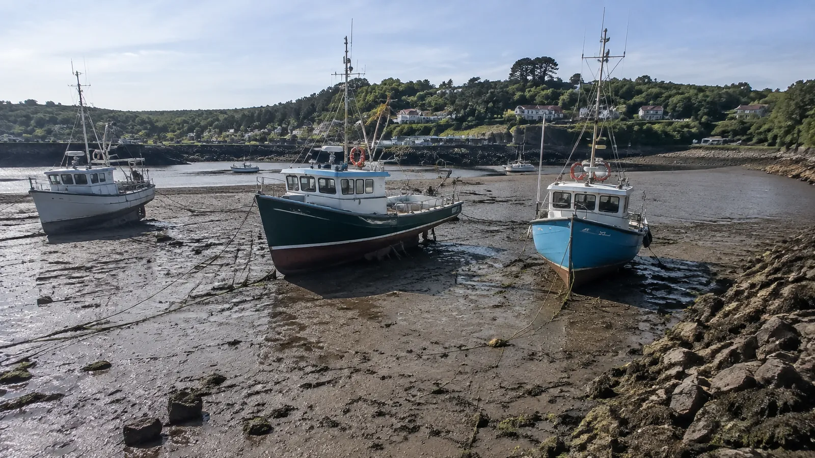
The Bay of Fundy does not deliver one convenient daily low tide. Times shift each day and vary by location, which means St. Martins and Hopewell Rocks need their own official information.
Choose one tide-dependent priority per day. Trying to hit sea caves, tidal rapids, an ocean-floor walk, and a ferry check-in on the same schedule creates a trip that is technically possible only until the first delay.
- Check the correct location and date, not a general Bay of Fundy chart.
- Confirm whether displayed times use Atlantic Time.
- Arrive before the ideal window so parking and ticketing do not consume it.
- Follow gates, staff, signage, and local conditions over a saved screenshot.
- Build an inland or town-based backup for fog, wind, or rain.
Driving Reality
The official 286-mile figure describes the route, not the amount your odometer will show after viewpoints, lodging, meals, and wrong turns. Expect slower progress on scenic roads and budget more time than a navigation app’s nonstop estimate.
Download offline maps, keep the fuel tank comfortably above empty, and save accommodation addresses before leaving a city. Cell coverage can be inconsistent in coastal and forested sections.
Watch for wildlife, cyclists, pedestrians, fog, and abrupt weather changes. Pull fully into designated areas before looking at scenery, and never stop in a travel lane for a photograph.
Where to Base Yourself
Changing hotels every night suits travelers who dislike backtracking and pack lightly. A two-base plan in Saint John and Alma reduces packing, though it adds driving to the western and eastern ends.
Campers can use provincial and national park options, but a campsite is not interchangeable with a hotel room. Verify equipment, site service, quiet hours, fire rules, food storage, showers, check-in, and seasonal temperatures.
Book early for summer weekends and fall color, especially when room type or accessibility is important. “Near Fundy” can still mean a long drive, so map the actual entrance or activity rather than trusting the property name.
Budget for the Whole Drive
Add rental car, fuel, lodging, park admissions, meals, parking, tours, ferry reservations, and insurance before judging the trip’s affordability. Canadian prices may be displayed before sales tax, and exchange rates move.
A free overlook can still cost half a tank of fuel and a more expensive rural hotel. Conversely, staying two nights in one place can save enough driving and packing time to justify a slightly higher room rate.
The broader New Brunswick travel guide helps compare the Fundy coast with the province’s Acadian, river-valley, and northern routes. Do not assume the famous coastal drive represents every part of New Brunswick.
Cross-Border and Onward Planning
U.S. travelers need documents accepted for their exact land, air, or sea crossing and should verify current entry requirements with the relevant government. A driver’s license alone is not a universal international travel document.
Rental contracts may restrict cross-border travel, ferries, gravel roads, or one-way returns. Get permission in writing and understand roadside-assistance coverage before adding Maine or Nova Scotia.
For a longer national itinerary, the Canada road trip planning framework keeps Atlantic ferries and long driving days in proportion. Newfoundland, PEI, Nova Scotia, and New Brunswick do not combine neatly without extra transit time.
Accessibility and Family Fit
Accessibility varies by viewpoint, beach, trail, boat, historic property, and tide state. Ask each operator about parking surface, grade, steps, shuttle availability, washrooms, seating, mobility equipment, and whether the advertised accessible feature is operating that day.
Families should resist treating mudflats and caves as giant unsupervised playgrounds. Keep children close near cliffs and incoming water, pack spare clothes and shoes, and place one easy stop between demanding ones.
This route can work beautifully without strenuous hiking. Scenic overlooks, towns, visitor centers, short boardwalks, and tide watching still deliver the coast, provided you confirm the exact access for your group.
What to Pack
- Waterproof jacket and warm layers in every season
- Closed shoes with grip plus a spare pair
- Binoculars, sunscreen, insect repellent, and refillable water
- Downloaded maps, charging cable, and power bank
- Small cooler and a backup meal for limited hours
- Passport or other required crossing documents
Leave room for muddy clothing and locally purchased food. The Bay of Fundy is more enjoyable when wet shoes do not become the emergency of the week.

Bottom Line
Fundy Coastal Drive is worth five days because the tide sets the rhythm and the best stops pull you out of the car. St. Andrews, Saint John, St. Martins, Fundy Trail, Alma, Fundy National Park, and Hopewell Rocks form a coherent mainland route without pretending every coastal island fits too.
Choose one tide priority each day, check live park notices, and cut stops before cutting sleep. The trip becomes far more memorable when the ocean, rather than a crowded spreadsheet, controls the pace.