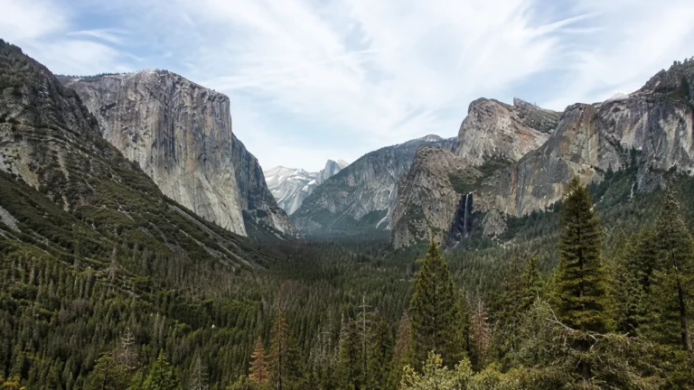
Road Trip Trivia: 48 Original Questions With Answers
A good road-trip trivia game needs short questions, answers that do not start an argument at mile 300, and enough variety for kids and adults. These 48 original questions cover highways, parks, capitals, signs, geography, and practical travel knowledge, with a brief explanation after every answer.
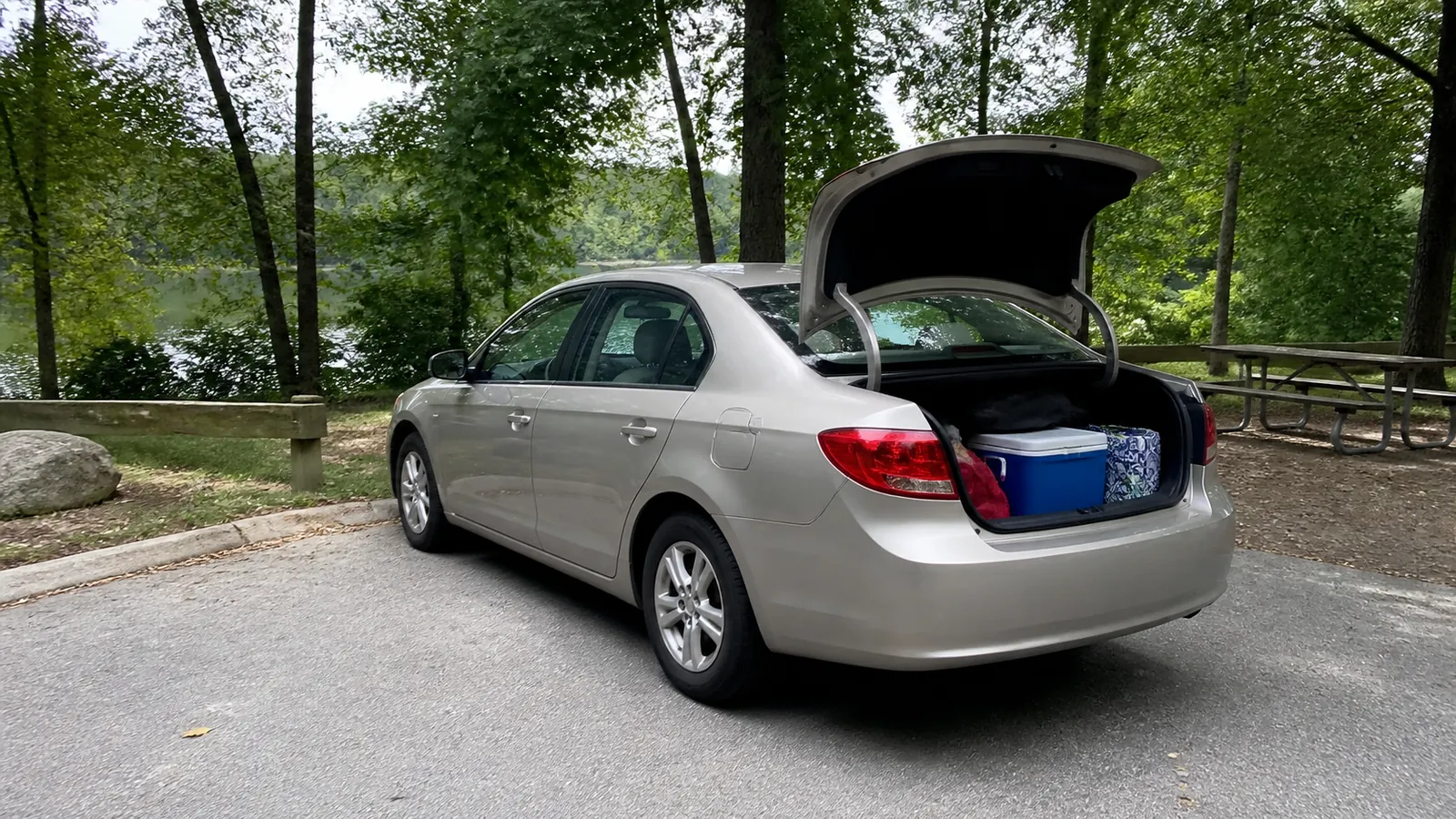
How to Play in the Car
Choose one passenger as host and keep the answers facing away from the players. The driver should listen only, never scroll, read, tally scores, or handle a phone.
- Give one point for a correct answer and no penalty for a guess.
- Allow 15 seconds per question, or make the game conversational with no timer.
- Play one round between stops so the host can change before anyone gets bored.
- Use the tiebreakers at the end, with the closest numerical guess winning.
The facts were written and checked for this article rather than copied from a commercial card deck or another trivia list. Time-sensitive answers, including the current National Park System count, carry a check date in the source ledger.
Round 1: American Highway Trivia
1. What is the longest Interstate route in the United States?
Answer: Interstate 90. Federal Highway Administration data place I-90 from Seattle to Boston at more than 3,000 miles, ahead of I-80 and I-40.
2. Which is longer, I-10 or I-80?
Answer: I-80. The current FHWA Interstate engineering table lists I-80 at roughly 2,907 miles and I-10 at roughly 2,460 miles.
3. Do even-numbered primary Interstates generally run east to west or north to south?
Answer: East to west. Primary north-south Interstates generally use odd numbers, although a route’s local path can curve dramatically.
4. What does the first digit usually tell you on a three-digit Interstate?
Answer: Whether the auxiliary route is commonly a spur or a loop. An even first digit generally reconnects to the parent route, while an odd first digit commonly identifies a spur.
5. Which U.S. Highway does the federal government identify as the country’s longest road?
Answer: U.S. 20. The FHWA history gives it a route from Boston to Newport, Oregon, with a break in designation through Yellowstone National Park.
6. In what year was the modern Interstate Highway System launched under President Eisenhower?
Answer: 1956. That makes 2026 the system’s 70th anniversary.
7. Which two cities anchor Interstate 5?
Answer: San Diego, California, and Blaine, Washington. It is the principal north-south Interstate corridor through California, Oregon, and Washington.
8. True or false: Every Interstate Highway crosses at least one state line.
Answer: False. Hawaii’s H-numbered Interstates qualify for federal Interstate funding and standards without connecting to another state.
Round 2: Route 66 Trivia
9. In what year did Route 66 officially begin?
Answer: 1926. The highway’s centennial is being celebrated in 2026.
10. Which city marked Route 66’s eastern beginning?
Answer: Chicago. The road ran southwest from Illinois through the central and western United States.
11. What West Coast city was the original western endpoint?
Answer: Los Angeles. The route was later extended to Santa Monica, which is why both names appear in accurate histories.

12. How many states did historic Route 66 cross?
Answer: Eight. They were Illinois, Missouri, Kansas, Oklahoma, Texas, New Mexico, Arizona, and California.
13. Approximately how long was Route 66?
Answer: About 2,400 miles. The National Park Service’s Route 66 overview uses that rounded distance because alignments changed over time.
14. Was Route 66 built as one completely new road?
Answer: No. It joined existing local, state, and national roads into a numbered route.
15. Which Route 66 state had the shortest segment of the historic highway?
Answer: Kansas. Its portion ran only about 13 miles through the state’s southeastern corner.
16. True or false: Historic Route 66 is still one continuously designated U.S. Highway.
Answer: False. The route was removed from the U.S. Highway System in 1985, and today’s drive uses preserved alignments, local roads, state highways, and Interstate connections.
A Route 66 trivia win does not replace navigation. Travelers should select an alignment, check closures, and reserve enough time for small-town stops rather than expecting one continuous vintage road.
Round 3: National Park Trivia
17. What was the first national park in the United States?
Answer: Yellowstone. It was established in 1872 and now spans parts of Wyoming, Montana, and Idaho.
18. How many individual units does the National Park Service currently manage?
Answer: 433 as checked in September 2026. The NPS system overview says those units cover more than 85 million acres.
19. Are all 433 National Park Service units named “National Park”?
Answer: No. The system includes national monuments, historical parks, historic sites, battlefields, seashores, lakeshores, recreation areas, parkways, and other designations.
20. Which national park contains the lowest point in North America?
Answer: Death Valley National Park. Badwater Basin is 282 feet below sea level.
21. Which national park contains Denali, North America’s highest mountain?
Answer: Denali National Park and Preserve. The summit’s official elevation is 20,310 feet.
22. Great Smoky Mountains National Park straddles which two states?
Answer: Tennessee and North Carolina. The state line crosses the park’s mountain landscape.
23. Which river carved the Grand Canyon?
Answer: The Colorado River. Tributaries, uplift, erosion, and deep geologic time also shaped the canyon seen today.
24. Which national park is reached only by boat or seaplane and closes to visitors in winter?
Answer: Isle Royale National Park in Lake Superior. Its isolation makes transport schedules and weather part of the park plan.
If this round inspires an actual drive, compare it with these underrated U.S. vacation ideas. A quieter destination still needs current road, reservation, and operating checks.
Round 4: Great Lakes and Geography Trivia
25. Can you name all five Great Lakes?
Answer: Superior, Michigan, Huron, Erie, and Ontario. The familiar HOMES mnemonic lists Huron, Ontario, Michigan, Erie, and Superior.
26. Which Great Lake is largest by surface area?
Answer: Lake Superior. It is also the coldest and deepest of the five.
27. Which Great Lake lies entirely within the United States?
Answer: Lake Michigan. The other four form part of the United States-Canada boundary.
28. Which state touches four of the five Great Lakes?
Answer: Michigan. It borders Superior, Michigan, Huron, and Erie, but not Ontario.
29. The Great Lakes contain about what share of the world’s surface fresh water?
Answer: Roughly 20 percent. The U.S. Geological Survey overview also places about 90 percent of U.S. surface fresh water in the system.
30. Which four states meet at Four Corners?
Answer: Arizona, New Mexico, Colorado, and Utah. It is the only place where four U.S. states meet at one point.
31. Which state is largest by total area?
Answer: Alaska. Texas is the largest of the 48 contiguous states.
32. Which state is smallest by total area?
Answer: Rhode Island. Its compact size does not mean every coastal drive is quick during busy summer traffic.
The Great Lakes road-trip itinerary turns Round 4 into a realistic loop. Five lakes cover too much ground for a rushed long weekend.
Round 5: State Capital Trivia
33. What is the capital of New York?
Answer: Albany. New York City is the state’s largest city, not its capital.
34. What is the capital of California?
Answer: Sacramento. Los Angeles and San Francisco are larger tourism magnets, which makes this a classic trick question.
35. What is the capital of Nevada?
Answer: Carson City. Las Vegas is much larger and better known.
36. What is the capital of Florida?
Answer: Tallahassee. It sits in the Panhandle rather than near Orlando or Miami.
37. What is the capital of Oregon?
Answer: Salem. Portland is the state’s largest city.
38. What is the capital of Alaska?
Answer: Juneau. No road connects it to the rest of Alaska’s highway system, so travelers arrive by air or water.
39. What is the capital of South Dakota?
Answer: Pierre. It is pronounced “peer,” not like the French name Pierre.
40. What is the capital of New Mexico?
Answer: Santa Fe. It is also the highest-elevation U.S. state capital, at roughly 7,000 feet.
Round 6: Road Sign and Driving Trivia
41. What shape is a standard stop sign?
Answer: An octagon, with eight sides. Its distinctive shape helps drivers recognize it from the back or in poor visibility.
42. What shape is a standard yield sign?
Answer: A downward-pointing triangle. It is the only common traffic sign with that outline.
43. What shape is the advance warning sign for a railroad crossing?
Answer: Round. The white crossbuck appears at the tracks, while the yellow circular sign warns drivers in advance.
44. What color usually identifies temporary traffic-control and work-zone warnings?
Answer: Orange. Drivers should still obey any posted flagger, speed, lane, or detour instruction rather than relying on color alone.
45. What color generally marks recreation and cultural-interest signs?
Answer: Brown. These signs commonly point toward parks, historic sites, camping, and other visitor resources.
46. What color generally marks motorist services such as gas, food, or lodging?
Answer: Blue. Service availability can still be seasonal or distant, especially at rural exits.
47. What does a flashing red traffic signal require?
Answer: A complete stop before proceeding when safe. It functions like a stop sign unless an officer directs otherwise.
48. True or false: A green light guarantees the intersection is clear.
Answer: False. Green permits movement, but drivers must yield as required and avoid entering a blocked intersection.
Five Tiebreaker Questions
Have every player write or say one numerical guess, then reveal the answer. Closest wins, and going over is allowed unless the group chooses a different rule before guessing.
- How long is I-90? FHWA’s engineering table lists 3,085.27 miles.
- How long is U.S. 20? FHWA’s historical highway log gives 3,365 miles.
- How many National Park Service units exist? 433, checked September 2026.
- How far below sea level is Badwater Basin? 282 feet.
- How high is Denali? 20,310 feet.
Mileage tables can change as routes are realigned or measurement methods differ, so accept a rounded answer in casual play. The point is a lively car, not a roadside audit.
Make the Game Work for Mixed Ages
Let younger players choose between two answers, such as “Albany or Buffalo?” Adults can earn a bonus point by explaining the answer without looking.
On a trip with friends, assign each person one round to host and one to score. The friends road-trip planner can help settle route and overnight expectations before the game becomes the group’s only shared plan.
Skip questions connected to a player’s hometown if everyone else has no reasonable chance, or turn that person into the host. A good game creates conversation instead of proving who memorized the most obscure county facts.
Use Trivia at Safe Moments
Pause during complicated navigation, bad weather, heavy traffic, wildlife near the roadway, fuel stops, and border or park entrances. The host should handle the article and scoring while the driver keeps both hands and attention on driving.
Trivia also works at a picnic table, campsite, restaurant wait, or hotel lobby. Saving the hardest round for a stationary break gives the driver a fair chance to play.
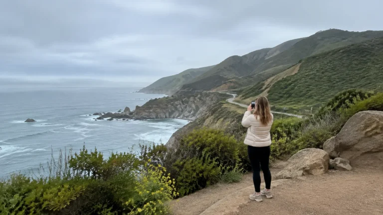
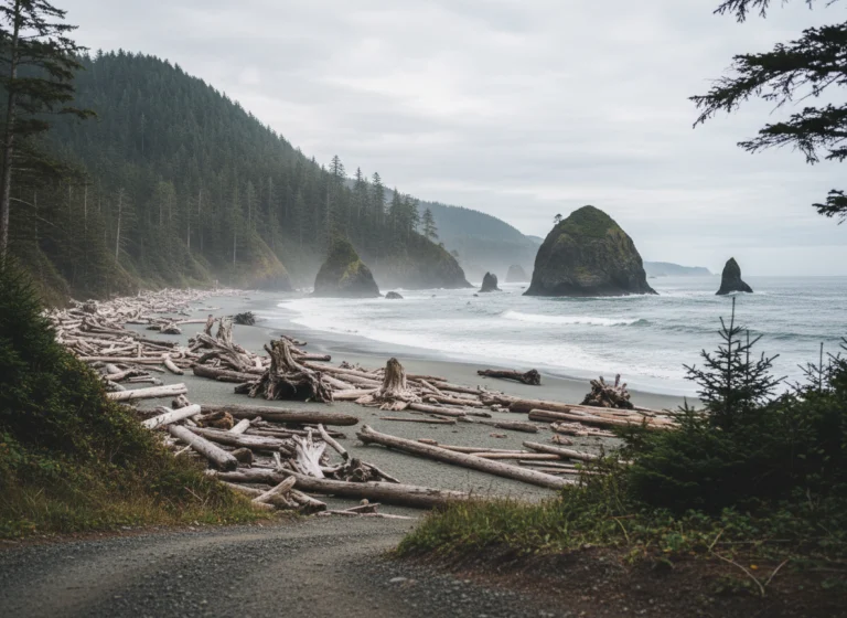
For a coastal trip, pair a round with a genuine rest stop from this Pacific Coast route. Scenic pullouts are for looking and walking, never for distracted last-second braking.

Final Answer
The best road-trip trivia is accurate, easy to host, and flexible enough to stop when the road needs everyone’s attention. Use all 48 questions on a long travel day or save one round for each leg, then let the answers inspire future stops rather than surprise detours.