Prairie du Chien and Wyalusing State Park: Complete Visitor Guide
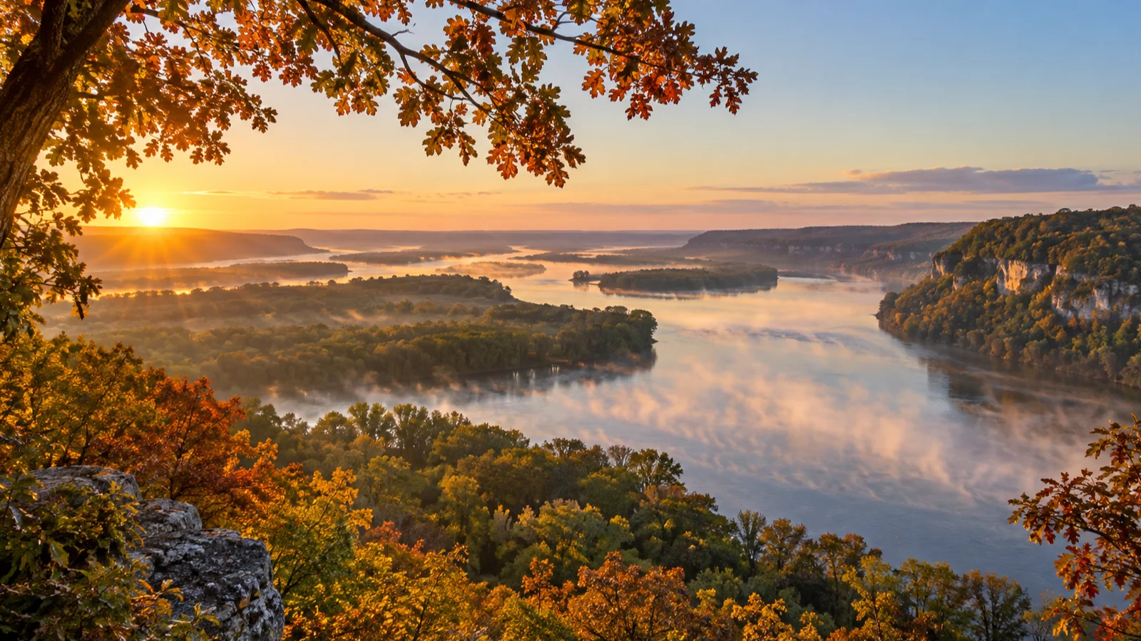
From Wyalusing’s bluffs, the Wisconsin River seems to pour straight into a sheet of silver Mississippi water, while Prairie du Chien below gives the landscape centuries of human context.
This guide helps you combine those river-town stories and wild views without turning the visit into a string of parking lots, ticket windows, and trailhead deadlines.
Why combine Prairie du Chien and Wyalusing State Park?
Yes, and the pairing works better than either place as a rushed stop. Prairie du Chien supplies the history, food, and river-town context, while Wyalusing provides the overlooks and trails that make the landscape memorable.
The destinations sit close enough to combine without constant driving, but they deserve different kinds of attention. Prairie du Chien rewards history and riverfront time, while Wyalusing suits overlooks, picnics, hiking, camping, and birding.
I recommend this trip for couples, families with history-curious children, hikers who enjoy views more than high mileage, and anyone building a Mississippi River route. It also makes a strong alternative to the state’s better-known weekend destinations in my guide to Wisconsin day trips.
How long to spend in the area
One full day is enough for one Prairie du Chien historic site, the riverfront, lunch, Point Lookout, and one Wyalusing trail. Keep that version selective because two full museum visits and several hikes will feel rushed.
Two days create a better all-around visit, with one day for Prairie du Chien and one for the park. Add another night if you want camping, paddling, fishing, nearby Iowa sites, or a broader Great River Road route.
A half-day visit should focus on one destination. Choose Prairie du Chien for history and a working river town, or Wyalusing for scenery and outdoor time.
Getting to Prairie du Chien and Wyalusing
Prairie du Chien sits at the junction of U.S. Highway 18 and Wisconsin Highway 35 beside the Mississippi River. It is roughly 60 miles south of La Crosse and about 85 miles northwest of Dubuque.
From central Madison, plan on a drive of about two hours. Visitors following the Great River Road or staying elsewhere in the Driftless Area can treat Prairie du Chien as a base rather than a turnaround point.
Wyalusing State Park is roughly 10 miles south of Prairie du Chien, usually another 15 to 20 minutes by car. That short gap makes it easy to spend the morning in town and the afternoon at the park without doubling back.
Arrive early when a historic-site tour is important or when you want a substantial hike. A later arrival works for a focused city visit or several park overlooks with one short trail.
This corner of Wisconsin also belongs naturally in a longer Driftless or Great River Road trip. These Wisconsin road-trip itineraries help place the drive within a route that does not waste half the vacation changing hotels.
Best things to do in Prairie du Chien
Explore St. Feriole Island
Start at St. Feriole Island, the historic lowland between downtown Prairie du Chien and the Mississippi River. This puts Villa Louis, open parkland, historic structures, and river views within the same compact area.
Use the island as an orientation stop rather than trying to interpret every building from the car. The city’s St. Feriole Island Park page adds context and lists major events that may change how the space is used.
Allow 20 to 30 minutes to walk near the river, look across the channels, and understand how water shaped the town. If high water or an event has closed a section, follow the signs and enjoy the open portion instead of forcing the planned route.
My sister once insisted the river breeze did not justify carrying a jacket, then borrowed mine before we had finished the island walk. The Mississippi can feel noticeably cooler than the parking lot, so a light layer now stays in my car.
Birders should bring binoculars because the open water, backwaters, and island edges can attract waterfowl, eagles, herons, and other river species. You do not need to identify everything for the stop to be worthwhile.
Tour Villa Louis
Villa Louis is my first choice for a single paid attraction in Prairie du Chien. The restored Victorian estate tells the Dousman family’s story while connecting fur trade, wealth, domestic life, labor, and the city’s strategic river location.
The house sits on St. Feriole Island at 521 Villa Louis Road, so it follows the riverfront stop without another drive across town. If Villa Louis anchors your visit, choose a tour from the official calendar before arranging lunch and park time around it.
That single tour provides enough structure for the morning, so you do not need to add a second museum appointment. Arrive a few minutes early and let the grounds set the pace.
Allow about 90 minutes for the house, grounds, and related exhibits. Travelers who dislike guided historic homes can skip it without guilt and choose Fort Crawford Museum instead.
Villa Louis alternative: Fort Crawford Museum
Fort Crawford Museum at 717 South Beaumont Road is the stronger choice if military history, frontier medicine, archaeology, and broader local history interest you more than a furnished home. Its exhibits occupy several buildings associated with the second Fort Crawford site.
The Fort Crawford visitor page says a full self-guided visit typically takes 60 to 90 minutes. On an open date, it is an easy one-for-one replacement for Villa Louis rather than an extra stop.
Do not attempt full visits to both museums during a limited visit unless you plan to reduce hiking substantially. Choose Villa Louis for the most cohesive guided historic-estate experience and Fort Crawford for self-paced military, medical, and town history.
Walk downtown Prairie du Chien
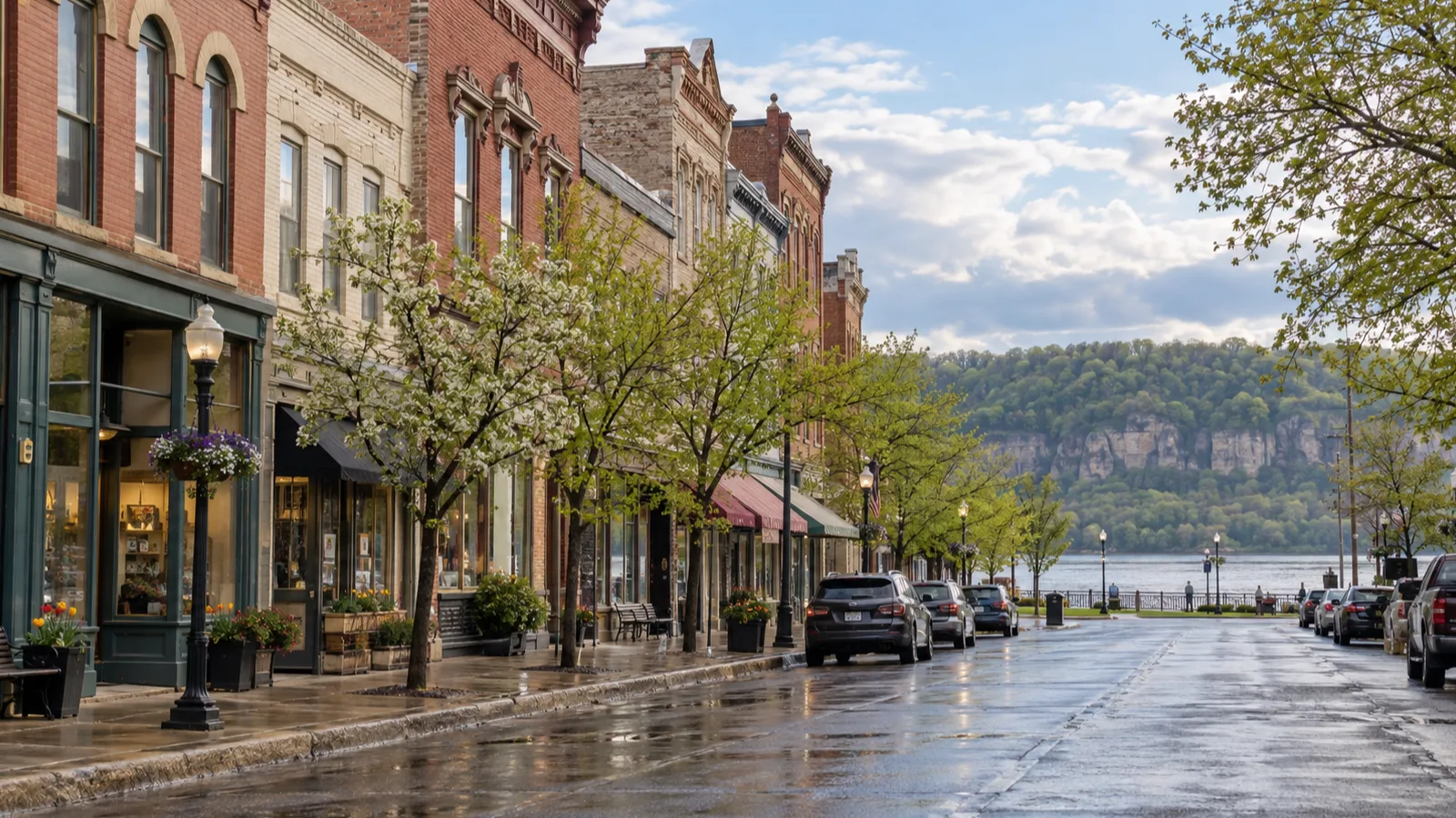
Continue from the island to the downtown blocks around Blackhawk Avenue. The commercial center is small enough for a short walk, a coffee, and a look inside a shop or two before lunch.
Prairie du Chien is not a pristine museum district, and that is part of its value. It remains a working river town shaped by tourism, railroads, highways, commerce, and the Mississippi.
Spend 30 to 45 minutes downtown during a combined visit rather than stretching the stop to fill time. Wyalusing’s trails deserve your best energy and daylight.
Choose the right Prairie du Chien meal
Pete’s Hamburger Stand is the classic quick option when it is operating, especially for travelers who want a simple local ritual rather than a long meal. Its schedule is seasonal, the menu is intentionally narrow, and the experience suits hamburger fans more than mixed dietary groups.
Fort Mulligan’s Grillpub is a better fit for a sit-down lunch with a broader menu and historic atmosphere. It usually takes longer, so tell yourself honestly whether lunch or trail time is the priority.
For the most flexible day, pick up sandwiches or picnic supplies and eat at a designated area in Wyalusing. This works especially well when museum timing shifts or the weather forecast favors reaching the overlooks sooner.
When a museum or lunch runs long, shorten the downtown walk before reducing Wyalusing to a single photograph. The trail and overlook are the half of the pairing that cannot be recreated indoors.
Visiting Wyalusing State Park
Start with the park map and current notices
Wyalusing State Park protects high bluffs above the meeting of the Wisconsin and Mississippi rivers. The drive from Prairie du Chien is short, but the landscape changes quickly as the road rises away from the river plain.
A Wisconsin state park vehicle admission sticker is required, whether you use an annual sticker or buy the appropriate daily admission. The official Wyalusing State Park page provides current notices, maps, property information, and contact details.
Download the map before arrival or pick up a copy at the park office when it is staffed. It makes the separate bluff roads, campgrounds, trailheads, and boat landing much easier to understand.
A navigation app flattens the park into a few deceptively close pins. Follow the property map once inside, since the shortest line on a phone is not always a public driving route.
See Point Lookout and the confluence
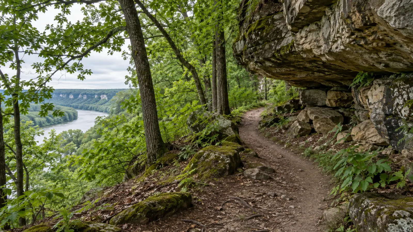
Make Point Lookout your first park destination because it delivers the essential view before weather or tired legs alter the plan. From the bluff, you can look over the Wisconsin River’s meeting with the Mississippi and the broad floodplain beyond.
Allow at least 20 minutes instead of hopping out for one photograph. River light, trains, boats, birds, haze, and changing clouds give the view more character when you actually watch it.
The overlook is also the core experience for travelers who prefer a view-first, lower-walking visit. Ask the park about the exact parking distance and surface only when those details will determine whether the stop works.
Choose the right Wyalusing hiking route
Wyalusing has enough trails to fill a separate day, while a combined visit usually needs one well-chosen route. Use the official Wyalusing hiking guide to compare current descriptions and distances.
Best for a short first hike: Bluff Trail
Bluff Trail is about 0.9 miles and follows a wooded bluff with stairs and rock features. It delivers more variety than a flat exercise loop, but steps, roots, damp leaves, and elevation changes make it a poor choice for anyone expecting an accessible stroll.
Take your time near stairs and exposed edges, especially after rain or during leaf season. Turn around if footing becomes uncomfortable because a scenic trail does not become more beautiful after an avoidable fall.
Best for ridge history and views: Sentinel Ridge
Sentinel Ridge Trail and its loop total about 1.6 miles, with bluff scenery and interpretive material near burial mounds. It is the better fit for travelers interested in both landscape and the park’s long human history.
Treat the mounds as protected cultural places, stay on the route, and do not climb or walk across them. The trail configuration can be confusing if you glance only at the mileage, so use the park map to understand whether your chosen section returns to the car.
Best for a quieter woodland walk: Sugar Maple Trail
Sugar Maple Trail is a useful choice when you want forest rather than another exposed viewpoint. Conditions can be muddy or slippery, and seasonal vegetation may limit distant views.
I would choose Bluff Trail for the most visually varied short walk or Sentinel Ridge for a longer historic ridge experience. Skip Sugar Maple on a first visit unless woods and solitude matter more to you than bluff scenery.
For other regional routes, compare difficulty and payoff in my guide to the best hikes in southern Wisconsin. Wyalusing stands out because river geography and history remain visible from the same ridges.
Add a second overlook or picnic break
After the trail, return to a bluff-top viewpoint or designated picnic area for a snack and water. This buffer lets slower hikers finish comfortably and gives families a calmer ending.
If skies are hazy, do not keep driving between overlooks hoping the next one will produce a completely different horizon. Use the final hour for one quiet view, then begin your return or onward drive before fatigue takes over.
Onward travelers should leave with a comfortable daylight margin during shorter seasons. Overnight visitors can wait for softer evening light without watching the clock as closely.
Best season for this combined trip
Late spring through fall offers the easiest version because Villa Louis and Fort Crawford Museum operate seasonally, park trails are more likely to be clear, and daylight supports both town and hiking. Each season still changes the character of the day.
Spring brings river activity, fresh green hillsides, wildflowers, mud, and possible high water. Check flood conditions and park notices before assuming every riverfront area or trail is open.
Summer provides long daylight and the broadest schedule, but bluff trails can be hot and humid. Tour the historic site in the morning, carry more water than you think you need, and hike after lunch only if heat and storms allow.
Fall offers color across the bluffs and cooler walking temperatures. Popular weekends can mean fuller parking areas and restaurants, while fallen leaves can hide roots and make damp steps slick.
Winter is best treated as a park-and-scenery day because the major historic attractions close for the season. Roads and overlooks may remain available, but snow, ice, reduced facilities, and early darkness require a shorter plan.
Parking, admission, and costs
St. Feriole Island and downtown both have public parking. Use the signed areas, then walk each compact zone rather than moving the car for every sight.
Villa Louis and Fort Crawford Museum charge admission, while Wyalusing requires a state park vehicle sticker. Budget for one museum and the park rather than stacking both historic-site tickets into a rushed day.
A practical budget includes fuel for roughly 220 miles of driving, lunch, one historic-site admission, and park vehicle admission. A picnic lowers food costs, but the park sticker remains necessary even if you stay only for the overlooks.
Accessibility and lower-mobility options
A lower-mobility day can still include St. Feriole Island, a scenic downtown drive, a riverfront stop, and bluff viewpoints reached by park roads. Historic buildings and bluff trails require more careful planning because steps, slopes, older doorways, and natural surfaces may limit access.
Contact Villa Louis or Fort Crawford Museum directly before visiting if you need step-free entry, accessible restrooms, seating, or a modified tour. Do the same with Wyalusing if an overlook’s parking distance or surface will determine whether the stop works.
Skip Bluff Trail and Sentinel Ridge if stairs, roots, or elevation changes are unsafe for your group. Spend that time at Point Lookout, another drive-up viewpoint, and a picnic area instead.
Bringing children or dogs
Children who enjoy stories can get more from one historic-site tour than from two museums. At the park, choose a short trail, keep everyone away from bluff edges, and bring snacks before patience becomes the day’s rarest natural resource.
Dogs are allowed in many Wisconsin state park outdoor areas when properly leashed, but they are restricted from certain buildings and designated areas. Check Wyalusing’s posted pet rules, clean up waste, carry water, and never leave a dog in a warm vehicle during a museum tour.
Villa Louis and Fort Crawford Museum are not good drop-in stops with a pet. If you cannot arrange safe care, build the city portion around outdoor riverfront areas and confirm every location’s pet policy.
What to bring
- Walking shoes with reliable traction
- Water and trail snacks or a picnic
- Binoculars for river birds and distant views
- Sunscreen, insect repellent, and a hat
- A rain layer and an extra layer for bluff wind
- A downloaded park map and offline driving directions
- A phone charger or power bank
- A Wisconsin state park annual sticker if you already own one
Trekking poles are optional but useful on wet leaves, steps, or uneven trails. Do not bring a drone, and follow all posted park rules protecting wildlife, archaeological features, and other visitors.
I once brought my Aussiedoodles for a leashed park walk and learned that one mile can take an hour when every leaf requires a committee review. With dogs, I choose a shorter route, carry extra water, and leave the historic-house portion for a pet-free visit.
Off the Beaten Path: Local Finds Most Visitors Miss
La Riviere Park
Just outside Prairie du Chien off Vineyard Coulee Road, city-owned La Riviere Park spreads across roughly 300 acres of prairie, woods, and grassland. Its approximately 6 miles of trails fit travelers who want a local walk, trail run, or open-country break without driving immediately to Wyalusing.
Watch for shared equestrian use on La Riviere Park trails, choose sturdy shoes, and follow the posted dog rules. These are open-country paths rather than paved city sidewalks, which is exactly why the park feels like a local find.
Sand Cave Trail
Wyalusing’s 1.6-mile Sand Cave Trail leads past Big Sand Cave and Little Sand Cave, where water has sculpted shallow recesses in the sandstone, then continues toward Black Thunder Point. It is an appealing middle ground for hikers who want geology and a viewpoint without selecting one of the park’s longest routes.
These are natural rock features, not developed caverns, and damp sandstone, roots, or leaves can be slippery. Stay on the marked trail, avoid climbing fragile surfaces, and allow 60 to 90 minutes instead of judging the walk by mileage alone.
Huser Astronomy Center
About 100 yards beyond the Wyalusing park office, Huser Astronomy Center hosts public stargazing programs with the StarSplitters astronomy group on selected nights, generally during the warmer part of the year. This is the best hidden extra for campers, overnight visitors, and families whose children still have energy after dark.
Programs depend on the posted schedule and viewing weather, so never make the drive solely for stargazing without checking first. The program itself may be free, but regular park vehicle admission still applies, and arriving before dark makes parking and orientation easier.
The Wyalusing backwater canoe trail
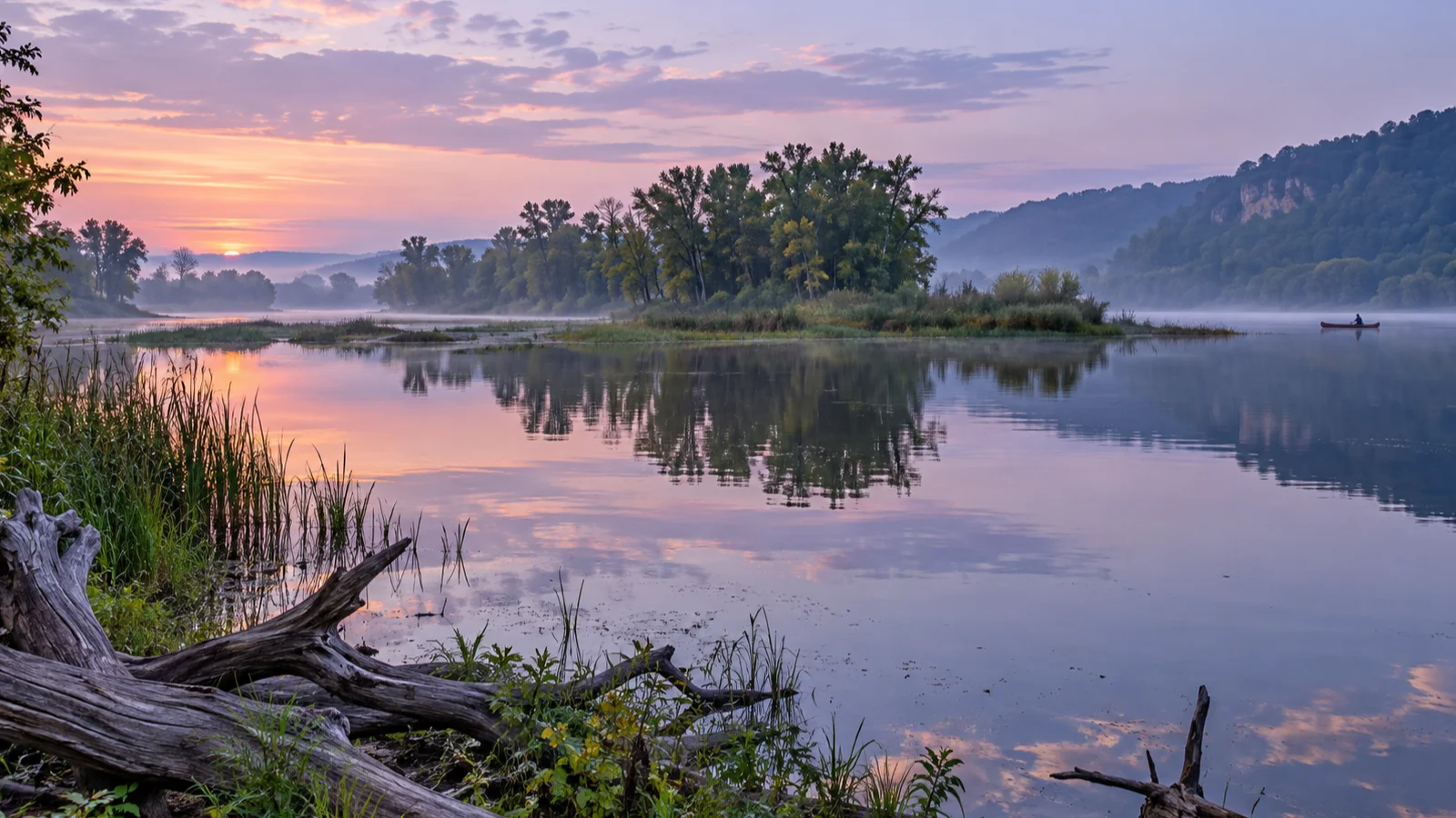
A marked canoe trail begins and ends at the park boat landing, threading through Mississippi River backwaters that feel completely different from the bluff overlooks. I would choose it for experienced paddlers who value quiet water, birds, and route-finding more than checking off another hike.
Seasonal rentals may be available through the concession, but water level, current, weather, and rental operations all require advance confirmation. Wear a properly fitted life jacket, carry the park’s water-trail information, follow the marked route, and skip the outing when wind or river conditions exceed your skills.
What to skip on a first visit
Skip Effigy Mounds National Monument and Pikes Peak State Park across the river in Iowa. Both deserve intentional time, and adding them turns a focused Wisconsin day into a border-crossing attraction chase.
Skip one of the Prairie du Chien museums rather than rushing through both. Villa Louis and Fort Crawford tell related history through different lenses, and either can justify a return visit.
Skip the park’s boat landing unless you are launching, fishing, camping nearby, or specifically want the lower-river perspective. The bluff overlooks and one ridge trail provide a stronger first visit when time is limited.
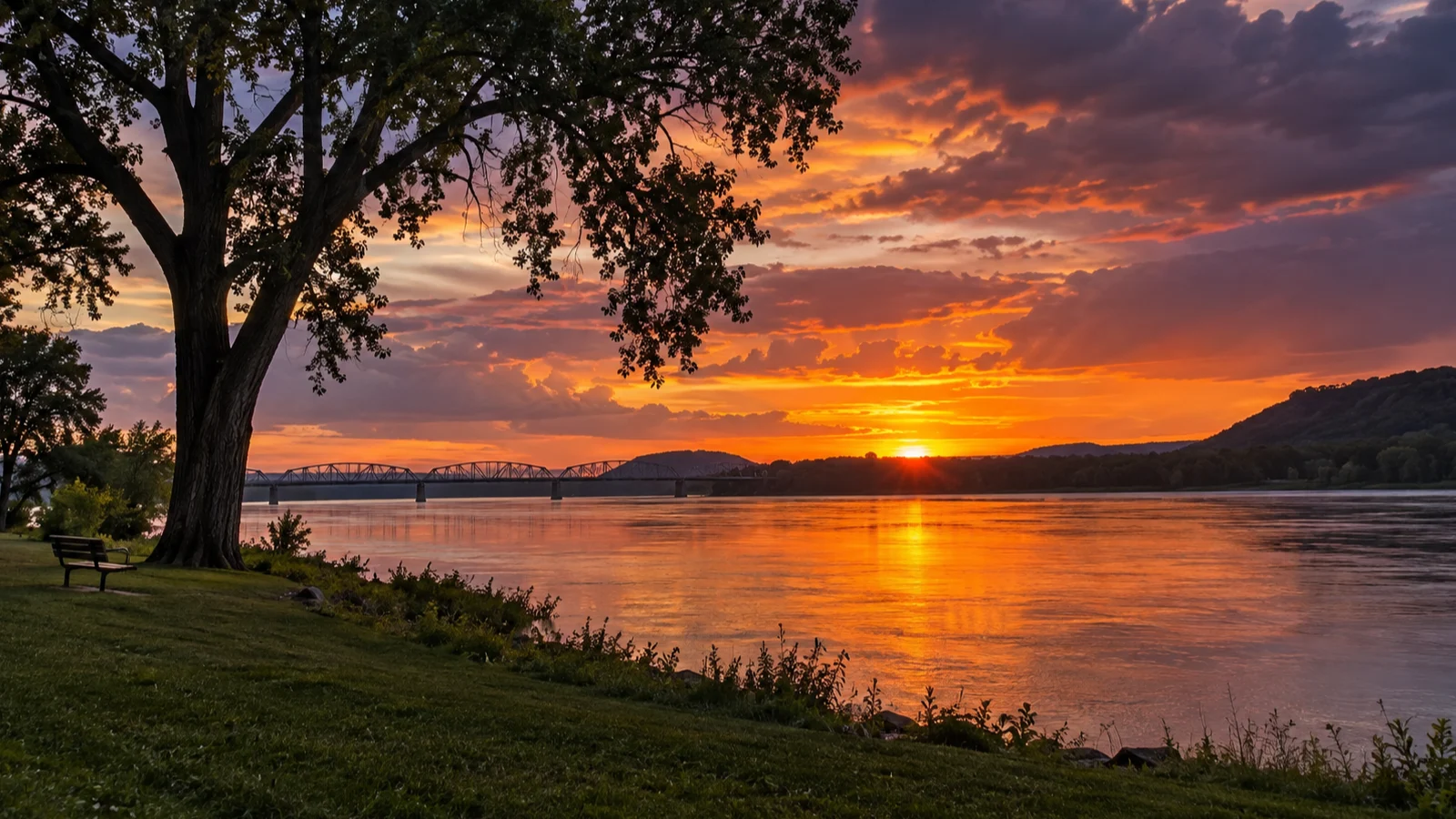
Do not promise yourself sunset if you are already tired. A beautiful view is not worth a drowsy drive to your next stop or lodging.
Prairie du Chien and Wyalusing FAQ
How much time do you need in Prairie du Chien?
Allow three to four hours for one historic attraction, St. Feriole Island, downtown, and lunch. Give the city a full day if you want both major museums or a slower river-focused visit.
How much time do you need at Wyalusing State Park?
Three hours covers Point Lookout, one short trail, and a picnic or second viewpoint. Hikers, paddlers, campers, and birders can easily spend a full day.
Does Wyalusing State Park require an admission sticker?
Yes, vehicles entering the park need the appropriate Wisconsin state park admission sticker. Annual and daily options are available, with rates that depend on vehicle registration and visitor eligibility.
What is the best easy view at Wyalusing?
Point Lookout is the essential first stop because it provides a high view over the Wisconsin and Mississippi river landscape without requiring a long hike. It is the default choice for a view-first, lower-walking visit.
Can you visit Wyalusing without hiking?
Yes, the park’s roads, overlooks, picnic areas, and scenery can make a satisfying short visit. Trail walkers will see more detail, but hiking is not required to understand why the location is special.
Which is better, Villa Louis or Fort Crawford Museum?
Choose Villa Louis for a guided historic estate and a focused family story. Choose Fort Crawford for self-paced exhibits about military history, medicine, archaeology, and the wider development of Prairie du Chien.
Is this trip good in winter?
Wyalusing can be beautiful in winter, but historic attractions are seasonal and park conditions may limit trails or facilities. Build a shorter daylight visit around safe roads, current notices, and overlooks rather than expecting the full warm-season experience.
How I would combine Prairie du Chien and Wyalusing
For a first full-day visit, tour Villa Louis, walk St. Feriole Island and downtown, eat an efficient lunch, then continue to Wyalusing’s Point Lookout and either Bluff Trail or Sentinel Ridge. For a two-day stay, give the town and park separate days so you can add Fort Crawford, a second hike, and slower riverfront time.
If Villa Louis is closed, substitute Fort Crawford Museum when it is operating or give the riverfront more time before reaching the park early. The best version is not the one with the most stops, but the one that leaves enough energy to appreciate the confluence from above.
Prairie du Chien is also one of the stronger historic small-city stops in the state, while Wyalusing adds the landscape that explains why people have gathered here for generations. For more ideas matched by season and travel style, compare the route with my guide to Wisconsin cities worth visiting.