6 Best Wisconsin Road Trips for Every Kind of Traveler
Wisconsin is deceptively big, and that matters when you are building a road trip. The smartest itinerary is not one heroic loop, but a focused route with enough time for lake views, small-town lunches, and the state park you actually came to see.
Which Wisconsin Road Trip Should You Choose?
If this is your first Wisconsin trip, Door County gives you the easiest mix of shoreline, villages, parks, and good food. Choose Lake Superior for wild scenery, the Great River Road for bluff views, and the Driftless Area for quiet backroads and low-key towns.
- Best first trip: Door County, 3 to 4 days
- Best dramatic scenery: Lake Superior and Bayfield, 4 to 5 days
- Best leisurely drive: Great River Road, 3 to 5 days
- Best couples’ escape: Driftless Area, 3 to 4 days
- Best city-and-coast combination: Milwaukee to Door County, 5 to 7 days
- Best fall weekend: Northwoods, 3 days
Driving times below are estimates before stops, traffic, and roadwork. Check Wisconsin’s official 511 map before departure, especially during summer construction and winter weather.
1. Door County for the Classic Wisconsin Escape
Route: Sturgeon Bay, Egg Harbor, Fish Creek, Sister Bay, Ellison Bay, Baileys Harbor
Allow: 3 to 4 days, plus an optional Washington Island day
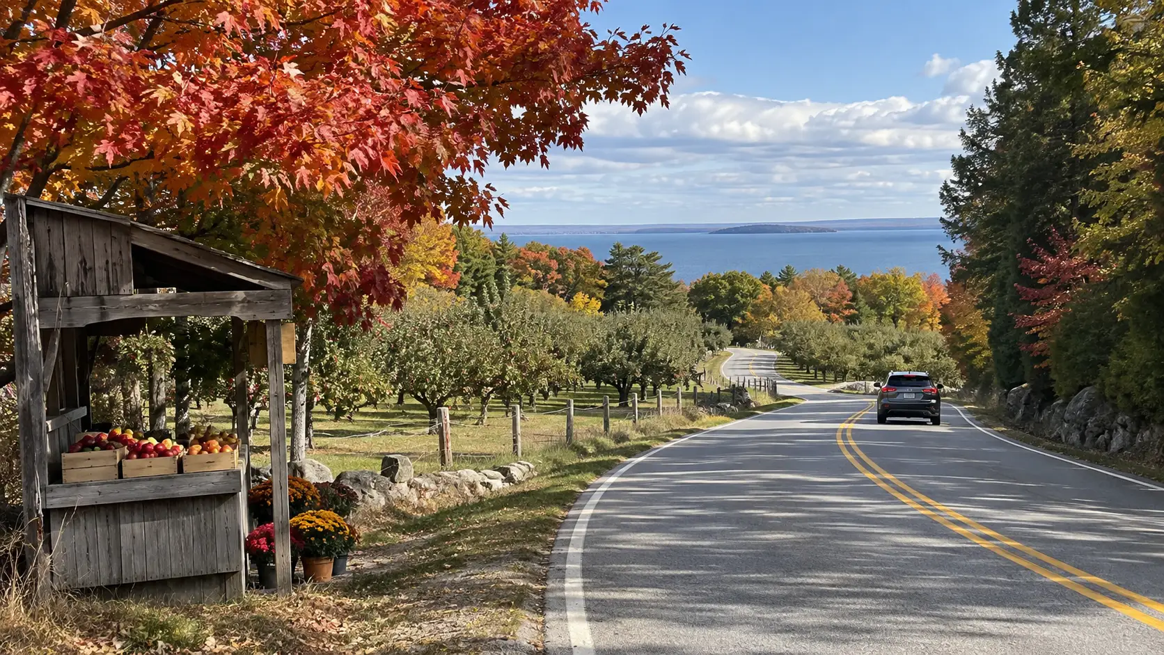
Door County is the answer when you want pretty harbors and real outdoor time without spending half the vacation in your car. Its official Coastal Byway makes a 66-mile loop on Highways 42 and 57, but trying to “finish” it in one fast circuit misses the point.
A realistic Door County itinerary
On day one, sleep in Sturgeon Bay and explore the working waterfront. Day two belongs to the bay side, with stops in Egg Harbor and Fish Creek before an afternoon at Peninsula State Park.
Use Sister Bay or Ephraim as your second base, then follow Highway 42 north through Ellison Bay to Gills Rock on day three. Return down the quieter Lake Michigan side through Baileys Harbor, leaving room for a beach walk or a trail instead of stacking six villages into one afternoon.
Washington Island is optional, not a box you must check. Taking a vehicle adds ferry timing and cost, so walk or bike only if the sights you want fit that plan, and confirm the current schedule before committing your day.
Tradeoff: Door County is wonderfully easy to enjoy and correspondingly busy in summer and fall weekends. Book lodging early, start park mornings early, and expect some restaurants and attractions to keep shorter hours outside peak season.
2. Lake Superior and Bayfield for Big Scenery
Route: Superior, Bayfield Peninsula, Bayfield, Ashland, Copper Falls State Park
Allow: 4 to 5 days
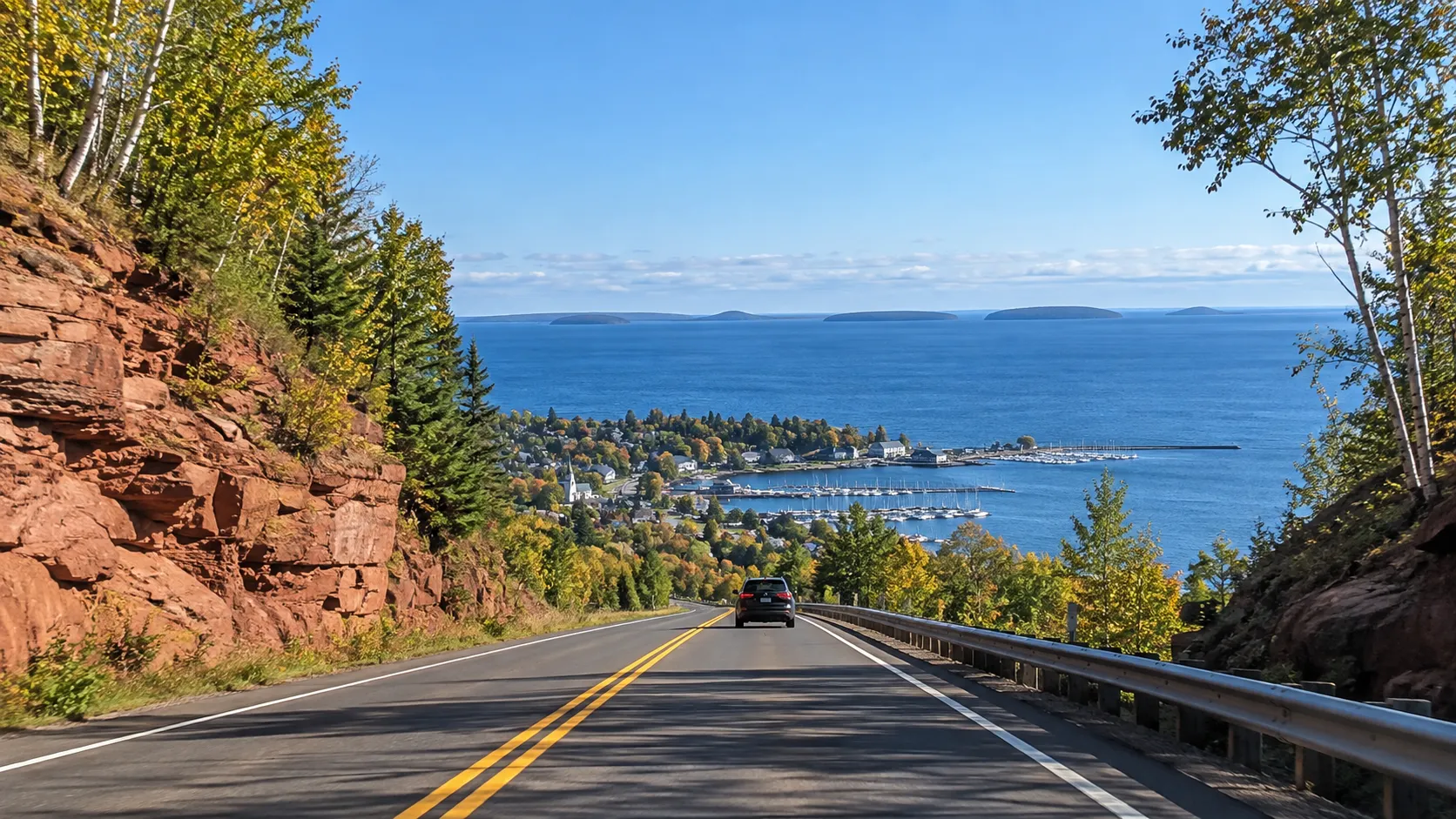
This is Wisconsin’s most rugged-feeling drive, with cold blue water, sandstone shoreline, waterfalls, and long stretches where the landscape sets the agenda. The state’s Lake Superior Scenic Byway follows 70 miles of Highway 13 around the Bayfield Peninsula.
A realistic Lake Superior itinerary
Begin around Superior with Amnicon Falls or Pattison State Park, then drive east toward Port Wing and Bayfield rather than racing all the way to Ashland. Give Bayfield two nights if an Apostle Islands boat trip is a priority, because wind and waves can change plans.
The National Park Service says the primary visiting months for Apostle Islands National Lakeshore are June through August, with reduced services during the rest of the year. It also warns that Lake Superior weather can change rapidly, so an island cruise or paddle should never be your only plan for that day.
Spend the final night near Ashland or Mellen and visit Copper Falls State Park before turning south. If you have another day, the Bois Brule River adds a paddling-focused detour, while the waterfalls near Duluth extend the trip west into Minnesota.
Tradeoff: Distances are longer and backup options are fewer than in Door County. Cell service can be patchy, water stays cold even in summer, and a motel close to your next morning’s activity is often worth more than a fancier room far away.
3. The Great River Road for Bluffs and River Towns
Route: Prescott, Pepin, Alma, Trempealeau, La Crosse, Prairie du Chien
Allow: 3 to 5 days
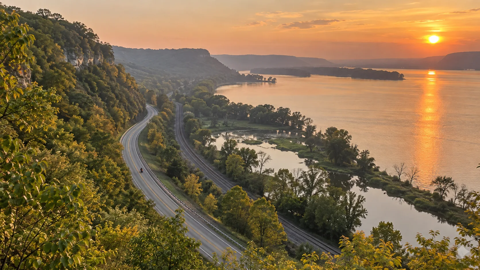
Wisconsin’s Great River Road follows Highway 35 for 250 miles through 33 river communities, according to the Wisconsin Department of Transportation. The route is simple to follow, but its overlooks, bakeries, historic sites, and waterfront walks turn a five-hour drive into several excellent days.
A realistic Great River Road itinerary
Start in Prescott and spend the first day around Lake Pepin, stopping in Stockholm and Pepin before staying near Alma or Wabasha across the river. Day two can include an overlook above Alma, a wildlife refuge stop, and an unhurried evening in La Crosse.
Continue south to Prairie du Chien on day three, where the river landscape feels broader and history becomes a bigger part of the trip. With four or five days, add hiking at Perrot or Wyalusing State Park and stay two nights in one place instead of unpacking every evening.
Tradeoff: The river is often beside you, but not continuously visible. Train noise and seasonal flooding can affect particular stops, so treat the official route as a spine and verify park, trail, and local road conditions close to departure.
4. The Driftless Area for Curving Roads and Quiet Towns
Route: Madison, Spring Green, Viroqua, La Crosse, Mineral Point
Allow: 3 to 4 days
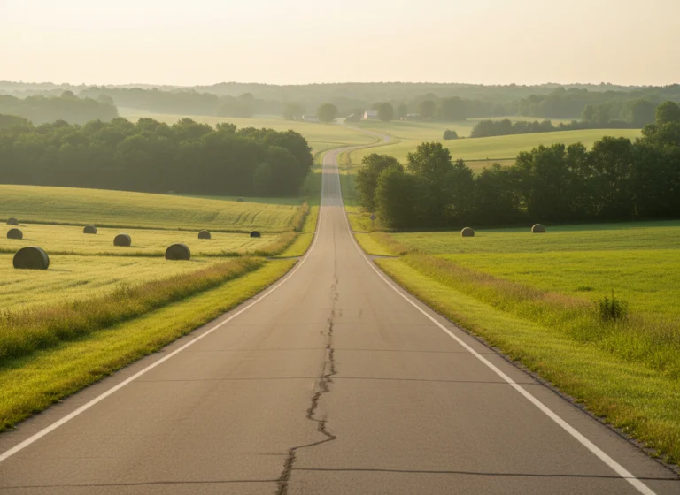
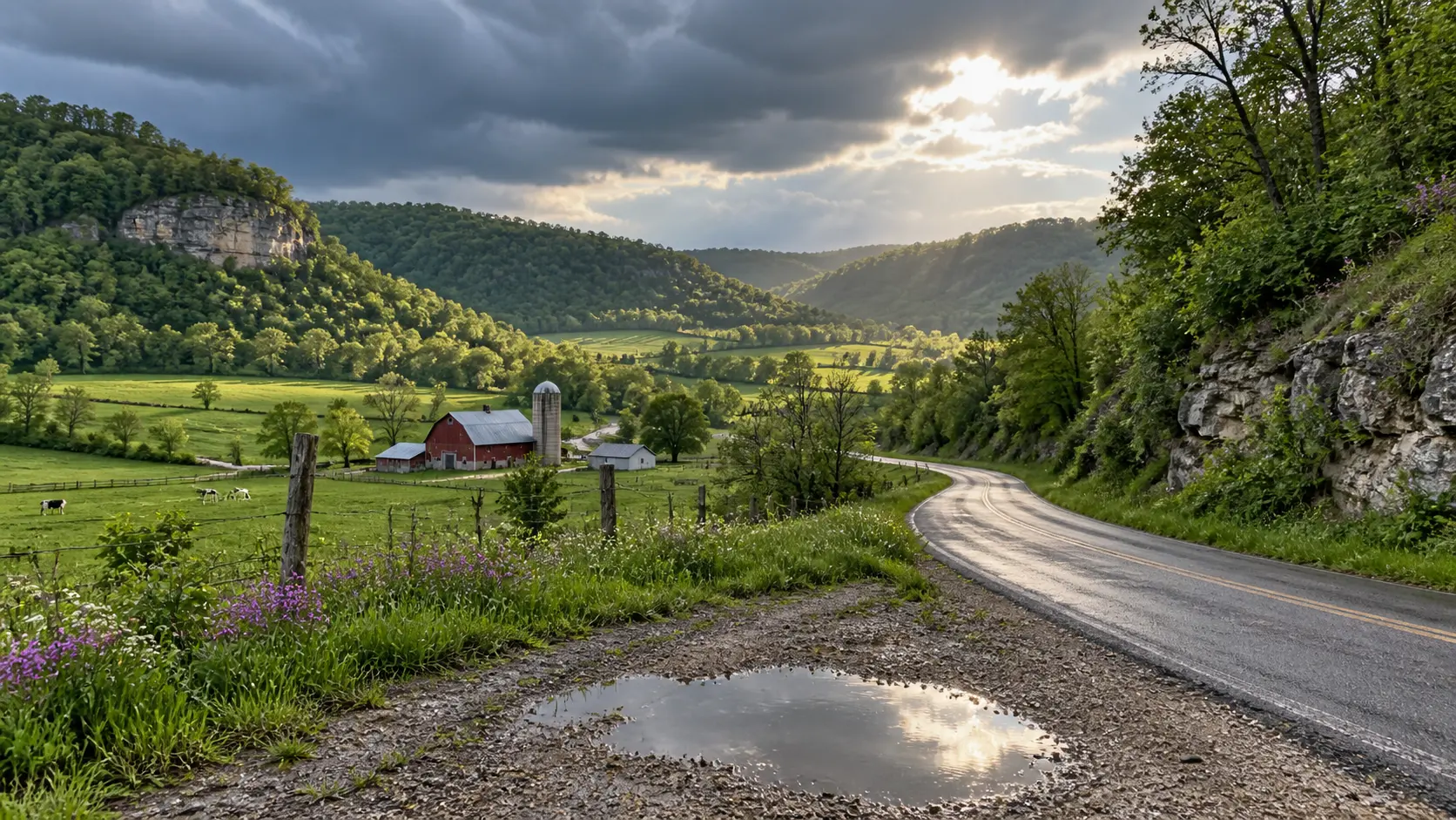
The Driftless Area is for travelers who care more about farm stands, ridgelines, architecture, and a beautiful two-lane road than headline attractions. It rewards slower planning because the most memorable stops are spread among river valleys and small communities.
A realistic Driftless itinerary
Start with Madison, then drive west to Spring Green for architecture, theater, or a Wisconsin River walk. Continue toward Viroqua for locally focused food and use it as a base for exploring the Kickapoo Valley and nearby country roads.
Finish in La Crosse for bluff and river views, or arc south through Mineral Point if galleries and preserved historic streets sound better. The 100-mile Lower Wisconsin River Road on Highway 60 can connect Lodi with Prairie du Chien, making a useful scenic framework without forcing a strict checklist.
Tradeoff: Public transportation is limited and deer are a serious dusk-and-dawn driving concern. Download maps, avoid squeezing remote roads into the dark, and confirm hours because small businesses may close earlier or take midweek days off.
5. Milwaukee to Door County for Cities and Lake Michigan
Route: Milwaukee, Port Washington, Kohler or Sheboygan, Manitowoc, Sturgeon Bay
Allow: 5 to 7 days
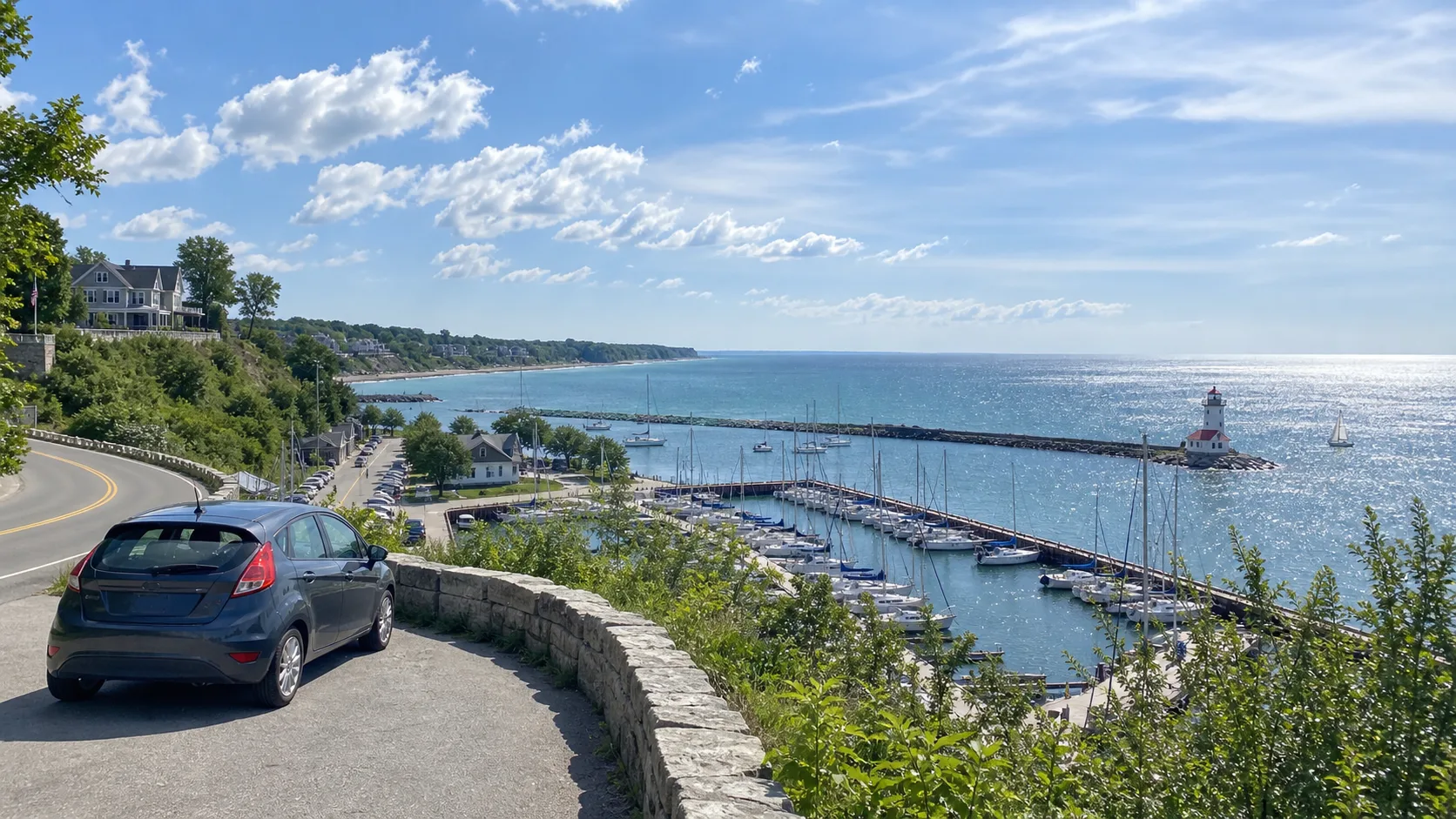
This route works beautifully for first-time visitors who want museums, restaurants, and breweries along with beaches and lighthouses. Fly into Milwaukee, spend two nights there, then travel north in short pieces along or near Lake Michigan.
Port Washington makes an easy harbor stop, while the Sheboygan area offers beach time and access to Kohler-Andrae State Park. Continue to Manitowoc for maritime history before finishing with two or three nights in Door County.
Do not assume every mile will hug the lake, since the fastest highway frequently runs inland. Pick one or two shoreline stops per day, and check the Lake Michigan shipwreck and dive-site overview if maritime history or cold-water diving is part of your trip.
Tradeoff: This itinerary has the most variety but also the most temptation to overplan. Seven days feels relaxed, while five days requires choosing either a deeper Milwaukee stay or more Door County time.
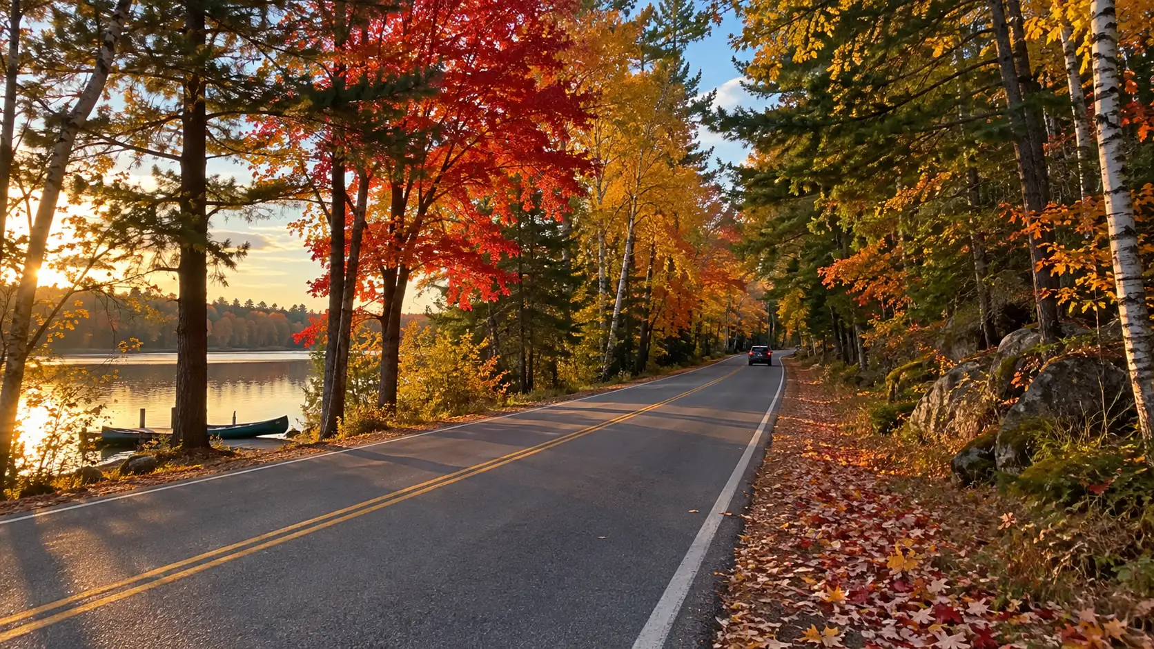
6. The Northwoods for a Fall Weekend
Route: Wausau, Tomahawk, Minocqua, Boulder Junction, Eagle River
Allow: 3 days
The Northwoods is less about a famous highway and more about lakes, forest roads, supper clubs, and cabins. It is particularly satisfying in fall, but color timing moves north to south and changes with weather each year.
Use Minocqua or Eagle River as a two-night base rather than switching cabins. Spend one day hiking, paddling, or biking and another on a loop through Boulder Junction and smaller lake communities, always leaving extra daylight for wildlife on the road.
Check the official Wisconsin Fall Color Report instead of booking around a generic “peak week.” In winter, this becomes a snow-first trip and requires flexible driving plans, appropriate tires, and active weather checks.
Tradeoff: Fall weekends book quickly, while shoulder-season services can shrink suddenly. A cabin kitchen and a full fuel tank give you useful flexibility when your first-choice restaurant is closed.
When to Take a Wisconsin Road Trip
Summer
June through August brings the widest range of tours, ferries, restaurants, and waterfront activities. It also brings higher lodging prices and crowds in Door County, Bayfield, and popular state parks, so reserve key nights and keep midweek travel in mind.
Fall
Late September through October can be spectacular, but color does not peak everywhere at once. Northern Wisconsin generally turns earlier than southern Wisconsin, making live county-level reports more useful than a fixed annual date.
Spring
Spring offers waterfalls and fewer crowds, along with muddy trails, chilly lakeshore wind, road construction, and variable opening dates. Build the trip around towns and scenic drives, then treat seasonal boat trips and park facilities as bonuses you confirm shortly before arrival.
Winter
A winter road trip can be gorgeous, but it is a different vacation rather than a cheaper version of summer. Short daylight, lake-effect snow, ice, and reduced services require smaller daily mileage and a willingness to cancel an exposed outdoor plan.
Wisconsin Road Trip Logistics That Matter
State park admission and camping
A vehicle admission pass is required for motor vehicles stopping at Wisconsin state parks, forests, and recreation areas. The Wisconsin DNR sells daily and 12-month passes, while camping requires a reservation before you set up and can be booked up to 11 months ahead.
If your route includes several parks, compare the current nonresident daily and annual prices rather than buying automatically at the first gate. Park offices and facilities may have different hours even when the property itself remains open.
How much driving is comfortable?
Plan on 100 to 180 miles on sightseeing days and more only on arrival or departure days. Wisconsin roads can look quick on a map, but a scenic byway filled with overlooks and town stops should be treated as the day’s activity.
What to keep in the car
- Offline maps and a charging cable
- Refillable water bottles and road snacks
- Layers and a rain shell, even in summer
- Insect repellent and sunscreen
- A small cooler for markets and picnic lunches
- A paper copy of lodging and ferry details
My Bottom Line
Choose one Wisconsin region and let the route breathe. Door County is the easiest all-around choice, Lake Superior wins for scale and wildness, the Great River Road is made for slow travel, and the Driftless Area is the quiet charmer you will want to revisit.
The best plan has two anchor activities each day, a sensible overnight base, and room for the roadside stop you did not know existed. That is exactly where Wisconsin is at its best.