Northern Wisconsin Travel Guide: Routes for Every Season
Northern Wisconsin is too large for one tidy weekend, so the best trip starts by choosing a landscape. Follow Lake Superior for cliffs and islands, build a Northwoods loop around lakes and forests, or make waterfalls and river country the entire point instead of zigzagging between all three.
Choose Your Northern Wisconsin Route
- Lake Superior route: Superior, Bayfield, Apostle Islands, Ashland, and optional Madeline Island
- Waterfall route: Pattison, Amnicon Falls, Brule River country, and Copper Falls
- Northwoods route: Minocqua, Manitowish Waters, Boulder Junction, Eagle River, and Rhinelander
- Forest and quiet-lake route: Chequamegon-Nicolet National Forest with one town base
- Winter route: one snow-ready hub with confirmed trails, rentals, and road conditions
A long weekend should cover one region, while five to seven days can combine Lake Superior with the western Northwoods. Drive times look modest on a map, but two-lane roads, wildlife, construction, and scenic stops slow the day.
Route 1: Lake Superior and the Apostle Islands
This is northern Wisconsin’s strongest first-trip route when cliffs, boats, beaches, lighthouses, and small waterfront towns matter most. Start in Superior or Duluth, follow the lake east toward Bayfield, and resist the urge to force the Northwoods into the same two-night weekend.
Superior and the Western Shore
Use Superior as a practical base for Pattison State Park, Amnicon Falls State Park, and the St. Louis River area. Duluth sits just across the state line and expands dining, museums, and lodging, but traffic at the bridge can affect timing.
A waterfall day works best after rain, although high water also makes rocks and banks more dangerous. Stay behind barriers and never treat a polished ledge as a photo platform.
The waterfalls in our Duluth-area waterfall planner can extend the route across the border. Keep Minnesota and Wisconsin park passes, parking rules, and trail conditions separate.
Bayfield
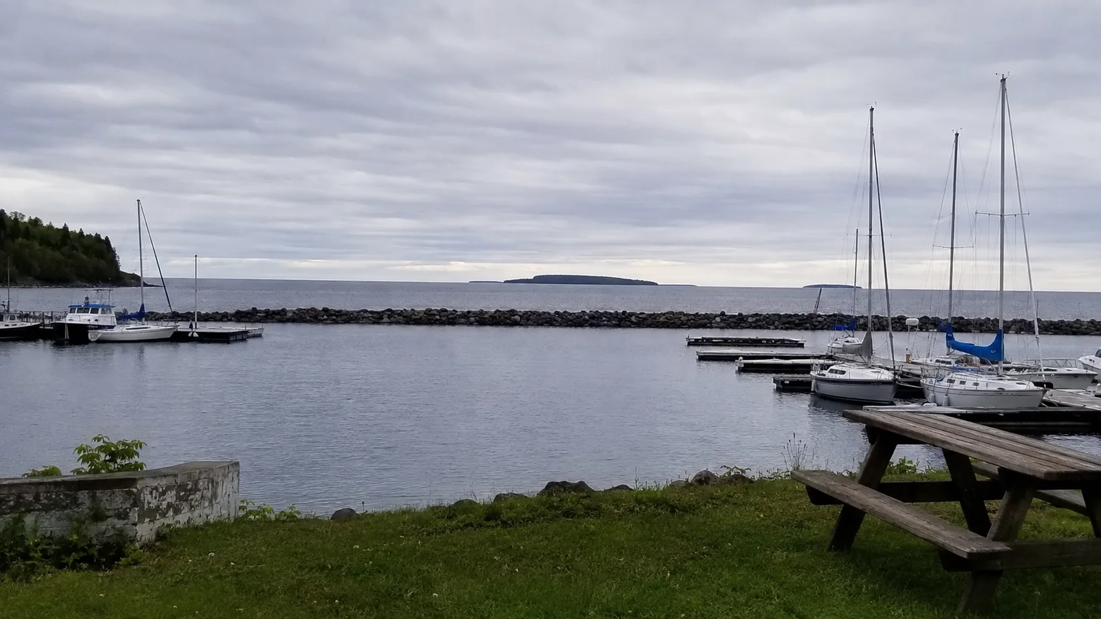
Bayfield is the mainland launch point for many Apostle Islands boat tours, paddling trips, and island transport. It is compact, but summer weekends and fall color can tighten parking and lodging availability.
Book the weather-dependent anchor first, then plan town time around it. A cruise cancellation should become a beach, museum, orchard, or hiking day rather than a ruined vacation.
Apostle Islands National Lakeshore
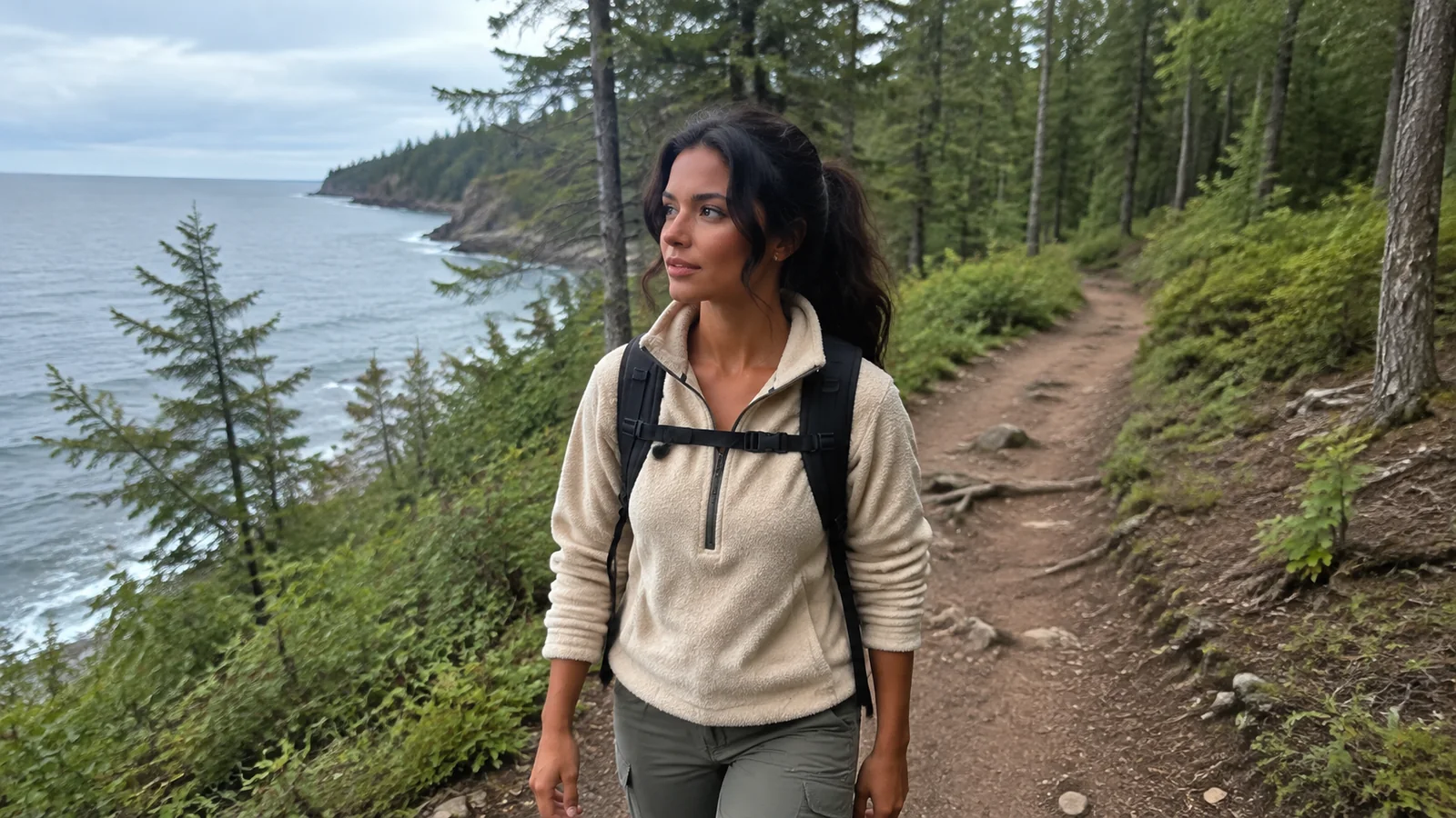
The Apostle Islands are not a roadside overlook, and most of the national lakeshore’s islands require a boat, water taxi, or capable sea-kayaking plan. The National Park Service’s current planning page emphasizes that Lake Superior weather changes rapidly and controls access.
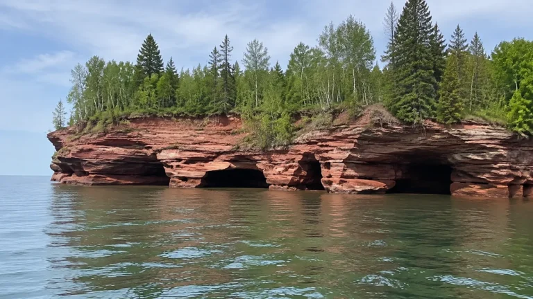
Mainland sea caves near Meyers Beach are reached by a hike and cliff-top viewpoints, while water access demands different skill. The park advises boaters to avoid caves in rough conditions, wear personal flotation devices, and never paddle the caves alone.
Lake Superior remains cold even in summer, and calm water can build quickly. Beginners should use an authorized guided trip rather than treating a recreational kayak as adequate sea equipment.
Madeline Island
Madeline Island is part of the Apostle Islands archipelago but is not inside Apostle Islands National Lakeshore. A car-and-passenger ferry connects Bayfield with La Pointe during the operating season, subject to weather and ice.
The ferry company’s current schedule changes through the year and may add service for events. Decide whether to take a vehicle based on island plans, ferry lines, cost, and mobility rather than assuming it is automatically necessary.
Leave enough margin for the return queue, especially with a car. The final ferry is not the right target for a traveler with a fixed hotel check-in or long drive afterward.
Route 2: The Waterfall and River Loop
This three-to-four-day loop joins Superior-area falls, the Bois Brule River, and Copper Falls State Park. It works for hikers and photographers who prefer moving water to boat schedules.
Pattison and Amnicon Falls
Pattison State Park centers on Big Manitou Falls and nearby trails, while Amnicon Falls offers several cascades in a compact park. Trail access, bridges, construction, and winter maintenance can change, so verify Wisconsin DNR park conditions and admission requirements.
Waterfall spray makes stairs and rock surfaces slippery. Keep children close, obey closures, and bring traction appropriate to the season.
Bois Brule River
The Bois Brule has sections suited to different paddling skill levels, from calmer water to rapids that deserve experience and current river knowledge. Our Bois Brule kayaking guide helps separate route choice, shuttles, cold water, and takeout logistics.
Wear a properly fitted personal flotation device and dress for water temperature. A sunny air forecast does not make a cold northern river harmless.
Copper Falls State Park
Copper Falls adds gorge scenery, forest trails, and waterfalls near Mellen, making it a strong eastern finish to the loop. It is not beside Bayfield, so allow a real driving block instead of squeezing it between a boat tour and dinner.
Popular loops include stairs and uneven surfaces, and winter access differs from summer. Check maps and current notices before choosing the route for your group.
Route 3: The Classic Northwoods Loop
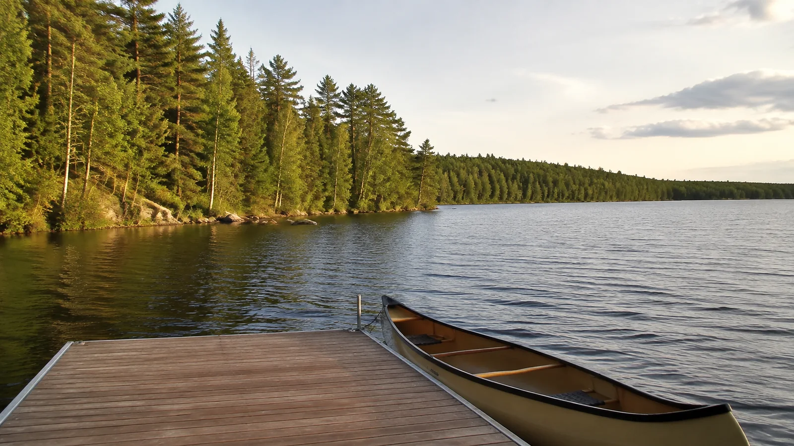
This route is about lakes, paddling, biking, fishing, supper clubs, and unhurried town stops rather than one blockbuster sight. Choose Minocqua or Eagle River as a base, then add Boulder Junction, Manitowish Waters, or Rhinelander according to interest.
Minocqua and Nearby Lakes
Minocqua provides a broad visitor-service base with lake access, outfitters, groceries, and wet-weather alternatives. Summer traffic and weekend parking can be busy, so stay close to the activities you will repeat rather than choosing lodging solely by nightly rate.
Rent boats from an operator that gives a genuine safety and navigation briefing. Confirm fuel, damage policy, required equipment, no-wake areas, and what weather triggers a cancellation.
Boulder Junction and Manitowish Waters
These communities suit travelers who want trails and chain-of-lakes access with less big-resort energy. Distances between dinner, lodging, trailheads, and launches can still be meaningful after dark.
Download maps and do not count on continuous cellular coverage. Tell someone the route when paddling or riding away from populated areas.
Eagle River and Rhinelander
Eagle River is a useful eastern Northwoods hub for lake trips and winter recreation, while Rhinelander offers larger-town services and regional road connections. Pair them when practical rather than driving the same corridor repeatedly.
Event weekends can change availability and traffic. Check municipal and organizer calendars before assuming a quiet small-town visit.
Route 4: Chequamegon-Nicolet National Forest
The national forest spans a huge, noncontinuous landscape, so “visit the forest” is not a route. Choose one ranger district or recreation cluster based on hiking, mountain biking, camping, fishing, or quiet lake access.
The Forest Service posts current conditions for roads, trails, fire, weather, and seasonal facilities. Spring thaw, storms, logging traffic, maintenance, and prescribed fire can all change access.
Camp only where allowed, follow food-storage guidance, and check fire restrictions before striking a match. Buy firewood locally or follow state movement rules to reduce pest spread.
Best Time to Visit Northern Wisconsin
Late Spring
Late spring brings active waterfalls, fewer summer crowds, blackflies, ticks, mud, and cold water. Some forest campgrounds, seasonal businesses, and island services may not yet be fully open.
Memorial Day weekend is not a guarantee that every trail has dried or every boat is running. Check each managing agency and operator before the drive.
Summer
Summer offers the broadest boat, ferry, campground, and attraction schedules. It also brings mosquitoes, weekend demand, thunderstorms, road construction, and water that remains cold enough to punish careless paddlers.
Reserve lodging and signature tours early, then keep a weather-flexible day. Do not lock every morning and afternoon into prepaid outdoor activities.
Fall
Fall is ideal for color, cool hiking, and quieter weekdays, but peak timing moves by latitude, elevation, species, and weather. Never book a nonrefundable trip around an exact “peak color” prediction months ahead.
Services and ferry frequencies may taper while daylight shrinks. Carry layers, confirm restaurant hours, and avoid driving unfamiliar forest roads late simply to chase one more viewpoint.
Winter
Winter supports skiing, snowshoeing, ice fishing, and snowmobiling when conditions allow. Trail opening, lake ice, grooming, and rental schedules require same-week confirmation.
Never infer safe ice from tracks, social posts, or cold air alone. Apostle Islands ice caves open only when the National Park Service determines access conditions are suitable, and many winters never produce a public opening.
A Realistic Five-Day First Trip
- Day 1: Arrive in Superior, then choose Pattison or Amnicon Falls based on time and conditions.
- Day 2: Follow the Lake Superior shore with a Brule River stop and reach Bayfield.
- Day 3: Take an Apostle Islands boat or guided paddle, with a mainland weather backup.
- Day 4: Visit Madeline Island or stay on the mainland for hiking, orchards, and beaches.
- Day 5: Continue to Copper Falls or return west with a relaxed Ashland stop.
This plan leaves the central Northwoods for another trip. Adding Minocqua would create more windshield time than vacation for most five-day schedules.
Where to Stay Without Chasing “Best” Hotels
Choose a base by the activity that starts earliest. Bayfield suits island departures, Superior suits western waterfalls, Minocqua suits a lake-centered loop, and Eagle River suits the eastern Northwoods.
Verify parking, air conditioning, stairs, breakfast hours, boat-trailer space, pet rules, and cancellation terms directly with the property. Seasonal staffing and renovation make old praise less useful than current logistics.
Northern Wisconsin Safety and Packing
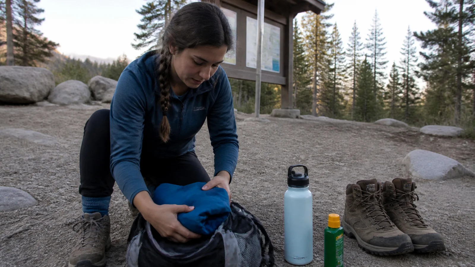
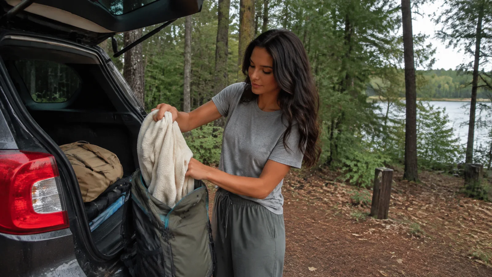
- Waterproof shell and warm layer, even in summer
- Insect repellent, tick checks, and sun protection
- Offline maps, charging cable, and car power adapter
- Proper personal flotation device for every paddler
- Water, snacks, and a basic roadside kit
- Traction and warm emergency gear for winter
Fuel before remote stretches and watch for deer, especially around dawn and dusk. Our Wisconsin road-trip planner covers broader route-building and realistic driving habits.
Scuba travelers should treat the Great Lakes as cold-water environments requiring training and local support. The Lake Michigan diving guide explains why certification, charter rules, and protected wrecks matter even though this route focuses farther north.
My Bottom Line
For a first northern Wisconsin trip, choose the Lake Superior route and give Bayfield enough time for a weather backup. Choose the Northwoods loop when lakes, cabins, paddling, and slow evenings matter more than famous landmarks.
The region rewards focus. One shoreline, one forest district, or one chain of lakes will feel richer than a heroic loop that spends every sunset looking through a windshield.