Bois Brule River Kayaking: Routes, Rapids and Safety
The Bois Brule is not one uniform Wisconsin float.
Its 44 miles shift from narrow, spring-fed upper water to meanders, riffles, ledges, demanding rapids, and a Lake Superior finish, so choosing the correct section matters more than choosing the prettiest launch photo.
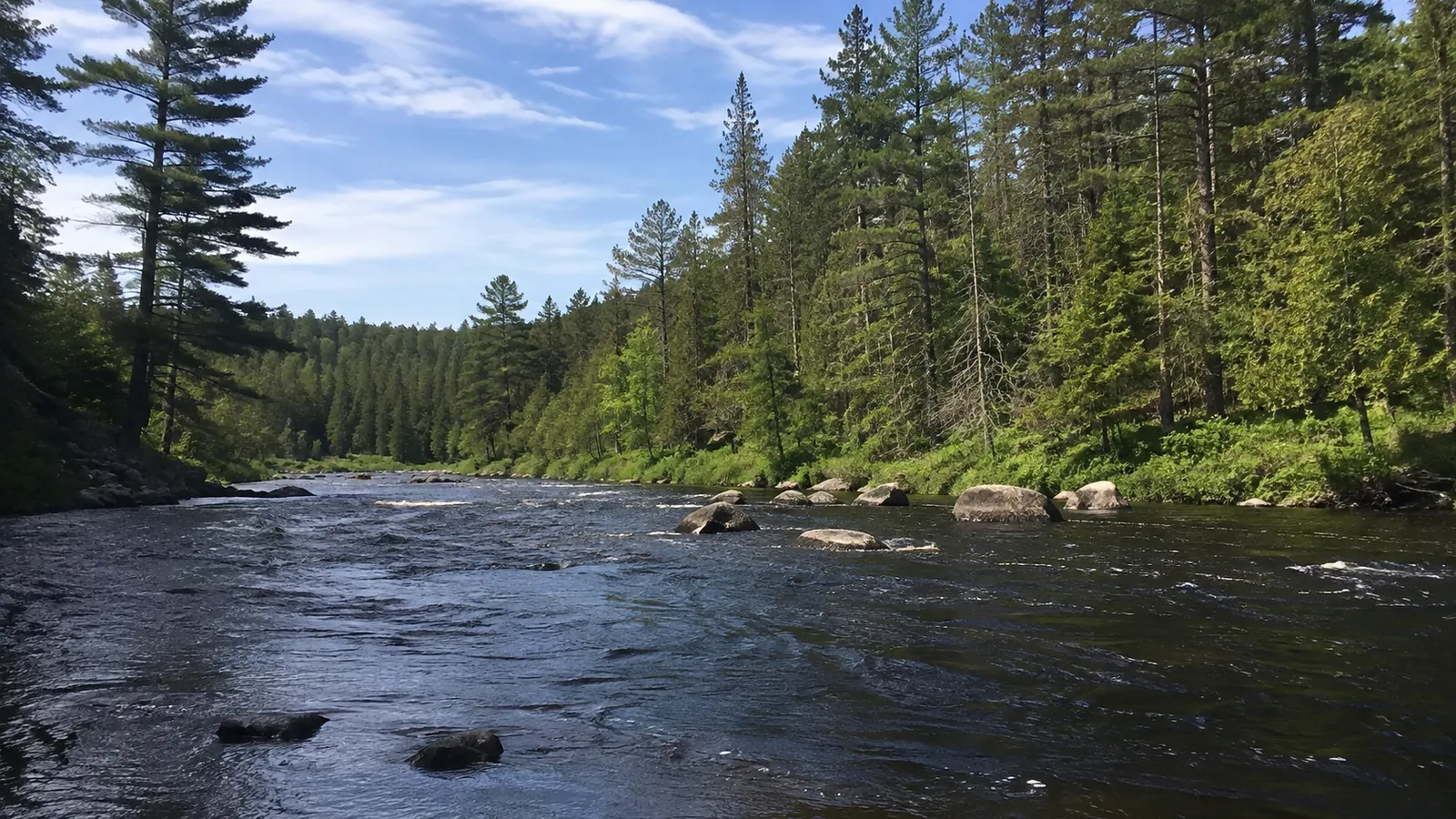
Is the Bois Brule River Good for Kayaking?
Yes, for paddlers who match the route to their moving-water skills and arrange the shuttle before launching. Beginners should start with the easier upper river, while confident whitewater paddlers may target the lower sections only after checking current flow, hazards, and local guidance.
Folks uses both “Bois Brule River” and “Brule River” for this northwestern Wisconsin waterway. All 44 river miles lie within Brule River State Forest, but the banks include sensitive habitat and private-property considerations that make designated access essential.
If this trip is one stop in a bigger vacation, my Upper Midwest road-trip route helps keep northern Wisconsin driving realistic. Brule is roughly a day-trip distance from Duluth-Superior, while Madison, Milwaukee, and Chicago require a separate travel day for most visitors.
Choose Your Bois Brule Section First
Paddle times are useful planning estimates, not promises. Stops, swims, scouting, strainers, low or high water, a capsize, group size, and boat control can make the same segment much slower.
Stones Bridge to Winneboujou: Best First Brule Trip
The upper river from Stones Bridge to Winneboujou is easygoing and manageable for a broad range of paddlers. I estimate about four hours between landings, making this the cleanest starting point for a first Bois Brule day.
“Easygoing” still means current, turns, submerged objects, overhanging branches, cold water, and no convenient pause button. A first-time kayaker should learn basic strokes, wet-exit expectations, and boat control before putting a family group on moving water.
This section rewards travelers who want woods, river history, and scenery without committing to the lower whitewater. It is also popular, so a summer weekend can feel less secluded than the photographs suggest.
Winneboujou to Bois Brule Landing: Short but Not Flat
I would say you could expect to take roughly 45 minutes from Winneboujou to the Bois Brule Picnic Area and canoe landing. This continuation includes Little Joe Rapids, which the agency calls a modest Class II rapid.
A short route is not automatically a beginner route, because difficulty comes from features and consequences rather than mileage. Ask the outfitter whether current conditions and your specific boat make this continuation appropriate.
Winneboujou to Highway 2: A Compact Moving-Water Option
From Winneboujou to Highway 2 is about 1.25 hours, including the stretch past the picnic-area landing. This can suit experienced paddlers seeking a compact outing, but it should not be sold to a nervous novice simply because lunch can follow quickly.
Know exactly which landing ends the trip and what it looks like from the water. Missing a takeout on a moving river creates a very different day, especially when the next section is longer.
Highway 2 to Pine Tree: Longer and More Meandering
The four-hour you will spend kayaking from Highway 2 to Pine Tree covers a longer middle-river experience. Meanders and slower-feeling water may reduce the whitewater intensity, yet downed trees, tight bends, wind, and changing flow still demand attention.
This is the choice for paddlers who prefer a longer nature day over a rapid-focused run. Bring enough food and water, then secure everything so an upset boat does not scatter lunch and plastic downriver.
Pine Tree to Highway 13: The Whitewater Commitment
North of Pine Tree Landing nearly continuous riffles, ledges, and rapids before Highway 13, with a paddle time of five hours. This is not the section for learning how to steer a recreational kayak.
Current water level can change the lines, speed, difficulty, and consequences. Experienced paddlers should use appropriate boats and protective equipment, scout when necessary, travel with capable partners, and obtain current local advice.
Highway 13 to Lake Superior: Do Not Ignore the Finish
I estimate about four hours from Highway 13 to the river mouth, but the route includes changing river features and an arrival at Lake Superior. The lake can be cold, windy, foggy, or rough even when the river feels protected.
Confirm the current takeout, any barrier or portage instructions, shoreline conditions, and shuttle plan with the forest or an experienced local outfitter. Reaching open water is not permission to paddle farther when waves, wind, or visibility say stop.
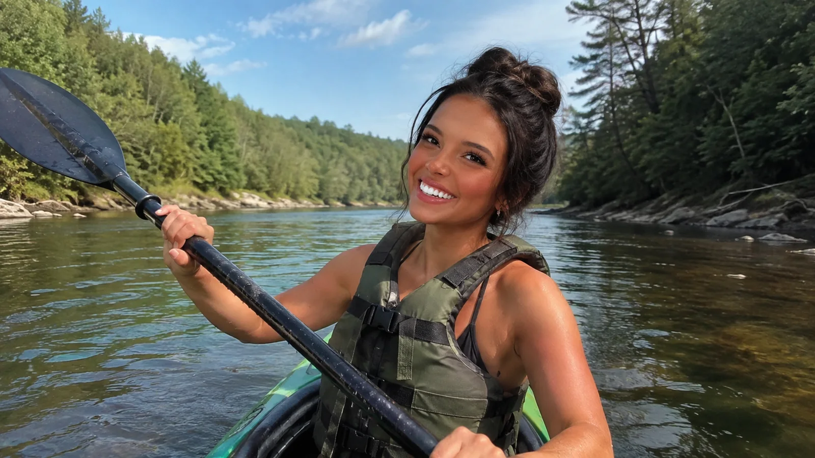
Use the Official Route Times and Map Together
The Wisconsin DNR paddling page lists the current rules and approximate time between primary landings. Pair it with the agency’s Brule River State Forest maps, then download the relevant north or south map before leaving cell service.
Mark the launch, takeout, intermediate escape points, road approach, and vehicle location. Send that information and an overdue-call time to someone who is not on the river.
Do not rely on a phone map that requires a data connection. A waterproof paper copy or genuinely offline map remains useful after a dropped phone, soaked battery, or weak signal.
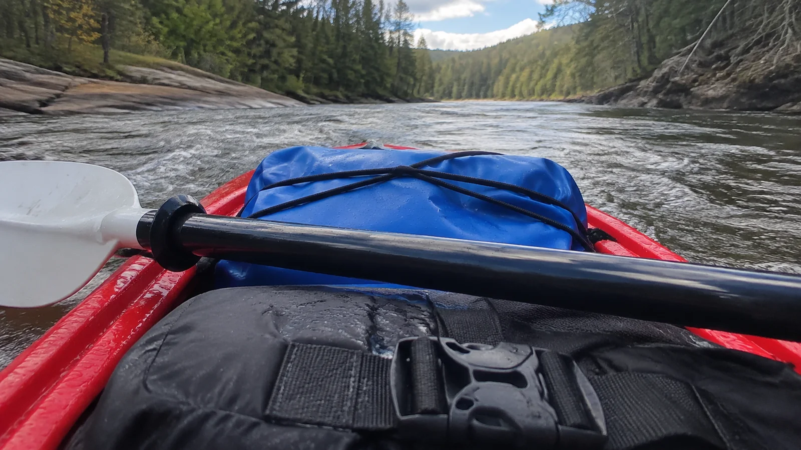
Check Water Level, Weather, and Temperature
The lower river can rise quickly after rain or snowmelt, increasing speed and danger. The DNR directs paddlers to the USGS Bois Brule gauge, but a number on a graph is not a universal green light.
Ask the outfitter or forest office how the current reading affects your chosen segment and boat. A gauge near Brule may not describe every rapid, obstruction, tributary, or Lake Superior condition.
Check air temperature, water temperature, rainfall, wind, lightning risk, and sunset. Cotton, flip-flops, and a sunny forecast at home are not a cold-water safety system.
Spring
Spring can bring powerful flow, very cold water, debris, and fast-changing conditions. It belongs to properly equipped paddlers who understand cold shock and have current river information.
Summer
Summer offers longer daylight and the broadest outfitter availability, along with crowds, insects, heat, and thunderstorms. Start early enough to finish without racing afternoon weather or closing logistics.
Fall
Fall color can make the river gorgeous, but shorter days and cooling water narrow the margin for a slow group. Confirm seasonal shuttle and rental schedules rather than assuming summer operations continue.
What Kind of Kayak Should You Use?
A stable recreational kayak can suit easier sections when the outfitter approves it for current conditions. The whitewater stretch calls for a craft and paddler designed for maneuvering through rapids, not a long open-water boat chosen because it tracks beautifully on a lake.
Canoes can be appropriate on much of the river in skilled hands, but two paddlers need coordinated strokes and a plan for kneeling, bracing, and recovering gear. Stand-up paddleboards and inflatable tubes are not substitutes for suitable river craft.
The DNR prohibits inflatables and motorized watercraft on the river, with a limited motorized exception near the mouth. Renting locally simplifies the boat decision because the outfitter can match the craft, route, shuttle, and current conditions.
Wear the PFD, Do Not Just Carry It
Wisconsin requires an approved wearable personal flotation device for each occupant on the Bois Brule. The broader Wisconsin DNR life-jacket page explains statewide equipment rules, but wearing a properly fitted PFD is the practical choice on moving water.
A jacket strapped behind the seat is nearly useless during a sudden capsize. Tighten it before launch, confirm it cannot ride over the wearer’s head, and keep it on through calm pools as well as rapids.
- Wear a properly fitted paddling PFD.
- Dress for water temperature and carry dry layers.
- Use a helmet on whitewater where current guidance calls for one.
- Secure food, keys, medication, and communication devices.
- Carry a basic first-aid and repair kit appropriate to the group.
- Avoid alcohol and any drug that slows judgment or reaction.
Know the Bois Brule River Rules
Launch and land only at designated canoe landings, respect private property, pack out all waste, and camp only in designated state campgrounds. Glass bottles are prohibited, and other beverage containers and litter must be secured inside a larger container fastened to the craft.
Keep voices low near anglers, cabins, wildlife, and other paddlers. The river is a shared trout stream and protected corridor, not a floating party route.
A vehicle admission sticker is required at the state forest, while rentals, shuttles, and campsites are separate costs. Verify current passes and parking rules rather than treating the absence of a launch fee as a free trip.
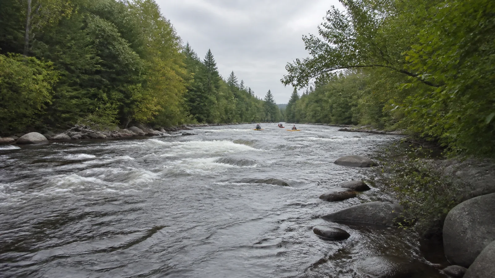
Reserve the Shuttle Before the Kayak
The simplest first trip uses a local outfitter for boat selection, route advice, launch timing, and transportation. Confirm which landing the service uses, where your vehicle stays, the last pickup, cancellation rules, minimum age, weight limits, and what equipment is included.
Private groups using two vehicles should stage the takeout car before launching and keep its keys securely on a person. Do not hide keys at a public landing or discover after five hours that the only driver left their key upstream.
Build at least an hour of daylight margin beyond the quoted paddle time. A family photo stop, swim, capsize, missing paddle, or blocked line can erase an optimistic schedule surprisingly fast.
Camping Near the Bois Brule River
Bois Brule and Copper Range campgrounds both provide river access, hand-pump water, and vault toilets, but neither has electric sites. The DNR says all sites at both campgrounds are reservable on its current camping page.
Limited cell service makes an offline confirmation, campsite map, and check-in plan important. Treat campground water availability, fire restrictions, quiet hours, and seasonal facilities as details to recheck near arrival.
Camping beside the river does not authorize camping on any appealing bank during the paddle. Multi-day plans must connect legal campgrounds, landing times, gear security, and an exit plan rather than rely on finding a spot.
A Practical Two-Night Brule Weekend
Arrive Friday with daylight, check the landing approaches, confirm the shuttle, and sleep near Brule. Paddle Stones Bridge to Winneboujou on Saturday, leaving enough energy for dinner and gear drying.
Use Sunday for the 1.7-mile Stoney Hill Nature Trail, a shorter approved paddle, fishing with the required license, or Lake Superior shoreline time. Ellie’s Wisconsin day-trip ideas can fill a weather-canceled paddle without sending you hours out of route.
Couples who want the Northwoods without whitewater can pair an easy upper-river trip with a quiet cabin. Ellie’s Wisconsin romantic getaways offers alternatives if paddling is only one person’s idea of romance.
Who Should Not Kayak the Bois Brule?
Skip the trip when the chosen section exceeds your skills, current flow is unsafe, thunderstorms are likely, suitable cold-water gear is unavailable, or the shuttle cannot be confirmed. Also reconsider when a child cannot wear a properly fitted PFD or a paddler cannot enter and exit the boat safely.
Do not let a nonrefundable rental push the group onto dangerous water. A forest hike, picnic, fishing plan, or Lake Superior viewpoint is cheaper than a rescue.
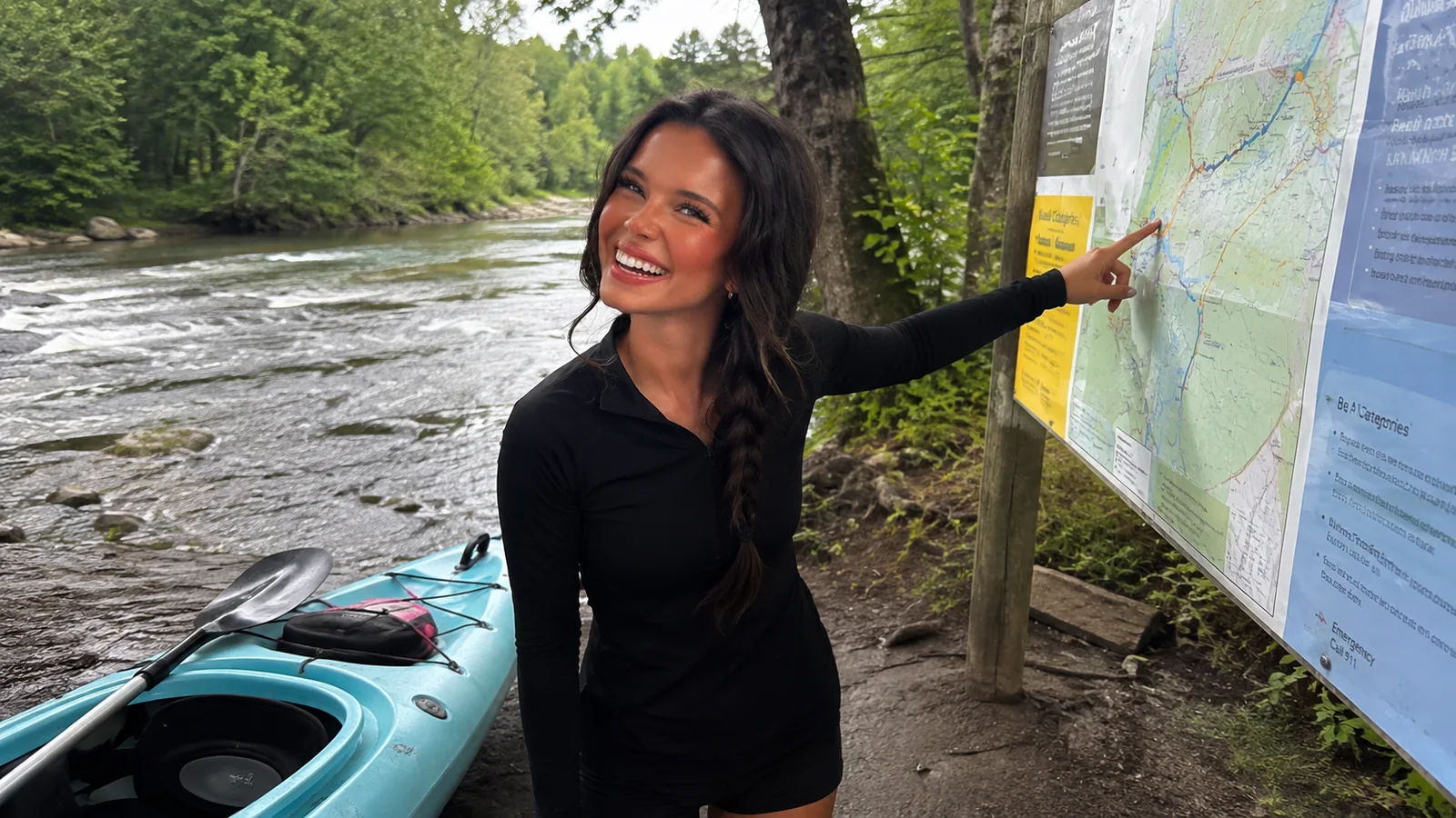
My Bois Brule Recommendation
For a first visit, book a local shuttle and paddle Stones Bridge to Winneboujou under suitable conditions. It delivers a meaningful half-day on the river without pretending every visitor needs the lower Brule’s continuous rapids.
Experienced whitewater paddlers can earn a very different day north of Pine Tree, but experience does not replace a same-day condition check. Choose the section humbly, wear the PFD, download the map, and make the takeout plan before the river starts moving you.