Tuktoyaktuk, Northwest Territories: Community, Highway, and Pingo Planning
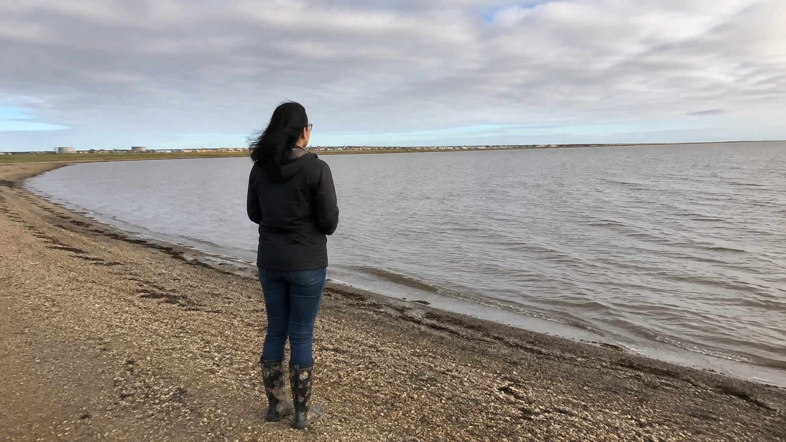
Tuktoyaktuk is not merely the sign at the end of a famous highway. This Inuvialuit community on the Arctic coast rewards travelers who arrive prepared, stay long enough to listen, spend locally, and understand that limited services and fast-changing conditions are part of the trip.
Is Tuktoyaktuk Worth Visiting?
Yes, for travelers drawn to living northern culture, tundra landscapes, and a road journey that feels genuinely consequential. It is a poor fit for anyone expecting a polished attraction complex, spontaneous luxury, or a quick trophy photo with no interest in the community.
The drive from Inuvik reaches Canada’s Arctic coast, but the best reason to make it is what you learn after arrival. A locally guided community tour adds far more value than racing to the water and turning around.
- Best for: Arctic road trips, Inuvialuit culture, local storytelling, and unusual landscapes
- Best first season: Summer, when road access and visitor services are easiest to plan
- Suggested time: One or two nights in Tuktoyaktuk, plus time in Inuvik
- Best shortcut: Fly to Inuvik and arrange a tour or suitable rental vehicle
- Biggest mistake: Treating Highway 10 like an ordinary paved day drive
Know Where You Are Visiting
Tuktoyaktuk, often called Tuk, is an Inuvialuit community in the Inuvialuit Settlement Region. People live, work, hunt, harvest, raise families, and maintain culture here, so visitors are guests in a community rather than explorers discovering an empty frontier.
Use official visitor information and hire a local licensed operator when possible. Ask before photographing people, homes, food preparation, cultural activities, or harvesting, and never assume a social-media location tag makes private land public.
Spending on an overnight stay, tour, meal, or locally made art leaves more benefit than a fuel stop and a sign photo. Confirm what is actually offered for your dates because small operators may work seasonally or by advance arrangement.
How to Reach Tuktoyaktuk
Fly to Inuvik, then travel north
The simplest plan for many visitors is to fly to Inuvik and use it as the transport and supply base. From there, Highway 10 runs approximately 86 miles to Tuktoyaktuk across open tundra.
Do not assume every rental car can use the highway. Get written confirmation for gravel-road use, tire coverage, roadside assistance, mileage, and recovery costs, or book a local driver-guide who knows the route.
Drive the Dempster Highway
Reaching Inuvik from the south requires the Dempster Highway, a long gravel route beginning near Dawson City. The broader Yukon planning guide explains why fuel, tires, communications, weather, and rental permissions need their own corridor plan.
The Northwest Territories describes Highway 8 as gravel except for its final stretch and notes two river crossings on the route to Inuvik. Ferries serve those crossings in warmer months and ice crossings can operate in colder conditions, leaving transition periods when through-driving may not be possible.
Check DriveNWT for current roads, closures, construction, ferries, and ice crossings, then check again before each remote leg. Highway status can change after the itinerary leaves your printer.
If Dawson is part of the route, give it real time rather than using it only as a fuel point. This Dawson City itinerary helps separate the town visit from the multiday Dempster commitment.
Highway 10 is short only on paper
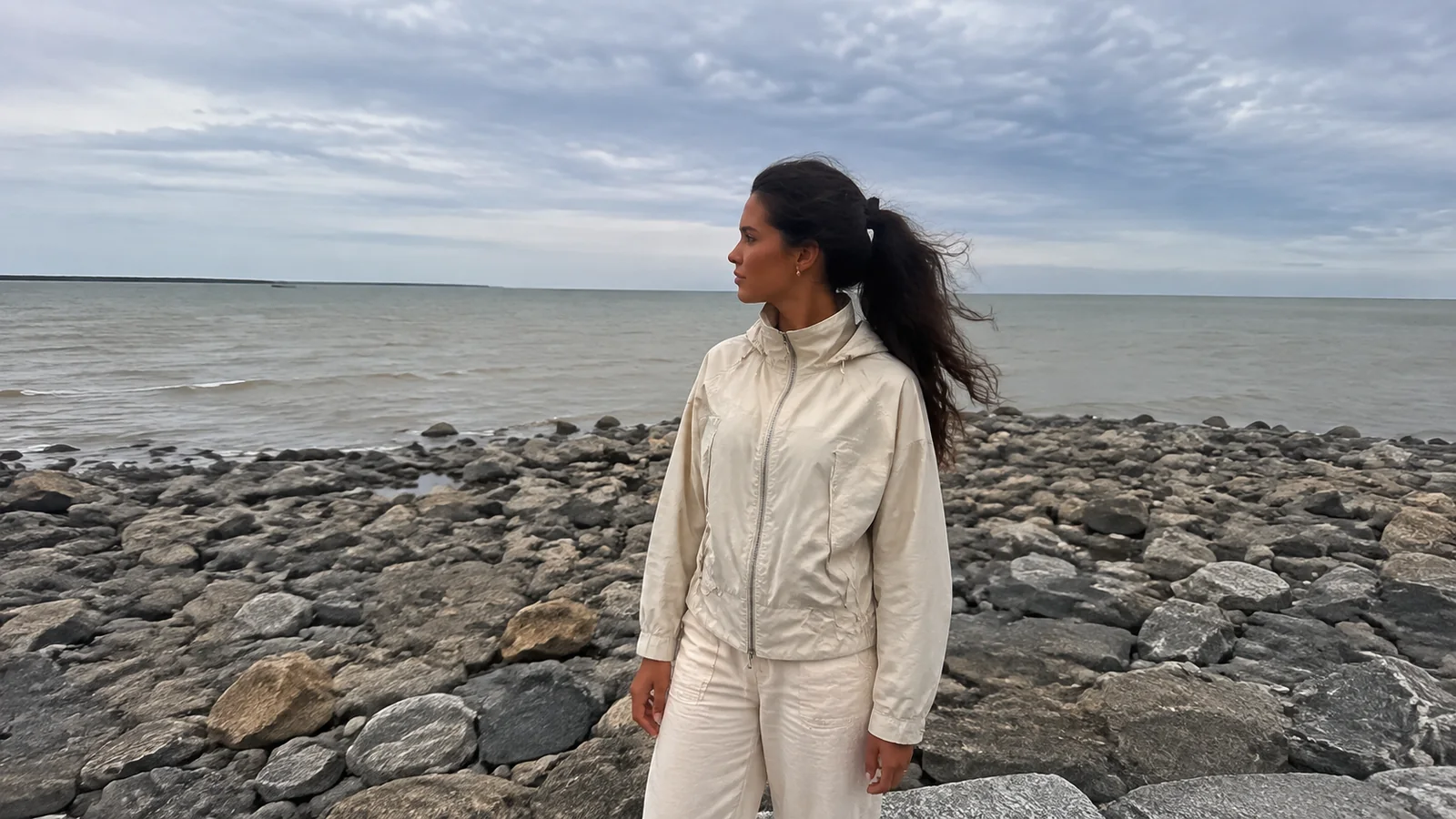
The Government of the Northwest Territories identifies Highway 10 as a gravel road and warns of a long distance between service centers. Loose gravel, soft shoulders, dust, construction, wildlife, visibility, and tire trouble can make the 86-mile drive slower than expected.
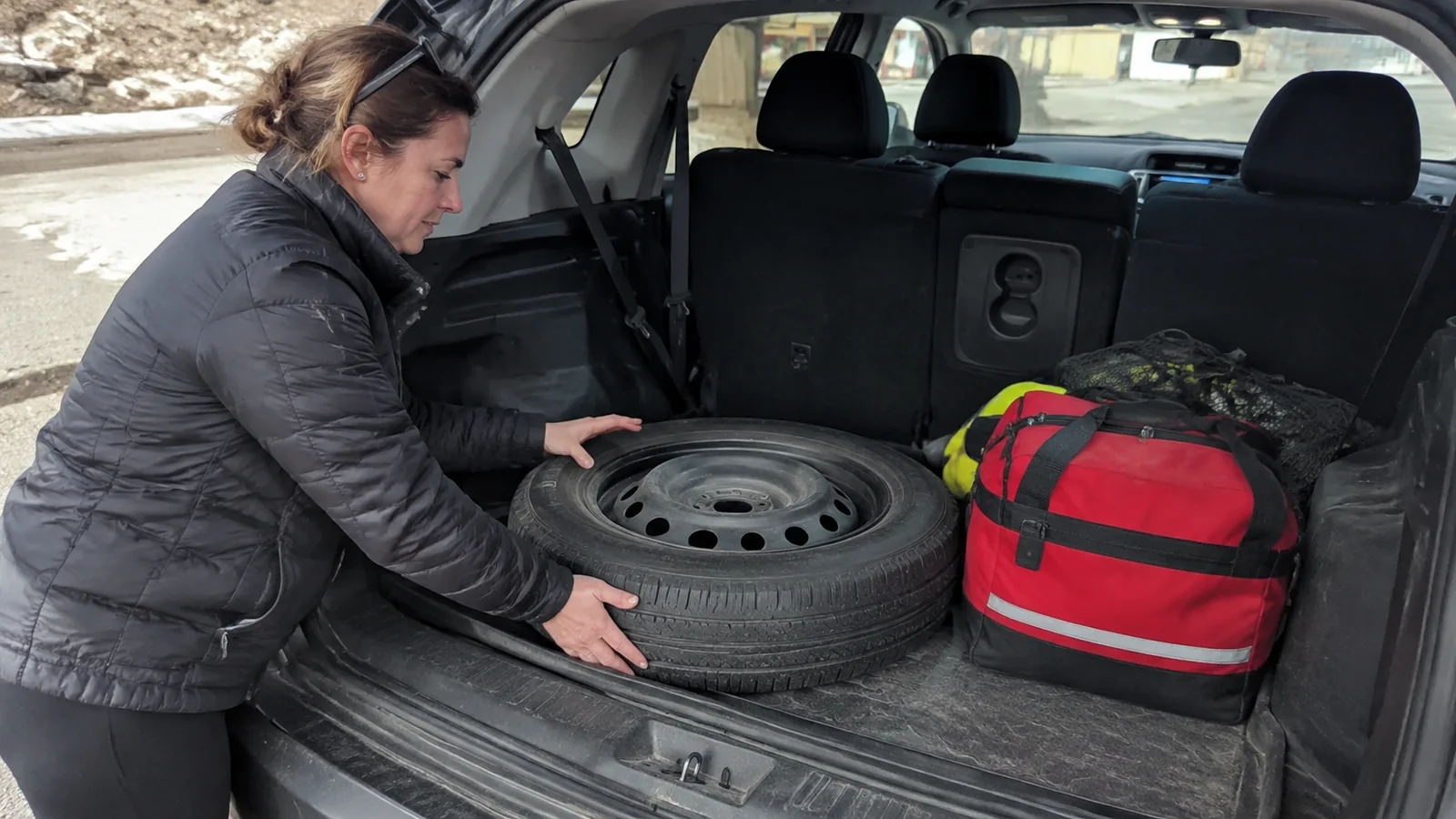
Start with enough fuel, water, food, warm clothing, and vehicle supplies for a delay. Keep offline maps and tell a reliable person your route, while recognizing that a satellite communicator is useful only when you understand its coverage and operation.
Best Time to Visit Tuktoyaktuk
Summer is the practical first choice
June through August usually offers the most workable visitor plan, with long daylight and seasonal services. Summer can still bring cold wind, rain, fog, insects, muddy surfaces, wildfire smoke farther south, or road advisories.
Pack for the Arctic coast rather than the calendar on your phone. A warm insulating layer, windproof rain shell, hat, gloves, sturdy shoes, and insect protection belong in the car even on a bright day.
Fall has darker skies and fewer certainties
Late summer and fall bring increasing darkness, which creates a possibility of northern lights. Cloud, solar activity, and local conditions control the show, while businesses and tours may reduce operations as the season changes.
Do not book a long Arctic journey solely for an aurora photograph. Build the trip around culture, coast, tundra, and local interpretation so an ordinary cloudy night still belongs in a good itinerary.
Winter needs experienced planning
Winter travel involves extreme cold, short daylight, changing ice conditions, and much less tolerance for mechanical trouble. It is not an economical substitute for summer and should be built with current local expertise.
Never assume a frozen river, shoreline, or informal track is safe because another vehicle used it. Only official openings, conditions, local guidance, and a properly equipped plan should determine travel.
What to Do in Tuktoyaktuk
Take a local community tour
A community tour can connect place names, Inuvialuit history, modern life, food, and the changes brought by whaling, the DEW Line, industry, and the all-season highway. That context is the difference between seeing objects and understanding a place.
Northwest Territories Tourism lists current experiences and operators on its official Tuktoyaktuk page. Contact an operator directly to confirm licensing, dates, price, group size, mobility needs, and what the tour includes.
Stand at the Arctic Ocean thoughtfully
Reaching the coast is moving without needing to turn it into a stunt. Dip a toe only where local guidance says access is appropriate, and skip full immersion unless a qualified local operator has addressed conditions and cold-water risk.
Cold water can impair movement and breathing quickly, while shore ice, wind, waves, and footing add hazards. Keep children close, respect barriers and private areas, and do not climb coastal features for a more dramatic photograph.
Understand the pingos before approaching them
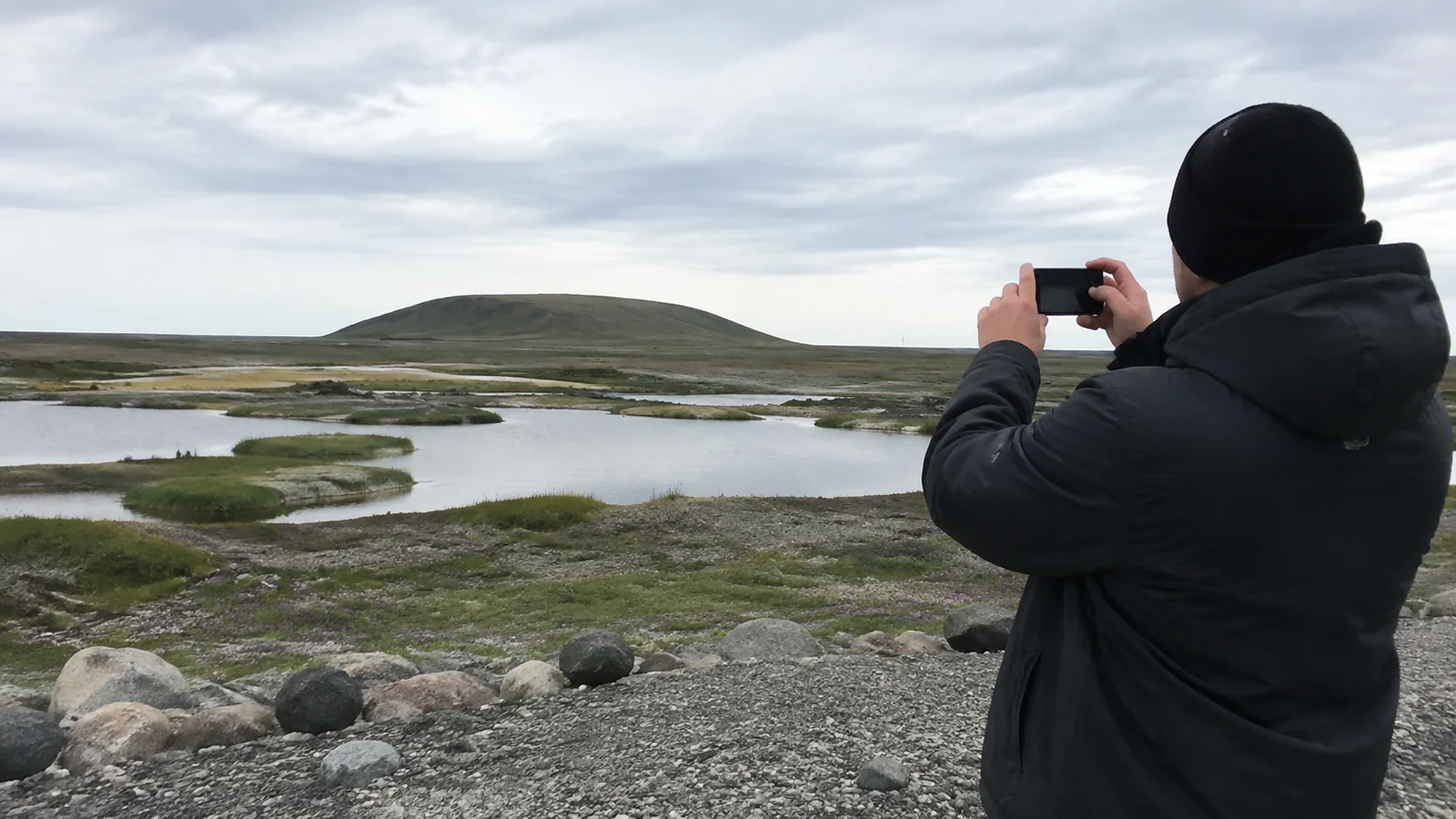
Pingos are hills formed around ice cores, and the Tuktoyaktuk region contains about 1,350 of them. Parks Canada says the Pingo Canadian Landmark protects eight, including 161-foot Ibyuk Pingo, Canada’s tallest and the world’s second tallest.
The distant roadside view is not the same as visiting the landmark. Parks Canada recommends access by boat and boardwalk, says hiking from the highway is not encouraged, and prohibits climbing an actual pingo from April 15 through October 31.
A licensed local boat tour is the sensible choice, with timing controlled by weather and water. The open Beaufort Sea portion can develop rough conditions or fog quickly, so a cancellation is good judgment rather than a failed vacation.
Visit local points of interest with permission
Community tours may include viewpoints, historic interpretation, traditional food, or local art depending on the operator and season. Do not copy an old checklist and drive onto every marked location independently.
Some places are private, sensitive, operational, or connected to difficult histories. Follow your guide, respect signs, and buy items only when they are openly offered for sale.
Local bookings I would make first
For a first visit centered on the community, I would contact Tuktoyaktuk Tours, run by John and Joanne Steen, at 867-977-2547. The current tourism listing offers community tours, so ask which dates, stops, and cultural interpretation they can provide without assuming access to private homes or the community icehouse.
For a water-based journey, Polar Pack Arctic Adventures’ Arctic Ocean and Pingos tour is advertised June 20 through September 30, 2026, departing from Inuvik along the Mackenzie River. It includes a pingo picnic and Indigenous guiding, but it is a separate substantial boat excursion rather than a quick add-on after driving to Tuk.
I would choose the community tour for my first short visit and the Polar Pack trip when the river journey is a major reason for coming north. Ask Polar Pack at 867-678-0758 about duration, boarding assistance, weather cancellation, food needs, and the return arrangement before you lock in an overnight.
Smitty’s Bed and Breakfast, at 608 Kitti Road, is a practical overnight inquiry because it has four bedrooms and a guest kitchen. Contact 867-977-2777 to confirm availability, shared-bathroom arrangements, check-in, and which breakfast supplies are included; a directory listing does not guarantee a bed or year-round service.
For refueling, Bob’s Gas at 610 Beaufort Road lists gasoline, diesel, tire repair, and a stocked store, with direct contact at 867-977-2394. I would fill in Inuvik first, then confirm Tuk’s opening hours before relying on an evening top-up, because this is not a 24-hour-service assumption.
For grocery provisions, the Inuvialuit Regional Corporation lists Stanton’s Tuktoyaktuk store. Carry your main road food from Inuvik, then use the local store for additional supplies instead of building dinner around an unconfirmed seasonal restaurant.
A Better Three-Day Inuvik and Tuktoyaktuk Plan
Day one: Arrive and prepare in Inuvik
Use Inuvik for groceries, fuel, road information, and an orientation to the Western Arctic. Confirm the vehicle or tour, check Highway 10, and avoid scheduling a northbound drive immediately after a tiring flight.
Day two: Drive north and stay
Leave with a full practical plan, allow generous time for the gravel road, and stop only in safe pullouts. Join a prearranged community tour after arrival or settle in and schedule it for the following morning.
An overnight stay reduces the temptation to speed and puts more visitor spending into Tuk. It also creates breathing room when weather or road work shifts the day.
Day three: Tour, coast, and return
Take the local tour or boat outing if conditions allow, then begin the return with plenty of daylight and energy. Keep the Inuvik evening uncommitted rather than connecting directly to a flight.
Add another night if the Pingo Canadian Landmark is a priority. Water-based outings are weather-dependent and should never be forced into one narrow window.
Where to Stay, Eat, and Refuel
Accommodation, camping, meals, and fuel are limited enough that advance confirmation matters. Call the specific property or operator and ask about actual opening dates, check-in, payment, meals, bathrooms, water, and parking for your vehicle size.
Never assume a shoreline pullout is a free campsite. Use a designated, confirmed place and follow local rules for waste, fires, generators, pets, and quiet hours.
Carry food that covers delays without bypassing local businesses entirely. Travelers with allergies or strict diets should explain needs in advance and bring an appropriate backup because substitutions may be scarce.
How Much Does the Trip Cost?
Tuktoyaktuk is rarely a cheap add-on once flights, vehicle rental, fuel, lodging, tours, meals, and contingency time are counted. Prices and availability change too much for an honest article to promise a bargain daily rate.
The most efficient version is often a flight to Inuvik plus a small-group overnight excursion, especially for one traveler who would otherwise rent and equip a vehicle alone. A full Dempster drive offers more landscape and communities but demands more days and a much larger recovery budget.
Apply the full-cost method in this Canada road-trip planner, including rental exclusions and a buffer night. The cheapest quote can become the most expensive choice if it leaves tire damage, towing, or weather disruption uncovered.
Respectful Arctic Travel Checklist
- Confirm the road, ferry or ice-crossing status, lodging, fuel, and tour directly.
- Ask permission before photographing people, homes, cultural activities, or harvesting.
- Stay off private property, sensitive tundra, pingos, and unapproved shoreline routes.
- Pack layers, food, water, offline navigation, and vehicle supplies for delays.
- Follow wildlife guidance and never approach animals for a photograph.
- Spend locally and give the community more time than a sign stop.
The Bottom Line
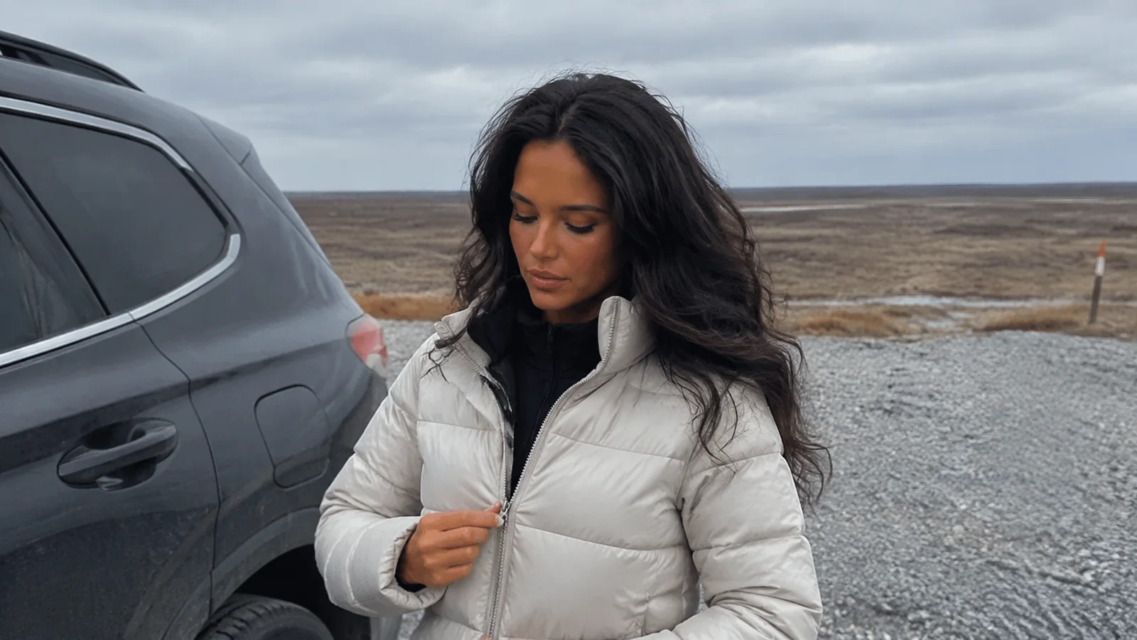
Tuktoyaktuk is worth the effort when the trip centers the community as much as the highway’s endpoint. Plan at least one night, hire local expertise, and treat the coast and pingos as sensitive places rather than props.
Summer is the most forgiving first visit, but no Arctic road is guaranteed easy. Verify every transport link, carry a realistic buffer, and arrive ready to listen.