Upper Midwest Road Trip: 12-Day Great Lakes Itinerary
This Upper Midwest road trip links three states, two Great Lakes, waterfalls, sandstone cliffs, small harbor towns, and one island where your car stays behind. It is ambitious without becoming a daily endurance test.
Allow 12 days for the full Minneapolis loop, or use the shorter and longer versions below to match your vacation time.
Upper Midwest route at a glance
The loop covers about 1,450 miles before local sightseeing and starts where rental-car choices are plentiful. Driving distances are rounded, so confirm the exact route and seasonal closures before departure.
- Days 1 and 2: Minneapolis and St. Paul, Minnesota
- Day 3: Minneapolis to Duluth, about 155 miles
- Day 4: Duluth to Grand Marais, about 110 miles
- Day 5: Grand Marais to Bayfield, about 195 miles
- Day 6: Apostle Islands and Bayfield
- Day 7: Bayfield to Marquette, about 205 miles
- Day 8: Marquette to Munising and Pictured Rocks, about 45 miles
- Day 9: Munising to St. Ignace, about 120 miles
- Day 10: Mackinac Island day trip
- Day 11: St. Ignace to Door County, about 290 miles
- Day 12: Door County to Minneapolis, about 325 miles
This is a scenery-first itinerary, not a checklist of every major city in the Midwest. Chicago, Milwaukee, Madison, and the Black Hills all deserve separate trips rather than rushed detours.
Best time for this road trip
Late June through early October offers the easiest combination of open attractions, ferry schedules, and manageable roads. July and August bring the warmest weather and biggest crowds, while September offers cooler hikes and changing leaves.
Lake Superior creates its own weather, and a sunny 75-degree afternoon can turn windy and chilly near the water. Pack a rain shell, warm layer, sturdy shoes, and a backup plan for every boat day.
Spring is quieter but can be muddy, cold, and buggy, with some tours operating limited schedules. Winter turns the route into a serious snow trip and is not a simple substitute for this summer itinerary.
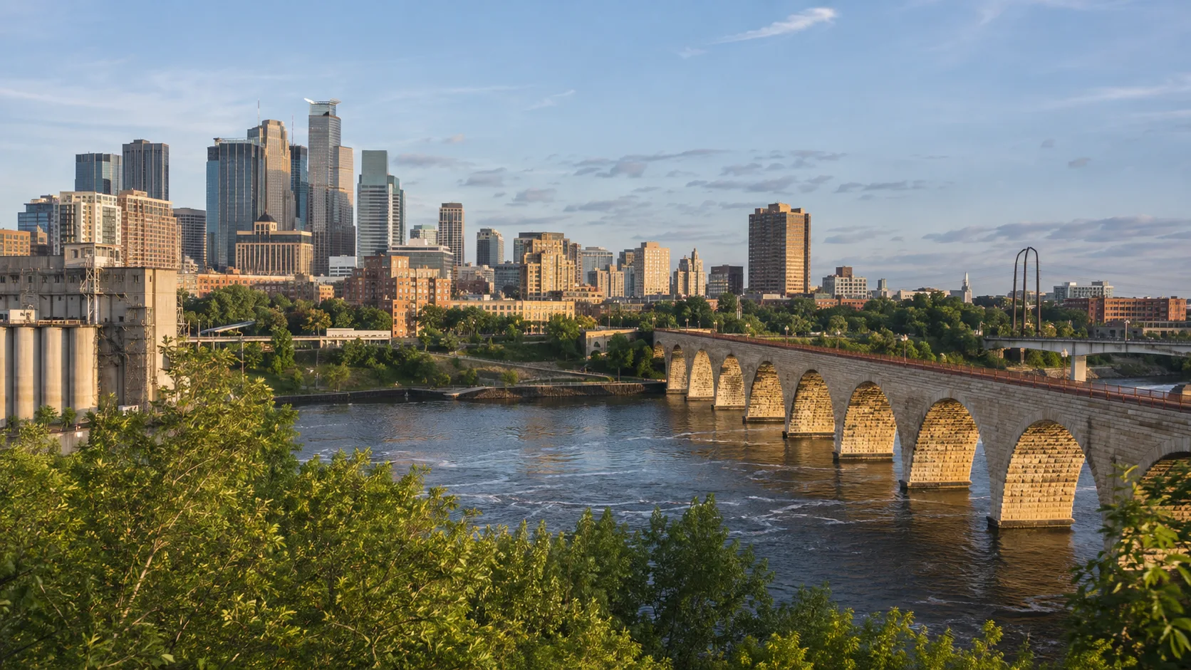
Days 1 and 2: Minneapolis and St. Paul
Use the Twin Cities as both your arrival buffer and the urban contrast to the lake country ahead. Spend one day around Minneapolis riverfront sights and another exploring St. Paul, a museum, or the chain of city lakes.
Minnehaha Falls is an easy first outdoor stop, but water flow changes by season. If you would rather start with trails and paddling, these Minnesota outdoor activities offer more options close to the route.
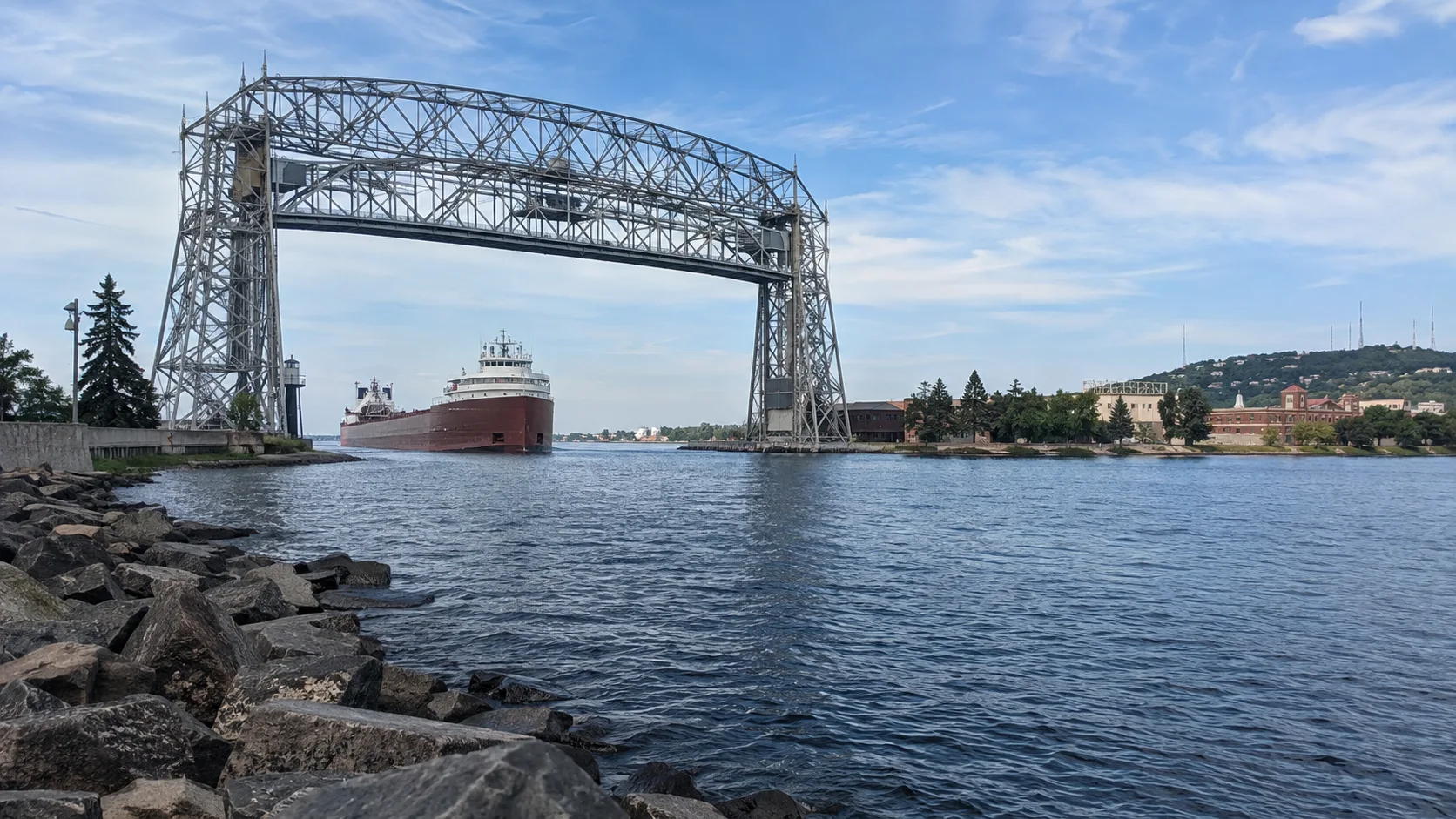
Day 3: Minneapolis to Duluth
The direct drive to Duluth is about 155 miles, mostly on Interstate 35. Leave after breakfast and save the afternoon for Canal Park, the Lakewalk, and views of the Aerial Lift Bridge.
Stay near Canal Park for walkability or farther north for a quieter night and a head start on Highway 61. Prices rise sharply on summer weekends, so this is not a good place to improvise lodging at 7 p.m.
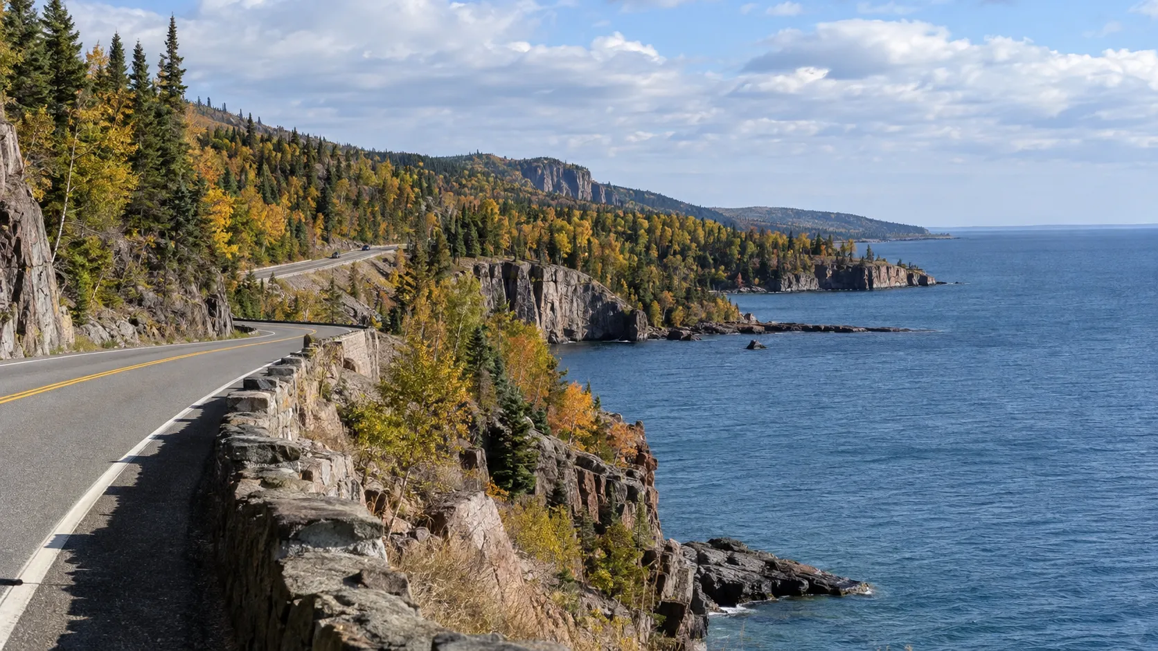
Day 4: Duluth to Grand Marais on the North Shore
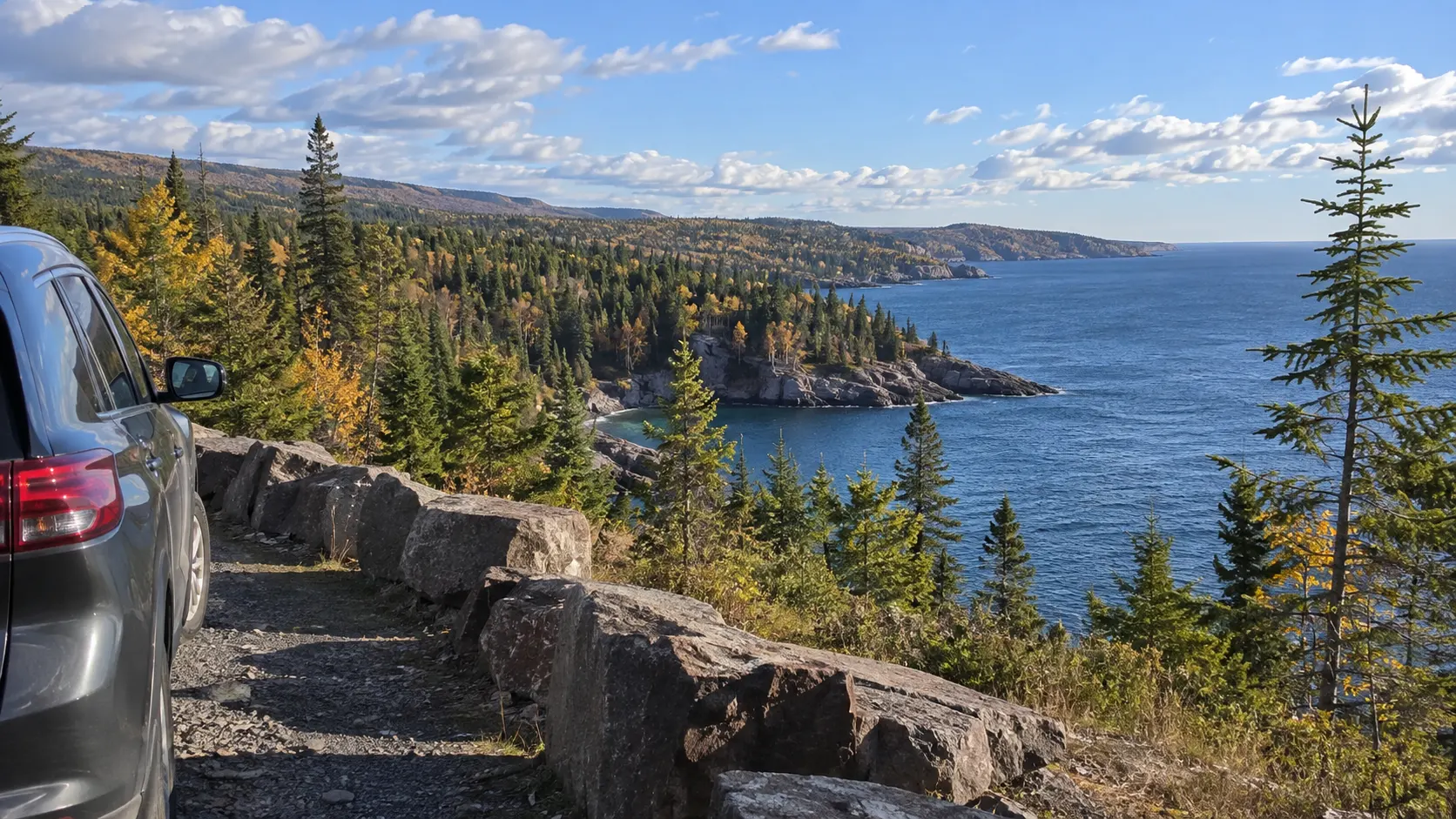
Minnesota’s official North Shore All-American Scenic Drive runs 154 miles from Duluth to Grand Portage. This itinerary follows about 110 miles to Grand Marais, with enough stops to fill a whole day.
Choose two or three priorities instead of pulling over at every sign. Gooseberry Falls, Split Rock Lighthouse, Tettegouche State Park, and the shoreline around Temperance River make a strong sequence.
Grand Marais works well for two nights if you can extend the trip. With only one, walk Artist’s Point in the evening and reserve a morning for either a short shore hike or part of the Gunflint Trail.
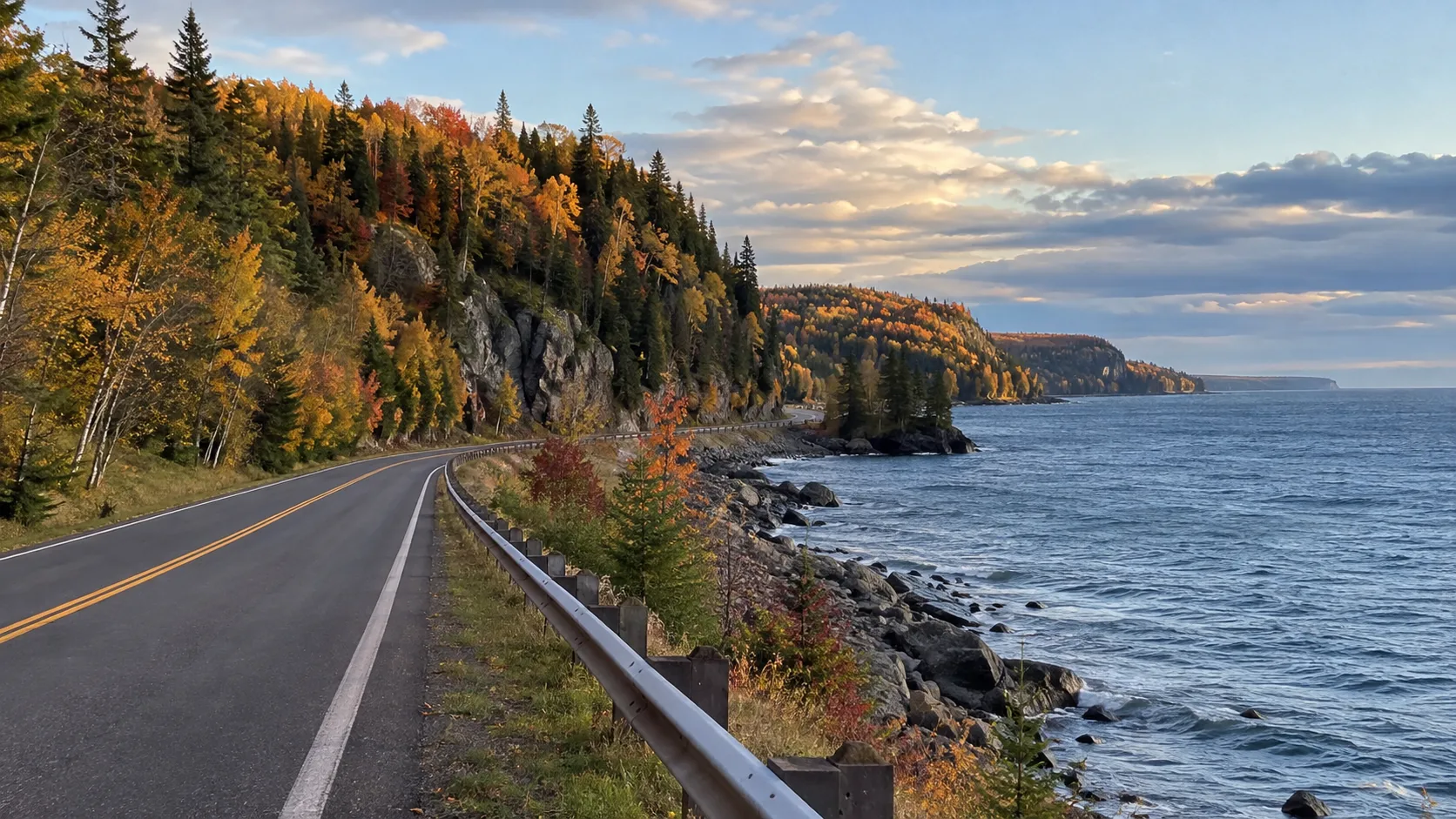
Day 5: Grand Marais to Bayfield
This 195-mile transfer backtracks toward Duluth before turning east into Wisconsin. It looks inefficient on a map, but it connects the strongest shore scenery without committing to remote Canadian border crossings.
Stop for lunch around Duluth or Superior, then follow Wisconsin Highway 13 toward Bayfield. The last stretch is slower and prettier than the mileage suggests, so arrive before dark.
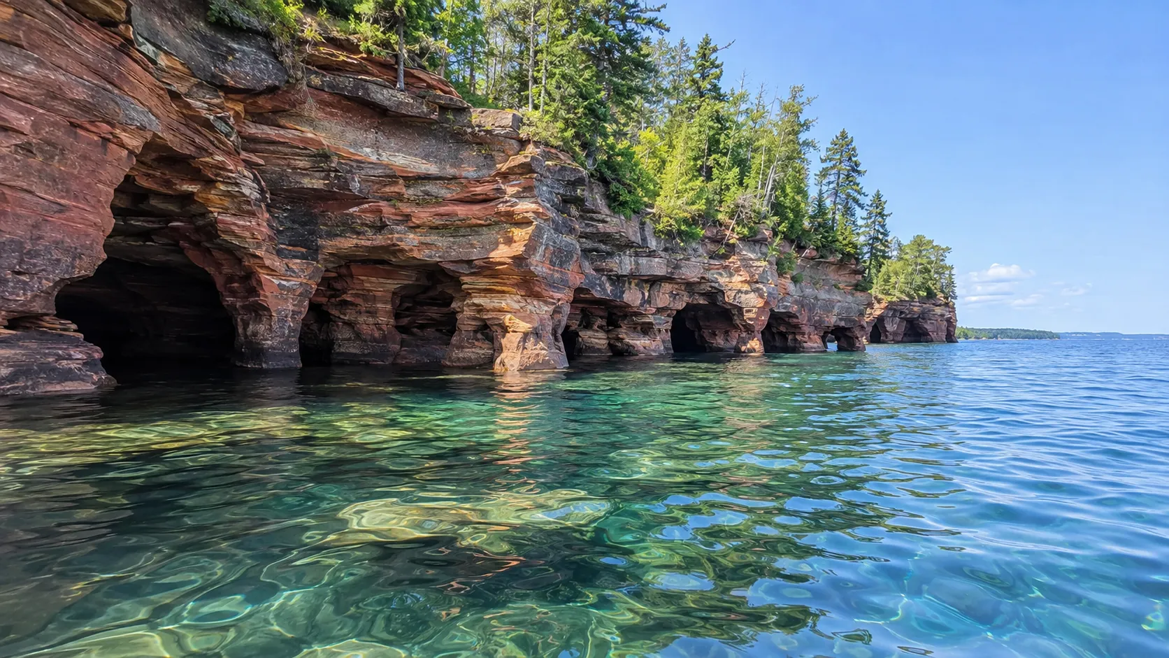
Day 6: Apostle Islands National Lakeshore
Apostle Islands National Lakeshore protects 21 islands and 12 miles of mainland shore. The national lakeshore islands have no road access, so “visiting the Apostles” requires a boat, water taxi, sailing trip, or properly planned sea-kayak outing.
For the easiest first visit, reserve a sightseeing cruise and keep the rest of the day open for Bayfield. Meyers Beach and the mainland trail are useful alternatives when wind cancels boats, although reaching the caves on foot requires more time than a quick overlook.
Sea kayaking here is not a casual warm-water rental. Lake Superior stays cold, conditions can change quickly, and the National Park Service advises paddlers to monitor marine weather, wear proper equipment, avoid rough cave conditions, and never paddle the caves alone.
If kayaking is the reason for your trip, compare guided options in my Apostle Islands kayaking guide. Build weather flexibility into the reservation instead of treating cancellation as impossible.
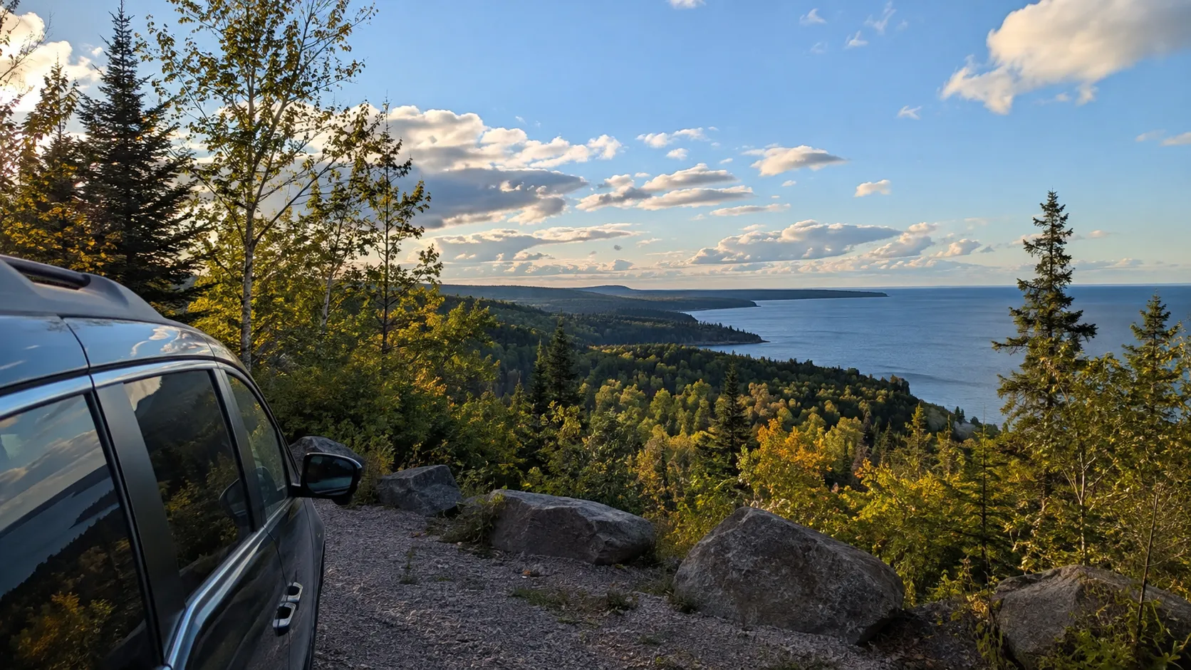
Day 7: Bayfield to Marquette
Allow at least four hours for the roughly 205-mile drive to Marquette before stops. You will cross from Wisconsin into Michigan’s Upper Peninsula and eventually change from Central Time to Eastern Time, so watch the clock.
The route passes long forested stretches where fuel and food choices thin out. Fill the tank before it becomes urgent, download offline maps, and do not rely on continuous cell service.
Marquette rewards an early arrival with a walk along the waterfront or a short hike to a Lake Superior viewpoint. It also has more dining and lodging than Munising, making it a comfortable reset before the national lakeshore.
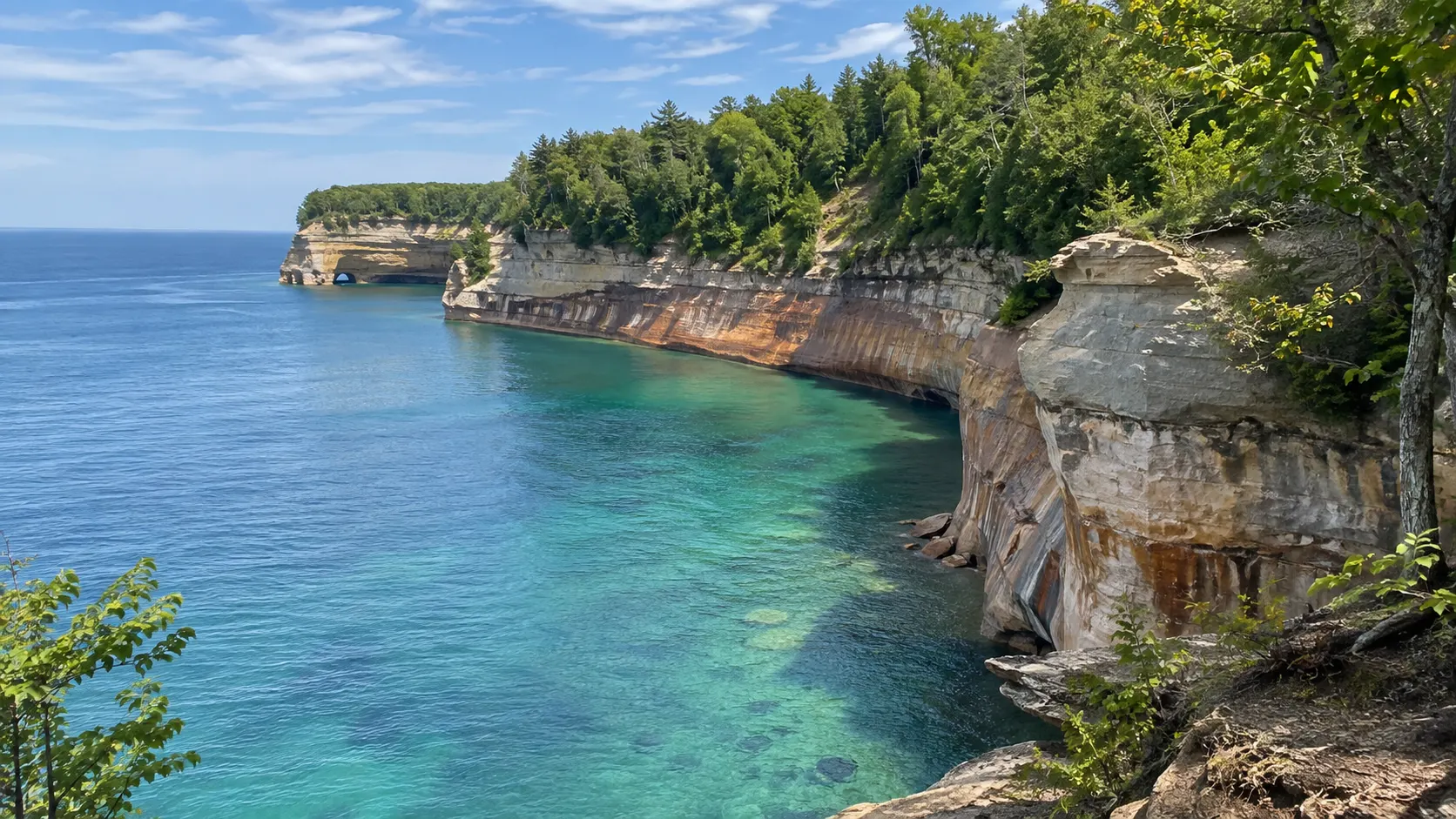
Day 8: Pictured Rocks National Lakeshore
Drive about 45 miles to Munising, then give Pictured Rocks National Lakeshore the full day. The park charges an entrance fee, and the National Park Service warns that GPS can be unreliable, so download the official map and current conditions first.
A boat cruise shows the colored cliffs from the water, while trails and overlooks reveal waterfalls, beaches, and the forest above them. Pick one major boat outing or hike rather than squeezing both into a tight weather window.
Miners Castle is the straightforward overlook for limited time. Chapel Basin offers a much longer hiking day, and the distance should not be underestimated just because the terrain looks gentle on a map.
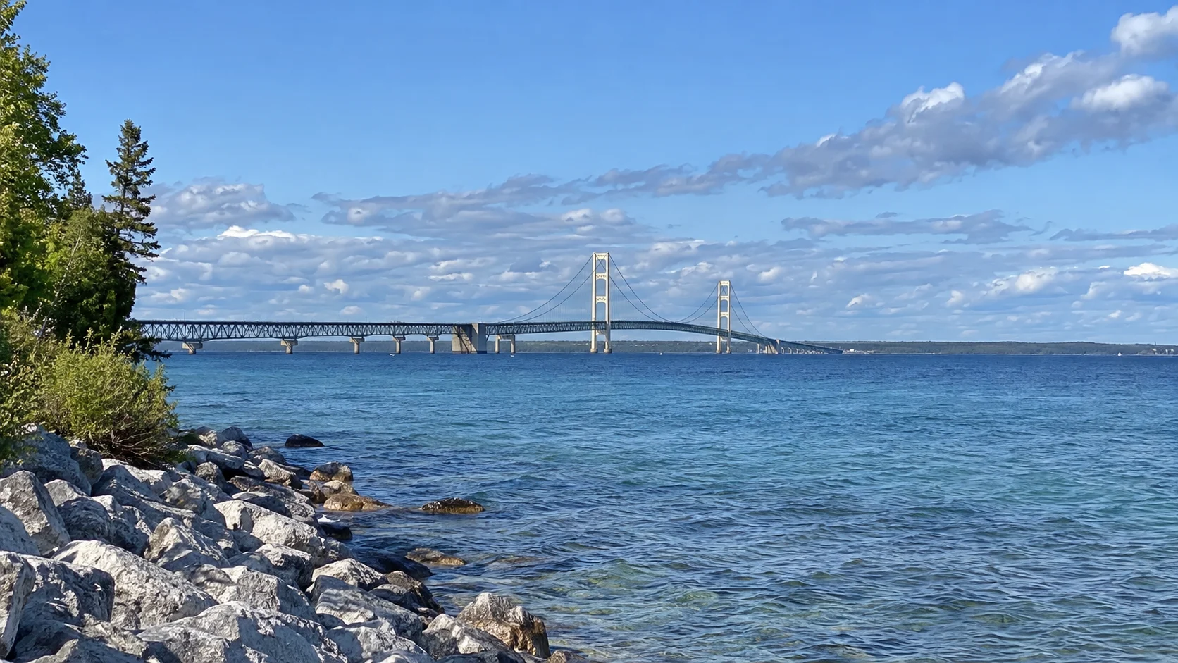
Day 9: Munising to St. Ignace
The direct drive is about 120 miles and a little over two hours without stops. Add time for a Lake Michigan beach along U.S. 2 or a detour toward Tahquamenon Falls, but not both if you want a relaxed arrival.
St. Ignace is the practical Upper Peninsula base for Mackinac Island. Confirm ferry parking, departure times, and the final return before dinner, especially outside peak summer.
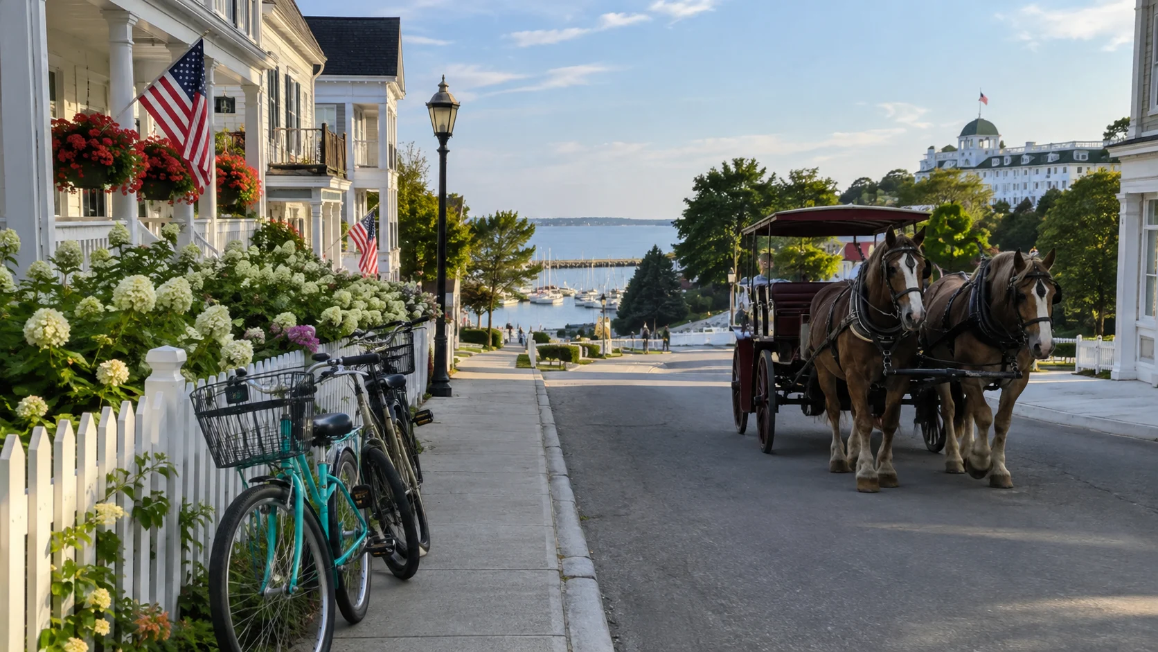
Day 10: Mackinac Island without the car
Mackinac Island is car-free for ordinary visitors, and ferries depart from both St. Ignace and Mackinaw City. The official Mackinac Island transportation page lists the current operators and explains mainland parking.
For a day trip, walk downtown, visit Fort Mackinac if history interests you, and rent a bicycle only if the weather and your comfort level cooperate. The paved loop around the island is 8.2 miles, but busy downtown streets include horses, bikes, and pedestrians sharing space.
An overnight is worthwhile for quieter streets after day visitors leave, but it adds cost and luggage logistics. My Mackinac Island day trip plan helps prioritize stops if you keep the island to one day.
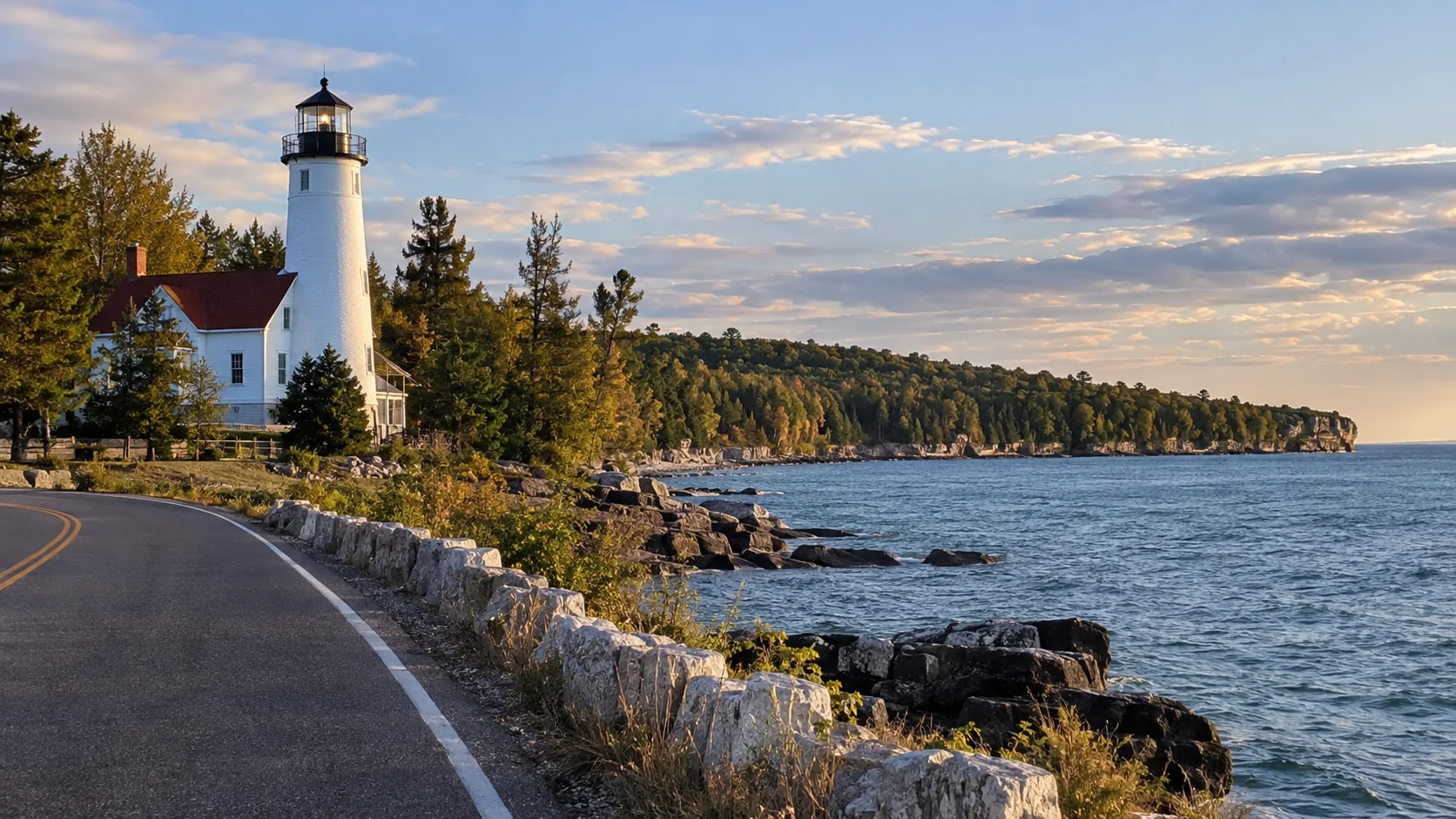
Day 11: St. Ignace to Door County
This is the longest transfer day at roughly 290 miles, plus ferry-related timing if you slept on Mackinac Island. Leave early and treat Escanaba or Green Bay as a proper meal and fuel stop.
Base yourself around Sturgeon Bay for easier arrival or farther north near Fish Creek, Ephraim, or Sister Bay for classic peninsula scenery. Door County lodging often requires minimum stays on popular weekends.
The Door County Coastal National Scenic Byway forms a 66-mile loop along both sides of the peninsula. Do not try to drive every mile after the long trip from St. Ignace.
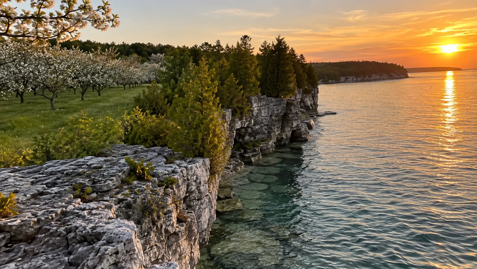
Day 12: Door County and the return to Minneapolis
If you must reach Minneapolis today, choose one morning stop such as Peninsula State Park, Cave Point County Park, or a waterfront village. The return from Sturgeon Bay is about 325 miles and takes more than five hours before breaks.
A better plan is adding a second Door County night and driving back on day 13. My collection of Wisconsin road trips can also help turn the return into a separate Madison or Driftless Area extension.
How to shorten this route to eight days
Skip the Twin Cities sightseeing day, sleep in Duluth only once, and choose either Apostle Islands or Mackinac Island. Drive from Munising directly toward Door County after a morning overlook rather than spending a full separate day in St. Ignace.
The faster version still involves several four-to-six-hour driving days. It works best for travelers who enjoy road time and are comfortable losing a boat stop to weather.
How to expand it to two weeks
Add a second night in Grand Marais, Bayfield, and Door County. That creates weather backups for Lake Superior, room for a longer hike, and evenings that are not dominated by check-in.
Another strong extension is one night on Mackinac Island. Skip distant add-ons like the Black Hills unless you have at least another week, because they change this compact Great Lakes loop into a much larger drive.
Upper Midwest road trip planning tips
- Reserve summer lodging and boat tours before rental-car prices push you into a nonrefundable rush.
- Keep a full rain day flexible around Bayfield, Munising, or Mackinac Island.
- Download park maps and ferry confirmations for areas with weak service.
- Carry water, snacks, a paper map, and a warm layer on every transfer.
- Check state park vehicle-pass rules separately in Minnesota, Wisconsin, and Michigan.
- Watch the Central and Eastern Time boundary in the Upper Peninsula.
- Never put a boat tour immediately before a long, fixed drive.
Frequently asked questions
How many days do I need for an Upper Midwest road trip?
Twelve days is comfortable for this Minneapolis, Lake Superior, Mackinac Island, and Door County loop. Eight days is possible with fewer boat stops, while 14 days gives you valuable weather flexibility.
Do I need an SUV?
No, a regular car handles the main paved route in snow-free months. Choose an SUV only for space or comfort, and verify road conditions before using unpaved park and forest routes.
Can I drive this route in winter?
You can visit parts of it, but many park roads, tours, businesses, and ferry schedules change seasonally. Winter requires a redesigned itinerary, proper tires, flexible lodging, and comfort with lake-effect snow.
Which stop needs the most advance planning?
Apostle Islands and Mackinac Island need the most coordination because water transportation controls the day. Pictured Rocks lodging and cruises also sell quickly during summer and peak fall color.
Final route advice
The best version of this Upper Midwest road trip protects time for the lakes instead of collecting towns. Keep the North Shore, Apostle Islands, Pictured Rocks, Mackinac Island, and Door County, then cut one cleanly if your calendar gets tight.
Most importantly, leave one boat day flexible. Around Lake Superior, the weather gets the final vote, and a thoughtful backup plan is part of the itinerary.