Eagle Plains, Yukon: Dempster Highway Stop and Safety Guide
Eagle Plains is not a town to tour. It is the essential fuel, food, lodging, repair, and rest stop at mile 229 of the remote Dempster Highway, roughly halfway between the highway’s southern junction and Inuvik, and a smart itinerary treats its limited services as a lifeline rather than a casual convenience.
What Is Eagle Plains?
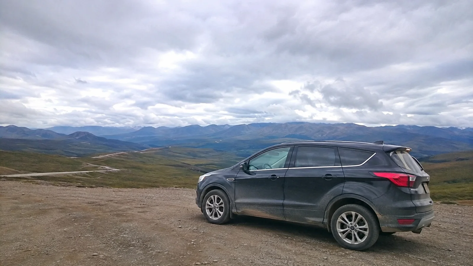
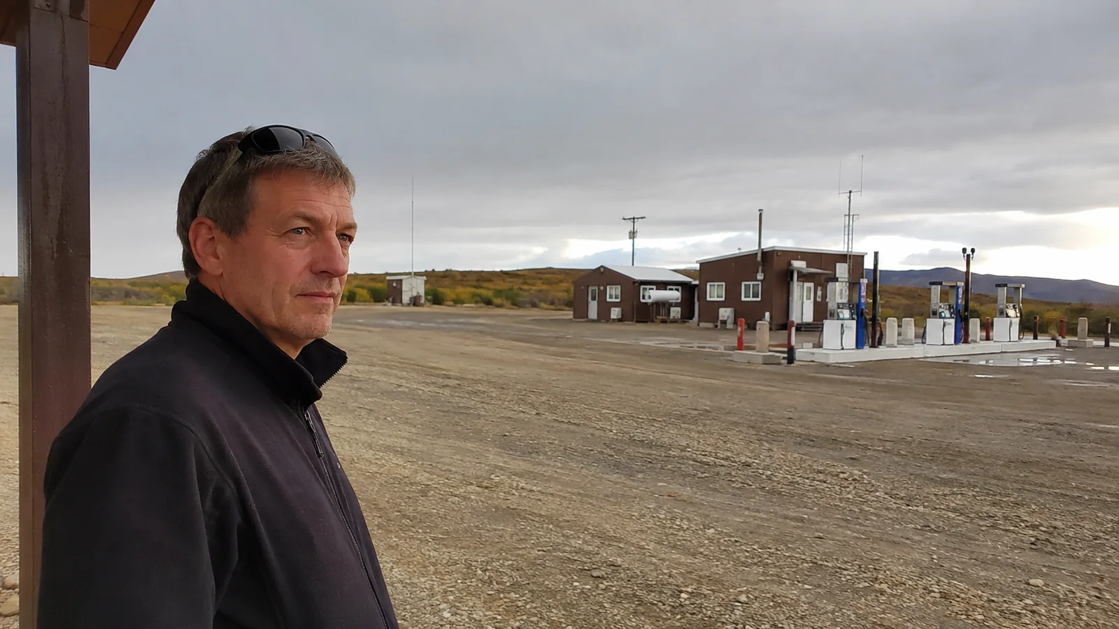
Eagle Plains is a roadside complex on a broad Yukon plateau, about 22 miles south of the Arctic Circle. Its hotel, restaurant, lounge, gas station, garage, campground, showers, and laundry support residents, commercial drivers, road crews, and travelers crossing a region with almost no ordinary visitor infrastructure.
This is not a destination with a walkable main street, museum district, or choice of competing hotels. The appeal is the immense landscape and the Dempster journey itself, while the practical value is a warm room, full tank, meal, tire help, and current word from people who have just driven the road ahead.
Where Eagle Plains Fits on the Dempster Highway
The Dempster Highway begins at its junction with the North Klondike Highway east of Dawson City and runs about 458 miles to Inuvik. Travel Yukon identifies Eagle Plains as the halfway stop and the only fuel opportunity on the long Yukon portion between the southern junction and the territorial border area.
The Government of Yukon places Eagle Plains around kilometer 371, or mile 229, from the southern junction. Tombstone Territorial Park begins much farther south, while the Arctic Circle sign is near kilometer 406, so Eagle Plains makes a sensible overnight before or after the circle.
Distances alone understate the work. Gravel, potholes, washboard, sharp shale, dust, mud, graders, wildlife, construction, low visibility, and tire stops can turn a reasonable mileage day into a slow one.
Who Should Drive to Eagle Plains?
Choose this route if remote landscapes, self-supported driving, changing conditions, and a flexible schedule sound rewarding. It suits travelers prepared to inspect a vehicle, change a tire, carry extra supplies, and turn around when weather or mechanical judgment says to stop.
Skip it if your rental agreement bans the Dempster, your vehicle has an unsuitable spare, or your schedule cannot absorb a closure. A flight-dependent itinerary with no buffer after returning to Dawson or Whitehorse is especially fragile.
The broader Yukon travel guide helps place the Dempster beside less remote options such as Whitehorse, Dawson, and Kluane. Eagle Plains is memorable because it is isolated, not because it is an easy add-on.
Vehicle Preparation Is the Real Entry Ticket
Before leaving pavement, verify that the vehicle owner or rental company explicitly permits travel on the Dempster Highway and into the Northwest Territories if applicable. Ask in writing about gravel-road exclusions, windshield and undercarriage damage, tire coverage, towing, roadside assistance territory, and cross-territory use.
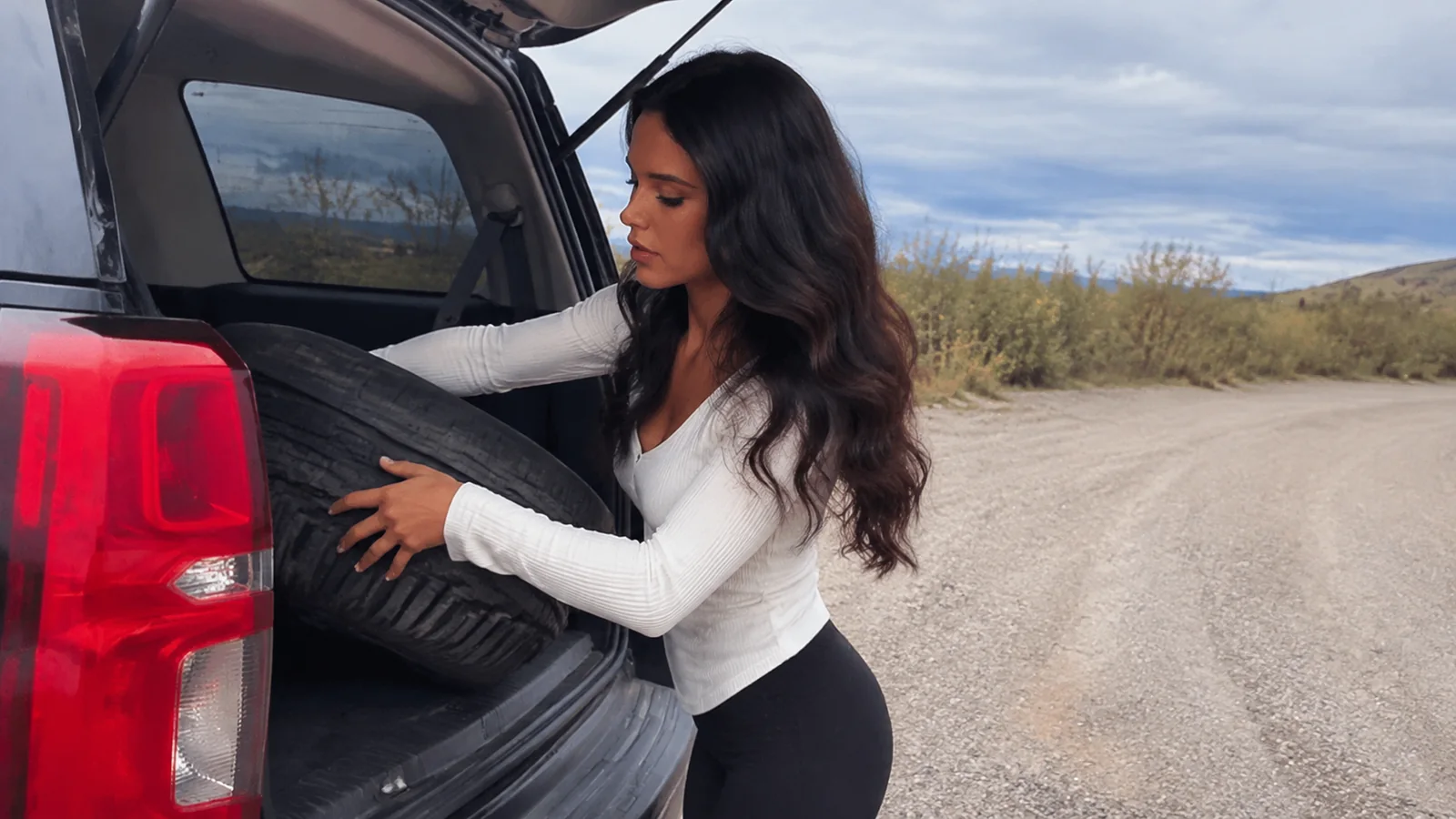
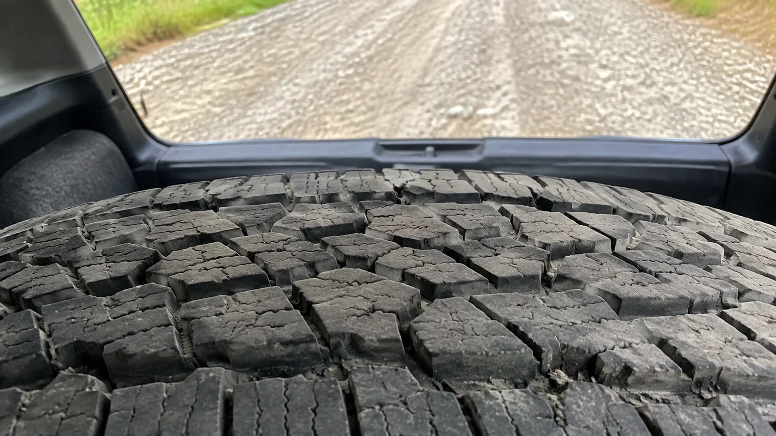
Yukon Parks advises Dempster travelers to carry plenty of fuel, food, and a couple of spare tires. That is stronger than the usual road-trip suggestion: the spares must fit, hold air, be accessible under luggage, and come with a jack and wrench that actually work on that vehicle.
- Use tires with adequate tread and load rating for the vehicle.
- Check spare pressure, lug-nut fit, fluids, brakes, battery, and lights.
- Carry a full-size spare where possible, a second spare or repair plan, and an inflator.
- Bring food, drinking water, warm layers, rain gear, and a sleeping bag or blankets.
- Carry offline maps, a first-aid kit, warning triangle, shovel, and basic tools.
- Use a satellite messenger or other off-grid communication plan.
A can of sealant does not replace a spare when a sharp rock damages a sidewall. Learn where the safe jacking points are before the road, and never crawl under a vehicle supported only by a jack.
Check the Road, Then Check It Again
The Government of Yukon directs drivers to 511 Yukon for current road conditions, weather, restrictions, pullouts, and border information. Save the relevant reports and screenshots before losing service, then ask at Dawson, Tombstone, or Eagle Plains about anything that has changed.
“All-season” does not mean paved, easy, or continuously open. Storms, wildfire, flooding, maintenance, freeze-up, breakup, or an incident can interrupt travel, and a map’s estimated arrival ignores all of them.
Drive below the posted maximum whenever loose gravel or sight distance demands it. Slow well before meeting trucks, leave space behind other vehicles, keep headlights on, and avoid abrupt steering on a soft shoulder.
Fuel Strategy
Start the Dempster with a full tank and refuel at Eagle Plains regardless of what the gauge says if you are continuing. Confirm your vehicle’s real gravel-road range, then add margin for idling, detours, headwinds, cold, and a possible return to the last open service.
The current Travel Yukon Eagle Plains page specifically recommends gas, food, laundry, a shower, and a road-condition conversation at the stop. Call ahead for current fuel and operating status rather than assuming a year-round listing eliminates outages or maintenance.
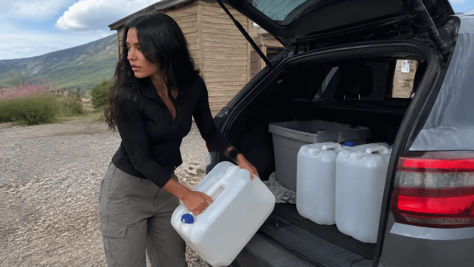
Carry approved auxiliary fuel only if the vehicle operator permits it and you know how to transport it safely. Gasoline does not belong loose inside the passenger compartment.
Hotel, Restaurant, and Campground
Eagle Plains Hotel is the only conventional accommodation between Dawson and Inuvik identified by Travel Yukon. Book ahead, confirm the room directly, and carry a fallback sleep system because weather can bunch travelers together or delay arrivals from both directions.
The complex currently advertises 32 rooms, licensed dining, a lounge, traveler supplies, fuel, propane, tire repair, minor repair, showers, laundry, and camping. The operator’s website is the right place to confirm today’s room, meal, fuel, repair, and campground availability.
Expect functional northern hospitality, not a luxury resort. Menu items, hours, parts inventory, campsite hookups, potable water, payment systems, internet, and card terminals can all be constrained by remoteness.
Carry enough cash and food to continue safely if an electronic payment system or kitchen is unavailable. If you require an accessible room, medical refrigeration, dietary accommodation, or a specific RV connection, call rather than inferring from a general amenity list.
A Realistic Southbound or Northbound Itinerary
Day 1: Dawson Area to Tombstone
Fuel near the Dempster junction and drive into Tombstone Territorial Park, stopping at designated pullouts rather than in the travel lane. If the seasonal interpretive center is open, use it for exhibits, current local conditions, and short accessible or easy trails.
Camp legally at Tombstone only with the required registration and supplies, or return to Dawson if your plan is a shorter sampler. Driving from Dawson all the way to Eagle Plains in one push is possible for prepared travelers, but it strips away the park time that makes the route worthwhile.
Day 2: Tombstone to Eagle Plains
Make this a full travel day with time for slow surfaces, overlooks, wildlife pauses, and a tire problem. Arrive with daylight remaining, refuel immediately, inspect the vehicle, eat, and ask about conditions north or south.
Do not roam cross-country from roadside pullouts as though the land were an empty public playground. Respect closures, private operations, Indigenous rights and traditional use, wildlife, fragile tundra, and any territorial-park zoning.
Day 3: Arctic Circle and Your Chosen Direction
The Arctic Circle sign is roughly 22 road miles north of Eagle Plains and deserves an unrushed stop in safe conditions. From there, either return to Eagle Plains and Dawson or continue toward the Northwest Territories only if roads, river crossings, fuel, lodging, and timing are all confirmed.
A there-and-back to the sign is not a failure. It delivers the Arctic landscape without adding the ferry dependencies and extra remote miles required for Inuvik and Tuktoyaktuk.
Continuing to Inuvik and Tuktoyaktuk
North of Eagle Plains, the route crosses the Richardson Mountains and enters the Northwest Territories. During warmer months, the Dempster uses vehicle ferries at the Peel and Mackenzie rivers; in colder periods, ice crossings replace them when safe, and breakup or freeze-up can create weeks with no through-route.
The Northwest Territories currently lists average ferry openings around early June and average closures in early November, but averages are not operating promises. Check the official NWT ferry page and DriveNWT on the day of travel, including hours and the last crossing.
Inuvik to Tuktoyaktuk adds roughly 86 miles each way on another remote gravel highway. Use the Northwest Territories planning guide to build that as a separate module with accommodation, community respect, fuel, and weather time.
Best Season for Eagle Plains
Summer
Summer provides very long daylight, open territorial visitor facilities, and the best chance that NWT ferries are running. It also brings dust, construction, mosquitoes, wildfire smoke, rain-softened road, and intense demand around holidays.
Late August and Early Fall
Late-summer tundra color can be extraordinary, and darkness begins returning for aurora possibilities. Snow, hard frost, shorter days, reduced visitor services, and ferry-season risk also return, so this is not simply “summer with better colors.”
Winter and Shoulder Seasons
Winter Dempster travel belongs to people equipped for severe cold, limited daylight, drifting snow, and long waits after a breakdown. Spring breakup and fall freeze-up are particularly awkward for through-travel because the road may be passable to Eagle Plains while NWT river crossings are not.
If winter-road technique needs work, review these snow road-trip principles before deciding whether this particular journey is appropriate. Basic winter advice is only a starting point in Arctic conditions.
Wildlife and Roadside Safety
Travel Yukon highlights possible grizzly bear, wolf, moose, and caribou sightings along the Dempster. Observe from inside the vehicle or a generous distance, never feed wildlife, and do not stop where another driver cannot see you.
Pull completely off only on a firm designated area, watch mirrors before opening doors, and keep children and pets close. Wildlife can enter the road suddenly, particularly around blind curves, dusk, and poor visibility.
Check Yukon wildfire information as well as the road report. Smoke can hide mountains, reduce driving visibility, affect breathing, and close the route, so a famous viewpoint is never worth driving into unsafe conditions.
What Eagle Plains Is Not
It is not a base for casual unsupervised ATV tours, glacier walks, river expeditions, or off-trail wildlife pursuit. Those activities require legal access, appropriate operators, permits where applicable, local expertise, equipment, and a specific safety plan.
It is also not a reliable remote-work stop. Treat phone, Wi-Fi, power, and payment connectivity as limited, and tell someone your route and check-in plan before leaving dependable coverage.
My Eagle Plains Verdict
Eagle Plains earns its place on a Dempster itinerary because it makes the road safer and more humane, not because it offers a long attraction list. Stay one night, fuel every time, inspect the tires, share current information, and sleep before the next demanding section.
The best traveler here is prepared enough to appreciate the silence without depending on luck. Build spare time as carefully as spare tires, and Eagle Plains becomes the reassuring midpoint of one of Canada’s great road journeys.