Blue Ridge Parkway Road Trip: How to Turn the Drive into a Vacation
The Blue Ridge Parkway is nearly impossible to enjoy if you treat its 469 miles like a highway challenge, because the whole point is that the road keeps giving you reasons to stop looking at the odometer.
I would turn the drive into a week-long vacation built around mountain towns, a few favorite overlooks, and full evenings off the parkway instead of congratulating myself for covering the most mileposts.
First: Check What Is Actually Open
This is the most important planning step for the Blue Ridge Parkway right now. Hurricane Helene caused major damage in 2024, and extensive recovery work, bridge projects, paving, and temporary closures are still affecting sections in 2026.
The National Park Service road-status page is updated regularly and should determine your exact route immediately before travel. Do not copy a mile-by-mile itinerary months in advance and assume every segment will still connect.
That flexibility is not a reason to skip the parkway. More than 400 miles had been restored for public use by fall 2025, while targeted recovery work continues on damaged North Carolina sections.
The Route I Would Build
- Days 1 and 2: Shenandoah end to Roanoke
- Day 3: Roanoke to the Blue Ridge Music and Meadows of Dan region
- Day 4: work toward Boone and Blowing Rock using current detours
- Day 5: Boone and nearby open parkway sections
- Day 6: Asheville region using whatever southern sections are open
- Day 7: Asheville, Great Smoky Mountains, or a flexible weather day
This is a framework rather than a promise that you can drive every mile continuously. In 2026, signed detours and Helene-related closures make a town-based road trip much more sensible than insisting on staying on the parkway itself.
If mountain roads are your favorite part of a vacation, my Colorado mountain towns road trip takes the same stay-and-explore approach in the West. The Blue Ridge version is gentler, greener, and far more connected to small Appalachian communities.
Days 1 and 2: Start Near Shenandoah and Move Toward Roanoke
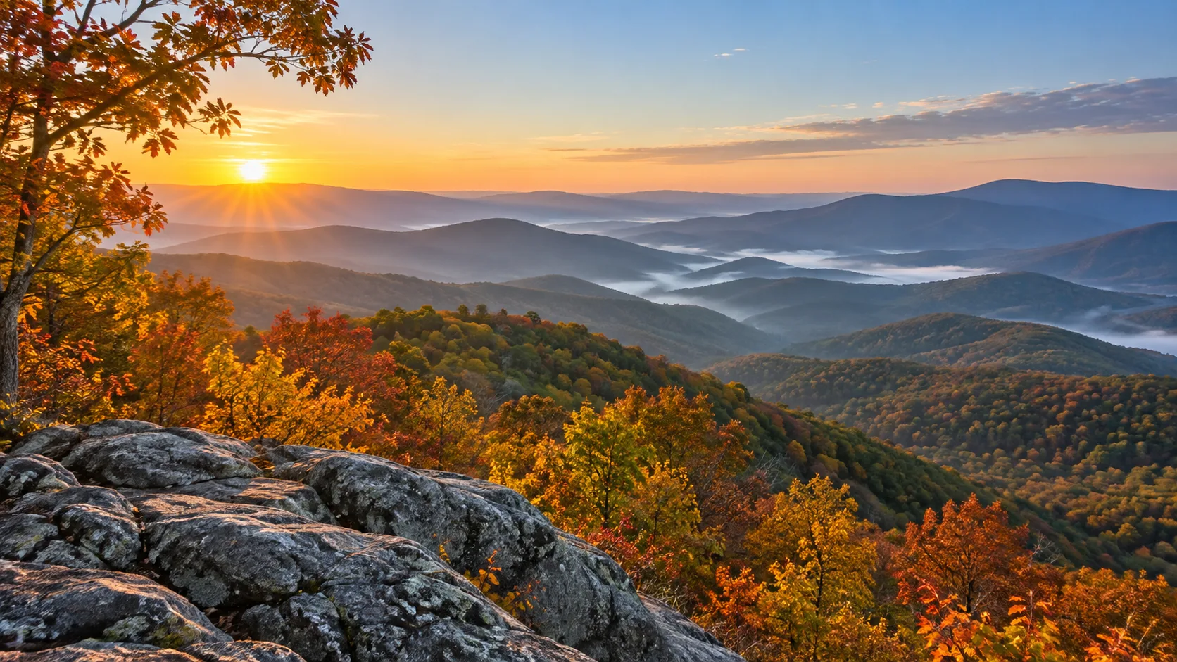
The parkway begins near Rockfish Gap, close to the southern end of Shenandoah National Park. I would spend the first day on the northern parkway instead of trying to combine a full Skyline Drive itinerary with your arrival.
Use overlooks selectively
The first few overlooks will tempt you to stop at every pullout, and that enthusiasm is adorable until you realize there are hundreds of them. Pick the views that catch your attention and keep moving when an overlook is crowded or fogged in.
Stay in or around Roanoke
Roanoke gives you restaurants, hotels, and an actual evening away from scenic driving. I would rather finish the day with a walk and dinner downtown than sleep beside the parkway simply to save twenty minutes tomorrow.
Day 3: Southwest Virginia and Appalachian Culture
Use the next stretch for a mix of overlooks, short walks, and regional culture. The parkway is not only a mountain-view road, and this is where music, crafts, farms, and historic communities make the trip more interesting.
Choose one cultural stop
Visitor centers and cultural sites vary by season, and some parkway facilities remain closed or operate limited schedules. Check current Blue Ridge Parkway visitor information before building the day around one building.
Stay near Meadows of Dan or another small community
This is a good night for an inn or small-town stay rather than another city hotel. Just confirm dinner options before arrival because rural closing times can be much earlier than your road-trip appetite.
Day 4: Work Toward Boone and Blowing Rock
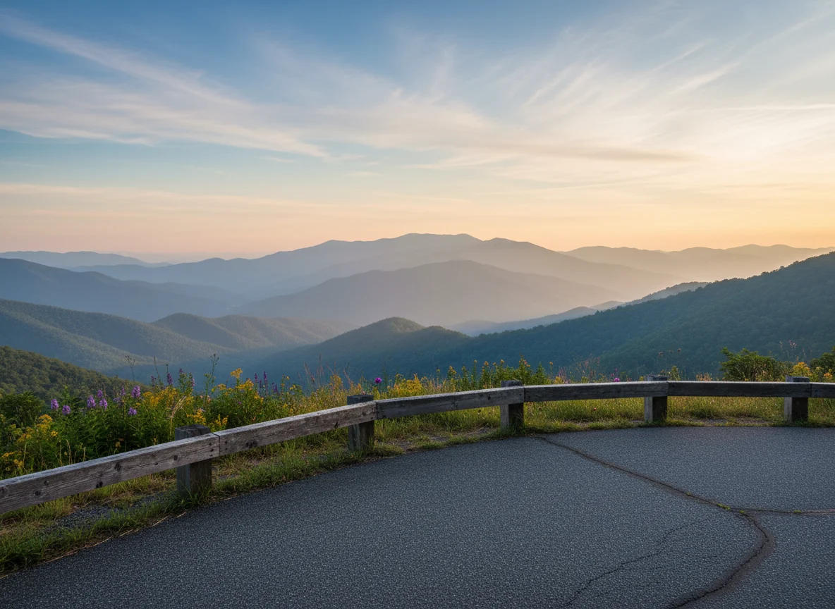
North Carolina has seen the heaviest concentration of Helene recovery projects, particularly around the Linville Falls and Mount Mitchell sections. In 2026, additional bridge and paving projects also create signed detours around areas such as Deep Gap.
Follow current NPS detours instead of trying to route around a gate on tiny mountain roads. A closure exists for a reason, and storm-damaged slopes are not an invitation to get creative.
Make Blowing Rock or Boone the destination
Both towns give you enough restaurants and attractions that a closure does not ruin the day. I would make the town itself the anchor and use whichever parkway segments are open as the scenic approach.
Day 5: Boone, Blowing Rock, and the Open High Country
Spend a second night in the area so today can be almost entirely flexible. Choose open viewpoints, a short trail, a waterfall, or a local attraction based on weather and road status.
Do not force the Linn Cove or Linville Falls area
These famous areas have been affected by ongoing closures and facility work. If access is restricted on your dates, choose an open section rather than turning the vacation into a construction-detour investigation.
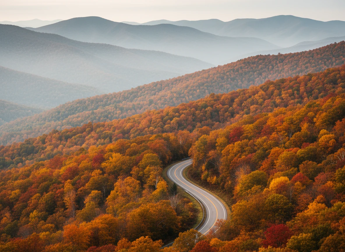
The road-status page lists exact mileposts, cross roads, closures, and reopening information. Save it to your phone and check it each morning.
Day 6: Toward Asheville
The Asheville side of the parkway is where current recovery work makes flexibility especially important. Some sections may reopen while others remain closed for slope stabilization, road rebuilding, drainage work, or construction traffic.
Use Asheville as the base, not a consolation prize
Asheville is worth a full evening whether you reached it by parkway or detour. Eat well, walk around, and let the city give you a break from another day of pullouts and winding roads.
Check Mount Mitchell access separately
The parkway section between Little Switzerland and Mount Mitchell has been a major Helene recovery zone in 2026. Do not assume the summit approach is open just because another nearby section is.
Day 7: Asheville, the Smokies, or Your Weather Backup
Use the final day for the southern parkway if open, Great Smoky Mountains National Park, or simply more time around Asheville. I would not make reaching milepost 469 the definition of success.
The Great Smoky Mountains current-closures page is worth checking if you continue into the park. Helene affected parts of the region beyond the parkway, and road or trail conditions can still shift.
How Long Does the Parkway Actually Take?
The posted parkway speed limit tops out at 45 mph and is often lower, but speed is only part of the equation. Overlooks, trails, construction, fog, wildlife, cyclists, and town detours make an average driving day far slower than a normal highway trip.
I would plan roughly three to four hours of actual driving on most sightseeing days, then let stops fill the rest. Any itinerary requiring seven hours of parkway driving before dinner has missed the personality of the road.
Where to Stay
Roanoke: useful for a city break and easy services after the northern section. One night works well.
Southwest Virginia: choose a small inn when atmosphere matters more than restaurant choice. Confirm late check-in policies before leaving the main roads.
Boone or Blowing Rock: stay two nights to give current closures and weather room to change the plan. Both are destinations rather than merely parkway exits.
Asheville: finish with at least one night and preferably two if food, breweries, art, or the surrounding mountains interest you.
Best Time for the Blue Ridge Parkway
Late spring
Spring brings green mountains and wildflowers, but fog, storms, and high-elevation conditions can close sections. Check roads daily.
Summer
Summer offers long daylight and the broadest facility schedules. Afternoon thunderstorms and fog can still make mountain driving unexpectedly slow.
Fall
Fall color is spectacular and traffic can be intense. Color progresses differently by elevation, so one section may be brilliant while another is still green or already past peak.
Winter
Many parkway sections close for snow and ice because the road is not maintained like a normal commuter highway. Build a separate winter mountain trip around reliable state roads rather than expecting to drive the full parkway.
Fog Changes Everything
Mountain fog can reduce visibility to almost nothing, especially early, late, and during changing weather. Slow down, use headlights appropriately, and leave the parkway when conditions stop being enjoyable or safe.
The best overlook in the world is not worth crawling through whiteout fog for forty miles. A long lunch in town is sometimes the smartest scenic-driving decision you can make.
Navigation Is Weird on the Parkway
The National Park Service warns that standard GPS can struggle with parkway milepost locations. Use an official map and milepost references for parkway destinations, then use navigation normally once you exit toward towns.
Download maps before the drive because cell coverage can be inconsistent. I also screenshot any closure detours I expect to use before leaving Wi-Fi.
What to Pack
- Layers for changing elevation
- Rain shell
- Offline maps and the official parkway map
- Small cooler
- Comfortable walking shoes
- Binoculars
- Car charger
My road trip tips cover ordinary route planning and car prep. On the Blue Ridge Parkway, I would trade a perfectly optimized route for a good paper map and a flexible cancellation policy every time.
Choose Hotels That Improve the Parkway Days
My road trip hotel guide is especially relevant on the Blue Ridge Parkway. I would pay more for a town where dinner is easy and tomorrow’s open parkway section is close rather than saving money at a hotel that adds repeated mountain driving.
My Favorite Way to Drive It Right Now
I would book great bases in Roanoke, the Boone or Blowing Rock area, and Asheville, then build each day’s parkway section around the current NPS closure map. That protects the vacation from one closed bridge or storm-damaged stretch.
The Blue Ridge Parkway was created for slow travel, not completion bragging rights. If you leave having loved three open sections and four mountain towns, you did the road trip exactly right.