14 Best Waterfalls in Wisconsin and How to Visit Them
Wisconsin waterfalls range from a 165-foot plunge to intimate cascades hidden in ferny ravines.
The best choice depends less on a ranking than on how far you want to walk, whether stairs are manageable, and how much driving you will tolerate for one view.
My quick picks for Wisconsin waterfalls
- Best single waterfall: Big Manitou Falls
- Best two-waterfall hike: Copper Falls and Brownstone Falls
- Best easy cluster: Upper, Lower, and Snake Pit Falls at Amnicon
- Best near the Twin Cities: Willow Falls
- Best quiet forest hike: Lost Creek Falls
- Best southern Wisconsin stop: Stephens’ Falls
If this is your first waterfall trip, I would combine Pattison and Amnicon near Superior. Add Copper Falls only when you have another full day, because collecting distant pins is not nearly as satisfying as giving one good trail enough time.
1. Big Manitou Falls, Pattison State Park
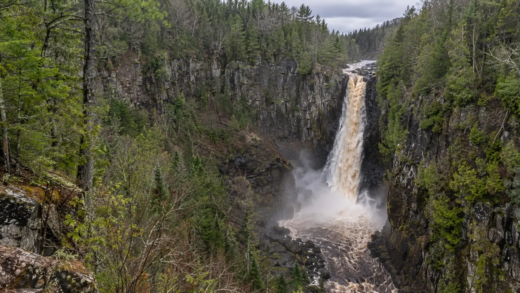
Big Manitou is the headliner: a 165-foot drop into the Black River gorge and Wisconsin’s tallest waterfall. The overlook makes the scale easy to appreciate without a major hike, which is why this is my strongest choice for mixed-age groups.
The Wisconsin DNR’s Pattison State Park page confirms both the height and the park’s trail, camping, lake, and nature-center facilities. Water volume changes with rainfall and upstream conditions, so the same overlook can look dramatically different across the year.
A dam reconstruction project at Interfalls Lake is scheduled to begin in early 2027 and may affect lake levels, the beach, and flow over Big Manitou during construction. Anyone planning beyond 2026 should check the park’s current-conditions page, not assume an older photo represents the visit.
2. Little Manitou Falls, Pattison State Park
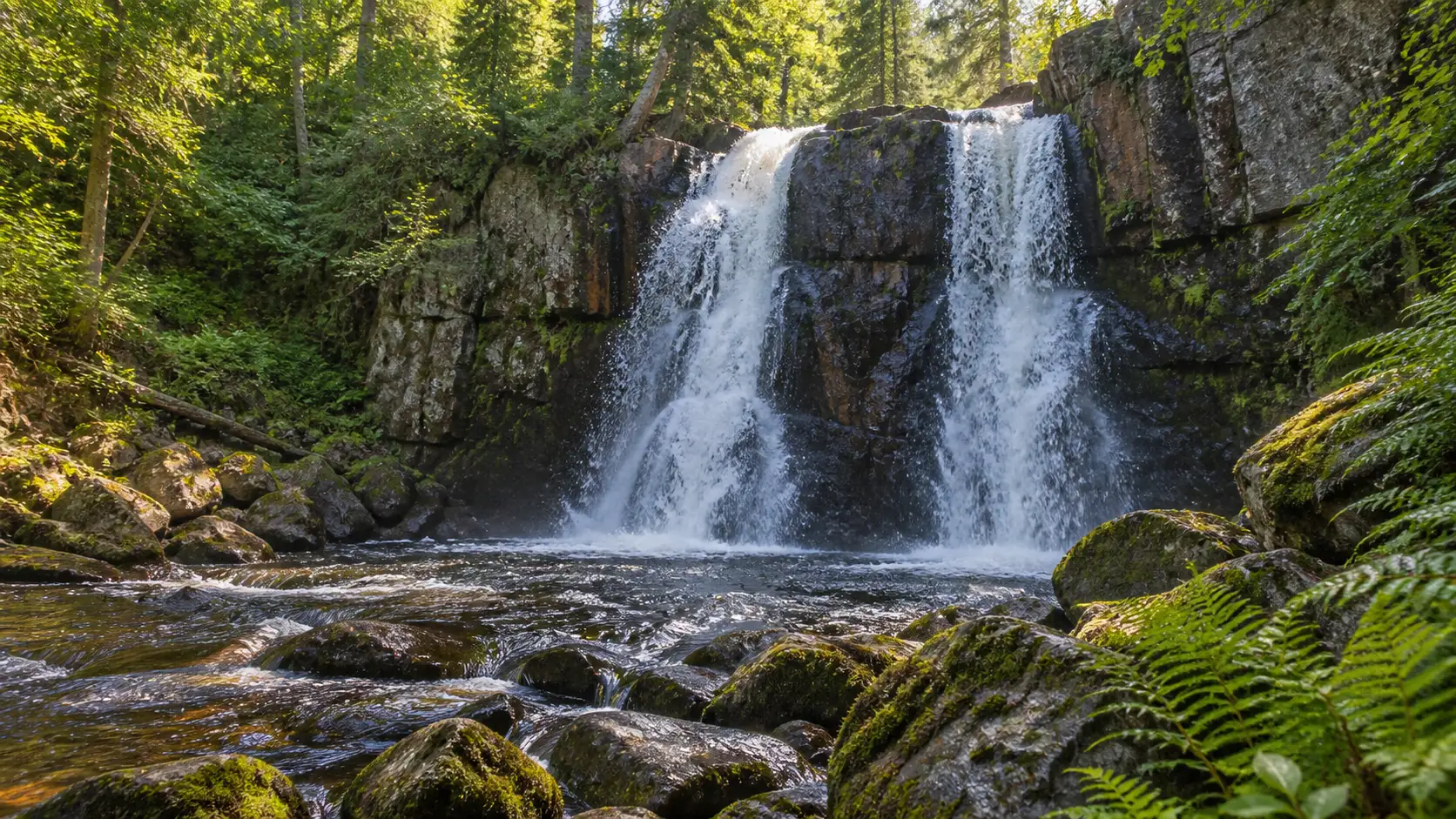
Little Manitou drops 31 feet in two channels and feels closer and more detailed than its much taller neighbor. It is worth treating as a separate stop, especially when high water gives the split cascade real force.
The park identifies accessible paths to overlooks for both major falls, but accessibility can still be affected by weather, snow, or maintenance. I would begin with the overlook and add a longer trail only after checking the day’s footing.
3. Copper Falls, Copper Falls State Park
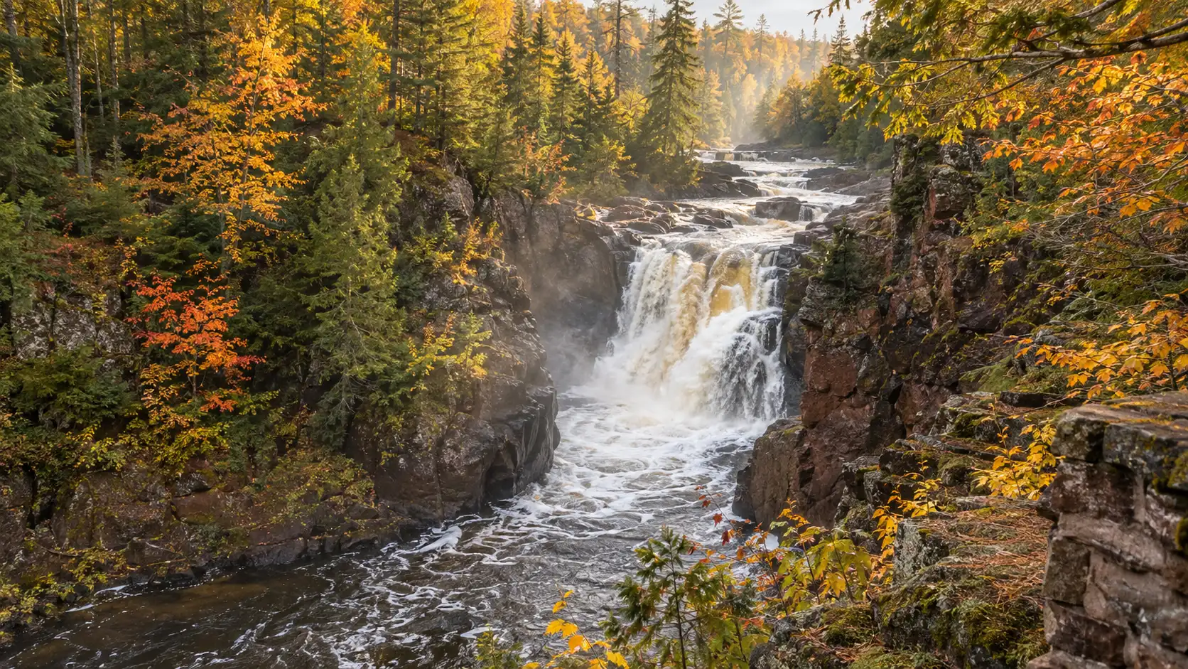
Copper Falls drops 29 feet through a dark, steep-sided gorge near Mellen. The combination of falling water, reddish rock, hemlocks, and CCC-era trail work makes the whole setting more memorable than the height alone suggests.
The classic choice is the 1.7-mile Doughboys Nature Trail, which also reaches Brownstone Falls and views of the Tyler Forks cascades. A separate 0.5-mile universal-access trail leads to a Copper Falls overlook, an excellent alternative when the full loop is a poor fit.
4. Brownstone Falls, Copper Falls State Park
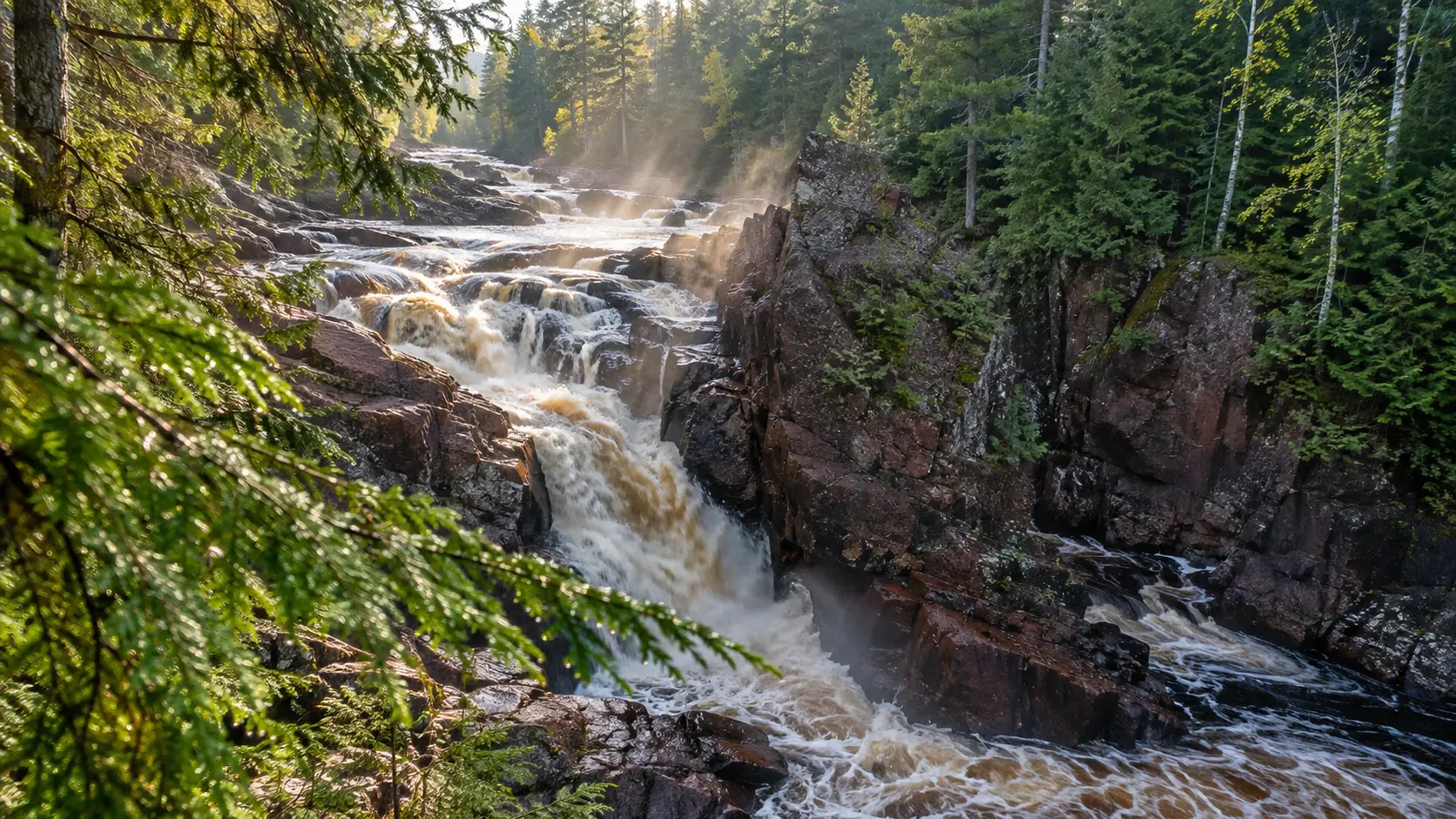
Brownstone Falls forms where the Tyler Forks enters the Bad River gorge, and it earns its place because it changes the character of the hike. Copper is the neat plunge; Brownstone feels more like water being pulled into a rugged canyon.
The official Copper Falls trail descriptions put both falls on Doughboys and warn that pets are not allowed on that trail. Pet owners can use designated alternatives such as Red Granite Falls Trail, but they cannot take a dog to the Copper and Brownstone viewpoints.
5. Tyler Forks cascades, Copper Falls State Park
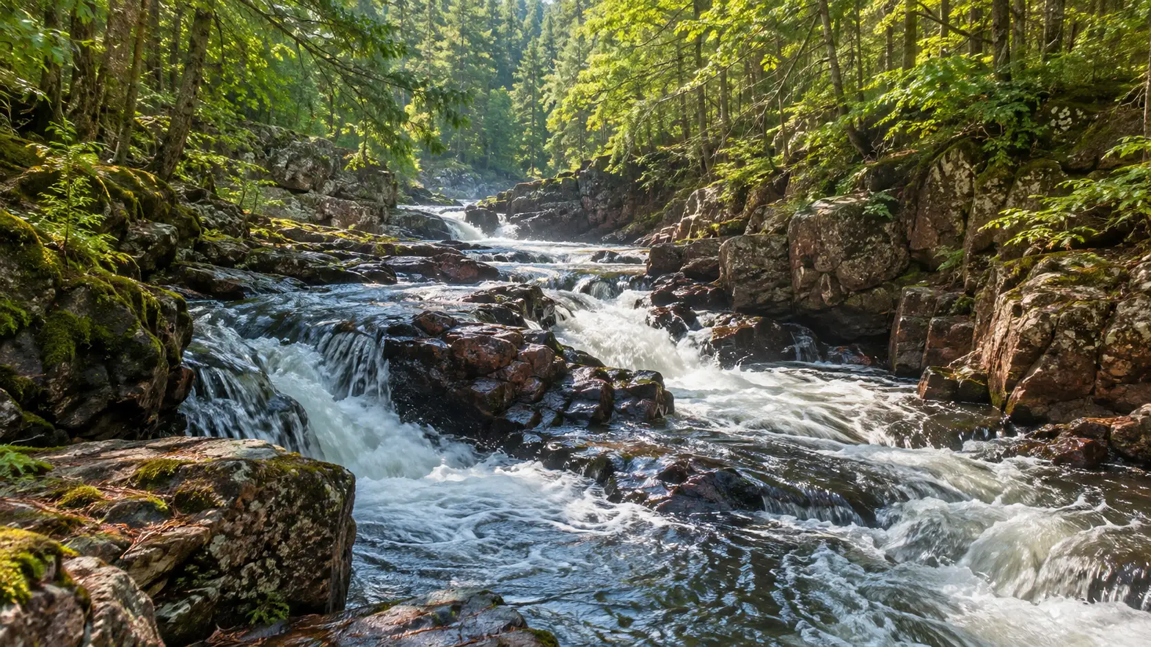
The Tyler Forks cascades are the bonus that turns a two-fall loop into a complete river-and-gorge walk. They are not the place to chase one iconic vertical drop, but they add motion and texture between the named falls.
Allow more time than the 1.7-mile distance might imply because overlooks, stairs, damp surfaces, and photo stops slow the loop. The park is open year-round, but a winter visit can mean snow or ice and a very different trail than the summer version.
6. Upper Falls, Amnicon Falls State Park
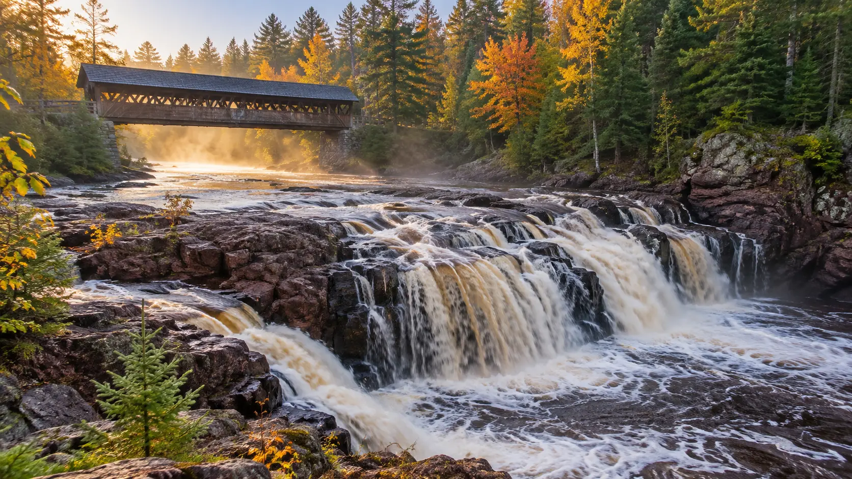
Upper Falls is the most immediately satisfying part of Amnicon’s compact waterfall cluster. The river spreads over ledges near the covered footbridge, so the experience is about moving water at close range rather than a distant overlook.
The DNR describes a quarter-mile island trail that reaches Upper, Lower, and Snake Pit Falls, plus another half-mile along the river for smaller cascades and pools. That unusually efficient layout makes Amnicon my top choice when time is short.
7. Lower Falls, Amnicon Falls State Park
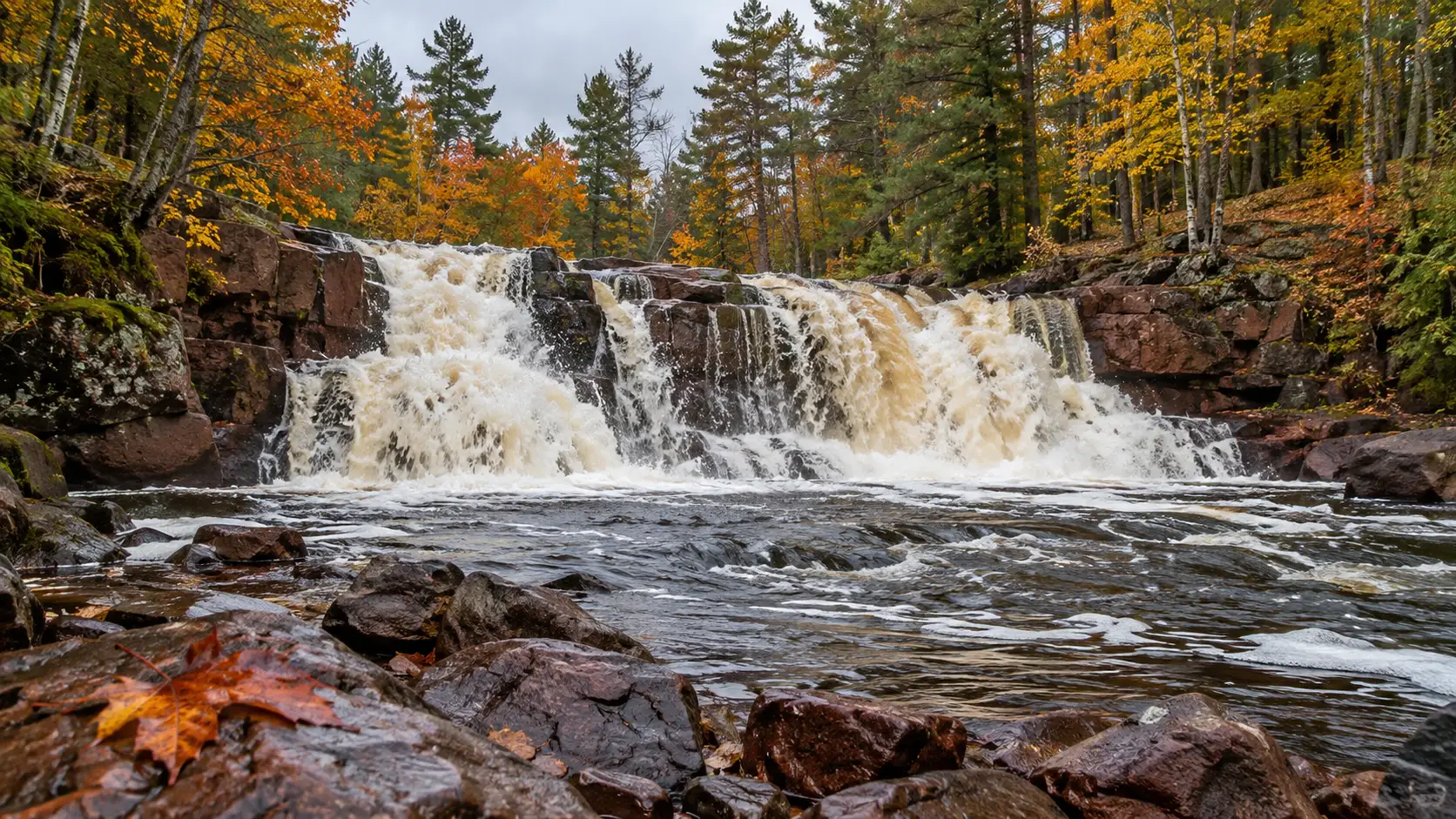
Lower Falls has a broader, rougher profile than Upper Falls and deserves the few extra minutes required to see it from more than one angle. The river’s appearance changes quickly with flow, which is part of Amnicon’s appeal.
Do not let the short trail create false confidence around the water. The park’s recreation guidance says water levels and flows fluctuate, rocks can be slippery, and there is no designated beach or lifeguard.
8. Snake Pit Falls, Amnicon Falls State Park
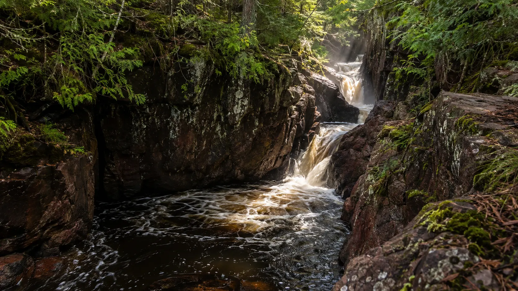
Snake Pit is the moodiest of Amnicon’s three main falls, with water forced through a narrower rocky channel. I would not choose it over Upper Falls as a standalone destination, but together they give the short island loop surprising variety.
Stay on the established trail and viewpoints even when low water exposes tempting rock. Wet stone, undercut current, and a sudden change in flow matter more than getting one cleaner photograph.
9. Willow Falls, Willow River State Park
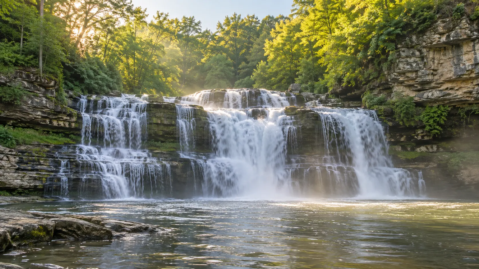
Willow Falls is a wide, layered cascade in a limestone gorge near Hudson, making it the most practical major waterfall for a Twin Cities day trip. It can also be one of the busier choices, so arrive early if you want a calmer trail.
The park has about 13 miles of hiking trails, and the DNR notes that wet leaves, roots, cliffs, and slippery surfaces can complicate even familiar routes. Check Willow River’s current conditions before choosing a trailhead because projects and closures can alter the normal approach.
10. Stephens’ Falls, Governor Dodge State Park
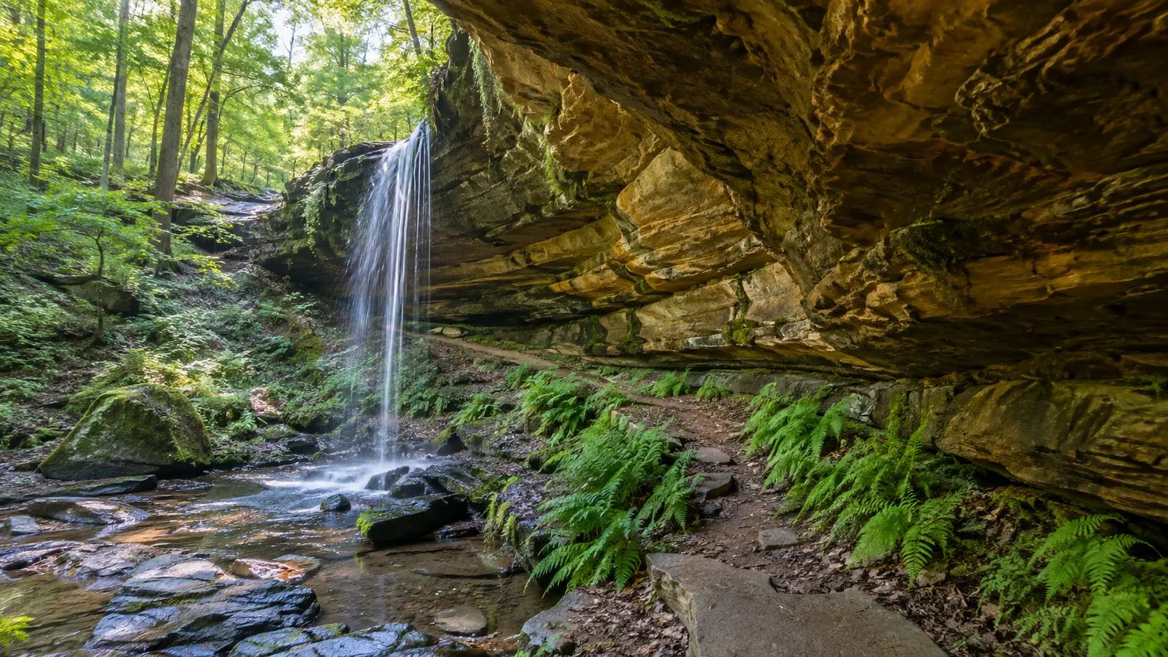
Stephens’ Falls is my favorite southern Wisconsin answer because it sits below a sandstone overhang in a green Driftless Area ravine. It is smaller and gentler than the Northwoods falls, but the setting has its own quiet drama.
The official trail is only 0.5 mile, with a paved route to an overlook above the falls. Reaching the lower view involves stone steps and uneven ground, so the overlook and base should be treated as two different accessibility levels.
11. Lost Creek Falls, Bayfield County
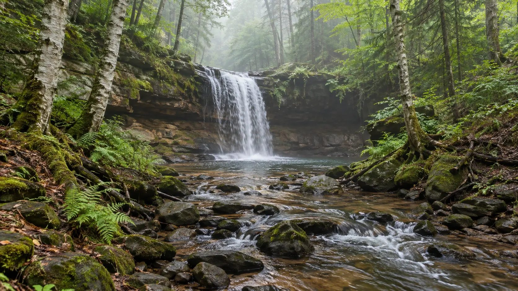
Lost Creek is a small waterfall with a lovely forest approach near Cornucopia, not a roadside photo stop. Choose it when the walk is part of the reward and you want a quieter contrast to Pattison or Amnicon.
Bayfield County’s official waterfall information directs visitors from County Highway C to the trailhead and describes a 1.5-mile signed route with gravel and boardwalk improvements. That means roughly 3 miles round trip, and roots, mud, insects, and seasonal conditions can still matter.
This pairs naturally with Bayfield, but do not squeeze it between a timed boat trip and dinner. If Lake Superior is the larger focus, the Apostle Islands kayaking guide explains how route choice and cold-water planning change that part of the trip.
12. Potato River Falls, Iron County
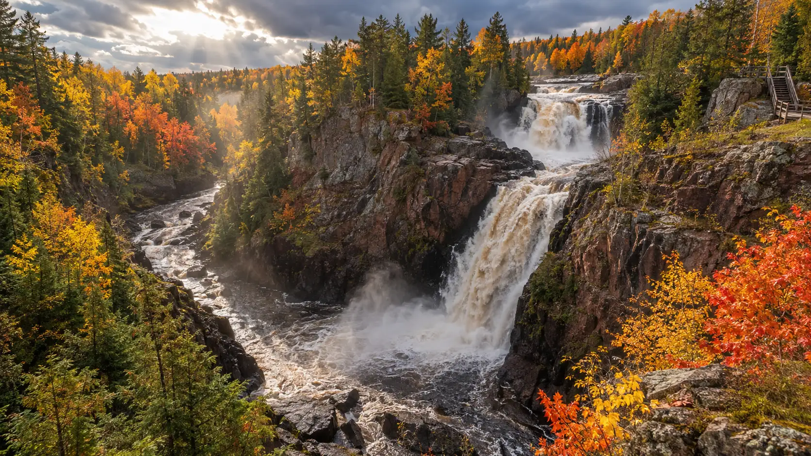
Potato River Falls is a two-drop, roughly 90-foot showpiece near Gurney and one of the strongest reasons to build an Iron County waterfall day. It is also a bad surprise for anyone expecting a flat stroll, because the viewing routes descend many stairs.
Iron County identifies five rustic campsites at the falls, with no water or electricity, and the regional visitor bureau provides local directions. I would visit in daylight, bring drinking water, and turn around if steps are icy rather than treating the descent as mandatory.
13. Upson Falls, Iron County
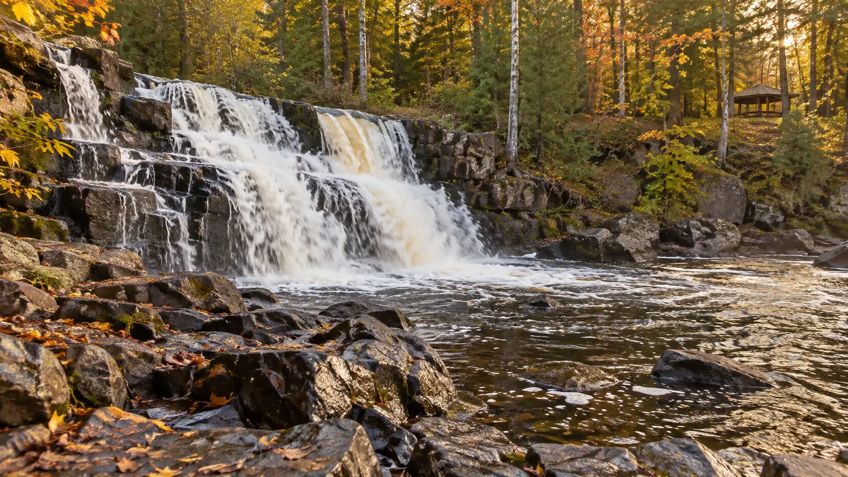
Upson Falls drops about 20 feet on the Potato River inside Upson Town Park. It is less spectacular than Potato River Falls but far easier to combine with a picnic, short walk, or route toward Hurley.
The official local listing describes a short dirt path with a rocky incline for the better view, plus camping and a picnic area. This is the sensible add-on when your group wants another waterfall without committing to another long staircase.
14. Kimball Falls, Iron County
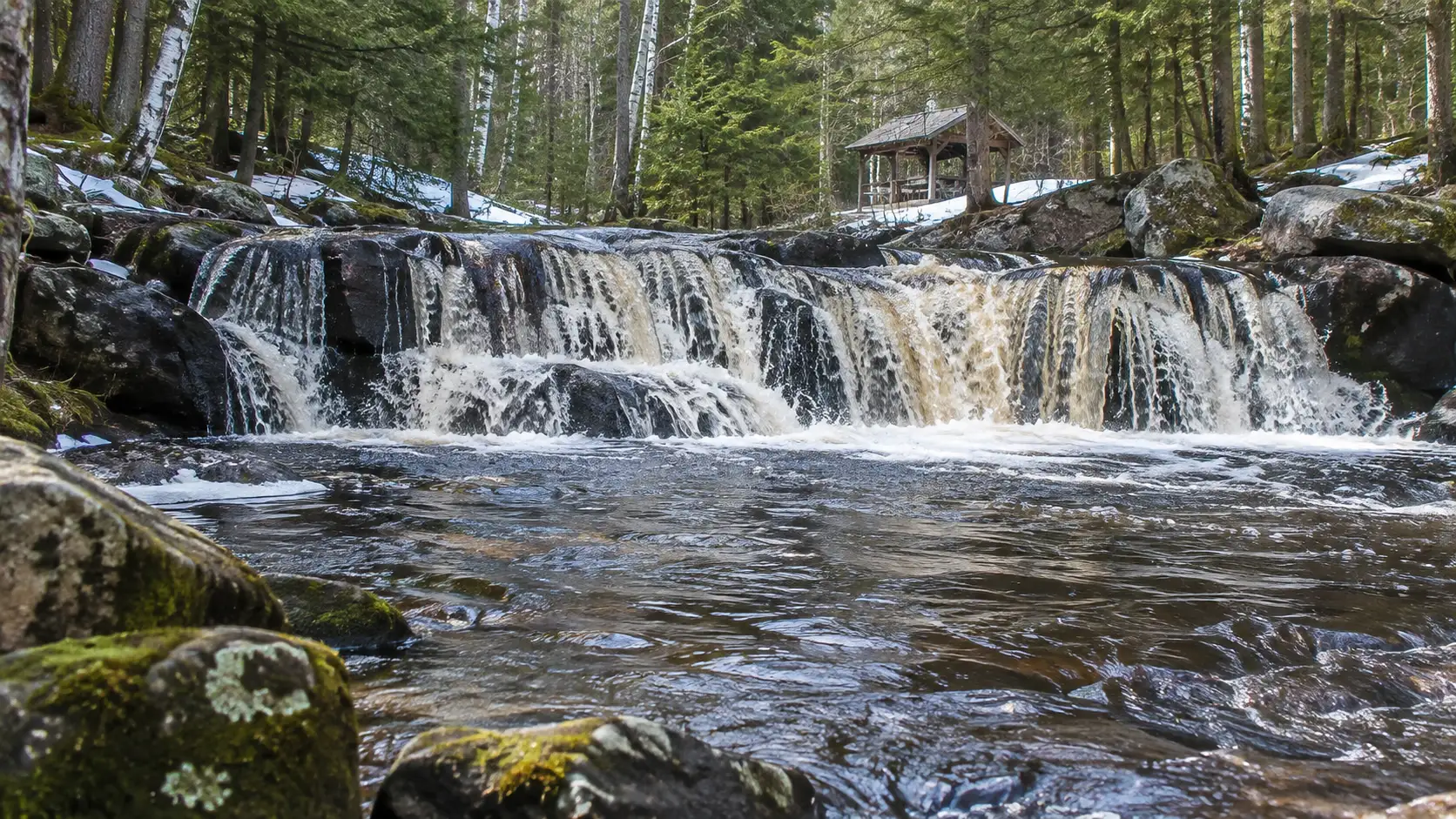
Kimball Falls is a modest 10-foot drop in a town park west of Hurley. It belongs here not because it is enormous, but because parking, a pavilion, and minimal walking make it useful for families and travelers who cannot manage the region’s harder trails.
The local tourism office’s Iron County waterfall directory also lists remote options such as Wren, Foster, Spring Camp, and Rouse Falls. Those require more careful navigation and road-condition judgment, so I would not promote them as casual add-ons without fresh local confirmation.
How to build a Wisconsin waterfall road trip
Superior weekend
Base near Superior and give one day to Pattison plus Amnicon. They are close enough to pair without rushing, yet different enough that the day does not feel repetitive.
Use the second day for Lost Creek and Bayfield only if a 3-mile forest walk suits the group. The Bois Brule River guide is useful if you want to build a wider northwest Wisconsin trip around paddling rather than more driving.
Northwoods waterfall loop
Stay near Mellen, Ashland, or Hurley for Copper Falls, Potato River Falls, Upson Falls, and Kimball Falls. Two days are better than one because trail time, rural roads, and changing weather make a tightly timed loop fragile.
Download maps before leaving town and start with the highest-priority stop. Cell service, seasonal road quality, and daylight are all less dependable than the cheerful cluster of map pins suggests.
Southern and western weekend
Pair Stephens’ Falls with other Driftless Area scenery, or visit Willow Falls from the Twin Cities. They do not belong in the same short itinerary because driving between them consumes time better spent outside.
For a broader plan, compare waterfall days with these Wisconsin day-trip ideas. A single well-chosen region is almost always better than zigzagging across the state.
When to visit Wisconsin waterfalls
Spring usually brings the strongest flow, but it can also bring mud, cold water, flood conditions, and damaged trails. Summer offers longer days and greener scenery, though smaller falls may weaken during a dry spell.
Fall adds color and cooler hiking weather, while fallen leaves can hide roots and make wet rock slick. Winter can be beautiful, but ice changes both access and risk, and some rural roads or park facilities may not receive the service visitors expect.
Check the managing agency on the morning of the visit, especially after storms or during construction. A state park vehicle-admission sticker does not cover every county or town property, and facilities outside staffed parks may be very limited.
What to bring
- Grippy shoes suited to mud, roots, stairs, and wet rock
- Offline maps and a charged phone or backup battery
- Drinking water, snacks, insect repellent, and sun protection
- A rain layer and a warm layer near Lake Superior
- Trekking poles if long stairways or uneven descents are difficult
- A leash only where the chosen trail permits pets
Wisconsin’s best waterfall trip is not the one with the highest count. Pick one geographic cluster, match the trail to the least mobile person in your group, and leave enough flexibility for weather or high water to change the plan.