Beaches in Qualicum: Tides, Access and the Best Shorelines
Qualicum Beach is not one beach experience all day. The same shoreline can be a broad tidal playground in the morning and a narrow strip beside the seawall hours later, so the best choice depends on tide, wind, swimming plans, mobility needs, and whether you mean the town or the wider Oceanside region.
Pick the Beach That Fits Your Day
- Best first stop: central Qualicum Beach waterfront for facilities, food, and easy orientation.
- Best quiet viewpoint: Seaside Nature Park at the west end of the waterfront.
- Best nature-focused stop: Saahtlam Park and the nearby river mouth.
- Best full family beach day: Rathtrevor Beach Provincial Park near Parksville.
- Best birding: the managed viewpoints around the estuaries, without entering restricted habitat.
- Best plan without a car: stay near town and concentrate on the central waterfront.
The name causes confusion: Qualicum Beach is both a town and the shoreline along it, while tourism material often groups Parksville and Qualicum Beach into one destination. Rathtrevor, French Creek, Qualicum Bay, and neighborhood access points can belong in the same vacation, but they do not share one set of facilities or rules.
Qualicum Beach Waterfront Is the Practical All-Rounder
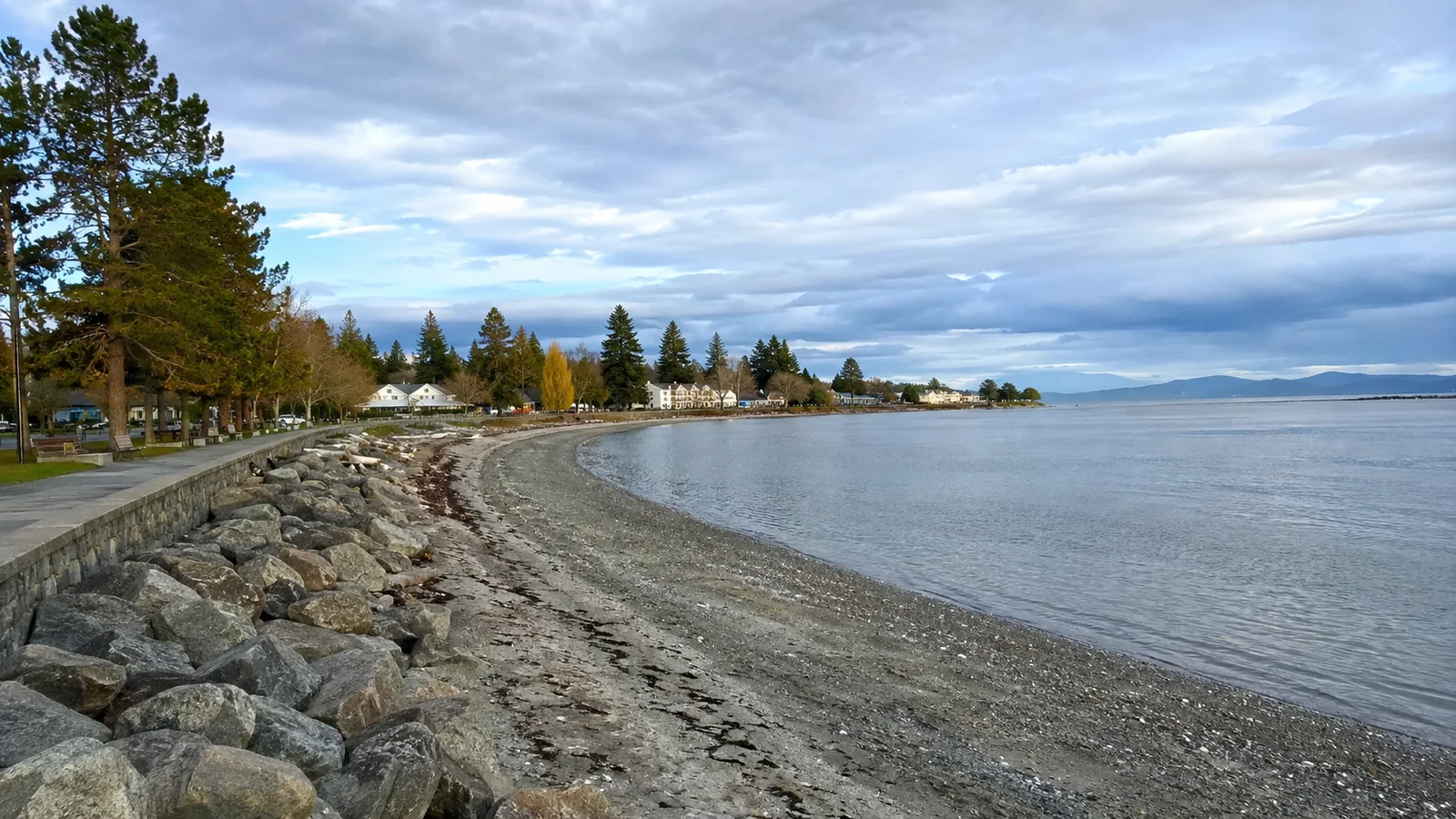
Start at the central waterfront if this is your first visit. The Town of Qualicum Beach lists public washrooms, a boat ramp, a concession, mobile food and recreation vendors, and a viewing platform among the features on its official parks and beaches page.
This is the best place to combine a shoreline walk with a snack, a bench, and a shorter return to the car. It is also the most forgiving choice when a group includes people who want very different amounts of beach time.
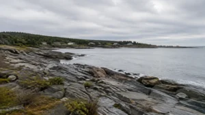
The beach itself changes dramatically with the tide. At lower water, the exposed shore invites long walks and shallow exploration, while higher water pushes the usable strip closer to the seawall and makes a blanket-based beach day less spacious.
Do not promise children miles of soft, dry sand based on a single photograph. Bring sturdy water shoes for shells, pebbles, barnacles, and uneven patches, then use a towel or compact chair rather than expecting a resort-style lounger setup.
Seaside Nature Park Is for Looking, Not a Big Setup
At the waterfront’s west end, Seaside Nature Park offers a covered pavilion, an elevated 180-degree viewpoint, birdwatching, and native-plant interpretation. It is a better stop for binoculars, changing weather, and a quiet pause than for spreading a large family camp across the shore.
Visit near sunrise for gentle light or when wind makes sitting on the open beach uncomfortable. Keep voices low around feeding birds and stay on established surfaces rather than creating shortcuts through shoreline vegetation.
Saahtlam Park Adds Place and Meaning
Saahtlam Park occupies waterfront land near Buller Road and Highway 19A at the mouth of the river. The town explains that Saahtlam means “the green at the mouth of the river,” a name gifted by Qualicum First Nation.
Treat it as a small waterfront park and interpretive stop, not a guaranteed swimming beach with every amenity. River mouths can have colder water, current, sensitive habitat, and changing sediment, so they demand more caution than a shallow-looking photo suggests.
The Town of Qualicum Beach acknowledges that it sits on the ancestral and unceded territory of Coast Salish peoples and is home to Qualicum First Nation. Visitors can show respect by using the place names provided, following closures, and leaving cultural objects exactly where they are found.
Neighborhood Access Is Not the Same as a Park
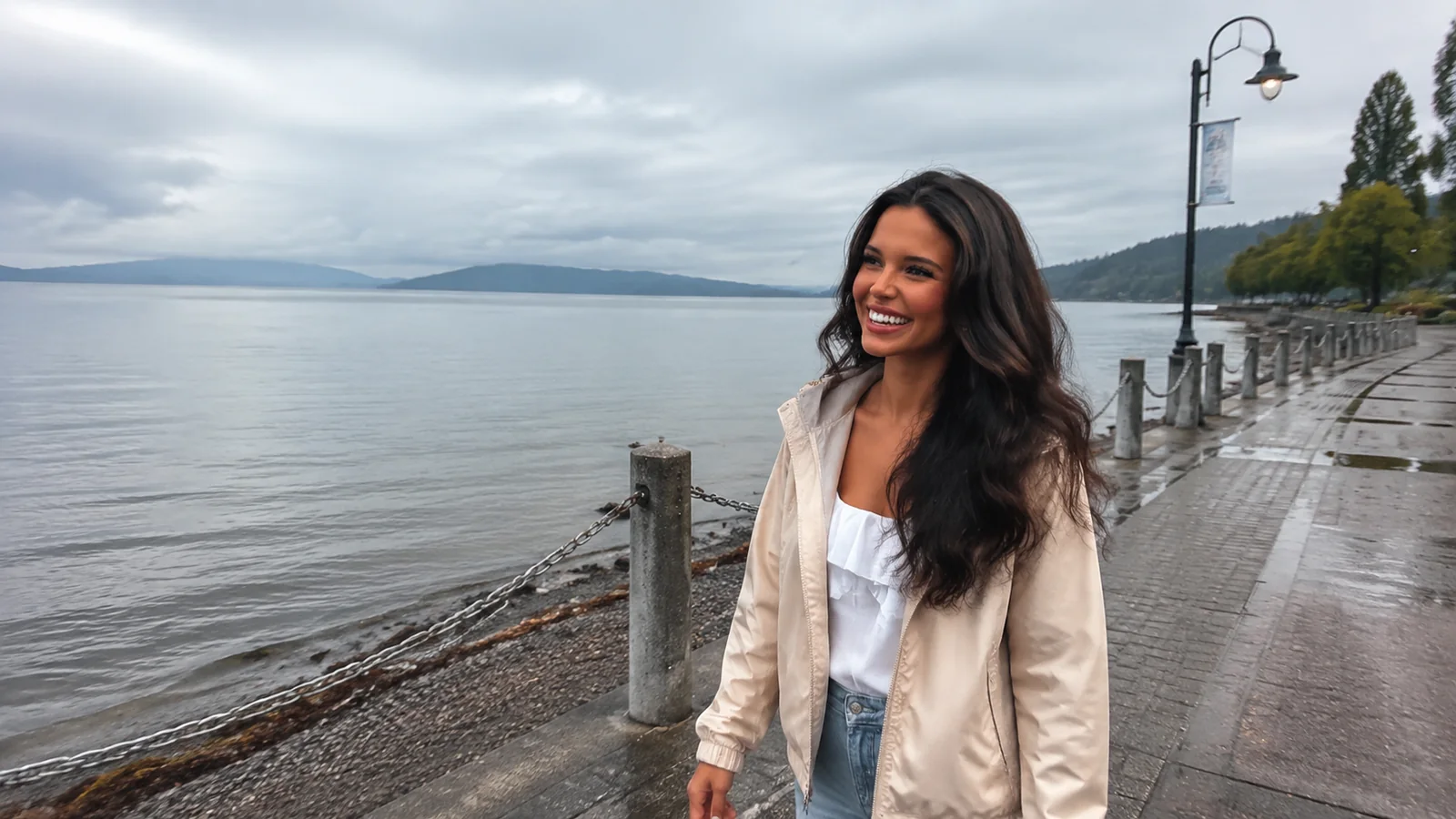
Small public access points appear along the coast around French Creek, Columbia Beach, and Surfside. They can be lovely for a short walk or sunset, but parking, turnaround room, toilets, accessible surfaces, and beach width may be minimal or absent.
Use local government maps and on-site signs to distinguish public access from a tempting gap between homes. Never block a driveway, move a barrier, park on vegetation, or assume a private stairway becomes public below the high-water line.
These access points are strongest for travelers staying nearby who can walk in and carry everything out. For a family arriving with coolers, mobility equipment, and several hours of gear, the central waterfront or Rathtrevor is the more dependable choice.
Rathtrevor Is Nearby, but It Is Not Qualicum Beach
Rathtrevor Beach Provincial Park lies south of Parksville, not in the Town of Qualicum Beach. It earns a place in this guide because it is the region’s clearest choice for a full beach day, campground stay, picnic, and easy forest walk.
BC Parks says its 1.2-mile beach can expose close to 0.6 mile of shore at low tide, and returning water warms as it crosses sun-heated sand. The official Rathtrevor page also lists a large day-use area and 3.4 miles of generally easy walking trails, most of them wheelchair accessible.
“Warm” is relative to local conditions, and no family should interpret it as a water-temperature guarantee. Wind, tide timing, cloud cover, season, and personal cold tolerance still determine whether swimming feels comfortable.
Very low water can make carrying a paddlecraft to the sea impractical, and the park does not have a boat launch. BC Parks identifies French Creek Marina as the nearest launch, so a casual beach arrival is not a substitute for a paddling plan.
Rathtrevor is popular enough that summer camping reservations matter. Day visitors should still arrive early on hot weekends, bring a backup lunch, and check the current park advisories before driving over.
Protect the Estuaries and Wildlife
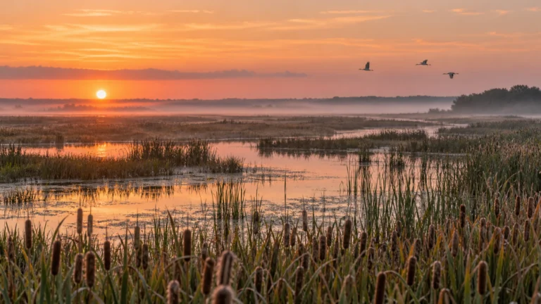
The Parksville Qualicum Beach Wildlife Management Area contains estuaries, beaches, and foreshore gravel bars used by Pacific brant and many other water birds. The productive shallows also support salmon, steelhead, and coastal cutthroat trout habitat.
At the Little Qualicum River Estuary, public access to the 11-acre sand spit is restricted for conservation. The Regional District’s official page directs visitors toward the generally accessible wildlife management area rather than presenting the spit as another beach to enter.
That boundary should guide the whole trip: a sandbar visible from the road is not automatically a recreation zone. Observe birds from distance, keep out of flocks, do not fly a drone without confirming every applicable rule, and avoid letting children or dogs chase wildlife.
Leave live sand dollars, crabs, shellfish, sea stars, driftwood habitat, and attached organisms in place. A beachcombing find can be alive even when it is motionless, and harvesting is governed separately from casual shoreline access.
Time the Tide Before You Leave
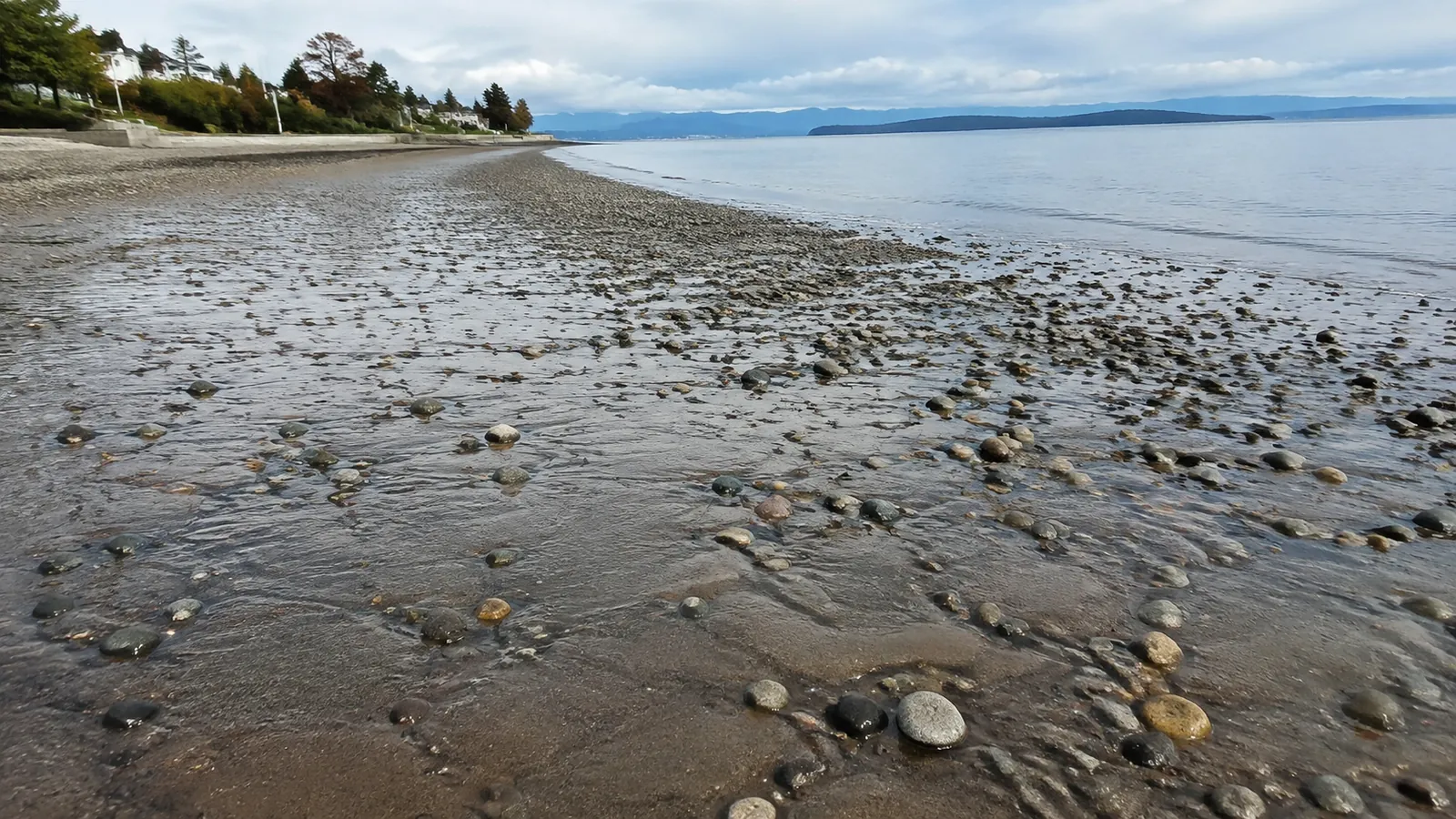
Low tide is usually best for long walks, tide-flat exploration, and giving children room to roam away from the road. A rising tide can be better for a swim because water crosses warmed shallows, while high tide may be prettier from the promenade but leave less beach.
Use Fisheries and Oceans Canada’s official tide and water-level service and choose the closest suitable station. Do not reuse yesterday’s tide time because the daily cycle shifts, and do not assume a prediction accounts for wind-driven water, waves, or every local channel.
If walking far onto flats, turn back earlier than seems necessary. Water can refill lower channels first and make the direct return wetter, slipperier, and slower than the outward walk.
Tide pools are best explored with small steps and hands off. Barnacles cut, algae-covered rocks slip, and lifting rocks can damage the animals underneath even when every stone is carefully replaced.
Swimming Requires More Than a Sunny Forecast
The protected east coast of Vancouver Island can look calm, but shallow water, boat traffic, current near river mouths, cold exposure, and sudden wind remain real. Swim with another person, closely supervise children, avoid diving into opaque shallow water, and use a properly fitted life jacket for paddling.
Beach water quality can also change after heavy rain, runoff, sewage problems, wildlife concentration, or other local activity. Island Health explains its monitoring and directs swimmers to current notices on its recreational beach reports page.
Read signs at the beach even if an online page showed no advisory the night before. If water looks or smells unusual, a discharge is visible, or an advisory is posted, keep people and pets out until the responsible authority lifts it.
On breezy days, an inflatable toy can leave shore faster than a swimmer can follow. Keep inflatables close, never use them as lifesaving equipment, and do not attempt a rescue that puts another person in danger.
Beach Access and Mobility
The central waterfront gives most visitors the shortest path to washrooms, food, and viewing areas, but shoreline surfaces remain uneven and tidal. An accessible viewpoint does not necessarily mean a wheelchair can cross loose material to the waterline.
Rathtrevor has many wheelchair-accessible trails, yet the final transition onto sand can still be the limiting step. Ask the park or town about current surfaces, accessible parking, toilet status, construction, and any temporary mobility equipment before planning around a specific feature.
A folding chair near the promenade can be a better experience than forcing a difficult sand crossing. Build the outing around the best view and comfort, not around an arbitrary requirement that everyone touch the water.
Dogs Need a Separate Plan
In Qualicum Beach, dogs must be leashed in public areas, including the beach walkway. Seasonal habitat protection and site-specific signs can add restrictions, so do not rely on what another beach allowed earlier in the trip.
Rathtrevor prohibits pets in the sandy day-use area along the east shore throughout the year. Leashed pets are allowed on the beach’s north section beside the campground only during the dates specified by BC Parks, and owners must clean up waste.
Bring drinking water and a towel for paws, then choose a legal exercise stop before the family beach session. That is kinder to the dog and far easier than negotiating restrictions after unloading the car.
Parking, Walking, and Getting Around
Highway 19A follows the waterfront, which makes the main beach easy to locate but also places traffic close to portions of the promenade. Use marked crossings, keep children on the landward side where practical, and do not unload into a travel lane.
Summer parking is easiest early in the day or later toward dinner. Save the town’s service-alert page, obey temporary event signs, and never assume a shoulder is legal parking because another car is there.
Travelers staying near the town center can walk to the waterfront, but the return involves elevation and may feel longer with beach gear. The Rodway Trail connection includes a steep embankment and engineered stairs, so it is not a universal step-free shortcut.
A vehicle is useful for Rathtrevor, estuary viewpoints, waterfalls, and scattered access points. If this stop is part of a longer Canada road trip, give central Vancouver Island at least two nights instead of treating every beach as a roadside photo.
Best Season for Qualicum Beaches
July and August provide the most dependable beach-day setup, but they also bring peak demand, busier parking, and no promise of tropical water. June and September can be excellent for walking and birding when you pack a wind layer and accept a cooler swim.
Spring is especially rewarding for migration and changing shoreline life, while winter is for storm watching from a safe, elevated position. Never stand on logs or the water’s edge during rough weather because waves can move heavy driftwood without warning.
A gray day is not wasted here. Pair a short waterfront walk with cafés, galleries, or a forest outing, then use this Vancouver Island waterfall planner to select a managed trail whose current conditions suit the group.
Two Easy Beach-Day Plans
The Qualicum Beach Day
Check the tide, begin at Seaside Nature Park, and walk the waterfront toward the central washrooms and food options. Pause at the viewing platform, have lunch in town, then return near a different tide stage to see how completely the shore changes.
The Family Sand Day
Arrive at Rathtrevor in the morning with lunch, sun protection, water shoes, and dry layers. Explore the flats around lower tide, move toward a safe swimming area as water returns, and finish with an easy forest trail rather than adding another distant beach.
Travelers continuing south can use this Victoria planning guide to understand how city waterfront time differs from a dedicated central-island beach stay. Qualicum works best when the shore is the day, not a rushed detour between Nanaimo and Victoria.
What to Pack
- Water shoes with a secure heel and a warm layer for wind.
- Reef-conscious sun protection, hats, and more drinking water than expected.
- Binoculars for wildlife viewing without approaching birds.
- A compact chair or thick blanket for pebbly and damp ground.
- Dry clothes for children and a waterproof bag for phones and keys.
- An offline map, tide screenshot, and current advisory information.
The Honest Bottom Line
Choose central Qualicum Beach for convenience, Seaside Nature Park for quiet observation, Saahtlam for a small place-based stop, and Rathtrevor for the region’s most complete family beach day. Skip restricted spits and poorly defined access points when the public route is not obvious.
The tide makes more difference than any ranked list. Check it, match the shore to your group, protect the estuaries, and leave enough time to watch the same coastline become a completely different beach.