A Realistic 14-Day Great Lakes Road Trip Itinerary
The Great Lakes are too large for one breezy weekend loop. This 14-day route starts and ends in Chicago, touches Lakes Michigan, Erie, Huron, and Superior, and leaves enough time for dunes, ferries, waterfalls, and weather delays without pretending Lake Ontario is just around the corner.
What this Great Lakes road trip actually covers
The route runs about 1,500 miles before local detours, moving counterclockwise through Indiana, lower Michigan, the Straits of Mackinac, Michigan’s Upper Peninsula, Wisconsin, and back to Chicago. Your exact total will change with lodging, trailheads, scenic drives, and roadwork.
Lake Ontario is not on the core loop because adding Niagara Falls and the Ontario shoreline creates several long transfer days. If seeing all five lakes matters more than relaxed park time, add at least four or five days after Detroit for Cleveland, Niagara Falls, and Lake Ontario, then accept a much longer return north.
Twelve days can work by cutting Detroit to one night, skipping Marquette, and giving Door County one day. Ten days turns this into a windshield trip, especially when a canceled boat or ferry crossing shifts the schedule.
Great Lakes road trip at a glance
- Day 1: Chicago lakefront
- Day 2: Indiana Dunes National Park
- Day 3: Lake Erie stop and Detroit
- Days 4 and 5: Traverse City and Sleeping Bear Dunes
- Day 6: Mackinaw City and the Straits
- Day 7: Mackinac Island
- Day 8: Tahquamenon Falls and Whitefish Point
- Days 9 and 10: Pictured Rocks National Lakeshore
- Day 11: Marquette
- Days 12 and 13: Door County
- Day 14: Milwaukee and return to Chicago
Book the least flexible pieces first: Mackinac Island lodging or ferry parking, a Pictured Rocks cruise, national-park camping, and Door County weekends. Keep ordinary city meals and roadside stops loose so lake weather can rearrange the trip.
Days 1 and 2: Chicago and Indiana Dunes
Day 1: start on Chicago’s lakefront
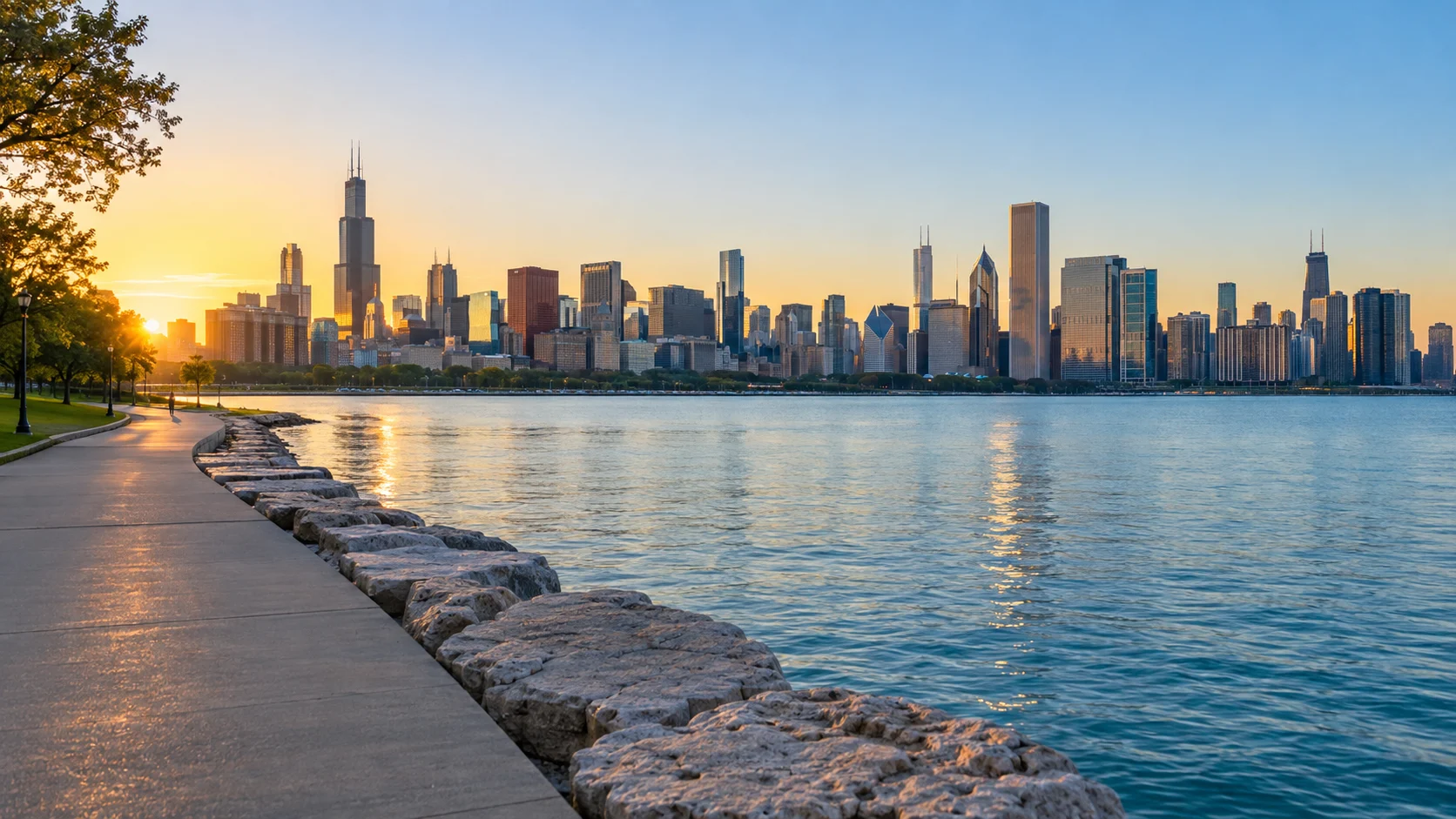
Pick up the car after Chicago rather than paying to store it while you use trains and walk downtown. Spend the first day along Lake Michigan at the Riverwalk, lakefront trail, Museum Campus, or one major museum, then sleep near the city or on the south side of the metro area.
If you already know Chicago, land in the morning and drive toward Indiana before rush hour builds. Never schedule a nonrefundable park activity immediately after a flight, because baggage, rental counters, and construction can erase the cushion.
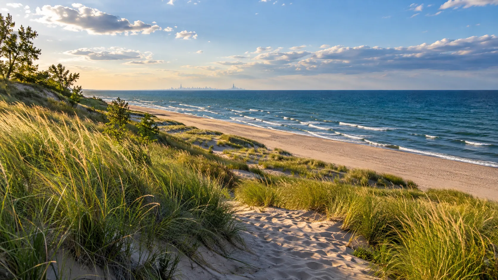
Day 2: Indiana Dunes National Park
Indiana Dunes protects 15 miles of Lake Michigan shoreline and more than 50 miles of trails across beaches, dunes, wetlands, prairie, and woods. The National Park Service trip planner explains the park’s scattered layout, which is important because there is no single gate where every trail begins.
Choose one beach and one trail instead of chasing every unit. West Beach works well for dunes and boardwalks, while the quieter eastern sections may suit birders and travelers continuing toward Michigan.
National park and Indiana Dunes State Park fees are separate, even though the properties interlock on a map. Confirm which parking lot and pass your chosen trail requires before leaving the hotel.
Sleep around Chesterton, New Buffalo, or farther east if you want a shorter drive tomorrow. Beach parking can fill on hot weekends, so an early start solves more problems than a complicated backup list.
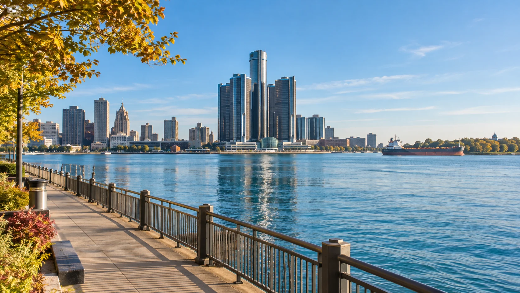
Day 3: Lake Erie and Detroit
Drive roughly 180 to 230 miles toward southeastern Michigan, depending on your overnight base and chosen Lake Erie stop. Sterling State Park near Monroe offers direct Lake Erie shoreline, while Pointe Mouillee appeals more to birders who understand seasonal hunting and wildlife-area access.
Give Lake Erie a few hours, then continue to Detroit for architecture, music history, the riverfront, or the Detroit Institute of Arts. Detroit sits on the river connecting Lake St. Clair to Lake Erie, so the separate shoreline stop is what honestly puts Lake Erie on this itinerary.
Do not leave luggage visible at a trailhead or urban parking structure. Move bags into the trunk before arriving, lock the vehicle, and take passports, medication, electronics, and car keys with you.
Sleep in Detroit or its northern suburbs, depending on tomorrow’s plan. A downtown evening is worthwhile, but lodging north of the core trims part of the drive toward Traverse City.
Days 4 and 5: Traverse City and Sleeping Bear Dunes
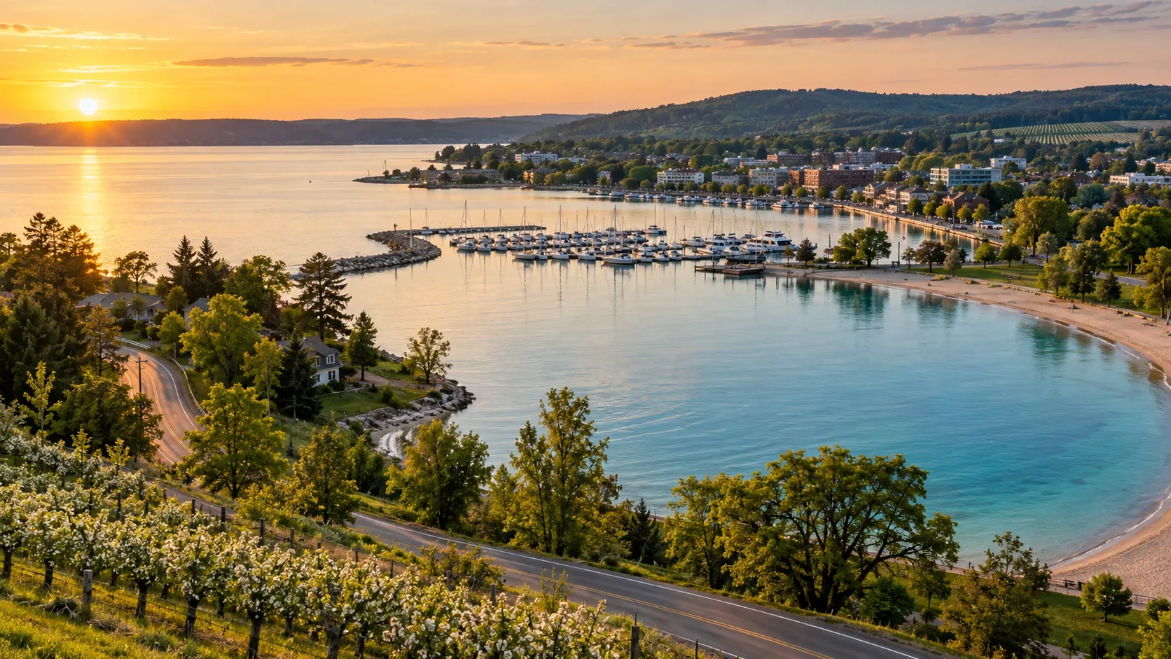
Day 4: drive north without overpacking the day
Detroit to Traverse City is about 250 miles and usually consumes most of a practical travel day once fuel, food, construction, and scenic pauses are included. Arrive in time for a lakefront walk and dinner rather than promising yourself a major dune hike at sunset.
Base in Traverse City for restaurants and services or farther west near Empire and Glen Arbor for faster park mornings. Summer and fall weekends book early, and a charming rural address may sit 30 or 40 minutes from the entrance you expect to use.
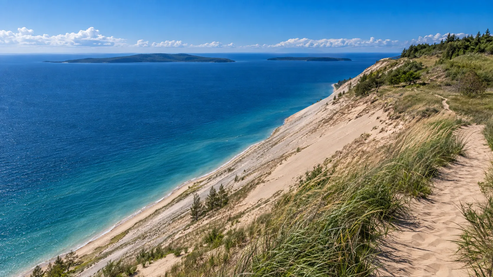
Day 5: Sleeping Bear Dunes National Lakeshore
Start at the Philip A. Hart Visitor Center or download current maps before cell service weakens.
The park pass covers federal sites, while campgrounds require separate reservations.
Drive Pierce Stocking Scenic Drive when it is open, stop at designated overlooks, and choose either a moderate trail or relaxed beach time. The National Park Service lists the drive as seasonal, generally open to vehicles from late May into late October, with weather and maintenance controlling the actual dates.
The famous Lake Michigan Overlook is high above the water, and the steep sand descent is far easier than the climb back. Do not descend unless you can return without rescue, extra water, or assistance from someone else.
In 2026, North and South Manitou Island access is limited by major dock construction, so do not build this itinerary around an island ferry without checking current service. The park’s active access notice is more reliable than an older excursion listing.
Days 6 and 7: Mackinaw City and Mackinac Island
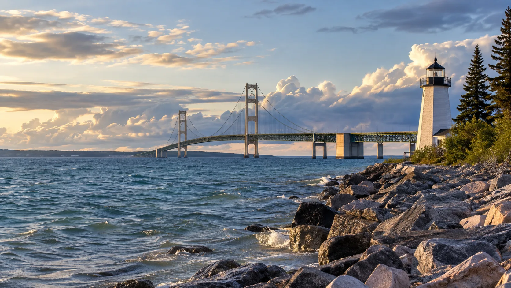
Day 6: Traverse City to the Straits
The direct drive to Mackinaw City is roughly 110 miles, but Petoskey, Harbor Springs, and shoreline roads can turn it into a full scenic day. Choose the direct highway if you want time at Colonial Michilimackinac or the bridge viewpoints.
Mackinaw City and Mackinac Island use different spellings, a tiny detail that matters when entering a hotel or ferry terminal. Mackinaw City is on the Lower Peninsula, while St. Ignace is across the Mackinac Bridge in the Upper Peninsula.
Bridge conditions, wind restrictions, and construction can change crossing times. Fuel before remote stretches and keep tomorrow’s ferry confirmation available offline.
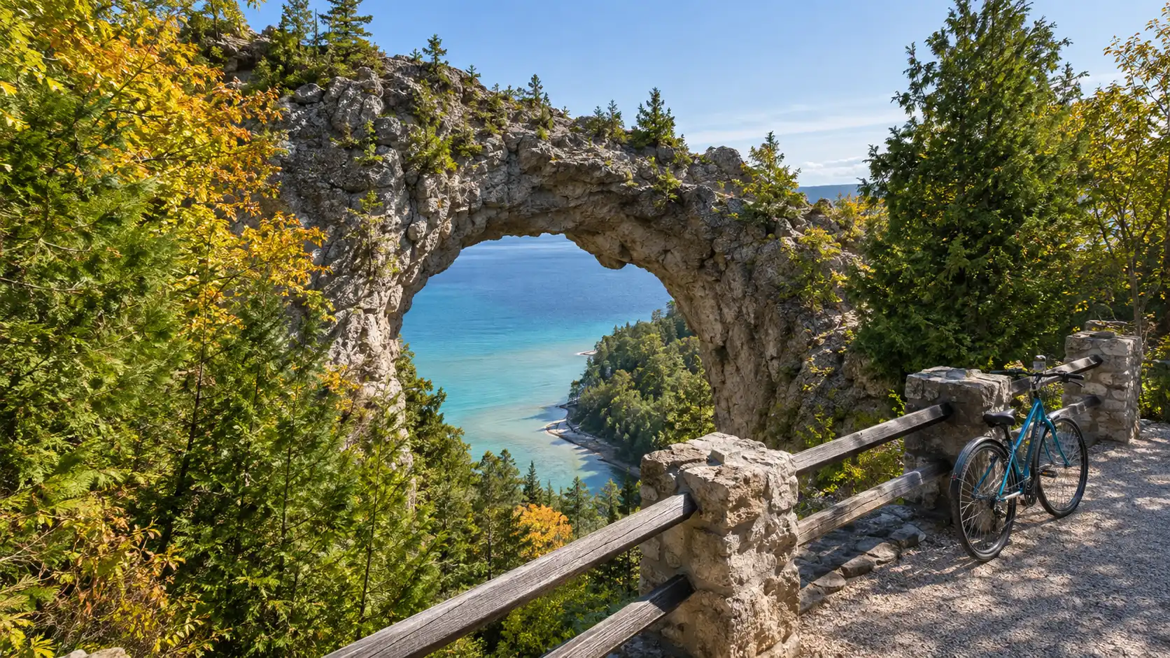
Day 7: leave the car on the mainland
Mackinac Island is reached by ferry, private boat, or small aircraft, and ordinary visitor cars stay on the mainland. Official island guidance says day and overnight parking are available in Mackinaw City and St. Ignace for a fee, with terms varying by ferry company.
Check the current ferry and parking guidance, then arrive early enough to park, unload, tag luggage, and board without sprinting. Fog, wind, mechanical issues, and shoulder-season schedules can reduce departures.
On the island, walk, bike, take a horse-drawn carriage, tour Fort Mackinac, or circle part of the shore. A full island circuit is about 8 miles, so a rental bicycle is useful only if your group is comfortable around other cyclists and horse traffic.
Day-trippers can return to the same mainland base, while an island overnight creates a quieter evening after ferry crowds leave. Confirm the last boat rather than assuming frequent afternoon service continues late.
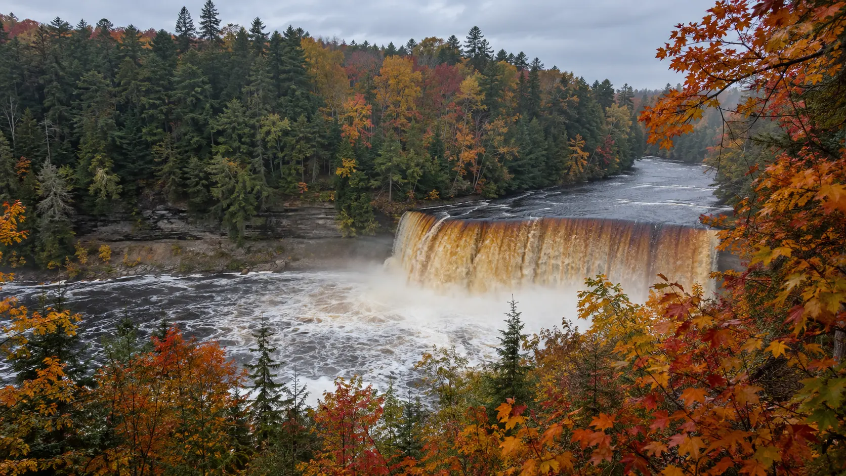
Day 8: Tahquamenon Falls and Whitefish Point
Cross from the Straits toward Tahquamenon Falls State Park, about 80 miles from St. Ignace before detours. The Upper and Lower Falls occupy different areas, so allow time to park, walk, and drive between them.
Continue to Whitefish Point only if daylight and weather cooperate. The Great Lakes Shipwreck Museum, lighthouse area, and Lake Superior shore add maritime history, but seasonal hours mean this is not a dependable winter add-on.
Sleep around Paradise for a quiet night or drive on toward Grand Marais or Munising. Staying near Munising lengthens today but puts you in position for a morning Pictured Rocks cruise.
Watch for deer and other wildlife, especially near dawn and dusk. Cell service can be weak, fuel stations spread out, and nighttime rain or fog makes the forest roads more demanding than mileage suggests.
Days 9 and 10: Pictured Rocks National Lakeshore
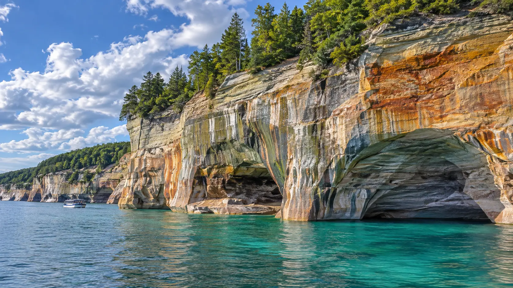
Day 9: see the cliffs from the water
Pictured Rocks stretches along Lake Superior between Munising and Grand Marais, and the most colorful cliff section is best understood from the water. Reserve an authorized boat cruise early in the trip so Day 10 can absorb a weather cancellation.
Morning departures often encounter calmer conditions, but Lake Superior guarantees nothing. A captain may alter or cancel the route when wind, waves, fog, or storms make the cliffs unsafe.
A personal recreational kayak is not an appropriate substitute after a cruise cancels. The National Park Service kayaking guidance warns that Lake Superior conditions are hazardous, requires a life jacket for each person, and recommends proper sea kayaks rather than short recreational boats.
Travelers who want guided paddling can compare this with the practical issues in planning a Lake Superior kayak outing. Choose a reputable outfitter, disclose ability honestly, and accept cancellation without pressuring the guide.
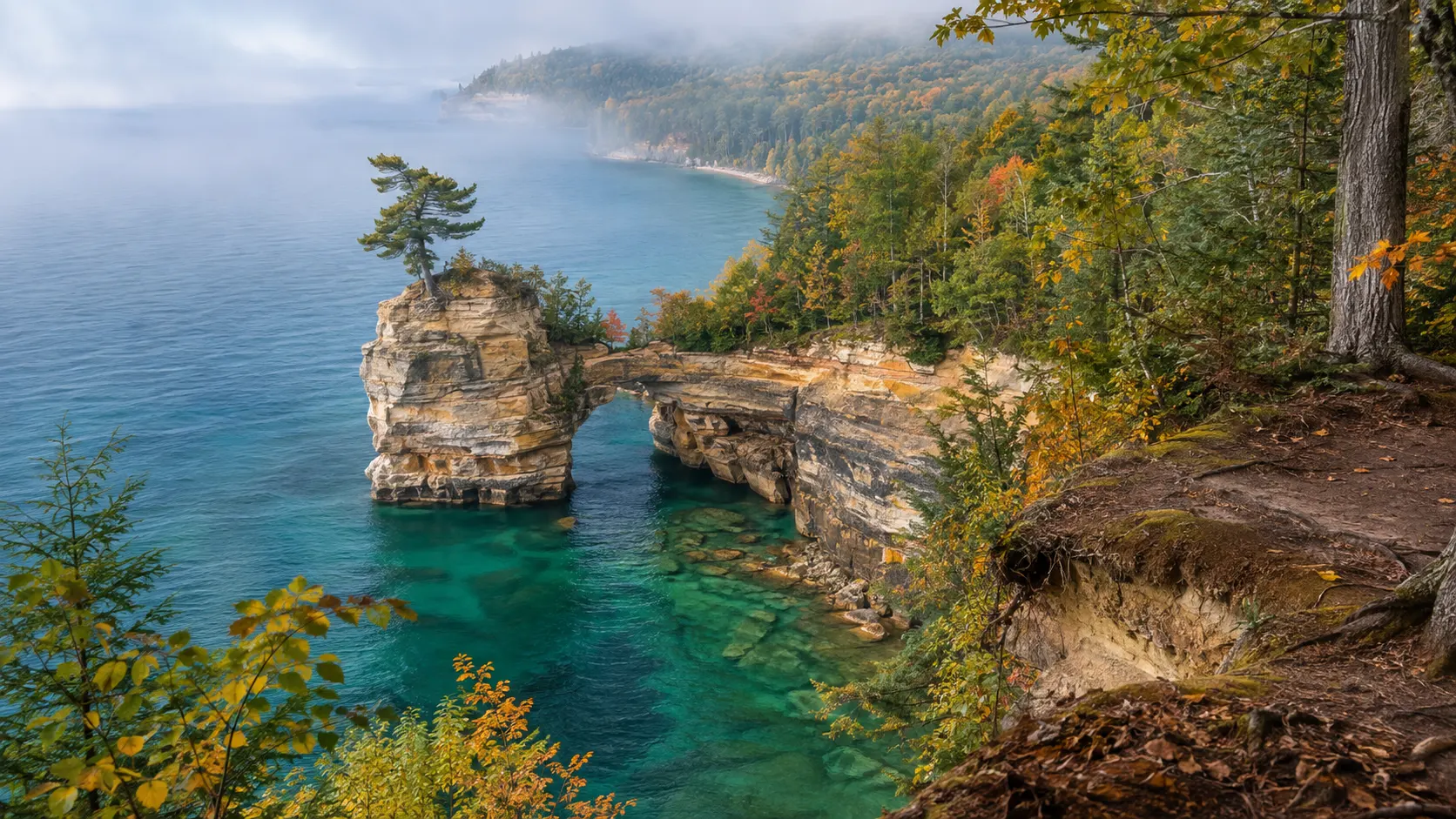
Day 10: hike and drive the land side
Use the second day for Miners Castle, Miners Falls, Sand Point, Munising Falls, or one longer trail suited to current conditions. The national lakeshore is spread out, and roads do not follow the cliff edge continuously.
A Pictured Rocks entrance pass or qualifying federal lands pass is required for vehicles entering the park. Camping and backcountry sites have separate reservation or permit requirements, so a windshield pass is not a campsite.
Choose a hike based on distance, mud, insects, heat, cliff exposure, and daylight. Stay behind barriers and back from unstable edges because sandstone, roots, and undercut cliffs can fail without giving a dramatic warning.
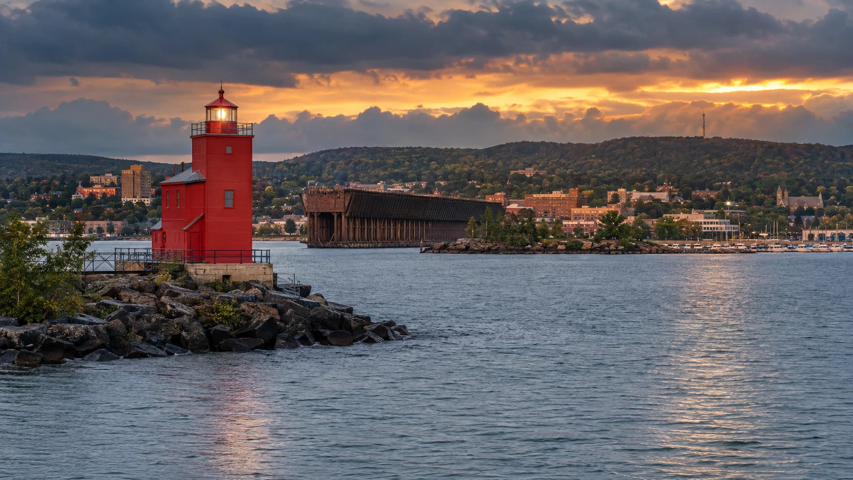
Day 11: Marquette as a useful breathing day
Munising to Marquette is about 45 miles, giving the itinerary a rare short transfer. Walk Presque Isle Park, explore the downtown waterfront, visit a museum, or simply do laundry and rest.
Black Rocks and other exposed shore areas can look inviting on a calm photo, but water temperature, waves, submerged rock, and jump height create real risk. Follow local closures and never copy a stranger’s cliff jump because they climbed out smiling.
Travelers with more time could extend west toward the Keweenaw Peninsula or Isle Royale departure ports. Isle Royale needs its own ferry or seaplane reservation and several days, so it does not belong as a spontaneous afternoon detour.
Days 12 and 13: Door County
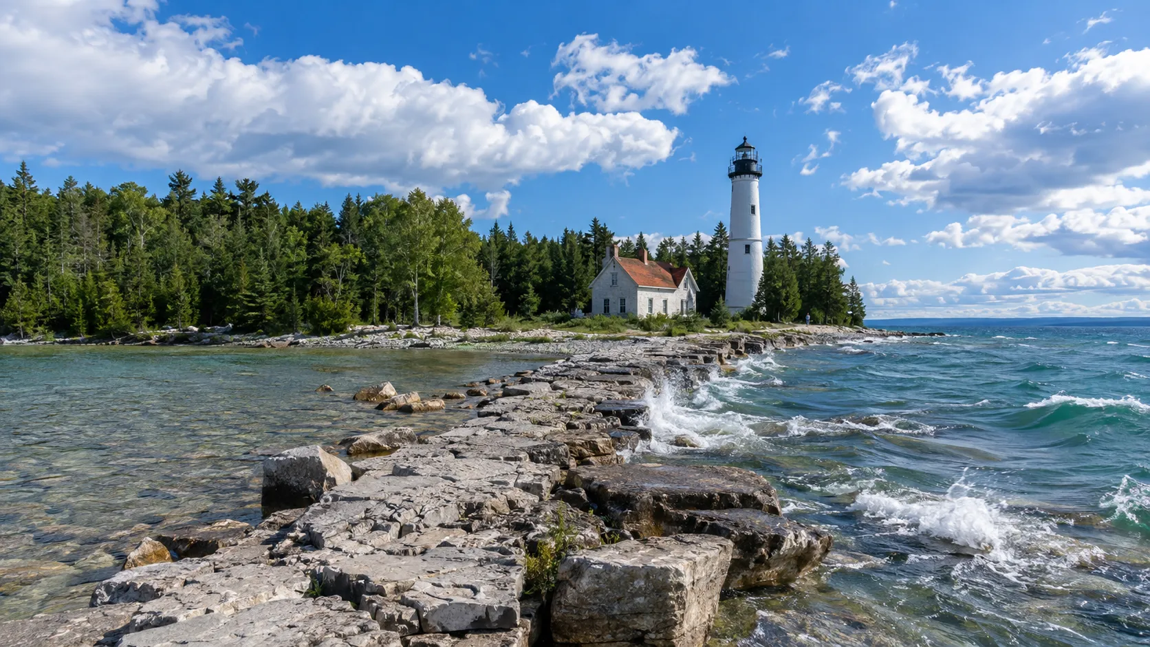
Day 12: Marquette to the peninsula
Plan on roughly 250 miles to central Door County, crossing back into the Central Time Zone. Escanaba and Green Bay make sensible meal or fuel stops, and time-zone arithmetic should not become an excuse to squeeze in a sunset activity.
Base around Sturgeon Bay for services and shorter arrival logistics, or farther north near Fish Creek, Ephraim, Sister Bay, or Baileys Harbor for peninsula atmosphere. The overview of Wisconsin cities and small-town bases helps clarify which setting matches the rest of your trip.
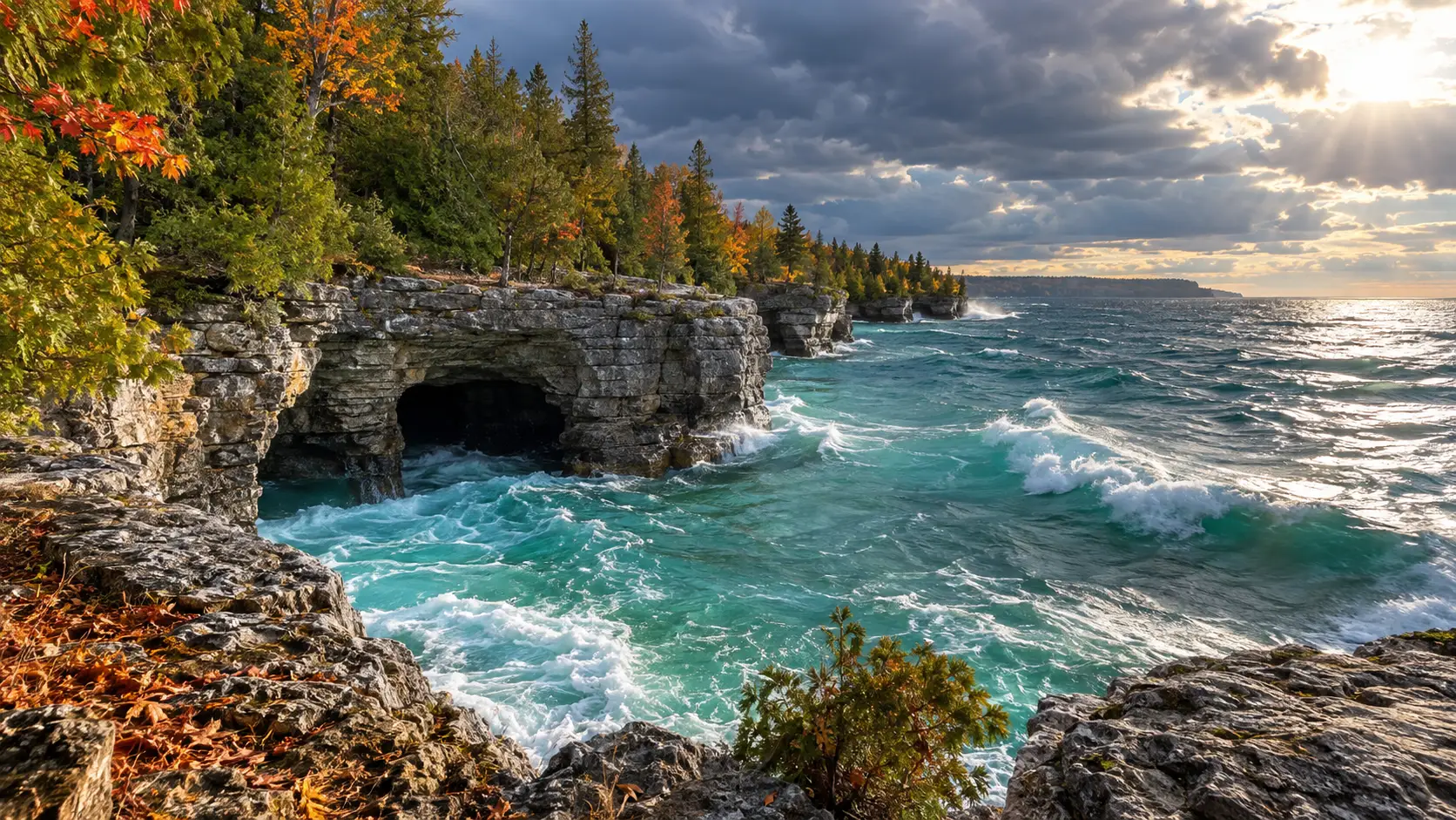
Day 13: choose one side of Door County
Spend the day in Peninsula State Park and nearby bay-side towns, or focus on the Lake Michigan side around Baileys Harbor and Cana Island. Trying to collect every village and lighthouse produces more parking than exploring.
Wisconsin requires a vehicle admission pass for motor vehicles stopping in state parks, and campsites require reservations. Verify current terms through the Wisconsin DNR rather than assuming a national parks pass applies.
Lighthouse access ranges from roadside exterior views to tours, causeways, boats, and limited seasonal openings. Use this Door County lighthouse overview to choose two priorities, then confirm each site’s live hours and access.
Leave dinner flexible if you are waiting on sunset or a boat. Door County fish boils, supper clubs, cherry products, breweries, and contemporary restaurants are choices, not boxes that every traveler must check.
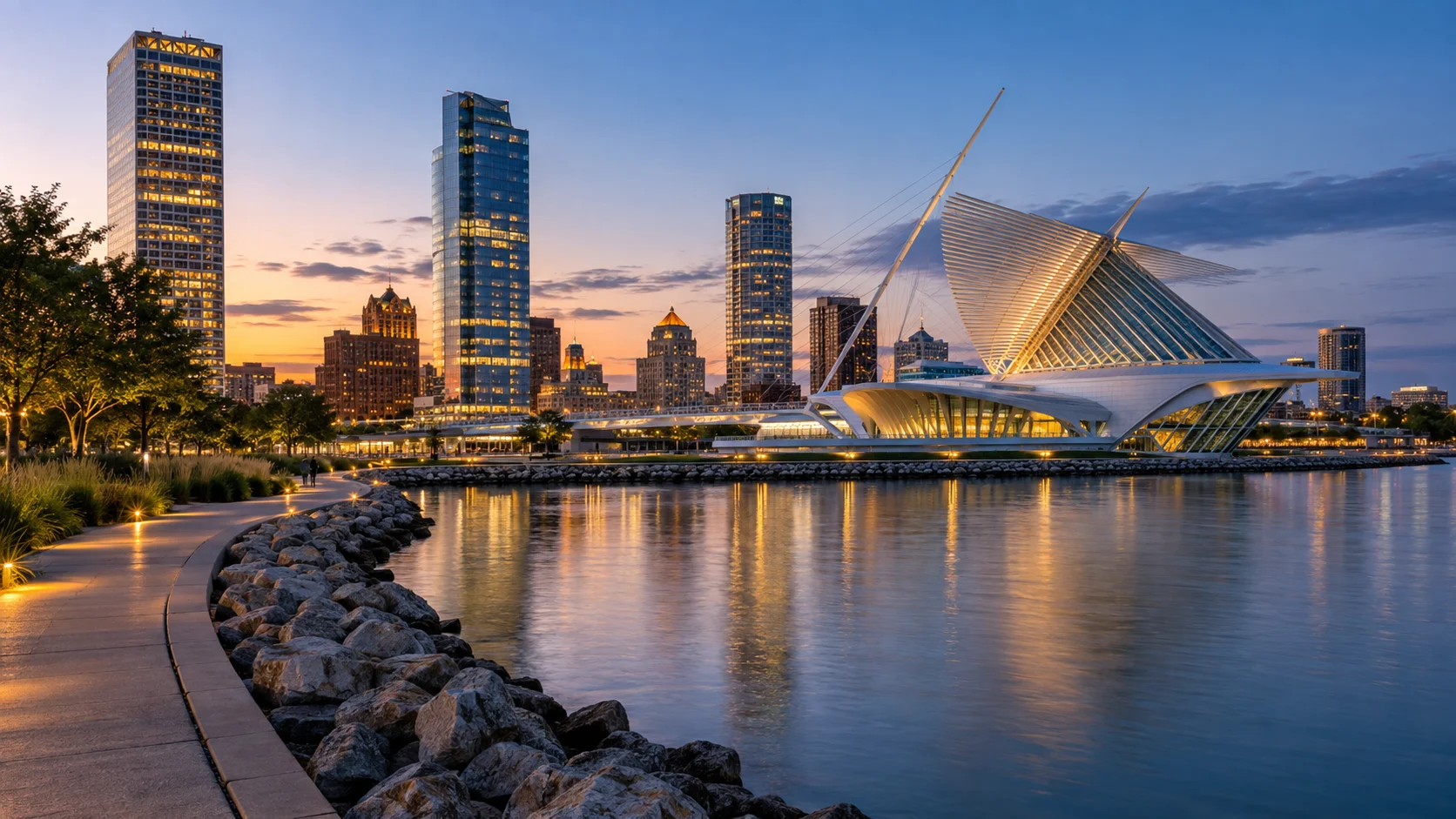
Day 14: Milwaukee and Chicago
From the Fish Creek/Ephraim area, budget roughly 190 to 200 miles to Milwaukee, with about 3.5 to 4 hours as a planning allowance before long stops or heavy traffic; the local airport’s municipal page places the area 190 miles north of Milwaukee. Choose one Milwaukee stop, such as the lakefront, Historic Third Ward, Milwaukee Art Museum, or a brewery tour, instead of scheduling an entire city day before the final drive.
Milwaukee to Chicago is roughly 90 miles, but congestion can double the comfortable estimate. If a flight departs today, skip Milwaukee sightseeing and build a generous rental-car, fuel, and airport-security cushion.
Travelers who want to linger in Wisconsin can use this northern Wisconsin planning guide to turn the loop into a separate vacation. The Apostle Islands and Bayfield are worthy additions, but they pull the route far west.
When to take this Great Lakes road trip
Late June through early September offers the fullest ferry, cruise, museum, and seasonal-road schedules, plus the highest lodging demand. Lake water remains cold, thunderstorms interrupt boat days, and mosquitoes or biting flies can be intense.
September into early October brings cooler nights and developing fall color, but color peaks at different times across a 600-mile north-south range. Ferries, cruises, restaurants, and attractions begin reducing schedules before every leaf has turned.
May and early June can be quiet and beautiful, yet cold water, muddy trails, insects, and delayed seasonal openings require flexibility. Winter is a different expedition involving snow tires, limited services, lake-effect snow, closed scenic roads, and no assumption that ferries follow summer patterns.
Great Lakes water and weather safety
These are inland seas, not oversized swimming pools. The National Weather Service tracks rip, structural, longshore, outlet, and channel currents and publishes Great Lakes beach hazard forecasts for high-wave and swim-risk periods.
Swim at guarded or designated beaches when possible, follow flags and closures, and stay away from piers and breakwalls in rough water. A sunny sky does not cancel cold-water shock or dangerous currents.
Pack layers, rain gear, insect repellent, sunscreen, water, a tire gauge, and an offline map. Keep at least half a tank of fuel in remote areas and never make a boat captain, ranger, or ferry crew defend a weather cancellation.
Great Lakes road trip mistakes to avoid
- Claiming all five lakes in ten days: Add Lake Ontario only with several more days.
- Booking every night in a different town: Use two-night bases at major parks.
- Forgetting separate passes: Federal, Michigan, Indiana, and Wisconsin properties have different systems.
- Trusting drive time alone: Add construction, fuel, meals, parking, and time-zone changes.
- Putting boat trips on the final morning: Leave a weather backup day.
- Underestimating lake water: Check beach hazards and wear proper flotation.
- Leaving bags visible: Secure valuables before reaching trailheads.
Is this the best Great Lakes road trip?
It is the best first loop for travelers who want four lakes, three national lakeshores or parks, Mackinac Island, the Upper Peninsula, and Door County without border crossings. It is not the best plan for someone whose priority is Niagara Falls, Toronto, Duluth, the Apostle Islands, or Isle Royale.
Choose the route that matches your lake, not the one with the longest list. Fourteen days here buys something more valuable than another pin on the map: room for Superior weather, a missed ferry, tired legs, and the roadside stop you did not know you needed.