Yosemite Road Trip: 3 Realistic Itineraries
Yosemite rewards a road trip, but it punishes a schedule built from map pins alone. These three itineraries account for mountain roads, crowded Valley parking, seasonal closures, hiking time, and the crucial difference between entering the park and actually having somewhere to sleep.
Choose the Right Yosemite Road Trip
For a first visit, I would give Yosemite at least three days and sleep two nights near or inside the park. One day can deliver the famous Valley views, but it leaves no margin for an entrance line, full parking lot, storm, wildfire smoke, or tired legs.
- Three days: Best for a focused first visit from San Francisco, Sacramento, or Fresno.
- Five days: Best for Yosemite Valley plus Glacier Point, giant sequoias, and the high country when seasonal roads are open.
- Seven days: Best for combining Yosemite with the Eastern Sierra or California coast without turning every day into a transfer.
Yosemite is nearly 1,200 square miles, and its major areas are separated by slow mountain drives. Treat Yosemite Valley, Wawona and Mariposa Grove, Glacier Point, and Tuolumne Meadows as separate route modules, not four stops to cram between breakfast and dinner.
Pick an Entrance Before You Pick a Hotel
Highway 140 Through El Portal
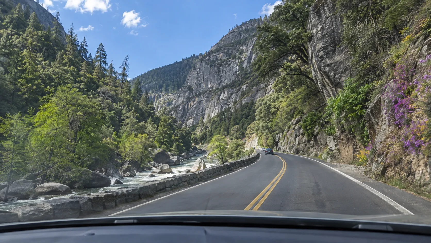
Highway 140 follows the Merced River from Mariposa through El Portal to the Arch Rock Entrance. It is generally the least intimidating winter approach because it stays lower than Highways 41 and 120, though rockfall, fire, construction, and chain controls can still disrupt it.
Choose this route for a San Francisco approach when you value simpler grades or plan to stay in Mariposa, Midpines, or El Portal. Mariposa is a real town with more services, but it is roughly an hour from Yosemite Valley before traffic.
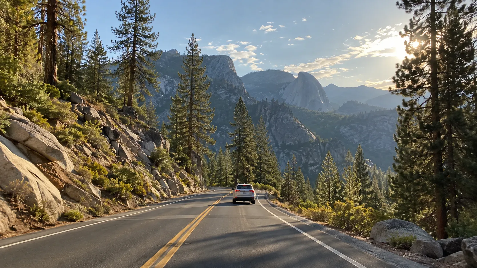
Highway 120 Through Groveland
Highway 120 from the west reaches the Big Oak Flat Entrance through Groveland. It can be efficient from San Francisco or Sacramento and positions you well for Tuolumne Grove and Tioga Road, but the final approach is winding and high enough for winter chain controls.
Do not confuse this western section with Tioga Pass on the park’s east side. You can enter from Groveland when the trans-Sierra portion of Highway 120 is closed, but you cannot continue through the park to Lee Vining.
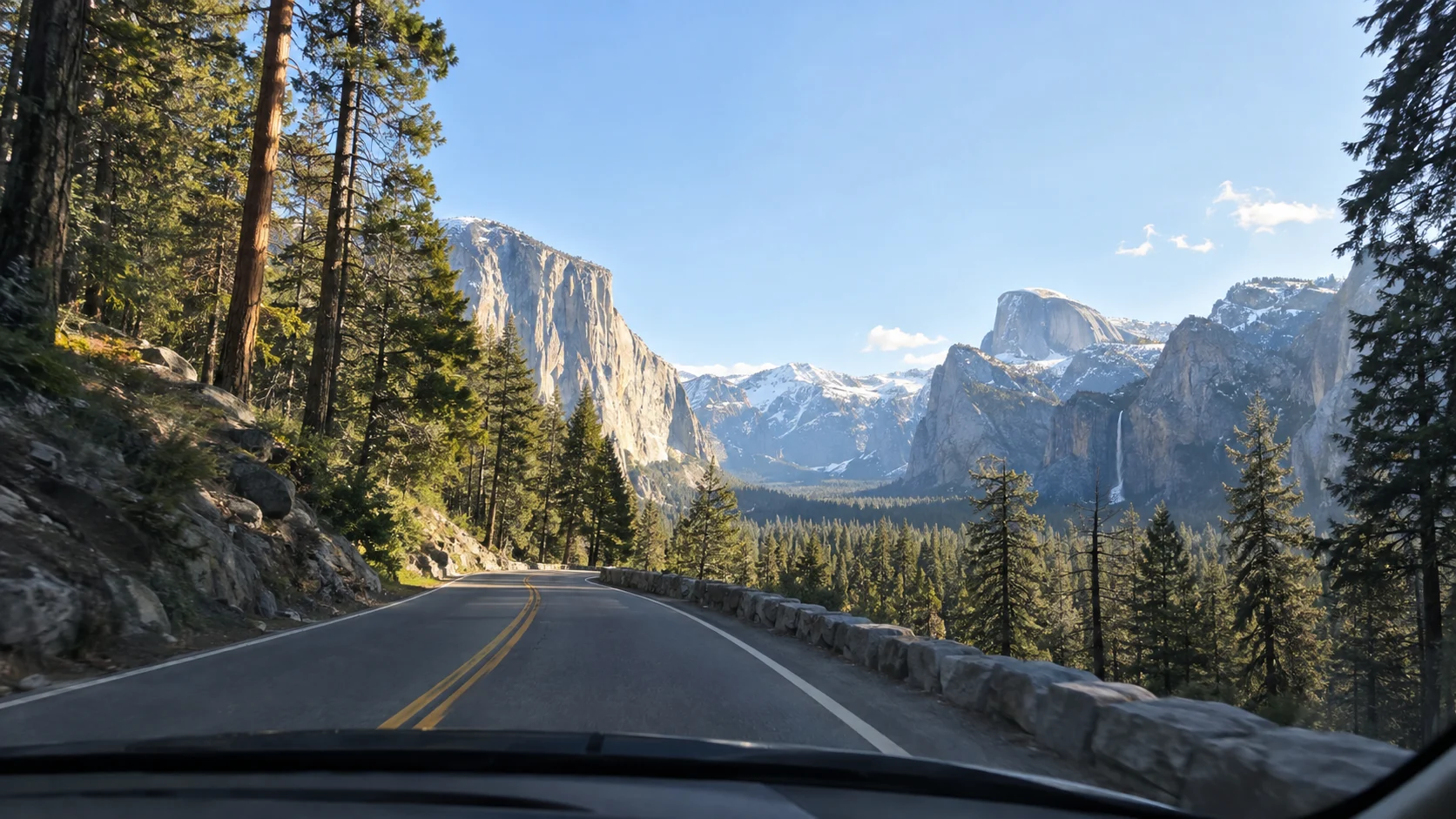
Highway 41 Through Oakhurst
Highway 41 enters at the South Entrance after Oakhurst and Fish Camp. This is the logical choice from Fresno or much of Southern California, and it puts Mariposa Grove first and Tunnel View on the drive toward Yosemite Valley.
The tradeoff is elevation, curves, and a longer park drive to the Valley. Oakhurst offers useful grocery, fuel, and lodging choices, yet it is not a quick Valley base.
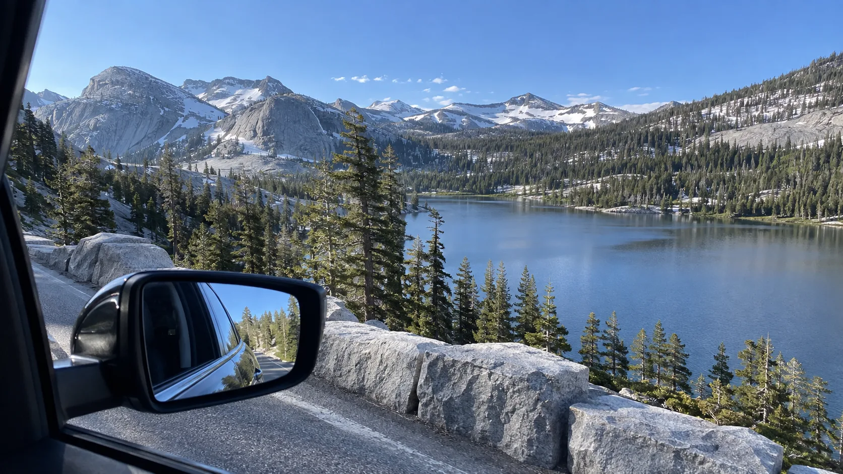
Tioga Pass From the Eastern Sierra
Tioga Pass connects Lee Vining and U.S. 395 with Yosemite’s high country only while Tioga Road is open. The National Park Service says the road typically opens in late May or June and closes sometime in November, with snow making an exact spring opening impossible to predict far ahead.
This entrance is spectacular for a summer or early-fall road trip, not a dependable winter plan. When Tioga Road is closed, the detour around the Sierra is many hours, so never book an Eastern Sierra hotel as though Yosemite Valley were just over the pass.
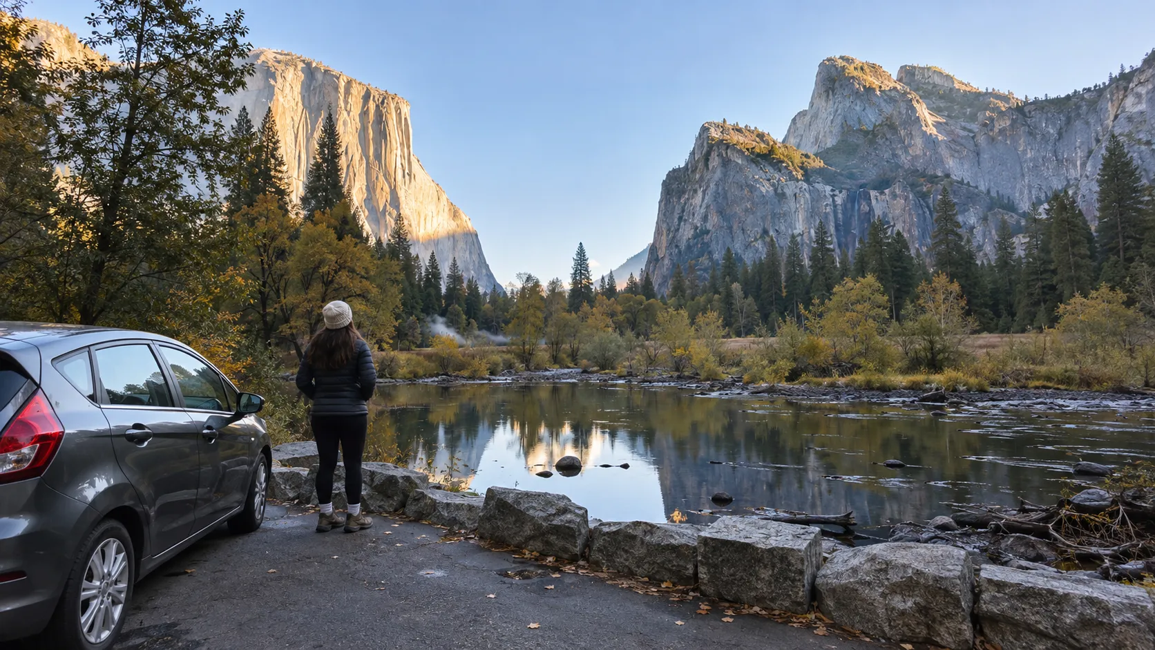
Three-Day Yosemite Road Trip for First-Timers
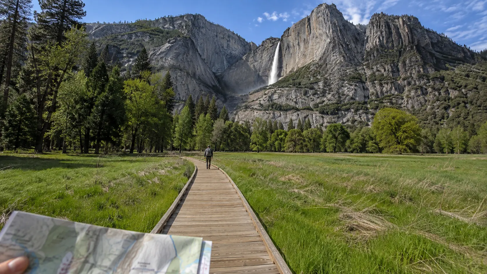
Day 1: Drive In, Then Learn the Valley
Leave the Bay Area or Sacramento early enough to reach your lodging before dark, especially if mountain driving is new to you. Stop for groceries and fuel before the park, check in, then use the remaining daylight for an overlook or an easy Valley walk instead of forcing a major hike.
From Highway 41, make Tunnel View your introduction. From Highways 120 or 140, settle for Valley View or a meadow walk, because backtracking to Tunnel View adds more driving than the map suggests.
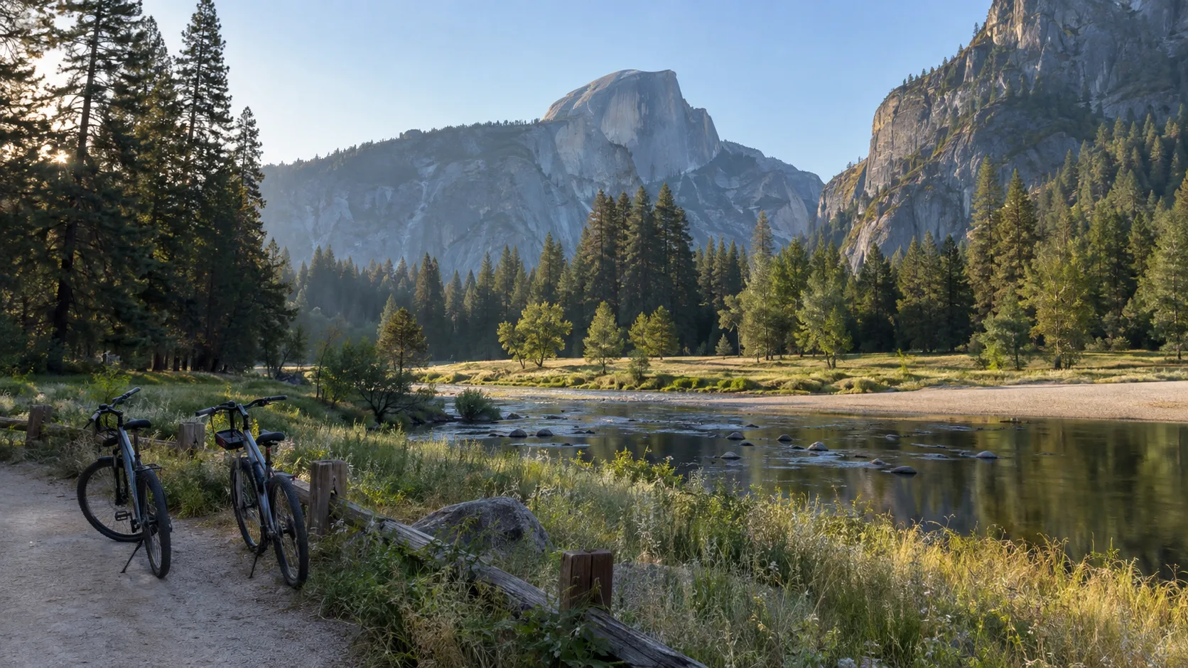
Day 2: Yosemite Valley Without Moving the Car
Enter before 9 a.m., and earlier on a summer weekend. The park warns that Valley parking is usually full after 9 a.m.; once you find a space at Yosemite Village, Curry Village, or near Yosemite Falls, leave the car there and use the free shuttle, bike paths, and walking trails.
Start at Lower Yosemite Fall, cross Cook’s Meadow, and walk toward Yosemite Village for an easy sightseeing loop. Add the first footbridge on the Mist Trail for a steeper waterfall experience, or choose the level Valley Loop if wet granite, heat, mobility, or young children make steep stone steps a poor fit.
Waterfall volume is generally strongest in spring and early summer, while Yosemite Falls can slow dramatically or dry in late summer. Granite cliffs, meadows, and El Capitan remain impressive, so a low-water trip is different rather than ruined.
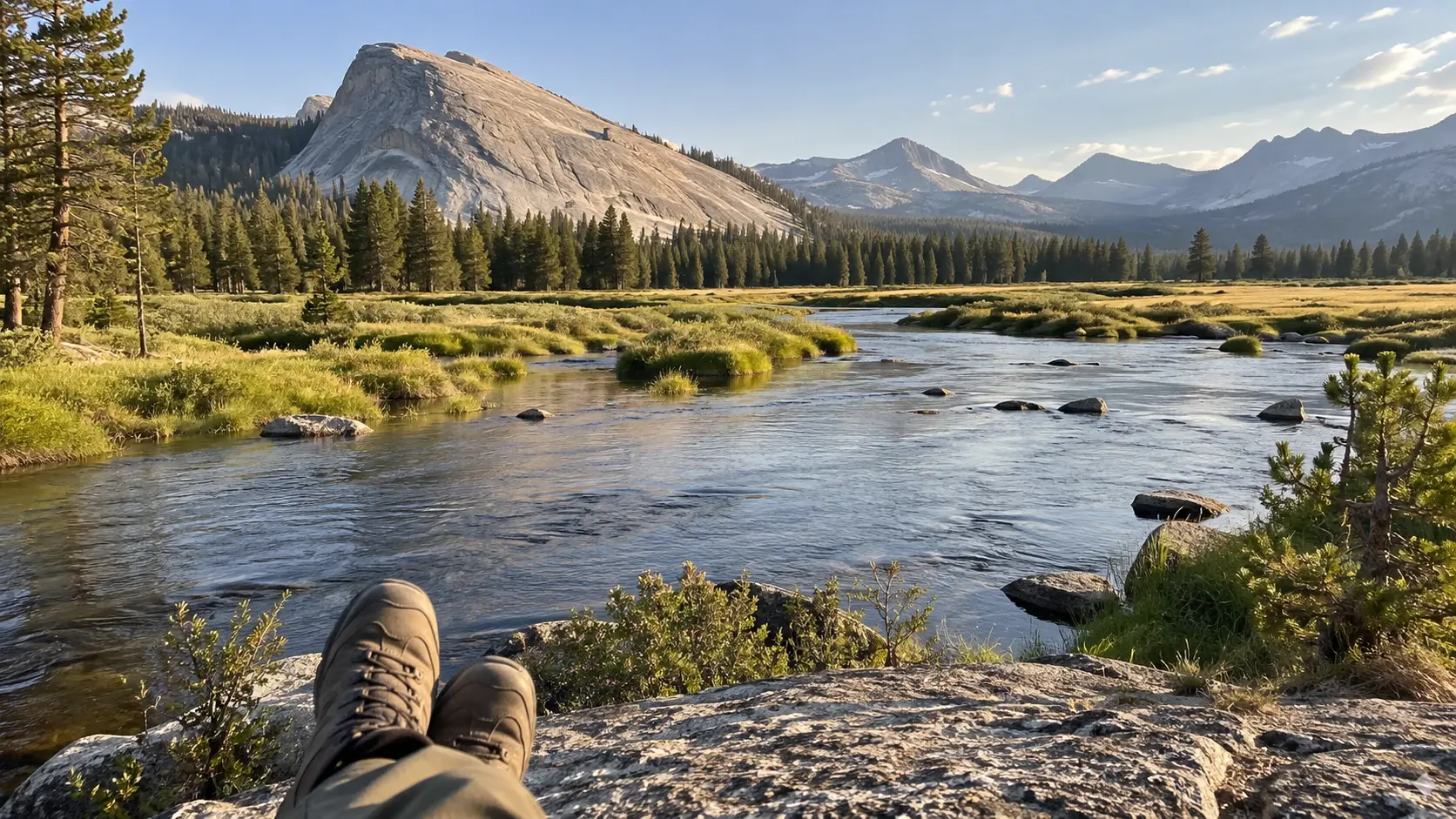
Day 3: Choose One Final Area
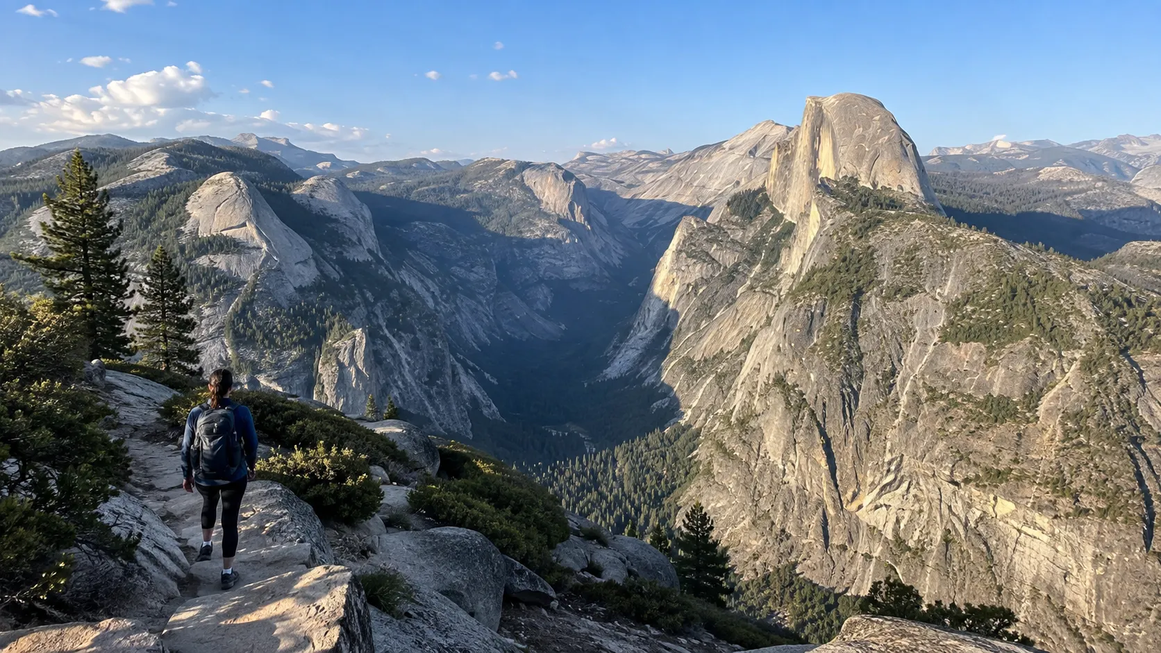
If Glacier Point Road is open, drive to Washburn Point and Glacier Point for broad views of Half Dome and the high country. The road is about 30 miles from Yosemite Valley to Glacier Point and typically takes around an hour each way, so this is a half-day outing before the drive home.
If that road is closed, choose Mariposa Grove when its access and shuttle are operating, or spend another morning in the Valley. A winter traveler can substitute a snow walk, museum time, or a short trail that rangers confirm is safe rather than chasing an inaccessible summer viewpoint.
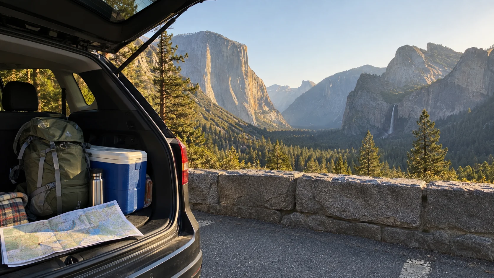
Five-Day Yosemite Road Trip for More Variety
Days 1 and 2: Arrival and the Valley
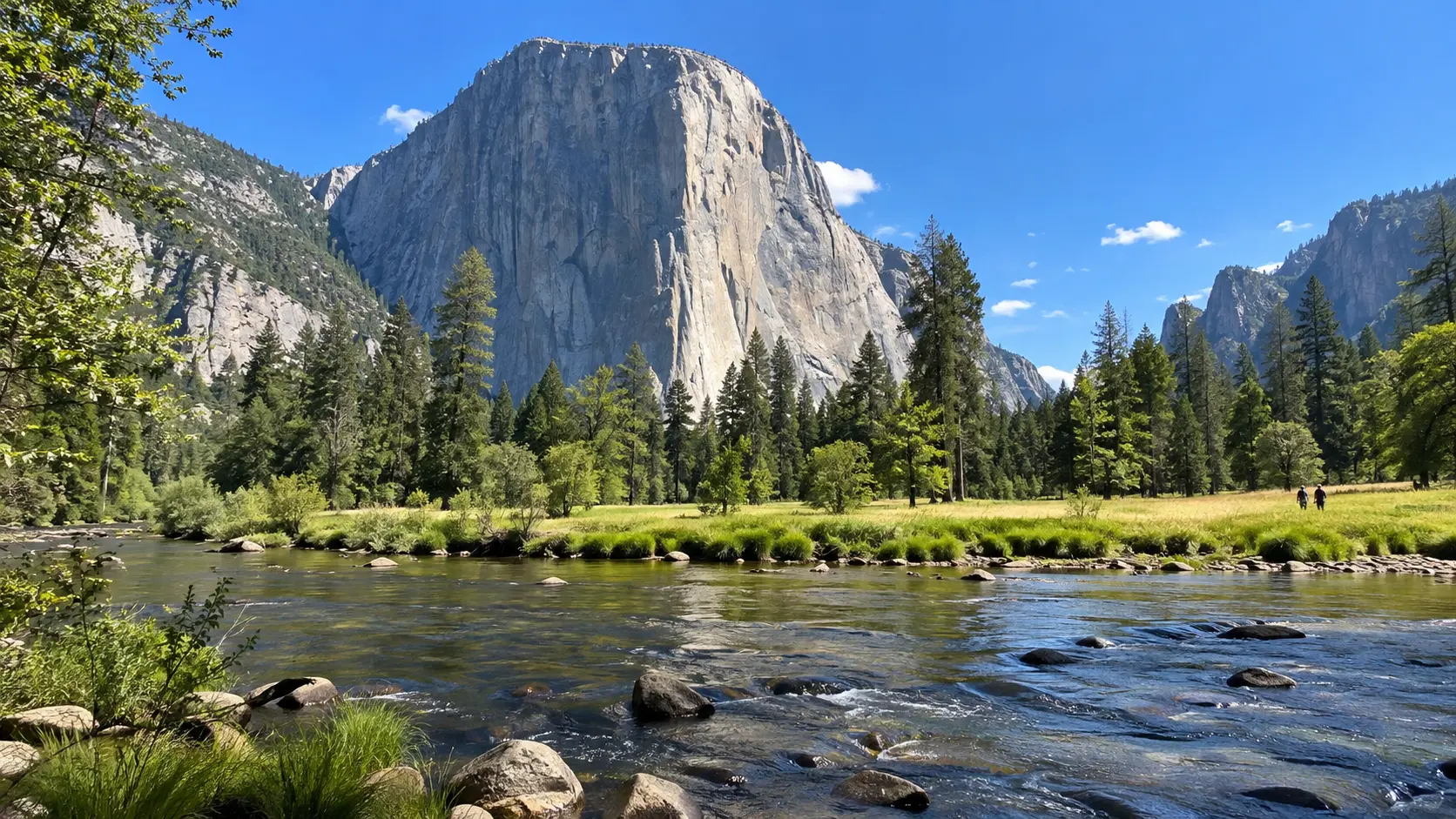
Use the first two days exactly as in the shorter route, but sleep in one base for at least three nights. Hotel hopping looks efficient until every checkout, parking search, and dark mountain drive starts stealing trail time.
On the full Valley day, choose one substantial objective and several flexible stops. Vernal Fall, Mirror Lake, Bridalveil Fall, and the full Valley Loop do not belong on one mandatory checklist, particularly when heat, ice, trail work, or water levels change the experience.
Day 3: Glacier Point and a Short Hike
When Glacier Point Road is open, pair the overlooks with Sentinel Dome or Taft Point only if current trail conditions suit your group. Neither is a casual roadside stop, and exposed edges, afternoon thunderstorms, snow, and darkness deserve more respect than social-media photos suggest.
There is no regular shuttle between Glacier Point and Yosemite Valley, although a seasonal paid tour may operate. Do not plan a one-way hike down unless the transportation, trail status, distance, elevation loss, and pickup are all confirmed.
Day 4: Wawona and Mariposa Grove
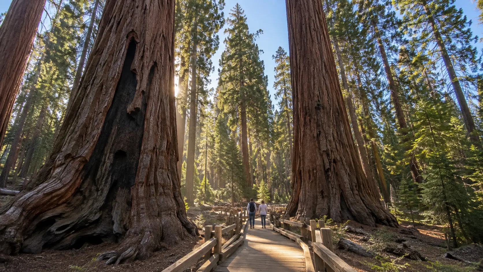
Drive south for giant sequoias and the quieter Wawona area. Most visitors reach Mariposa Grove using the free seasonal shuttle from the welcome plaza near the South Entrance, and the dates can move with spring conditions.
Allow more time than a quick tree photo. The grove’s trails climb, and reaching farther trees such as the Grizzly Giant takes walking that may feel substantial at elevation or in heat.
Day 5: High Country or Hetch Hetchy
When Tioga Road is open, use the last day for Olmsted Point, Tenaya Lake, and Tuolumne Meadows. Distances are deceptive, parking is limited, and the landscape deserves a full unhurried day rather than a dash to the Tioga Pass sign.
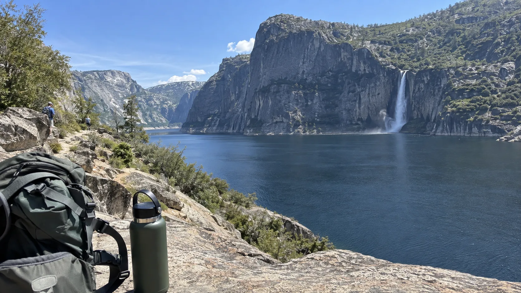
When Tioga Road is closed, consider Hetch Hetchy if its road hours, weather, and trail conditions work. It is a separate out-and-back from the Highway 120 corridor, not a quick detour on the way to Yosemite Valley.
Seven-Day Yosemite and California Road Trip
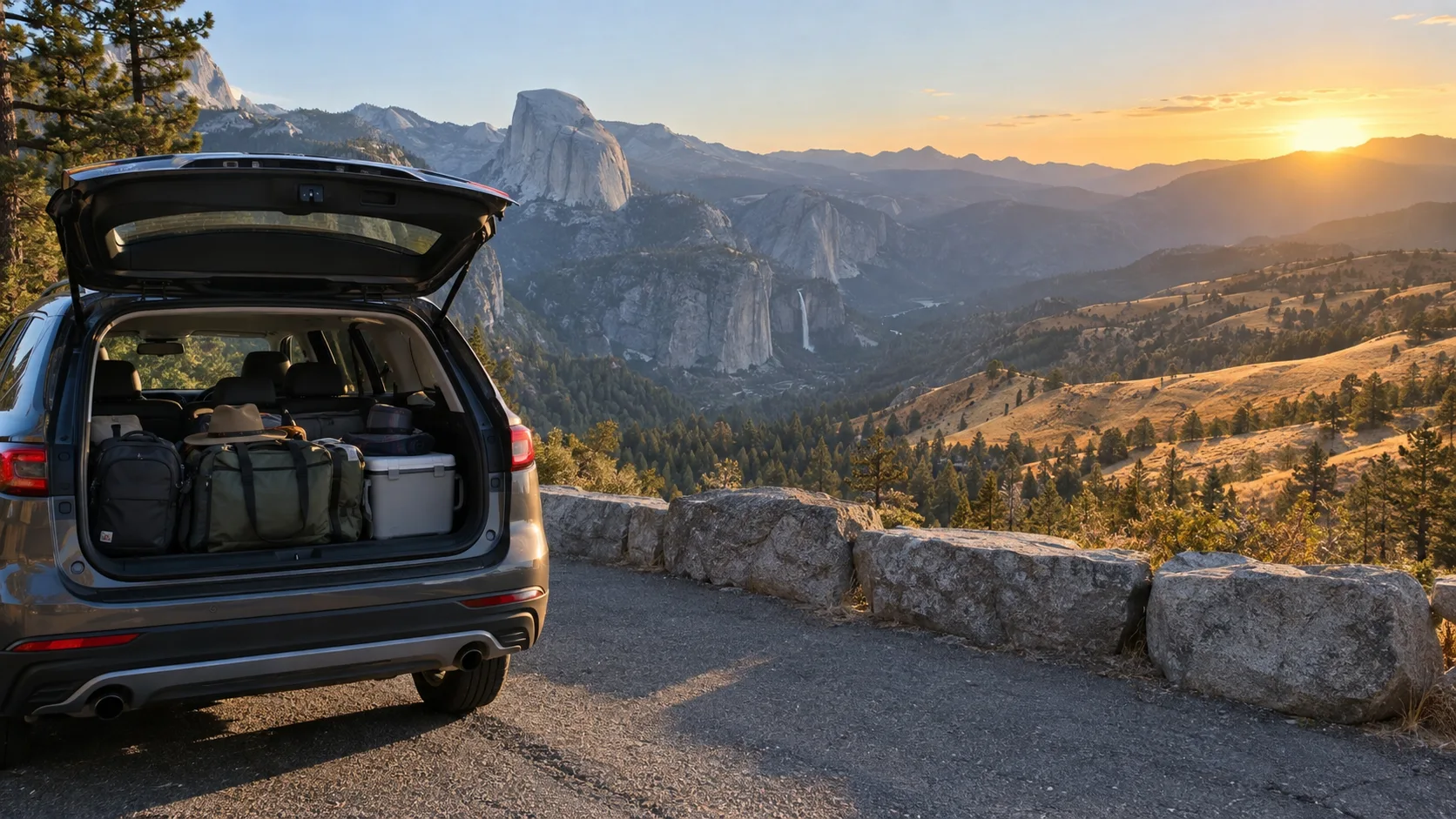
Seven days gives you enough time to combine Yosemite with one surrounding region. It does not give you enough time to race from San Francisco down the entire coast, cross to Yosemite, tour the park properly, and return without spending the vacation behind a windshield.
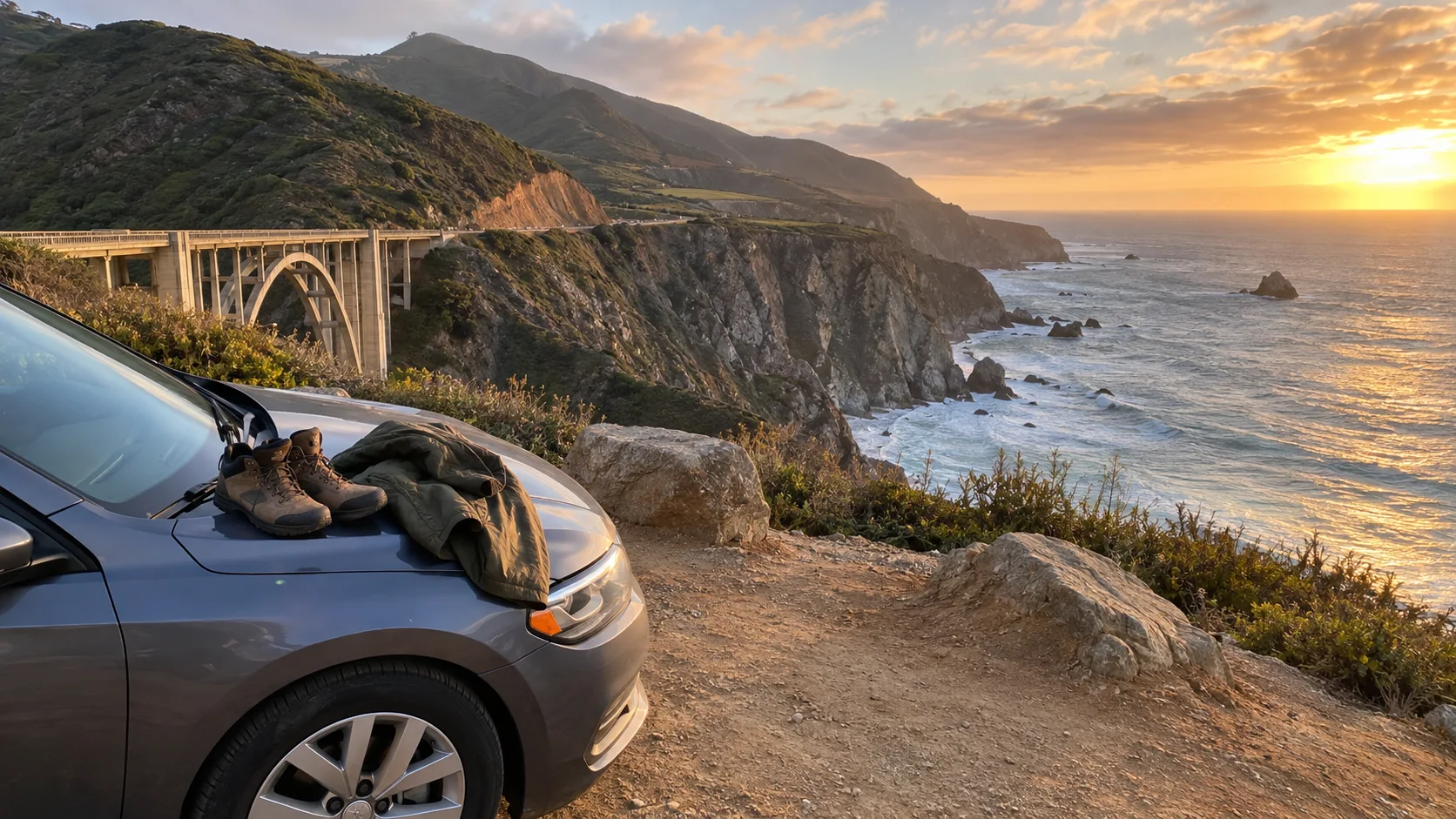
Option 1: San Francisco, Yosemite, and the Coast
- Days 1 and 2: San Francisco, with no rental car needed until departure.
- Day 3: Pick up the car and drive to Yosemite by Highway 120 or 140.
- Days 4 and 5: Yosemite Valley plus Glacier Point or Mariposa Grove.
- Day 6: Return west and sleep near Monterey, Santa Cruz, or the airport, depending on the flight.
- Day 7: A short coastal section, then departure.
This is a compact coast-and-mountains sampler, not the full Pacific Coast road trip. If you are arriving overland from the north, finish the Vancouver to San Francisco route before starting a separate Yosemite module rather than pretending the Sierra is a coastal stop.
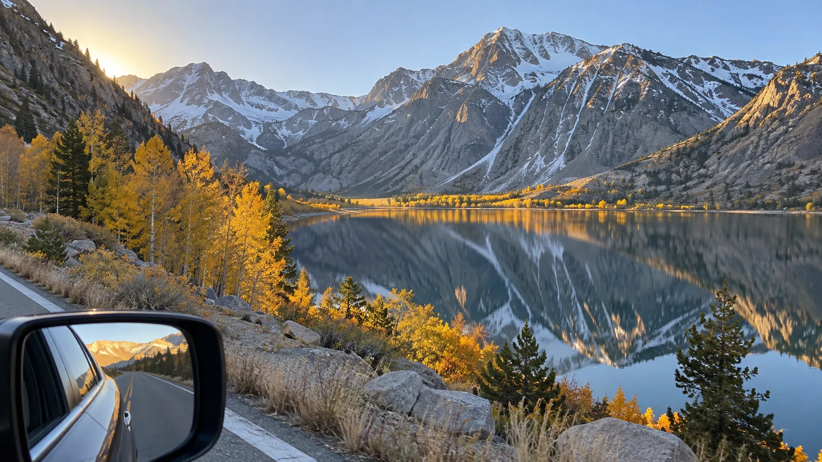
Option 2: Yosemite and the Eastern Sierra
- Days 1 and 2: Enter from the west and explore Yosemite Valley.
- Day 3: Glacier Point or Mariposa Grove.
- Day 4: Drive Tioga Road slowly, stopping in the high country before Lee Vining.
- Days 5 and 6: Explore Mono Lake and the Eastern Sierra from one base.
- Day 7: Continue south or return by the route appropriate to your flight.
I would choose this route over the coast in summer and early fall if alpine scenery matters most. It is only a through-route when Tioga Road is confirmed open, and a forecast can still force a last-minute reversal.
Reservations You May Actually Need
A reservation is not required to enter Yosemite in 2026, according to the park’s current permit and reservation page. That fact does not reserve parking, lodging, camping, a wilderness trip, or a Half Dome permit, and future years may use different rules.
Book in-park lodging as early as practical and confirm that a property advertised as “Yosemite” is actually inside the gates. An outside hotel can be a good value, but the entrance route and realistic drive to your first activity matter more than the marketing name.
Reserve a legal campsite before arriving during busy periods, and never plan to sleep in a random pullout or parking lot. For Half Dome, a permit is required whenever the cables are up; the official Half Dome permit page explains the preseason lottery and limited two-days-ahead lottery.
Half Dome is a strenuous all-day objective, not an add-on to a general sightseeing day. Wet cables, lightning, heat, altitude, and turnaround time can all make skipping the summit the correct decision even with a permit.
Parking, Shuttles, and the Park-Once Rule
The free Valley shuttle serves lodges, food, campgrounds, and major trailheads, with service patterns and intervals that can change. Check the current Yosemite transportation page, take a photo of the posted stop map, and allow for lines at peak times.
YARTS buses connect several gateway communities with the park, which can remove the parking problem for a Valley-focused day. Service is corridor- and season-specific, so verify the exact stop, last return, luggage rules, and whether your intended park area is reachable without a car.
Seasonal Planning That Changes the Route
Spring
Spring brings forceful waterfalls and green Valley meadows, but the high country may still be buried in snow. Build the trip around the Valley and open west-side roads, treating Tioga Road and Glacier Point Road as bonuses only after the current conditions page confirms access.
Summer
Summer offers the broadest road access and the heaviest crowds. Start early, carry more water than you expect to drink, avoid exposed midday hikes in extreme heat, and keep a smoke-safe alternative because wildfire conditions can change quickly.
Fall
Early fall can be superb for open high-country roads and cooler walking, while waterfalls are often modest. The first winter storm can close Tioga or Glacier Point Road temporarily or for the season, so a loop must always have a west-side fallback.
Winter
Yosemite Valley remains reachable year-round, but winter turns this into a snow-and-weather trip. The park says chains are often required from November through March and all vehicles must carry them when controls are in effect, including four-wheel-drive and rental vehicles, so check the official chain rules and the rental contract.
What to Pack in the Car
- Offline park and road maps, plus printed lodging and permit confirmations
- Refillable water, salty snacks, and a proper meal plan
- Layers for large temperature changes between the Valley and high country
- Sun protection, sturdy footwear, and a small first-aid kit
- A flashlight or headlamp for every hiker, even on a planned day hike
- Approved tire chains when conditions or season call for them
- A full fuel tank before long park drives and a charging plan for an EV
Cell service is limited, so download maps and essential information before entering. Food belongs in an approved locker or secured vehicle as directed, never in a tent, and every crumb matters in bear country.
Mistakes That Make a Yosemite Road Trip Miserable
- Arriving at Yosemite Valley at midday and expecting to park beside each sight
- Routing across Tioga Pass in a month when it is normally snowbound
- Booking an outside hotel without checking its entrance and drive time
- Putting Half Dome on the schedule without a permit, training, or weather fallback
- Assuming every waterfall, shuttle, campground, and road operates all year
- Driving a long transfer immediately after an all-day hike
If Yosemite’s crowds and reservation pressure do not fit this trip, use the planning principles in these less obvious U.S. vacation ideas to choose a calmer alternative. The better trip is the one you can safely execute, not the one with the most famous pins.
My Yosemite Road Trip Verdict
Choose the three-day itinerary for a strong first look, the five-day route for the park’s real variety, and the seven-day route only when you want one carefully selected California add-on. For most travelers, five days with one lodging base is the sweet spot.
Before departure, recheck entrance policy, road status, weather, smoke, trail closures, and transportation on official pages. Then keep one day flexible, park once in the Valley, and let Yosemite be bigger than your checklist.