Best Andorra Hiking Trails for Every Experience Level
Andorra may be tiny, but its trails climb quickly from valley towns into serious Pyrenean terrain. Choose by elevation gain and exposure, not mileage alone, then plan trailhead transportation before assuming the country’s compact map makes every hike easy.
Which Andorra Hike Is Best for You?
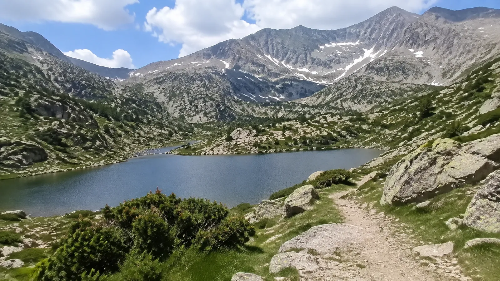
First-time hikers should begin with Camí de les Pardines, Lake Engolasters, or the first lake at Tristaina. Experienced hikers can graduate to Juclar, Casamanya, or Comapedrosa, while hut-to-hut trekkers should consider Coronallacs only with strong fitness and mountain judgment.
- Best easy walk: Camí de les Pardines
- Best first alpine-lake hike: Tristaina Lakes
- Best forest loop: Tomb de les Neres
- Best cultural landscape: Madriu-Perafita-Claror Valley
- Best challenging lake hike: Juclar Lakes
- Best first summit: Casamanya, for fit hikers in stable conditions
- Best major summit: Comapedrosa
- Best hut trek: Coronallacs
Official route labels are useful starting points, but “easy” never means weatherproof. Snow, thunderstorms, heat, wind, wet rock, and a wrong turn can change the difficulty quickly.
Compare the bigger hikes before choosing
The distances below distinguish the published outward route from the walk back to the same trailhead. My rounded time allowances include a short break but assume dry summer footing and a prepared hiking group.
- Hike and trailhead: Juclar from Pont de la Baladosa, Vall d’Incles
- Distance and ascent: 4.57 km outward, about 9.1 km return; 465 m ascent
- Time I would reserve: 4 to 5 hours; official ascent/descent times total 3 hours 50 minutes
- Hike and trailhead: Casamanya from Coll d’Ordino
- Distance and ascent: 3.75 km outward, about 7.5 km return; 750 m ascent
- Time I would reserve: 4 to 5 hours for the summit and return
- Hike and trailhead: Comapedrosa from Arinsal’s Prats Sobirans forest path
- Distance and ascent: 15.4 km return; 1,372 m ascent and descent
- Time I would reserve: 8 to 10 hours; the official narrative says around 8 hours despite a shorter generic duration label
I would choose Tristaina over Juclar when I wanted the lake scenery with less sustained climbing, and over Casamanya when a summit view was less important than a manageable day. Juclar is my choice for a longer lake outing and refuge stop, while Casamanya fits a clear, settled forecast and a group that actively wants a steep climb.
For Juclar, the official starting point is kilometer 3 of the Incles road, beyond Baladosa bridge; summer vehicle restrictions can mean taking the valley’s electric train or adding an approach walk. Check the final return departure before setting your turnaround time, and turn back at the first lake if time or weather makes the second lake unnecessary.
Check Coll d’Ordino road access before driving to Casamanya, and use late June through September as the conservative high-mountain window. Snow, thunder, or poor visibility can make these hikes inappropriate even within that season.
1. Camí de les Pardines to Lake Engolasters
Best for: Families, beginners, and a gentle first day
Official difficulty: Easy
Camí de les Pardines is the trail I would recommend first when a group has mixed abilities. The broad route from the Cortals d’Encamp side runs a little over 2 miles toward Lake Engolasters with minimal climbing, passing botanical displays, a small waterfall, and viewpoints.
You can turn around whenever energy or weather says it is time, which makes this more forgiving than a summit. Confirm the exact starting point and road access because “Engolasters hike” can refer to several approaches, including a steeper route beginning in Encamp.
Tradeoff: It is accessible and popular rather than wild or solitary. Arrive earlier on summer weekends and keep children close at road crossings and viewpoints.
2. Lake Engolasters from Encamp
Best for: Beginners who want a real climb
Official difficulty: Easy
The official route from Encamp is about 1.2 miles one way with roughly 1,150 feet of ascent. That is a short but meaningful climb, so do not confuse its easy technical rating with a flat stroll.
The path joins the GR11 markings before reaching the lake area. Hike up and arrange your return thoughtfully, or use Camí de les Pardines for a flatter alternative if steep climbing is not appealing.
Tradeoff: This route provides quick exercise but not the wide-open alpine scenery of Tristaina or Juclar. It works beautifully as an arrival-day hike because you remain close to Encamp services.
3. Tristaina Lakes
Best for: First alpine scenery and active families
Official difficulty: Moderate for the fuller lake route
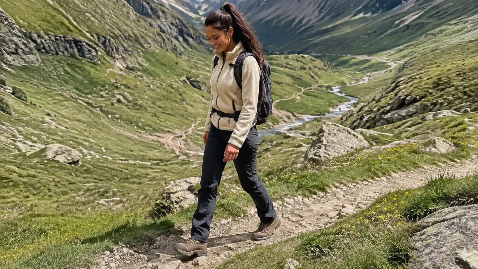
Tristaina delivers the classic Andorra image of glacial lakes beneath rugged peaks without requiring an all-day summit. Visit Andorra says the climb from the Coma area to the first lake takes around 40 minutes and calls that first section suitable for children.
Continuing among the lakes adds uneven ground, elevation, and exposure to fast-changing weather. Turn the first lake into the destination if your group is tired, the sky is building, or trail conditions are slippery.
Summer access may involve resort roads, parking controls, gondola operations, or seasonal traffic arrangements. Check Ordino Arcalís access details immediately before the hike instead of building your plan around an old parking blog.
Tradeoff: Tristaina offers huge scenery for moderate effort, so it attracts crowds. Start early, carry a layer even on a warm valley day, and do not chase the solar viewpoint if it pushes the group beyond a comfortable return.
4. Tomb de les Neres
Best for: A shaded half-day loop
Official difficulty: Moderate
Tomb de les Neres is an approximately 5-mile forest loop with about 650 feet of ascent and descent. It starts around Coll d’Ordino and circles through pine and birch forest, with views toward valleys and nearby peaks.
This is a useful choice when higher summits are windy or clouded, although forest does not eliminate lightning or navigation risk. Download the official track and note your start because several paths intersect around the pass.
Tradeoff: You trade dramatic lake views for shade, gentler terrain, and a flexible half day. That is often exactly the right decision after a long travel day.
5. Madriu-Perafita-Claror Valley
Best for: History, landscape, and hikers who dislike summit pressure
Difficulty: Varies substantially by access point and turnaround
The Madriu-Perafita-Claror Valley is not one single hike. It is a roadless cultural landscape of stone paths, pastoral sites, wooded valley, high pastures, and glacial terrain covering more than 10,000 acres.
UNESCO recognizes the valley as a record of how communities have used and managed high Pyrenean resources over centuries. Review the World Heritage description, then choose a signed route and turnaround that fits your time.
For a specific shorter outing, I would start at the Madriu path entrance on the Engolasters road and follow the signed stone path through Entremesaigües to the bordes at Ràmio, then return the same way. Reserve roughly 2 to 3 hours as a planning allowance and turn at Entremesaigües if the uphill stones are slippery or tiring.
This uses the lower section of the official Madriu valley itinerary, with Ràmio as the named turnaround instead of continuing toward Fontverd. A route toward staffed Refugi de l’Illa becomes a serious mountain day or overnight and requires reservation, weather, and return planning.
Tradeoff: The absence of roads preserves the valley’s character but removes easy exit options. Do not walk deep into it on a casual late-afternoon whim.
6. Juclar Lakes
Best for: Strong day hikers who want high-mountain lakes
Difficulty: Moderate to difficult, depending on route and conditions
The Juclar area gives you Andorra’s largest lake landscape and access to a staffed summer refuge. The approach from the Incles Valley involves sustained climbing, rougher footing, and more commitment than Tristaina.
Confirm the seasonal road or shuttle arrangement for Vall d’Incles, then reserve directly if you plan to eat or sleep at the refuge. An overnight can turn a rushed out-and-back into a richer mountain experience, but a bunk is not guaranteed without a booking.
Tradeoff: The lake setting feels remote, yet the route is popular and the approach logistics change seasonally. Start early enough to descend before afternoon storms and darkness.
7. Pic de Casamanya
Best for: Fit hikers seeking a panoramic summit
Difficulty: A strenuous mountain hike despite straightforward navigation in clear conditions
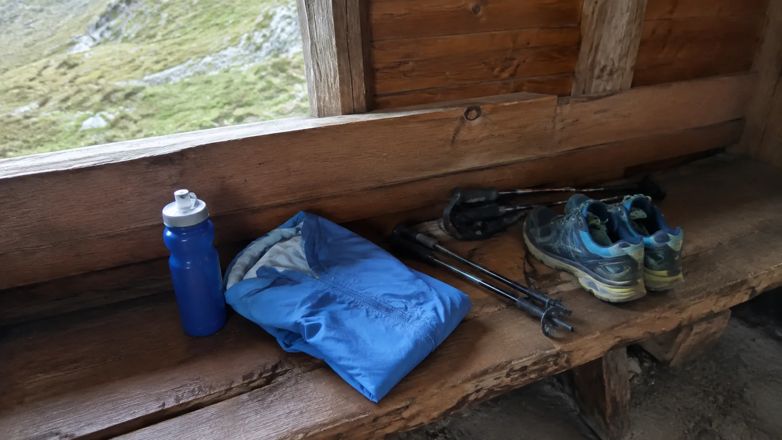
Casamanya begins at Coll d’Ordino and climbs steeply through forest before reaching more open ground. The summit’s central position produces broad views across Andorra, which also means exposure to wind and weather.
Do not choose it because the horizontal distance looks modest. Judge the day by ascent, descent, forecast, footing, and whether everyone can maintain the pace without emptying their energy reserve.
Tradeoff: This is a rewarding first Andorran summit for prepared hikers, but it lacks easy bailout options once you are high. Turn around before the summit if cloud, thunder, strong wind, or fatigue arrives.
8. Pic de Comapedrosa
Best for: Experienced mountain hikers
Official difficulty: Difficult
Comapedrosa is Andorra’s highest peak and the biggest single-day objective in this guide. The official route lists roughly 4,500 feet of ascent and descent, which is a serious outing even before weather and rocky terrain enter the equation.
Break the journey with a reservation at the staffed Comapedrosa refuge if that better matches your experience. A hut does not make the summit safe automatically, but it can create a more reasonable schedule and provides a staffed base during its operating season.
Tradeoff: Reaching the country’s high point is satisfying, but summit status is a poor reason to exceed your skills. Hire a qualified local guide if route finding, exposure, pace, or high-mountain decision-making is new to you.
Coronallacs for a Multi-Day Trek
Coronallacs is the ambitious option, linking Andorra’s four staffed mountain refuges over five stages. The official route is about 57 miles with approximately 21,160 feet of total ascent and the same amount of descent, and Visit Andorra labels it very difficult.
Reserve every refuge, confirm opening dates and meal arrangements, carry the required sleep system, and understand each stage before starting. The official Coronallacs route page is the planning baseline, not a substitute for maps, current conditions, or experience.
This is not a spontaneous extension to a weekend in Andorra la Vella. Build contingency time and know how you will leave the route if weather, injury, or fatigue stops the itinerary.
When to Hike in Andorra
Late June through September
This is the main window for high routes, but snow can linger early and autumn weather can arrive early at elevation. Staffed refuge dates, resort lifts, road access, and shuttles operate on their own calendars.
May and early June
Lower walks may be lovely while passes and summits still hold snow. Choose valley trails unless you have winter-mountain equipment, skills, and a current local conditions report.
October through spring
Short daylight, ice, snow, avalanche terrain, and closed seasonal services change hiking into winter mountaineering or snowshoeing. Use a qualified guide and the appropriate winter forecast rather than following a summer GPS track.
Andorra Hiking Safety
- Check a mountain forecast, not only Andorra la Vella’s city forecast.
- Start early and set a firm turnaround time.
- Download the official track and carry a backup map.
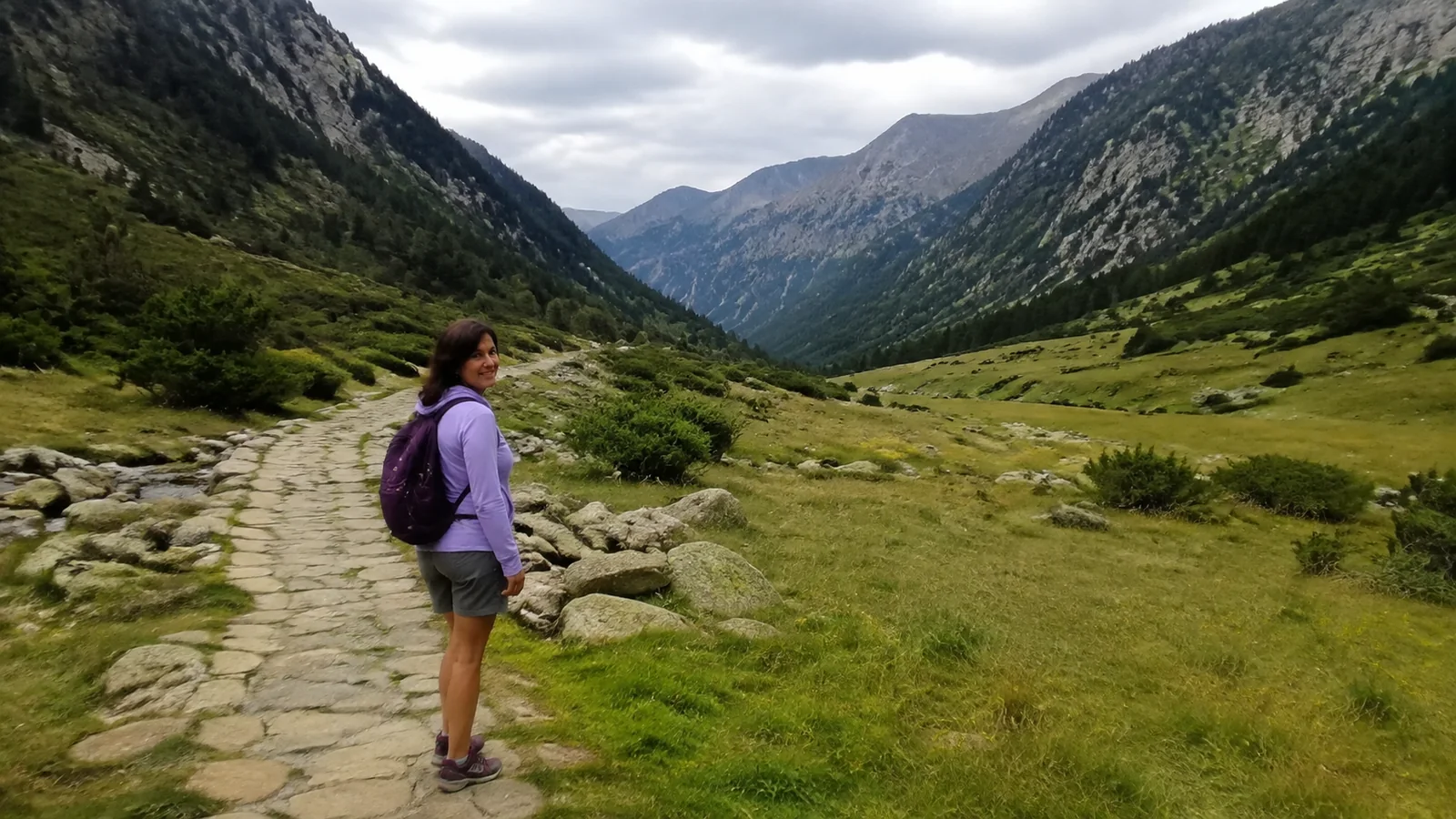
- Bring water, food, sun protection, insulation, and a waterproof layer.
- Tell someone your route and expected return.
- Stay off summits and ridges when thunder threatens.
- Call 112 for a genuine emergency.
Altitude, steep gain, and dry air can surprise hikers who are strong at sea level. The variable-weather packing logic in these Scotland travel tips applies here, but Andorra also demands stronger sun protection and mountain footwear.
Never depend on cell coverage, a cotton hoodie, or another hiker to solve a bad decision. Mountain rescue is for emergencies, not a planned ride home after missing the last bus.
Where to Stay for Hiking
Ordino or La Massana: Best for Sorteny, Tristaina, Casamanya, and Comapedrosa access. These bases shorten northern trailhead drives while keeping restaurants and bus connections nearby.
Canillo, Encamp, or Soldeu: Best for Engolasters, Incles, Juclar, and eastern routes. Check whether your hotel is near the bus stop you need because mountain roads make a short map distance feel inconvenient.
Andorra la Vella or Escaldes-Engordany: Best for travelers mixing easier hikes with shopping, dining, and spa time. You will have the widest services but longer transfers to many trailheads.
Mountain refuges: Best for early starts and multi-day routes. Staffed huts require reservations during their operating season, while an unstaffed shelter should never be treated like a guaranteed hotel bed.
Getting to Andorra and the Trailheads
Andorra has no airport and no rail station inside the country. Official tourism guidance says the nearest French station is L’Hospitalet-près-l’Andorre, about 7 miles by road from the border, while scheduled buses connect Andorra with Barcelona, Toulouse, Lleida, and other cities.
Use the official getting-here page to identify current transport providers, then verify directly before buying. A car offers the easiest trailhead flexibility, although parking controls and seasonal access can still require buses, gondolas, or walking.
If you are arriving through Spain, the route-planning principles in this northern Spain road trip help with rental-car pacing. Confirm that your rental contract permits Andorra and understand border, insurance, and roadside-assistance coverage in writing.
Entry Requirements for American Travelers
Andorra is reached through France or Spain, so travelers must meet the entry rules for the Schengen countries they transit. The State Department says American tourists do not need an Andorran visa for stays of 90 days or less and should have a passport valid for three months beyond departure.
Travelers who require a Schengen visa may need a double- or multiple-entry visa because Andorra is outside the Schengen Area. Verify current Andorra travel and entry information and the rules of Spain or France before departure.
Keep your transit-country documents and insurance details available offline, especially if your route crosses the border more than once. These practical Europe travel tips cover the rest of the arrival basics without distracting from your hiking plan.
My Bottom Line
For a first Andorra hiking trip, combine Camí de les Pardines, Tristaina, and one moderate forest or valley route. Add Casamanya only if your group is fit and the forecast is stable, and save Comapedrosa or Coronallacs for genuinely experienced hikers.
Andorra’s trails are close together, but they are not interchangeable. Match elevation and exposure to your ability, confirm how you will reach the trailhead, and let the mountains decide when turning around is the best call.