Vancouver to San Francisco Road Trip: A Realistic 12-Day Route
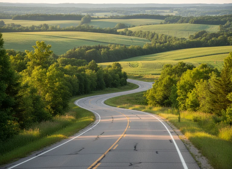
The road from Vancouver to San Francisco can be a fast Interstate 5 run or a glorious coastal vacation, but it cannot be both on the same rushed schedule. This 12-day route protects the Olympic Peninsula, Oregon Coast, redwoods, and Northern California without turning every morning into a checkout race.
Choose the route before booking hotels
The direct route follows Interstate 5 through Seattle, Portland, and Northern California. It is the better choice when you have three to five days, want city stops, or need simpler driving with more frequent services.
The coastal route uses Washington highways, United States 101, and selected California 1 segments. It takes at least 10 days and feels far better with 12 to 14 because ocean viewpoints, beaches, rain forests, and redwood walks all consume daylight.
- Three to five days: Take Interstate 5 and choose Seattle, Portland, or one overnight near Mount Shasta.
- Seven to nine days: Build a hybrid with one city, the central Oregon Coast, and redwoods.
- 12 days: Use the coastal itinerary below and accept a few transfer days.
- 14 days: Add a full Vancouver day and a second redwood or Mendocino day.
Do not call the whole journey the Pacific Coast Highway. Highway 1 does not run from Vancouver, and United States 101 is a different road that joins and separates from California 1.
Resolve the border and rental first
Every traveler needs documents that match their citizenship, residence, and method of entry into the United States. Check the current U.S. Customs and Border Protection requirements instead of assuming that a passport alone covers every nationality.
Canadian citizens traveling on Canadian passports generally do not need ESTA, but that exception does not automatically extend to Canadian permanent residents or other passport holders. Travelers who require an ESTA, visa, or I-94 should resolve it before paying for nonrefundable lodging.
The rental is a separate approval problem. Get written confirmation that the exact rental may cross from Canada into the United States, that every driver is authorized, that insurance applies in both countries, and that a one-way San Francisco return is permitted.
One-way international inventory can be limited or unavailable even when a booking website shows cars in both cities. Compare the total drop charge with a Vancouver-to-Seattle train or flight followed by a U.S. rental, because changing cars can be cheaper and easier.
At the border, have passports and supporting documents ready, know what is in the car, and declare required goods. Check the Washington border-wait page on departure morning, but keep extra time because a displayed estimate is not a promise.
The realistic 12-day coastal itinerary
Day 1: Vancouver
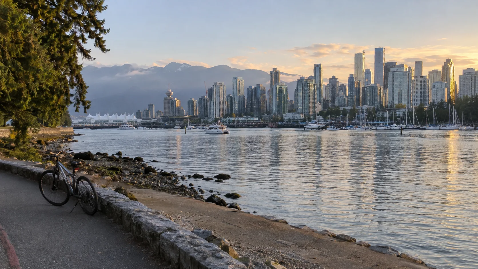
Keep the first day car-light with Stanley Park, the seawall, Granville Island, or a neighborhood dinner. Picking up the rental on departure morning can save a parking day if your company permits the cross-border drop.
If Vancouver begins a longer Canadian vacation, shape that portion separately with the Canada road-trip ideas. Do not borrow days from the coast until the border and rental pieces are confirmed.
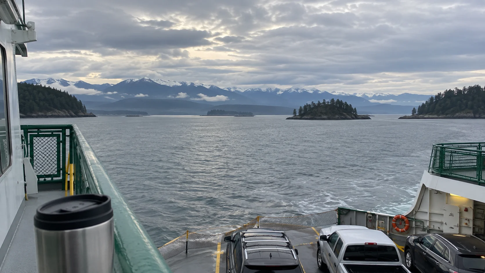
Day 2: Vancouver to Seattle
The direct drive is roughly 140 miles before local detours, but the border makes this a schedule rather than a simple mileage calculation. Leave Vancouver after morning traffic only if the crossing is light, or start early and plan lunch south of the border.
Choose one Seattle focus, such as Pike Place Market and the waterfront, rather than attempting the market, Space Needle, museums, and multiple neighborhoods after a crossing day. Stay where the parking cost and next morning’s exit make sense, not merely where the room rate looks lowest.
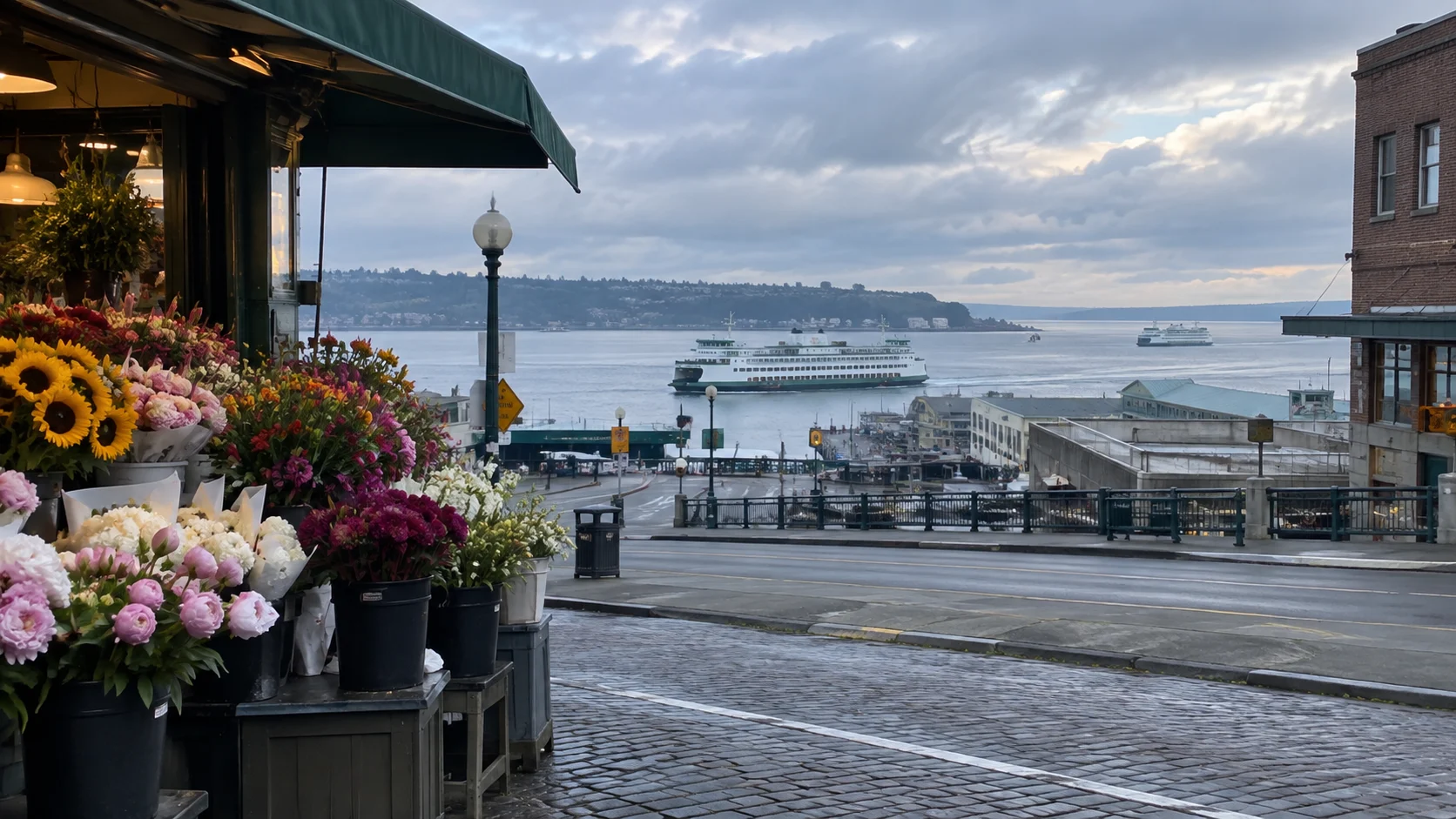
Day 3: Seattle without moving hotels
A second Seattle night prevents the trip from becoming a string of dinners beside suitcases. Use transit or walk for central attractions, then retrieve the car only for a destination that truly requires it.
If Olympic National Park matters more than Seattle, leave after breakfast and shift this night to Port Angeles. That trade creates an easier mountain or Lake Crescent morning on day four.
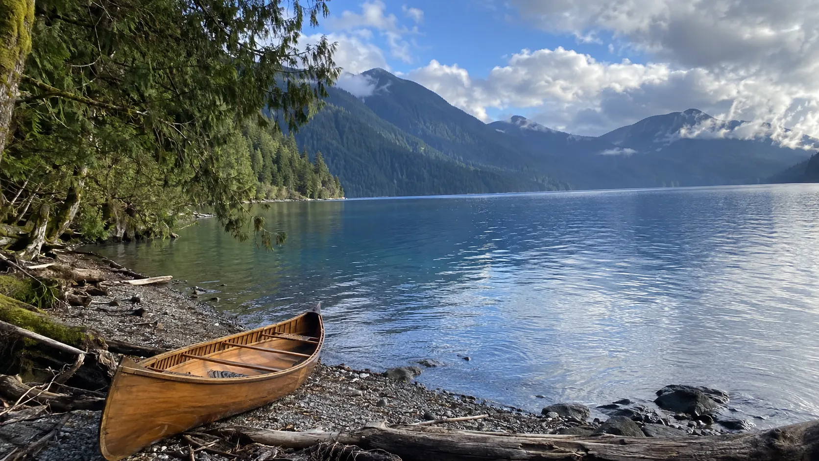
Day 4: Seattle to Port Angeles and Lake Crescent
You can drive around Puget Sound through Tacoma or take a Washington State Ferry and continue across the peninsula. Ferries add scenery but also check-in, queue, schedule, and disruption risk, so consult the current sailing rules before making one part of a timed itinerary.
Port Angeles is the practical base for Hurricane Ridge, while Lake Crescent lies west on the next day’s route. Pick one if you left Seattle late, because there is no road across Olympic National Park and every park road is an out-and-back branch.
Hurricane Ridge Road can close for weather even when town is sunny. The park has limited services at the ridge, so bring layers, food, water, and a backup Lake Crescent walk.
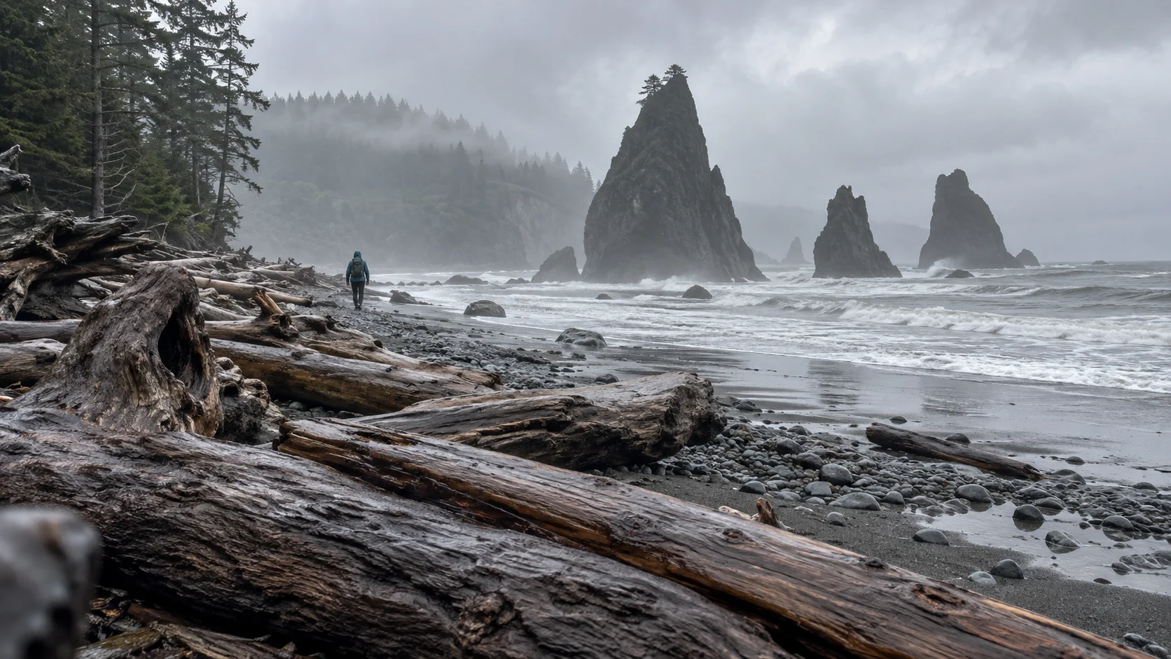
Day 5: Olympic Peninsula to the west coast
Leave Port Angeles for Lake Crescent, Forks, and either the Hoh Rain Forest or an open Pacific beach. The Hoh entrance can have one- to two-hour summer waits, making an arrival before 8 a.m. or after 5 p.m. far more productive.
Review Olympic National Park’s current conditions because road construction, flooding, seasonal facilities, and campground reservations change the feasible route. In 2026, Mora Road is closed beyond Mora Campground from July 8 through October 15, so Rialto Beach access cannot be assumed during that period.
Stay near Forks, Kalaloch, or farther south according to the one major park area you selected. Trying to visit Hurricane Ridge, Hoh, Rialto, and Ruby Beach in one day ignores the peninsula’s shape.
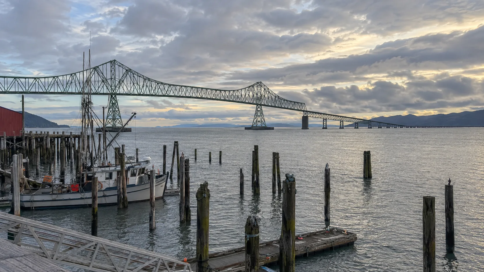
Day 6: Olympic coast to Astoria or Cannon Beach
This is a transfer day of roughly 180 to 210 miles depending on your starting point and beach stops. Cross the Columbia River near Astoria, then choose an Astoria overnight for history and a calmer evening or Cannon Beach for sunset access.
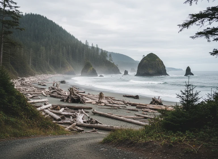
Limit beach stops to two, such as Ruby Beach and one South Coast viewpoint. Tide, fog, parking, and driftwood hazards deserve time that a navigation estimate never includes.
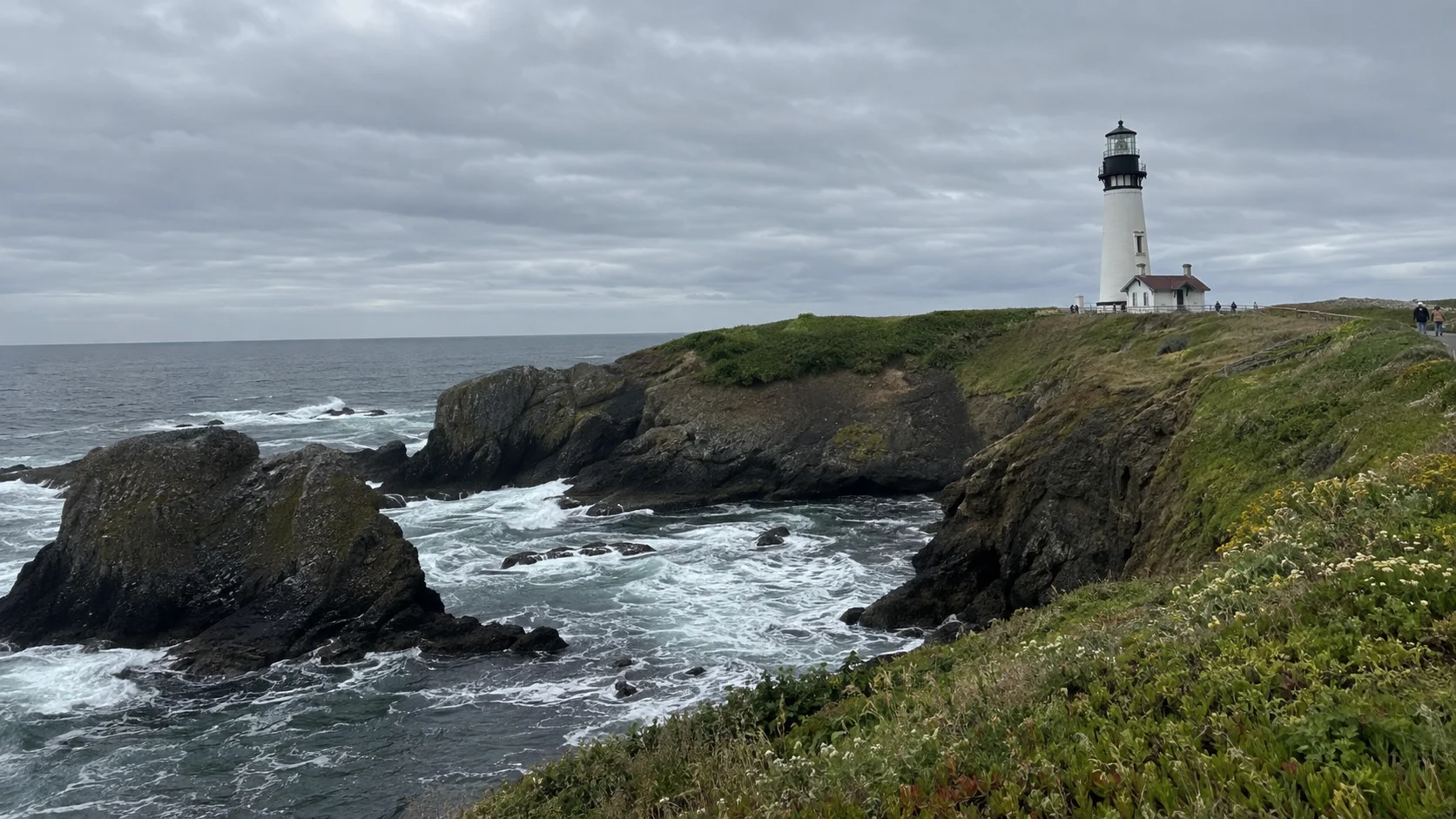
Day 7: North Oregon Coast to Newport
From Cannon Beach, United States 101 reaches Newport in roughly 135 miles before detours. Ecola viewpoints, Tillamook, Cape Kiwanda, and the Three Capes area cannot all be meaningful stops on the same day.
Choose Ecola State Park for headland scenery or one Three Capes stop for a longer walk, then continue to Newport. Confirm parking fees and park alerts, and never leave food or visible luggage in an unattended car.
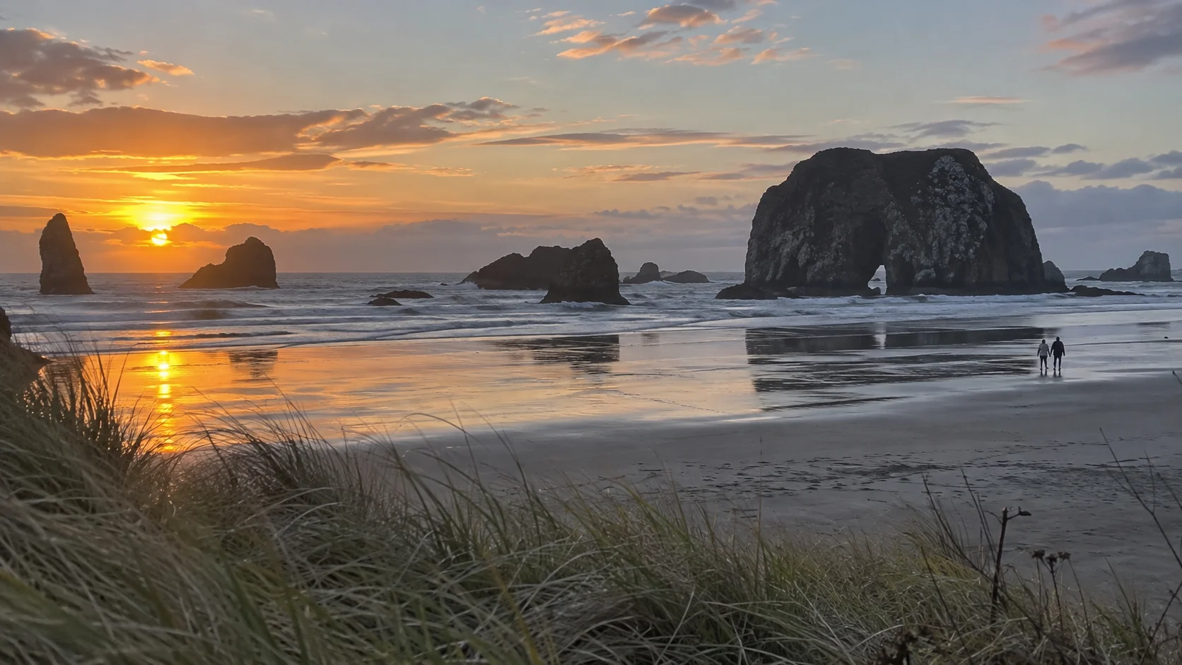
Day 8: Newport to Bandon
The 120-mile spine is short enough to invite too many additions. Select Cape Perpetua or the Oregon Dunes as the main experience, with one secondary lighthouse or beach stop.
Use Oregon TripCheck for United States 101 incidents, construction, weather, and camera views. Saved route times cannot account for a coastal crash, bridge work, high wind, or fallen tree.
Bandon is a useful overnight because it gives the sea stacks an evening and keeps the California border manageable the next day. Coos Bay offers more services if room price or late arrival matters more than a beach walk.
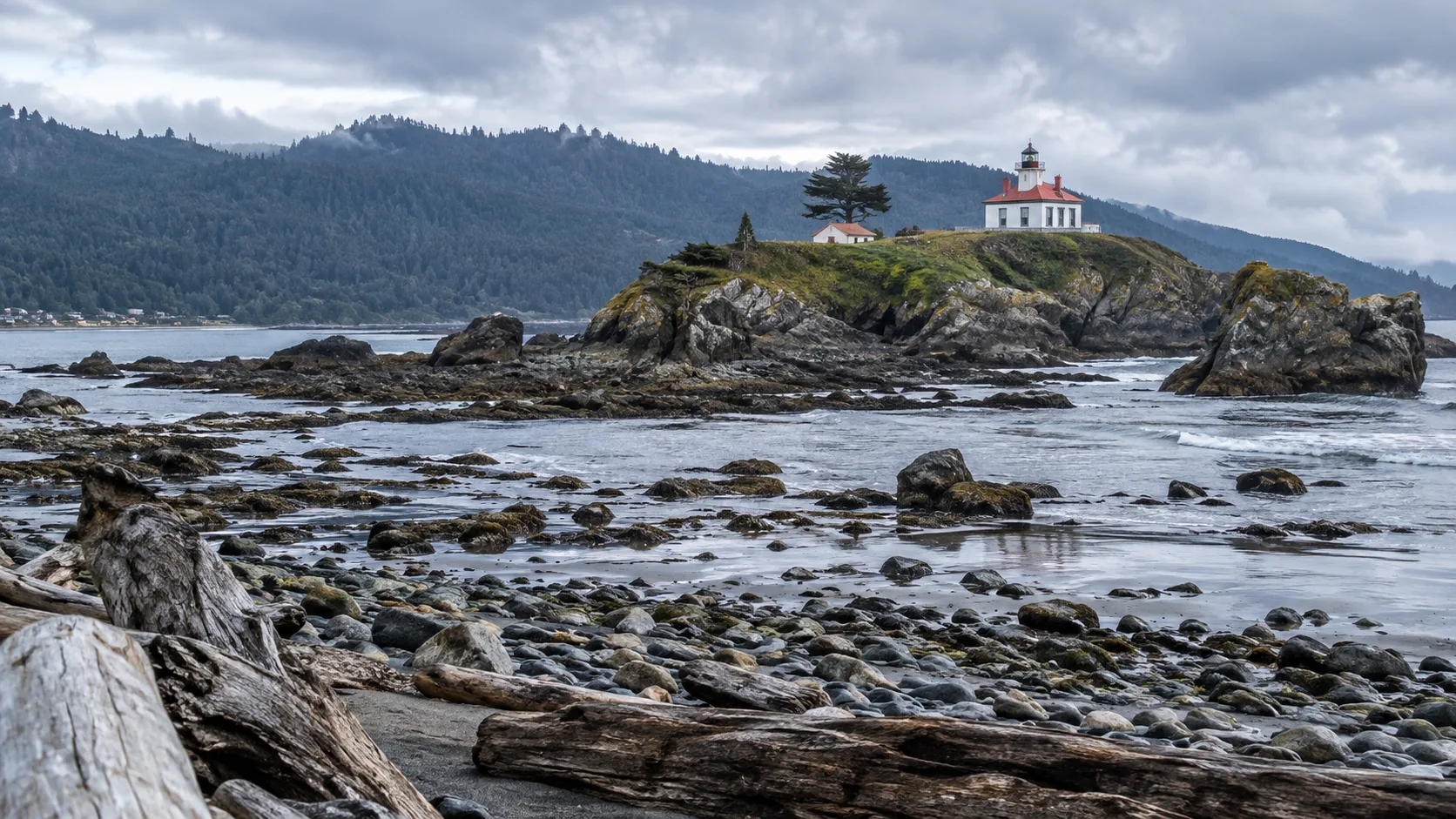
Day 9: Bandon to Crescent City
Allow most of the day for the approximately 110-mile drive because the Samuel Boardman Scenic Corridor rewards several short stops. Pull fully into designated areas, never stop in a travel lane, and skip a viewpoint when the lot is full.
Cross into California and sleep in Crescent City for easy access to Jedediah Smith Redwoods State Park. Fuel before an evening forest detour and keep the final walk short enough to finish before dark.
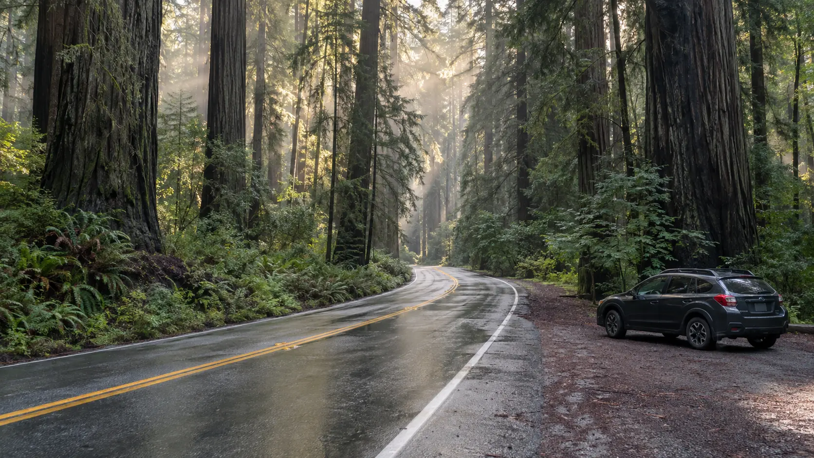
Day 10: Redwood country to Eureka
Drive Howland Hill Road only if current conditions and the rental contract suit a narrow, unpaved route. Large vehicles and drivers uncomfortable with tight forest roads should use paved alternatives and established groves.
Farther south, Newton Drury Scenic Parkway offers a beautiful paved redwood drive when open. Fern Canyon requires more planning because the day-use access road includes stream crossings and seasonal parking reservations.
Check the official Fern Canyon reservation page for the trip’s exact date. A reservation does not guarantee that a low-clearance rental should attempt Davison Road after heavy rain.
Stay in Arcata or Eureka after one major grove and one shorter walk. Redwoods reward slow eyes, not a contest to collect the most named trails.
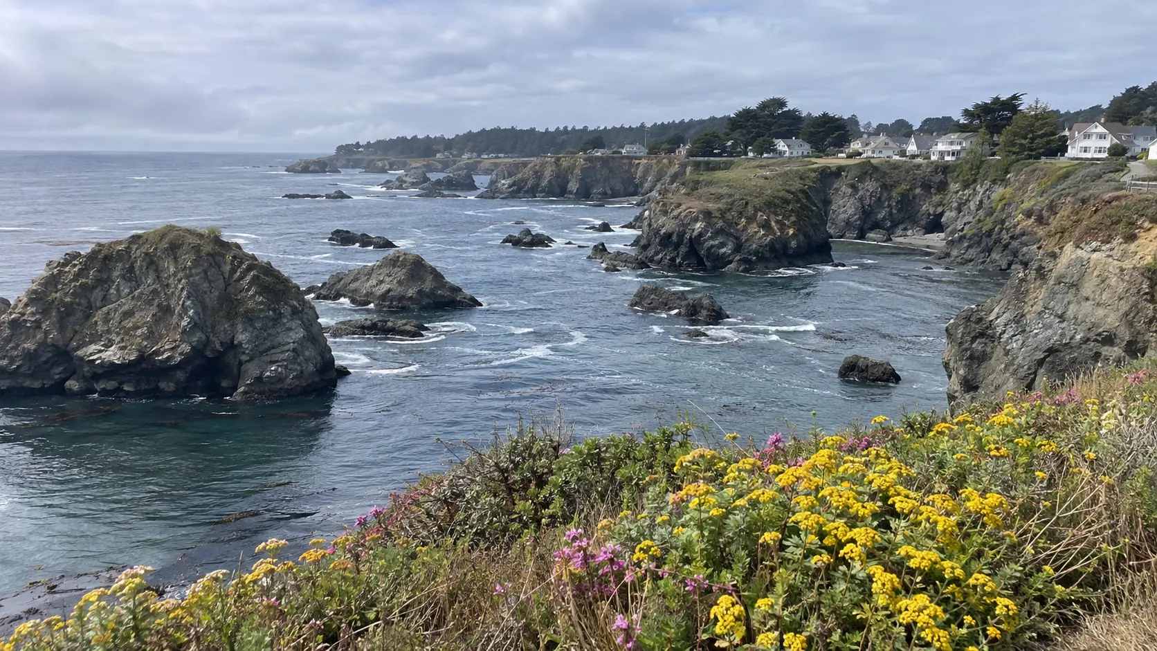
Day 11: Eureka to Mendocino or Fort Bragg
United States 101 passes Humboldt Redwoods State Park before the route can turn onto California 1 at Leggett. The Leggett-to-coast section is narrow and winding, so travelers prone to motion sickness should build breaks into the afternoon.
Fort Bragg has more lodging and services, while Mendocino offers a compact village and headland walks. Pick one base, then arrive before dinner rather than adding every Avenue of the Giants pullout.
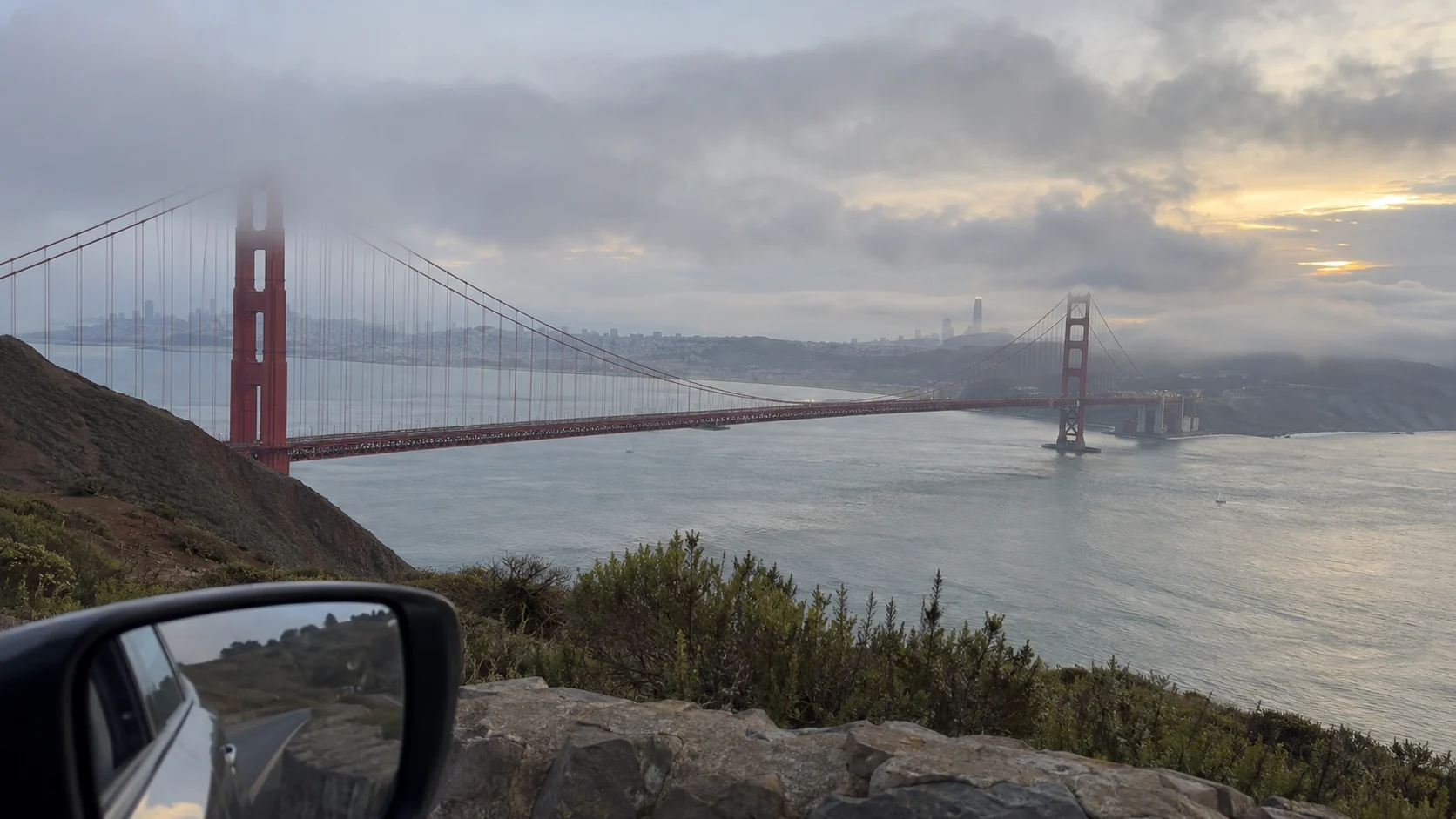
Day 12: Mendocino Coast to San Francisco
The roughly 170-mile route from Fort Bragg to San Francisco can take most of a day once curves, construction, Point Arena, Sonoma Coast, or Point Reyes enters the plan. Choose one major coastal stop and protect daylight for the final approach.
Return the rental on arrival if central San Francisco is the finish. Transit, walking, and occasional rides usually beat hotel parking, garage rules, traffic, and the risk of leaving luggage in a car.
California 1 is always conditional
California 1 is vulnerable to slides, wildfire closures, construction, and one-way traffic control. Check Caltrans Highway 1 conditions before each California segment, not only before leaving Vancouver.
An open attraction does not prove the highway continues through beyond it. Identify the exact closure points, determine whether the stop can be reached from your direction, and know the inland connector before committing to a long coastal branch.
This itinerary ends in San Francisco and does not require Big Sur south of the city. If you continue toward Monterey or Los Angeles, build that as a new route whose current Highway 1 status determines the overnight plan.
When to take this road trip
July and August offer the warmest pattern and longest practical park days, but also higher lodging prices, traffic, wildfire smoke risk, and crowded trailheads. Reserve the international one-way rental and popular park lodging months ahead when possible.
September is often the best balance for fewer families and relatively dry coastal weather, although wildfire, smoke, fog, and early storms remain possible. Shorter daylight means the same driving distance leaves less time for a beach or grove.
May and June bring green landscapes and lower shoulder-season pressure, but rain and cool mornings are normal. Winter demands a much simpler route because mountain access, storm damage, flooding, high surf, and limited daylight can overturn a coastal schedule.
How to keep the budget honest
- Price the international one-way fee before comparing daily rental rates.
- Add parking in Vancouver, Seattle, Portland, and San Francisco by night.
- Budget for two currencies, fuel, park admission, ferries, and day-use fees.
- Choose rooms with included parking outside city centers when transit is not needed.
- Carry picnic food for park days, but store it securely and follow wildlife rules.
- Keep one refundable night when a closure could change the route.
A cheaper remote hotel can cost more after fuel, bridge traffic, and an hour of backtracking. Compare the complete travel day, not only the room column.
Road-trip safety for this coast
Never leave passports, medication, electronics, or luggage visible in a parked vehicle. Load the car before leaving the hotel, use the covered cargo area when available, and take essential items on every walk.
Coastal beaches carry sneaker-wave, cold-water, cliff, and driftwood hazards. Check tides for beach walks, face the water, stay off wet logs, and keep children well back from the active surf.
Download offline maps but follow closure signs over the app. Keep the fuel tank above one-quarter, carry water and warm layers, and avoid forest or coastal roads when fatigue has slowed your decisions.
Traveling with friends can reduce lodging and fuel costs, but only if drivers and expectations are settled early. The road trip with friends ideas can help with stops, while this route’s rental contract decides who may actually drive.
How to shorten the route
For nine days, remove the Olympic Peninsula and travel Vancouver to Seattle, then Seattle to the north Oregon Coast. Keep Newport, Bandon, Crescent City, a redwood night, Mendocino, and San Francisco.
For seven days, use Interstate 5 to Portland, move to the Oregon Coast near Newport, and continue through Bandon and the redwoods. Skip Mendocino by following United States 101 toward Sonoma and San Francisco.
For three or four days, stay on Interstate 5 and admit that the trip is transportation with selected city breaks. The broader Pacific Coast road trip can wait for a vacation that gives the ocean the time it deserves.
Final route check
Confirm entry documents, written rental permission, one-way return, and insurance before lodging. Recheck the border, ferry if used, Olympic roads, Oregon 101, redwood permits, California 1, weather, wildfire, and smoke as their relevant days approach.
The best Vancouver-to-San Francisco road trip is not the one that touches every famous pin. It is the one that reaches San Francisco with enough unhurried mornings to remember the rain forest, dunes, and redwoods along the way.