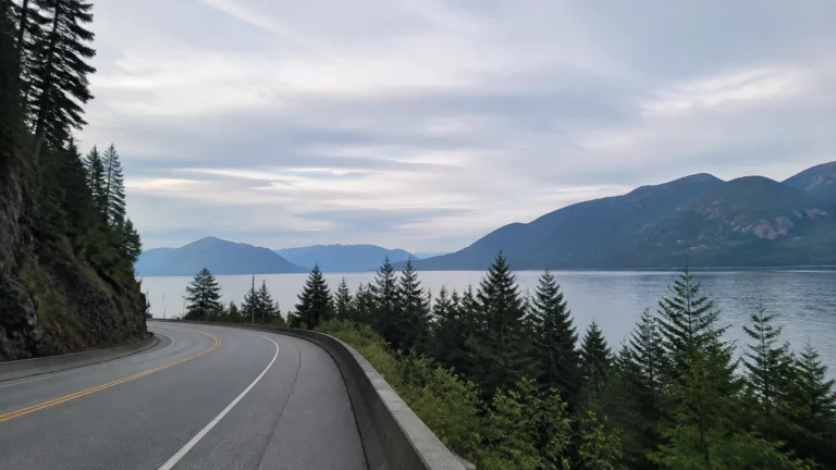
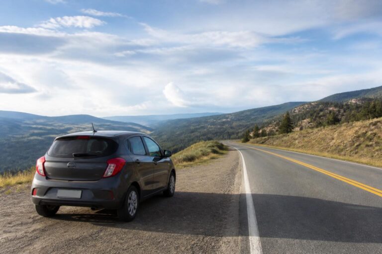
Wisconsin Waterfall Road Trip: 5-Day Northwoods Loop
Northern Wisconsin rewards travelers who slow down, but its waterfalls are too spread out for casual zigzagging. This five-day loop starts in Green Bay, links five dependable waterfall areas, and tells you exactly where short walks end and rugged footing begins.
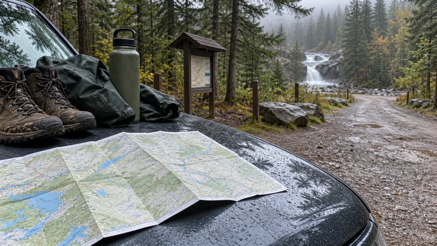
Your Wisconsin waterfall road trip at a glance
Allow about 700 to 750 miles for the full loop, depending on your lodging and meal stops. The route moves east to west, so you spend more time at waterfalls and less time retracing forest roads.
- Day 1: Green Bay to Dave’s Falls, Long Slide Falls, and Smalley Falls, then sleep near Pembine or Iron Mountain.
- Day 2: Drive to Mellen and hike Copper Falls State Park.
- Day 3: Visit Morgan Falls, then enjoy an easy afternoon in Ashland.
- Day 4: Continue to Amnicon Falls and Pattison State Park, then sleep in Superior.
- Day 5: Return to Green Bay, or finish in Duluth if you arranged a one-way rental.
Five days is the sweet spot for most travelers. You can compress this into four, but Day 4 becomes rushed and you lose the cushion that northern weather and roadwork often demand.
Before you point the car north
Download offline maps and save each trailhead, because cell service fades quickly away from towns. Recheck navigation the morning you leave, since construction and forest-road conditions can change the best route.
You will encounter three different fee systems. Marinette County sells a $5 vehicle day pass for its waterfall parks, Wisconsin state parks require a vehicle admission pass, and Morgan Falls charges a federal day-use fee.
Bring a credit card, but keep small bills in the glove box for unattended fee stations. Pack water, lunch, bug spray, a rain shell, and shoes with real traction rather than smooth-soled sandals.
This route pairs well with a larger Upper Midwest road trip. Add at least two nights if you want to fold in Door County, the Apostle Islands, or Michigan’s Upper Peninsula.
Day 1: Green Bay to Marinette County waterfalls
Leave Green Bay by 8 a.m. and allow roughly 90 minutes to reach Dave’s Falls County Park near Amberg. Exact drive time depends on your starting neighborhood, so treat every mileage estimate in this itinerary as a planning number rather than a promise.
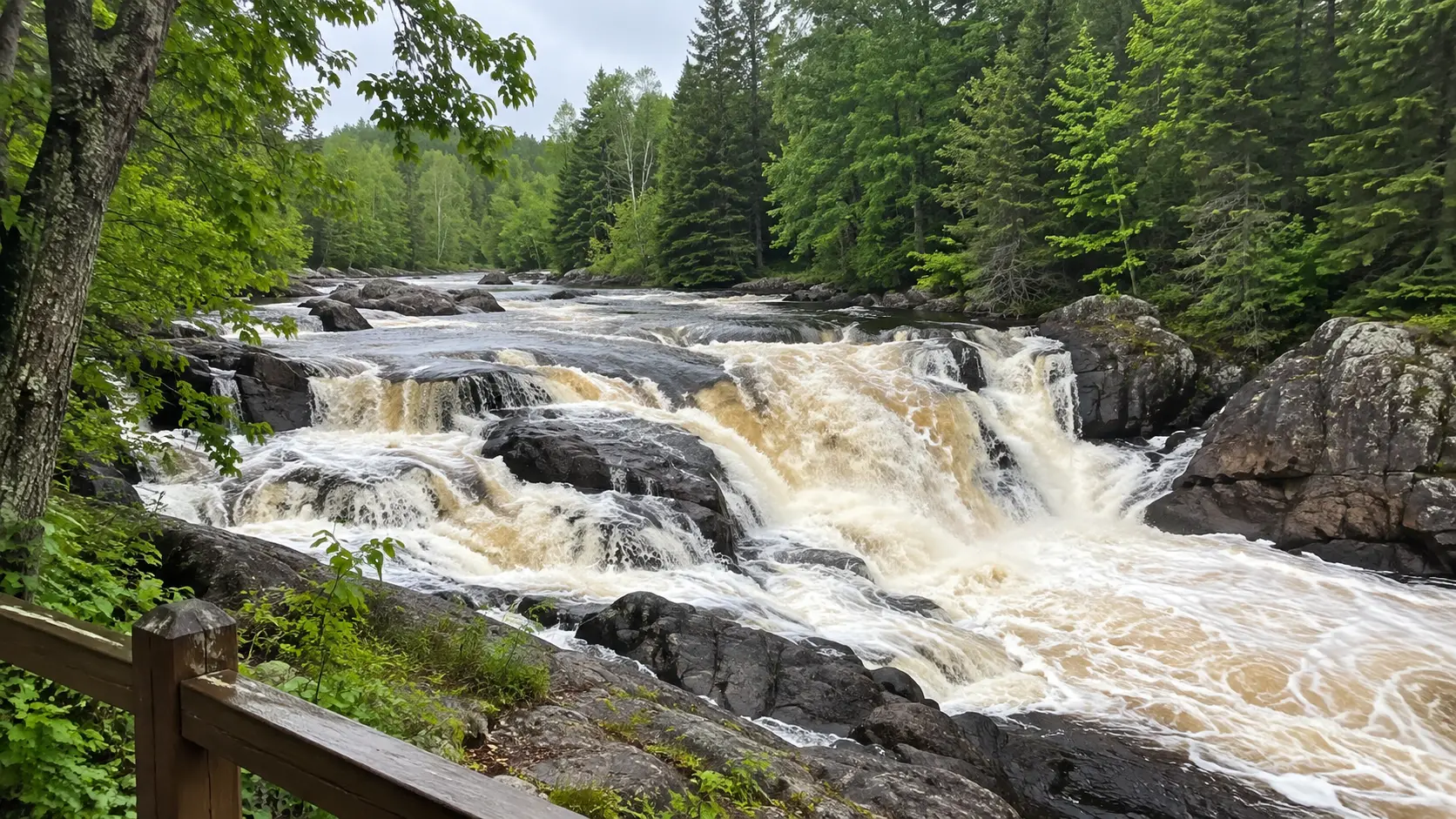
Start easy at Dave’s Falls
Dave’s Falls is the best first stop for families and travelers who want scenery without a full hike. The park has upper and lower falls, sculpted rock, picnic space, a playground, and hand-pump water, though you should still carry your own drinking supply.
Give yourself 60 to 90 minutes to explore and eat an early picnic. Wet rock near the river can be slick even when the main path feels dry.
Choose your challenge at Long Slide Falls
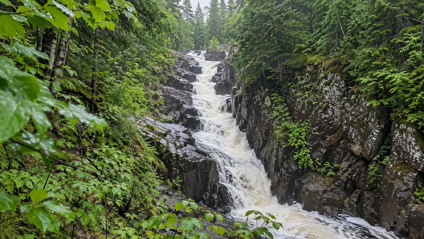
Long Slide Falls is about a 25-mile drive north, followed by a quarter-mile walk from the paved parking area. The waterfall drops about 50 feet through a rocky gorge, but the lower viewpoints require steep, uneven terrain.
You do not need to scramble to the bottom to make this stop worthwhile. Anyone with shaky knees, young children, or limited balance should enjoy the safer upper perspective and turn around before the rough descent.
Add Smalley Falls only if time and footing cooperate
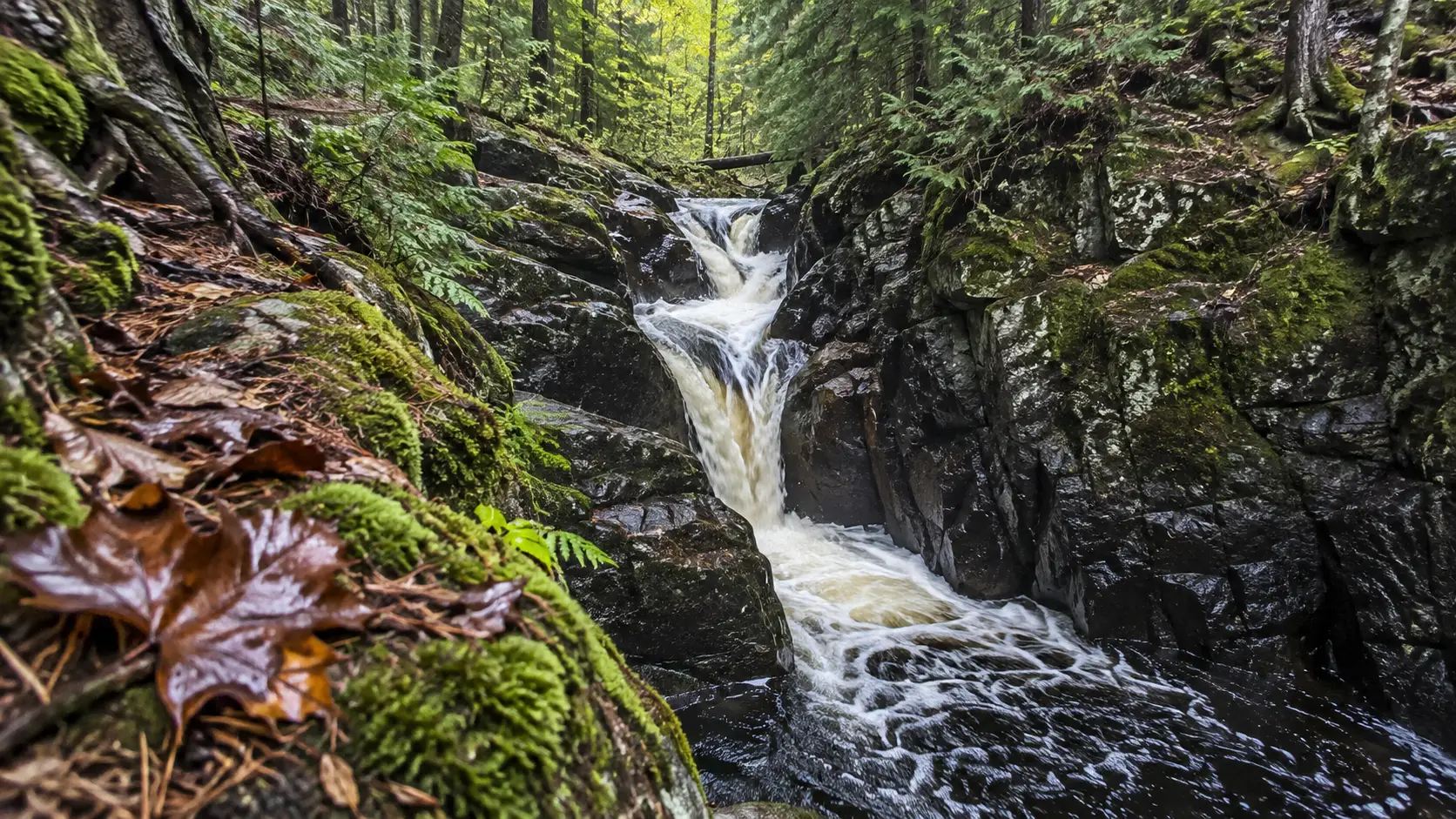
Smalley Falls is approximately half a mile west of Long Slide by car, with a short approach to a narrow cascade. The stop is compact, but roots, rocks, and damp ground can make it more demanding than its distance suggests.
The same Marinette County day pass covers all county parks you visit that day. Confirm current fees and conditions on the official Marinette County waterfall page before leaving pavement.
Sleep near Pembine for the shortest backtrack, or choose Iron Mountain for a wider selection of hotels and restaurants. Fuel up that evening because Day 2 begins with the longest transfer before the final drive home.
Day 2: Cross the Northwoods to Copper Falls
Plan on roughly three hours from the Pembine area to Mellen, plus time for fuel and lunch. Some navigation options may briefly use roads in Michigan, so review the route instead of assuming every suggested turn stays in Wisconsin.
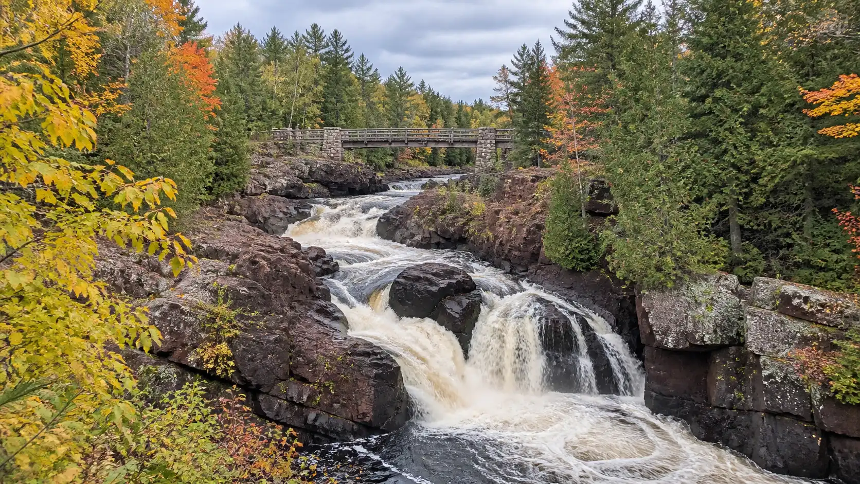
Arrive at Copper Falls State Park by early afternoon and make the 1.7-mile Doughboys Nature Trail your main event. The loop follows the Bad River and Tyler Forks with views of Copper Falls, Brownstone Falls, and several cascades.
The distance sounds modest, but rock steps and elevation changes deserve unhurried time. Allow two to three hours for the loop, viewpoints, photos, and a snack break.
A more accessible Copper Falls option
The park recommends a half-mile crushed-granite portion as universally accessible, leading from an accessible trailhead toward a Copper Falls overlook and Civilian Conservation Corps bridge. That description applies to this section, not the entire Doughboys loop.
Travelers using wheelchairs, walkers, or strollers should check current surface conditions after heavy rain. The Wisconsin DNR hiking page for Copper Falls also notes that part of the trail closes in winter because the rock stairs become slippery.
Dogs are not allowed on the Doughboys Nature Trail and cannot be left unattended, so pet owners need a different plan. Stay in Mellen for a quiet night or drive about 25 miles north to Ashland for more dining and lodging choices.
Day 3: Morgan Falls and an Ashland afternoon
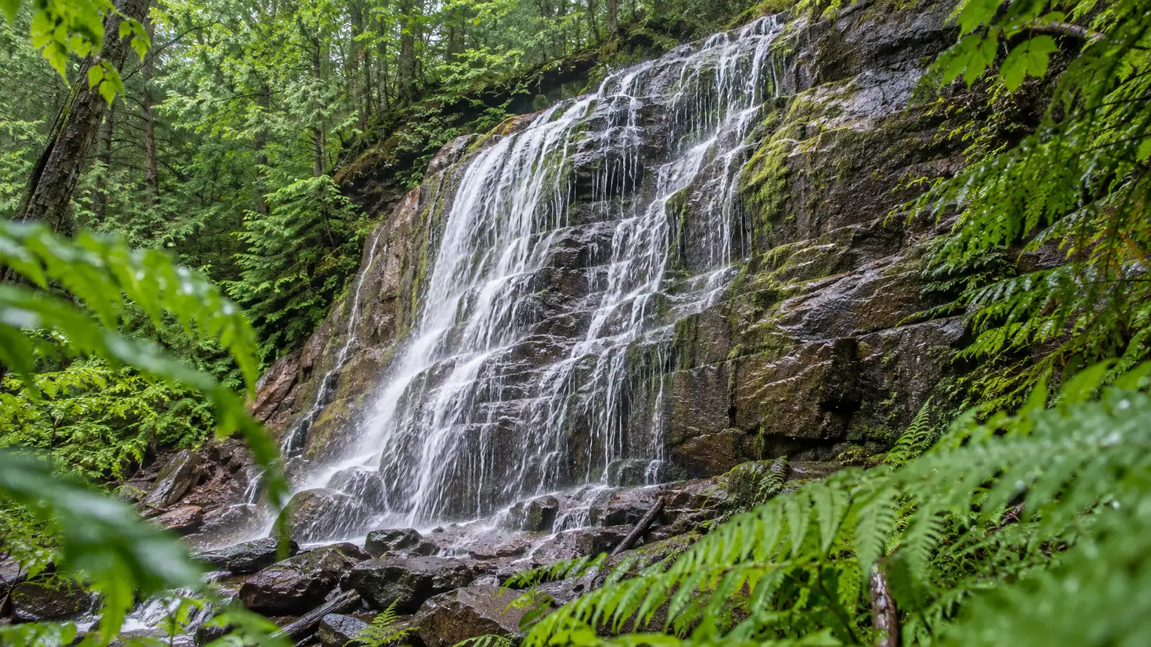
Morgan Falls gives your legs a break after Copper Falls. From Mellen, the Forest Service directions total about 19 miles, including the final approach on Ashland-Bayfield Road.
The nearly three-quarter-mile trail to the 70-foot falls uses boardwalk and bridge sections and is described as accessible. Allow 90 minutes to two hours so you can stop, listen, and photograph the thin ribbons of water against the rock.
Do not confuse that route with the trail to St. Peter’s Dome. The dome is nearly 2 miles each way with steep slopes and rocky footing, making it a separate half-day hike rather than a quick add-on.
A $5 federal day-use fee applies per vehicle, and accepted federal recreation passes can cover it. Dogs may visit on a leash no longer than 6 feet.
The Forest Service posted a 2026 alert about fall trail and picnic-area improvements, so check the current Morgan Falls status before driving in. A temporary project can affect parking or access even when the waterfall itself is flowing beautifully.
Spend the afternoon and night in Ashland instead of racing onward. The murals downtown and Lake Superior waterfront add variety after two trail-heavy days, and the stop fits naturally into a longer Great Lakes road trip itinerary.
Day 4: Amnicon Falls and Pattison State Park
Leave Ashland after breakfast and allow about 75 minutes for the drive to Amnicon Falls State Park. This is your most waterfall-packed day, but both parks offer satisfying short options.
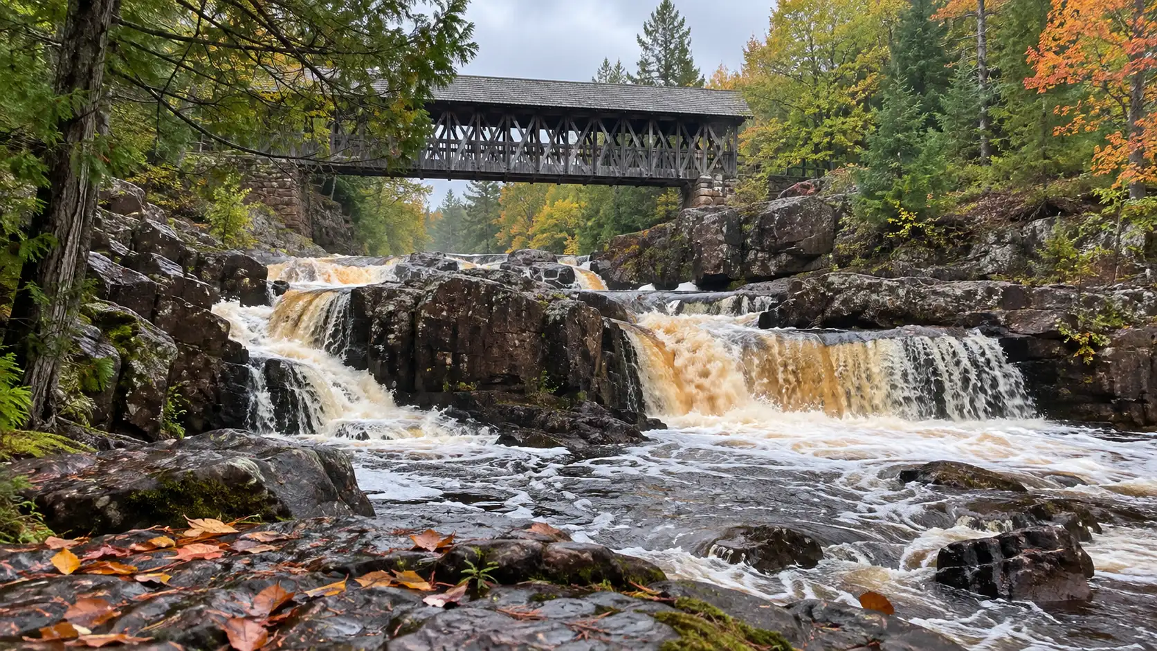
Walk the island at Amnicon Falls
The quarter-mile island trail takes in Upper, Lower, and Snake Pit falls, plus the covered bridge by Lower Falls. Add about half a mile along the river if energy and conditions are good.
The park has 1.8 miles of trails in total, and the river walks are relatively flat and easy. That makes Amnicon a strong choice for mixed-ability groups, although natural surfaces can still be muddy or uneven.
Swimming and wading are permitted, but this should remain a sightseeing trip rather than a swimming plan. The DNR warns that flow changes daily, rocks are slippery, there is no designated beach or lifeguard, and jumping or diving is prohibited.
Check trail notices and water cautions on the official Amnicon Falls hiking page. Then drive approximately 25 miles west to Pattison State Park.
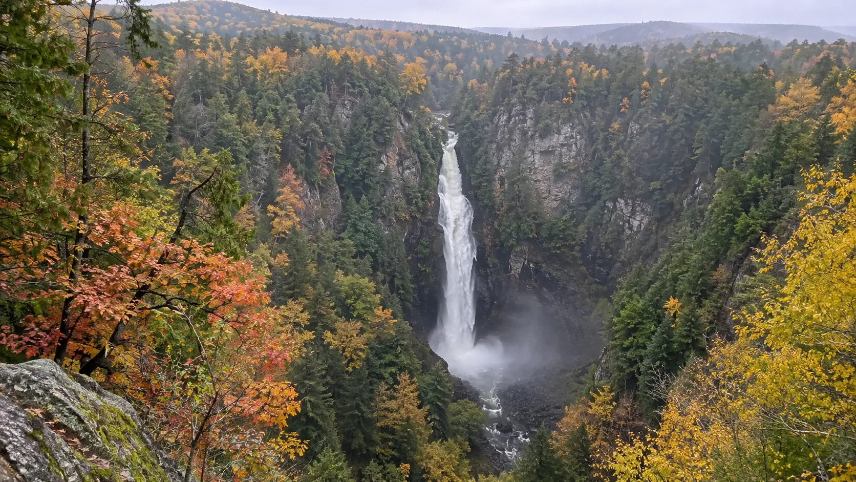
Finish with Wisconsin’s tallest waterfall
Big Manitou Falls drops 165 feet and delivers the grand finale this route deserves. From the main picnic area, a pedestrian tunnel under Highway 35 connects to about half a mile of trails with views from both sides.
The Big Manitou River Trail is another half mile downhill to the Black River, but its steep grade makes it optional. If you still have time, Little Manitou Falls drops 31 feet and offers a contrasting, closer-scale cascade.
Pattison has more than 7 miles of trails, so trying to cover everything late in the day is a recipe for hurry. Choose the Big Manitou overlooks first, then use the official Pattison trail descriptions to match any extra walk to your remaining daylight.
Stay in Superior, about 20 minutes north of the park. If summer weather cooperates, you can also compare nearby Lake Superior stops with these Wisconsin beaches, but cold water and changing lake conditions deserve respect.
Day 5: Return to Green Bay without making it miserable
Superior to Green Bay is roughly 330 miles and usually takes at least five and a half hours before meal, fuel, and construction delays. Leave after breakfast and plan one proper break around Wausau rather than relying on hurried gas-station stops.
If a long final drive defeats the point of your vacation, finish in Duluth and arrange a one-way rental or flight. That version costs more, but it turns the route into a clean north-to-west journey and gives you another Lake Superior evening.
When is the best time for this trip?
Late May through June offers strong spring flow, fresh green forest, and long daylight. Trails can be muddy, mosquitoes can be enthusiastic, and seasonal services may still be ramping up around Memorial Day.
July and August bring the easiest family scheduling and generally comfortable road access. Dry stretches can reduce waterfall volume, and popular overlooks feel busier on weekends.
Mid-September through early October is the scenic favorite for cool hiking weather and northern fall color. Peak color shifts from year to year, so build your trip around a practical date rather than chasing one supposedly perfect weekend.
Winter and early spring are for experienced cold-weather travelers, not a default road trip. Some parking areas are not maintained, stairs ice over, and official closures may limit the very viewpoints you drove to see.
How to keep the route affordable
The biggest costs are lodging, fuel, and state park admission. Two people can save substantially by packing breakfast and lunch, then choosing one relaxed restaurant meal in Ashland or Superior.
Compare the price of daily state park admission with the current 12-month vehicle pass if you will enter several Wisconsin state properties. Do the same math for Marinette County only if you expect to visit county parks on more than one day.
Book refundable rooms when possible, especially during fall-color weekends. A heavy-rain forecast can make forest roads and rocky trails poor choices even if your hotel cancellation deadline says otherwise.
Waterfall safety that actually matters
- Stay behind railings and treat wet rock as slippery, even when other visitors step beyond the marked path.
- Keep children within arm’s reach near fast water and unfenced drop-offs.
- Skip a lower viewpoint if you cannot see a stable route back up.
- Carry water and food; pumps, concessions, and cell service are not guaranteed.
- Check sunset time and turn back early enough to reach the parking lot in daylight.
- Leave drones at home unless you have confirmed the rules for every park and forest property.
Waterfall flow changes with rainfall, snowmelt, and drought, so no itinerary can guarantee a roaring cascade. The safer promise is a beautiful Northwoods drive with several chances to catch good water.
Common questions about this Wisconsin waterfall loop
Can I do the route with young children?
Yes, if you choose Dave’s Falls, the accessible section at Copper Falls, Morgan Falls, Amnicon’s island loop, and Pattison’s main overlooks. Skip steep lower viewpoints and keep children close near every riverbank.
Is the route wheelchair accessible?
Parts of it can work, but the trip is not universally accessible from end to end. Copper Falls identifies a half-mile accessible segment and Morgan Falls has an accessible trail, while weather and natural surfaces can still affect usability.
Can I bring my dog?
Policies vary by property, and Copper Falls specifically prohibits pets on the Doughboys Nature Trail. Verify every park’s current rule before booking, and never leave a pet unattended in a vehicle or at a trailhead.
Should I reverse the route?
Reverse it if lodging availability or a Duluth arrival makes west-to-east easier. Starting in Green Bay works well because Day 1 is gentle, while Big Manitou Falls provides a dramatic final waterfall before the drive home.
The best version of this trip is the one you do slowly
Do not measure success by the number of pins you collect. Five well-chosen waterfall areas, honest turnarounds, and enough time for a Lake Superior sunset will feel far better than fifteen rushed parking lots.