12 Alberta Waterfalls: Easy Viewpoints to Full-Day Hikes
Alberta makes waterfall planning look deceptively simple.
The best choice depends on whether you want a five-minute viewpoint, a canyon walk with railings, a half-day hike, or a remote stop that requires its own road-trip module.
Choose your Alberta waterfall by effort
For the least walking, start with Cameron Falls, Lundbreck Falls, Bow Falls, or Athabasca Falls. Families who want a defined trail can compare Johnston Canyon with Troll Falls, while stronger hikers should look at Siffleur Falls or Bow Glacier Falls.
- Best easy village stop: Cameron Falls in Waterton.
- Best roadside power: Athabasca Falls south of Jasper.
- Best family canyon walk: Johnston Canyon near Banff.
- Best half-day hike: Siffleur Falls near Nordegg.
- Best southern pairing: Blakiston Falls and Lundbreck Falls.
- Best Calgary day trip: Elbow Falls or Troll Falls.
A short path does not guarantee an accessible experience. Stairs, wet rock, steep grades, snow, full parking lots, and temporary closures can change the right answer for your group.
1. Cameron Falls, Waterton
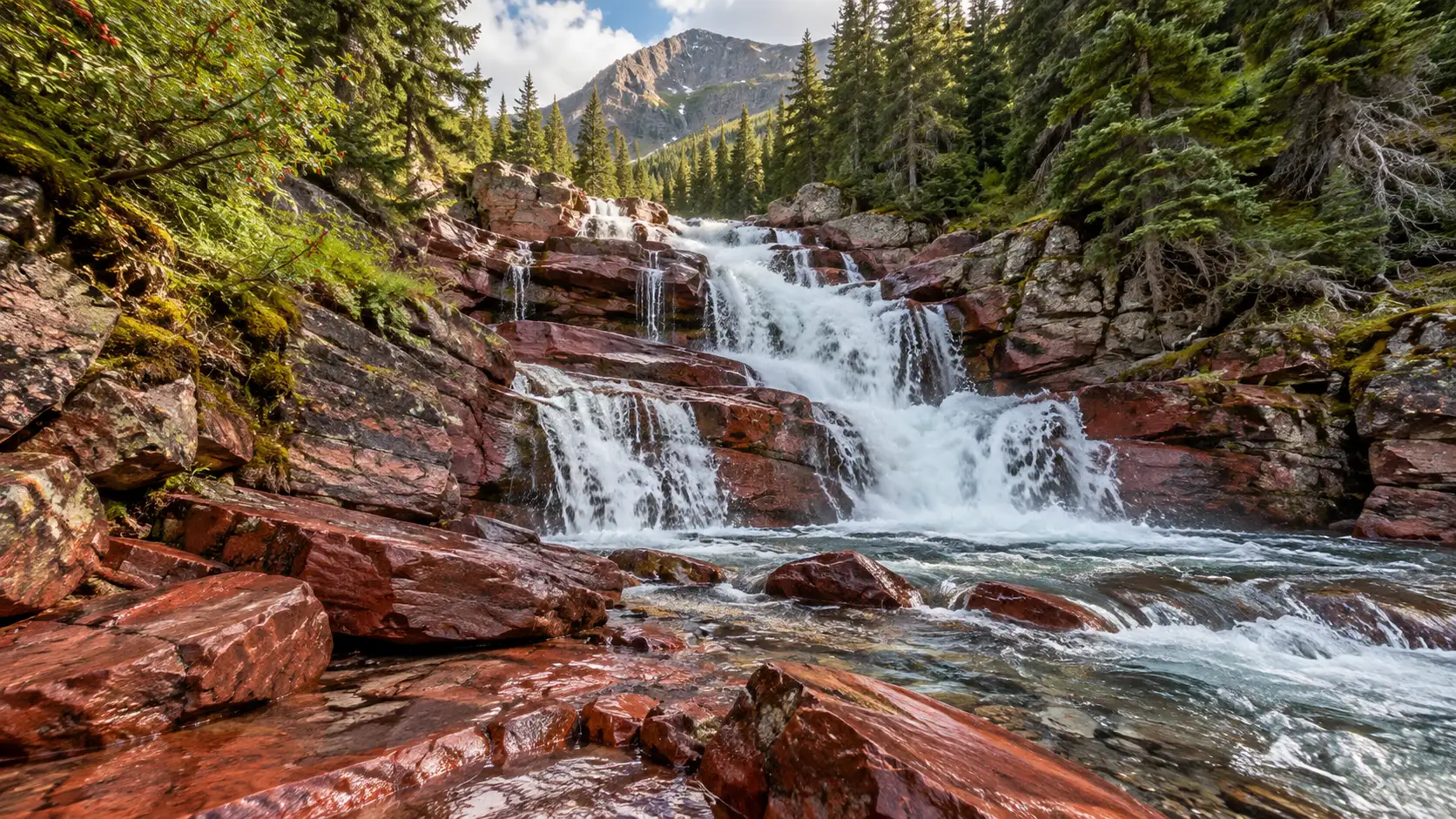
Cameron Falls tumbles through Waterton village, only steps from parking and town services. It is the strongest first choice for travelers who want a big visual payoff without committing to a mountain hike.
Use the established viewing area and resist climbing beyond barriers for a cleaner angle. Spray and ice can make even the developed approach slick, especially early or late in the season.
Cameron works beautifully on an arrival afternoon because it does not require a trailhead drive. Pair it with the lakeshore or another short town walk rather than forcing a longer hike into uncertain weather.
2. Blakiston Falls, Waterton
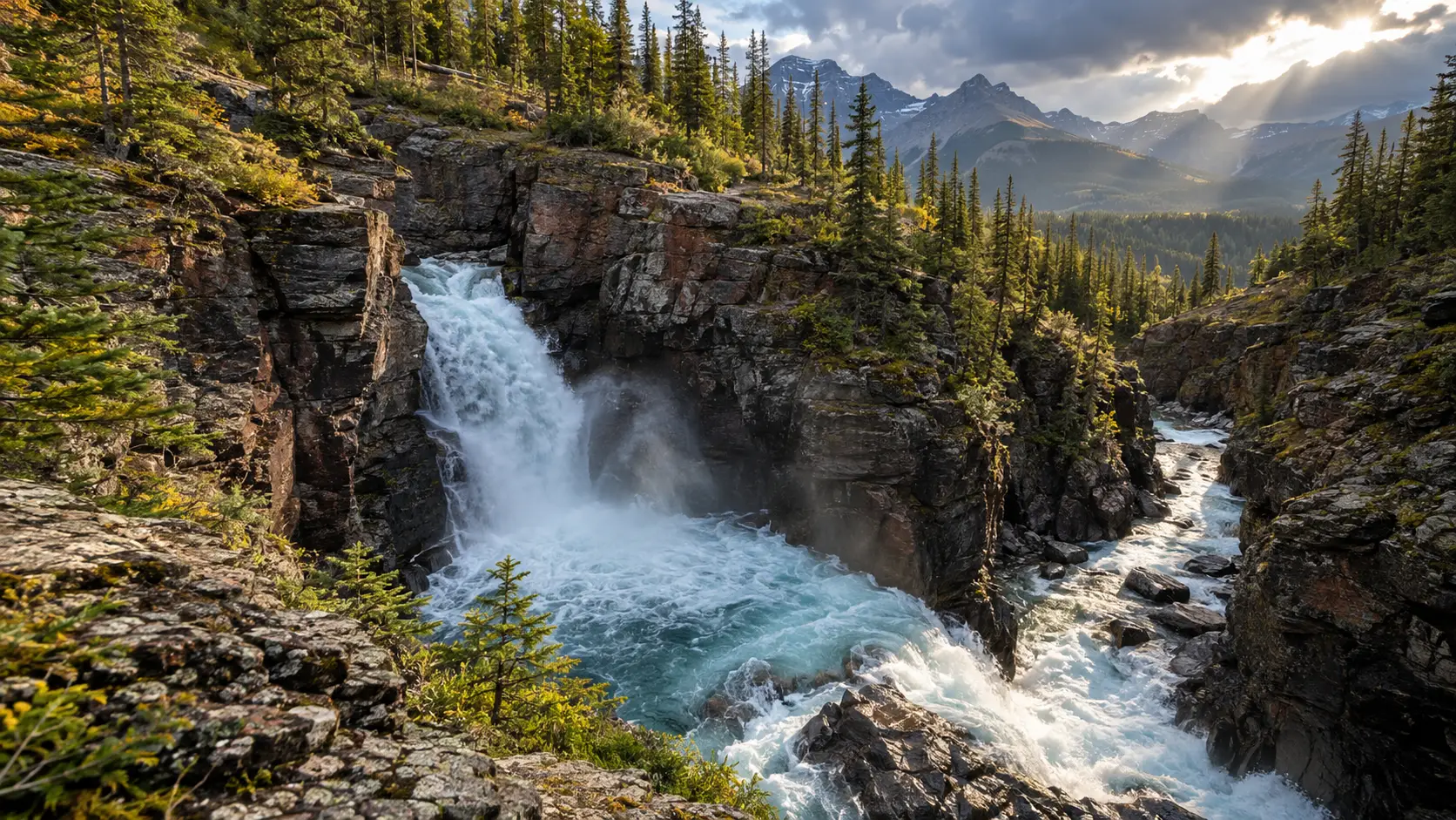
Blakiston Falls is the better Waterton choice when you want a real walk but not an all-day hike. Parks Canada lists the signed route from the Red Rock Canyon lower parking lot at about 1.2 miles round trip and roughly 45 minutes.
The trail ends at developed viewpoints above the canyon. Check the current Waterton short-walk information before leaving town because Red Rock Parkway access, weather, and wildlife activity can affect the outing.
Do not treat Red Rock Canyon and Blakiston Falls as swimming stops. Fast water, polished rock, and canyon edges are reasons to stay on the official route even when the water looks shallow.
3. Lundbreck Falls, southern foothills
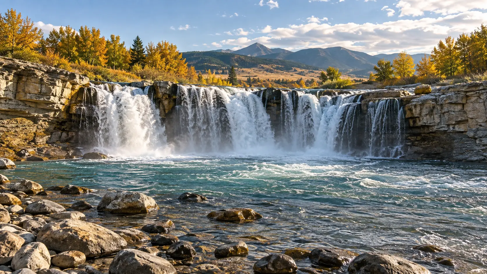
Lundbreck Falls sits just off Highway 3 between Pincher Creek and Crowsnest Pass, which makes it an easy bridge between Waterton and the southwest foothills. Two observation platforms provide different views of the twin drop into the Crowsnest River.
This is a useful choice for mixed-ability groups because the waterfall does not require a backcountry hike. Still, not every path or riverbank is level, and the developed platforms are the safest places to appreciate the canyon.
The recreation area also has a seasonal campground, but a scenic stop is simpler than building an overnight around it. Never enter the river near the falls, and ask Alberta Parks about current downstream conditions before considering any water activity.
4. Elbow Falls, Kananaskis
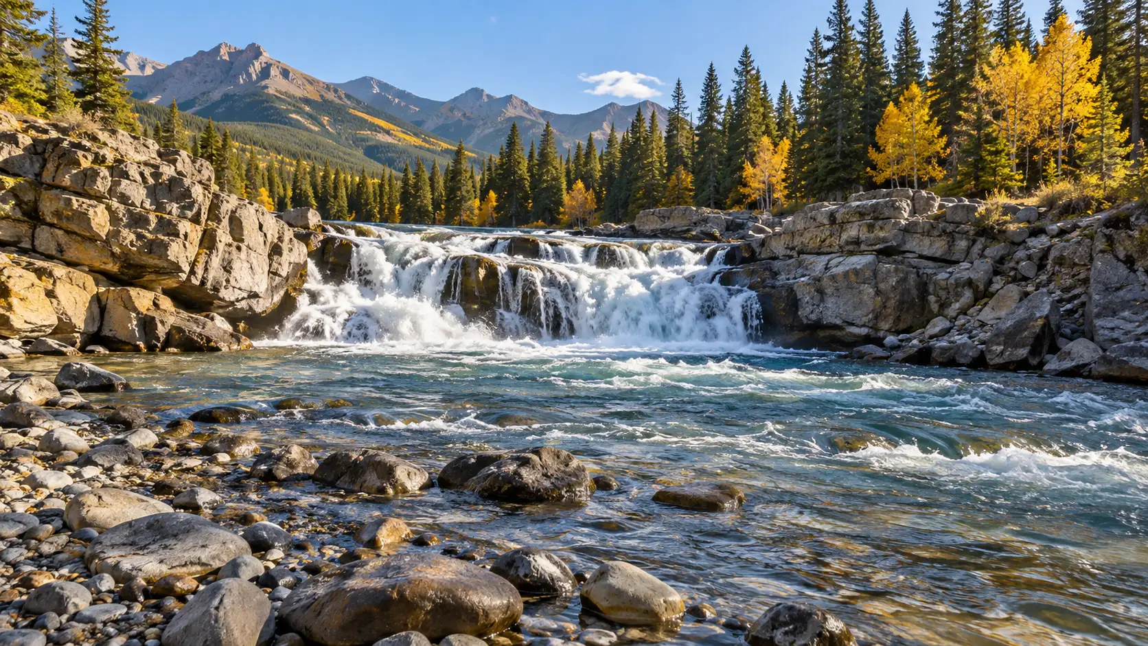
Elbow Falls is about 42 miles southwest of Calgary and suits a half-day foothills escape. Its short loop is mostly paved, although several stair sections mean it is not a fully step-free waterfall walk.
Multiple viewpoints spread visitors around, but sunny weekends can still fill the lot. Arrive early, bring drinking water, and do not count on a café or full-service visitor center at the falls.
A Kananaskis Conservation Pass is required for vehicles parked on Kananaskis provincial land unless an exemption applies. Buy the correct pass for the license plate and check Highway 66 restrictions before the drive.
5. Troll Falls and Marmot Falls, Kananaskis
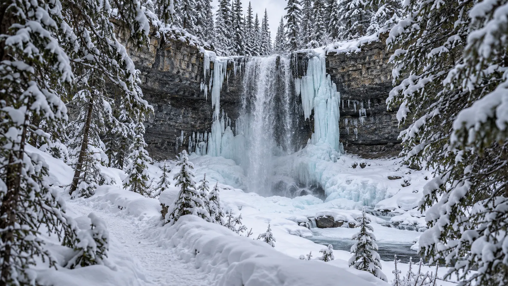
Troll Falls gives families and casual hikers a woodland route near Kananaskis Village rather than a roadside viewpoint. The established there-and-back combination to Troll and Marmot Falls is roughly 3.1 miles, with roots, mud, snow, and ice possible depending on the month.
Stay on the signed trail and use only open, maintained extensions. Social posts about climbing above the falls or following worn side paths do not establish that a route is safe or permitted.
Winter can turn the walk into a worthwhile ice-viewing outing, but traction devices and warm layers become essential. Check the current Alberta Parks trail report because closures, wildlife warnings, and surface conditions can change faster than a saved map.
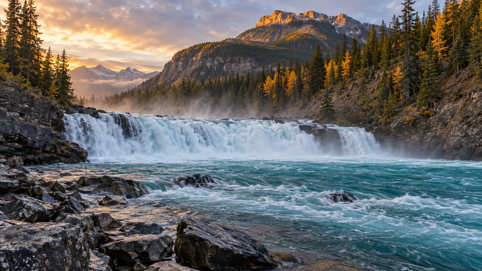
6. Bow Falls, Banff
Bow Falls is the easiest waterfall to add to a Banff stay without driving deep into the national park. The Town of Banff describes a riverside route of about 0.75 mile from Bow River Bridge to the falls, typically taking 20 to 25 minutes one way.
You can also use the nearby viewing area if the full walk does not fit. The clifftop portion closes in winter, so a warm-season route description should never be assumed valid after snow arrives.
Choose Bow Falls when your day already includes downtown Banff or the Bow River. It is not a substitute for a wilderness hike, but that is exactly why it works on a travel day or with limited mobility.
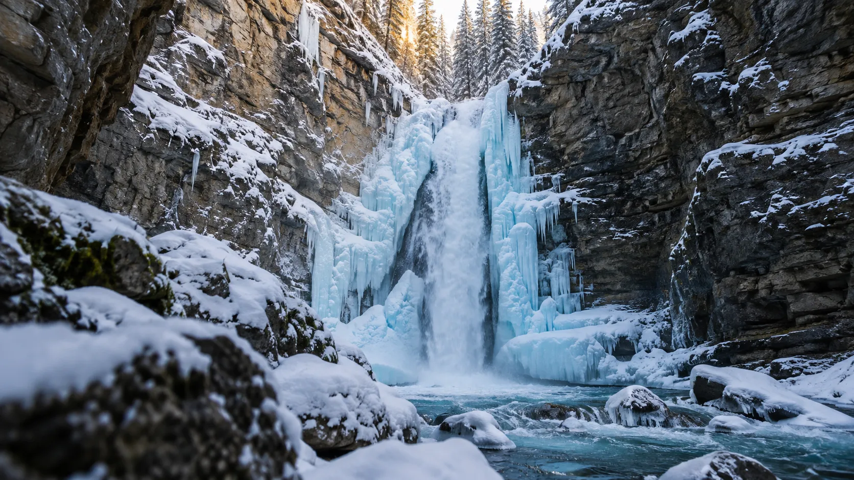
7. Johnston Canyon Lower and Upper Falls
Johnston Canyon is popular because the railings and catwalks bring visitors close to moving water and limestone walls. Lower Falls is about 0.75 mile one way, while Upper Falls extends the trip to about 1.5 miles one way.
Those modest distances can feel slower when the path is icy or packed with visitors. Start early, wear shoes with grip, keep children beside you on narrow sections, and let faster walkers pass only at wider points.
The official Banff hiking page should control your plan for trail status and seasonal conditions. Parking can fill quickly, and current Bow Valley Parkway vehicle restrictions may change how you reach the trailhead.
Skip the canyon if a quieter outing matters more than a famous photo. Bow Falls is easier, Troll Falls feels more wooded, and Blakiston Falls can fit a southern Alberta route with fewer Banff logistics.
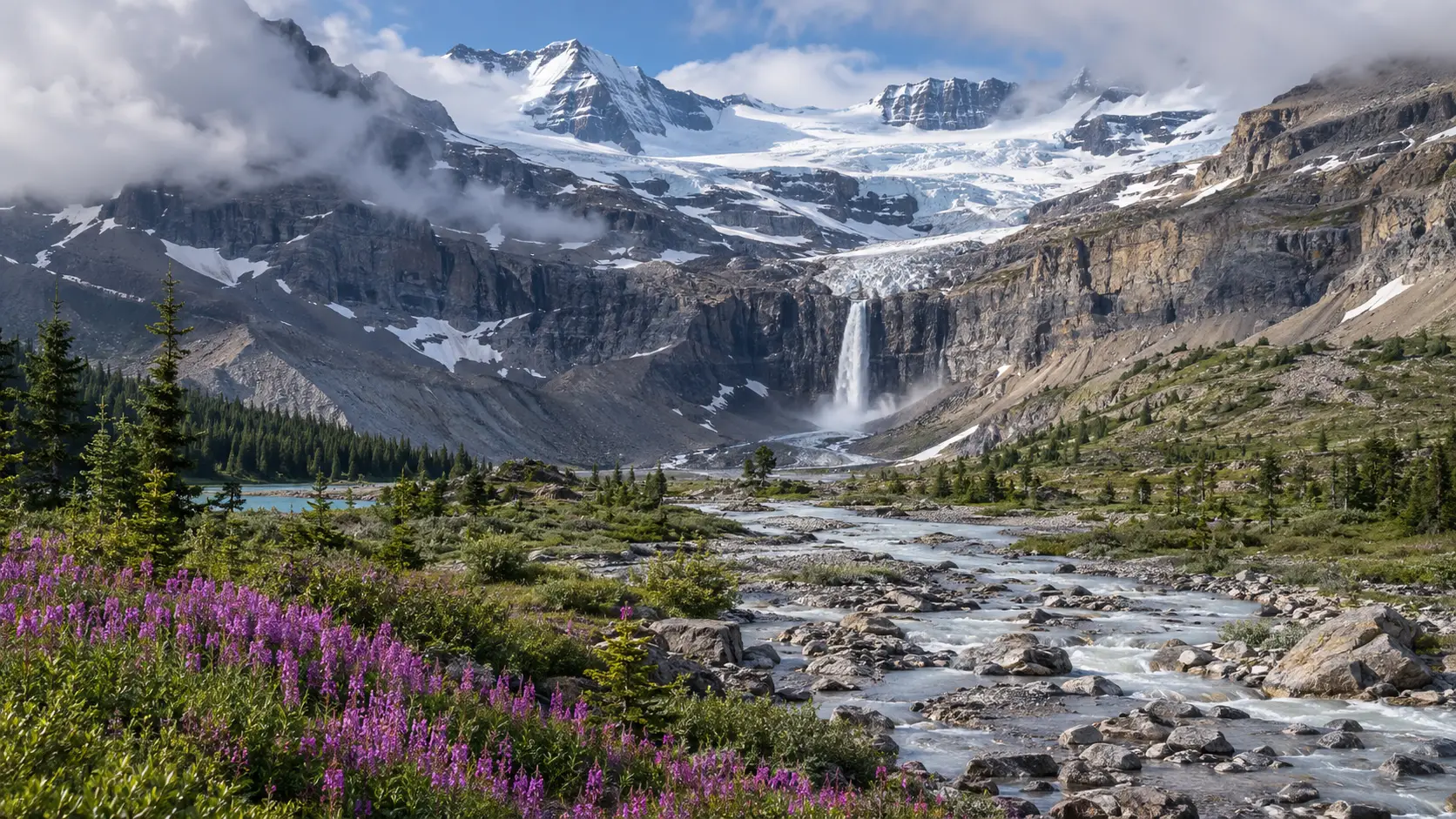
8. Bow Glacier Falls, Icefields Parkway
Bow Glacier Falls is the ambitious Banff option on this list, beginning near Bow Lake. Parks Canada lists the route at about 2.4 miles one way with roughly 312 feet of elevation gain, but distance alone understates rough surfaces and exposure near the rock wall.
Rockfall has prompted caution near the falls, so obey every current sign and stay out of any marked runout zone. If the official status or your comfort level is uncertain, enjoy Bow Lake and choose a more developed waterfall instead.
Allow about three hours for the hike plus time for parking and a lakeshore pause. Save it for a stable-weather morning rather than attaching it to an already crowded Icefields Parkway driving day.
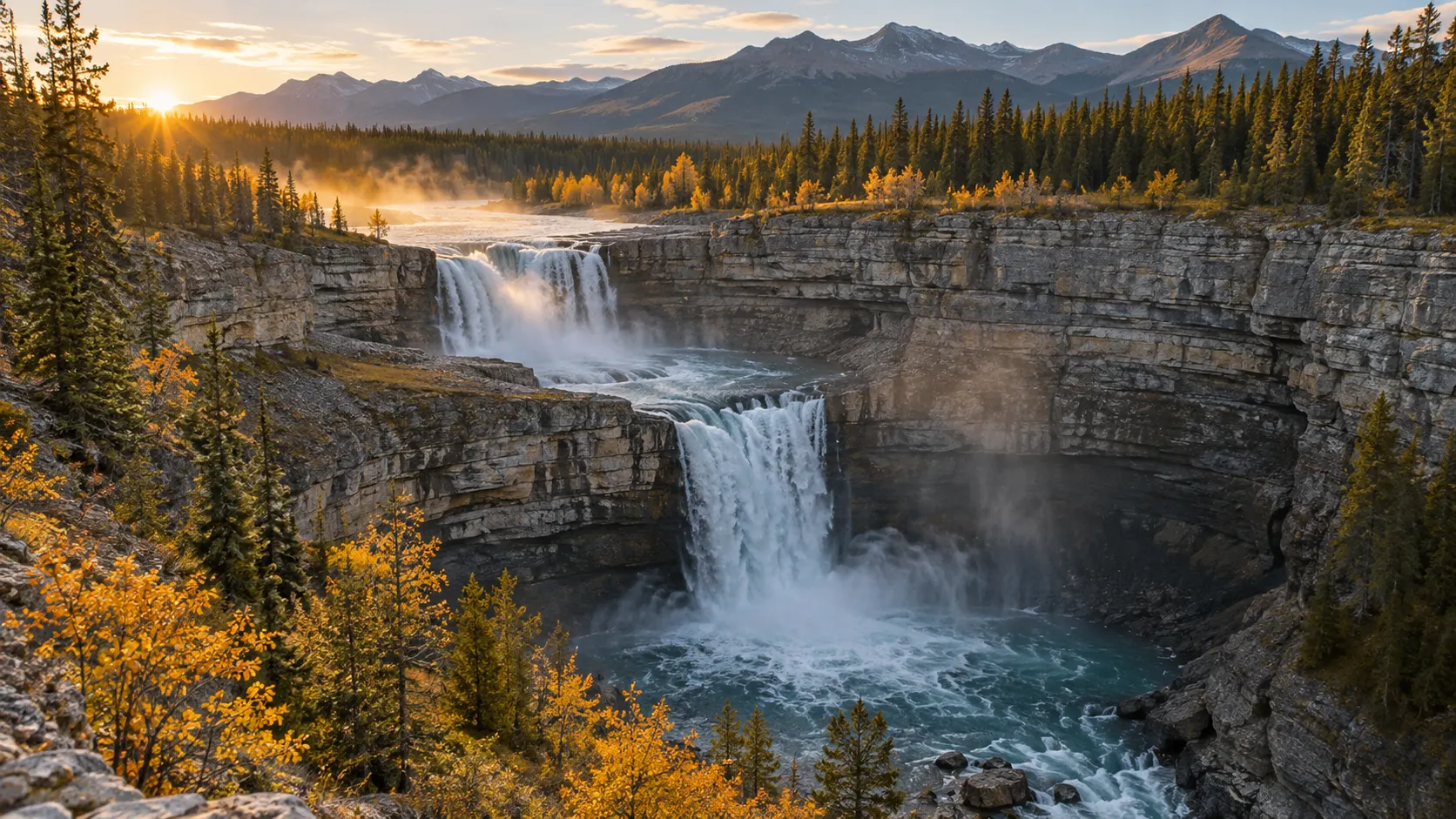
9. Crescent Falls, David Thompson Country
Crescent Falls belongs in a Nordegg and David Thompson Highway plan, not a casual Banff detour. The turnoff is about 14 miles west of Nordegg on Highway 11, followed by roughly 3.7 miles on a gravel access road.
General visitors now park at the upper lot and follow an approximately 0.5-mile trail to the day-use area, losing and regaining about 217 feet on a significant incline. Alberta Parks rates the route moderate to expert, which matters on the climb back.
Visitors with the appropriate accessible parking placard can use designated spaces and drop-off near the viewing platform. Confirm details on the current Crescent Falls page rather than assuming the old lower parking arrangement still exists.
The fenced platforms are the destination. Canyon edges, loose ground, and powerful current make unofficial paths and attempts to reach the base a poor trade for a different photograph.
10. Siffleur Falls, Kootenay Plains
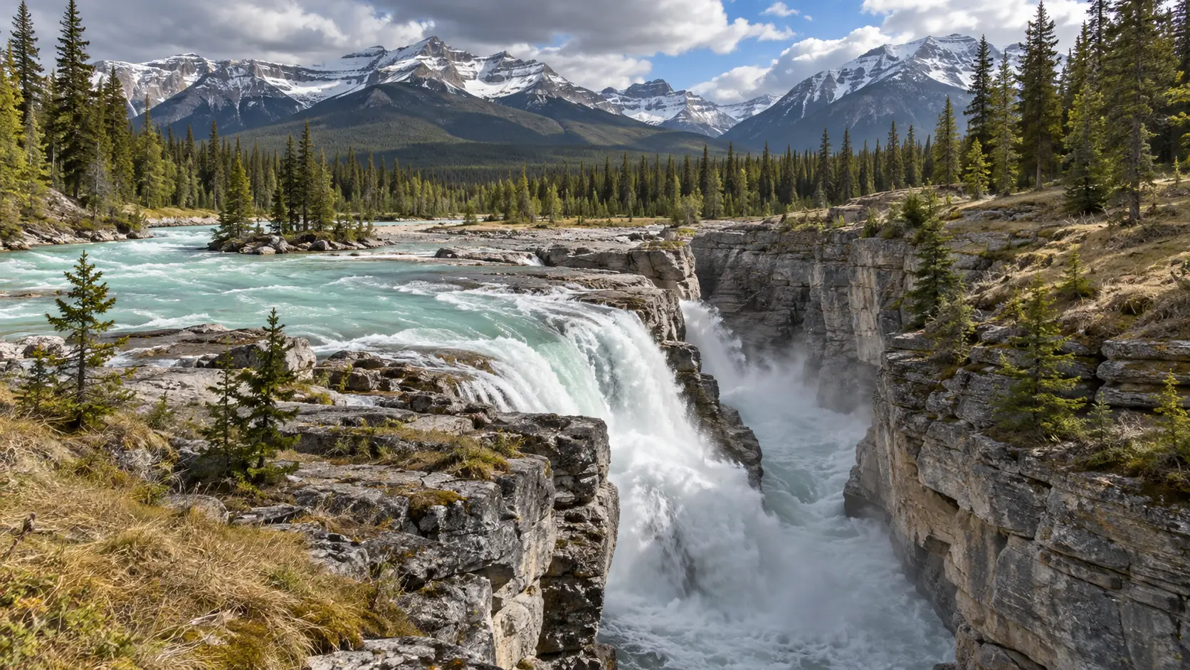
Siffleur Falls is the best fit for hikers who want open foothills, a suspension bridge, forest, and a canyon destination in one outing. Alberta Parks lists the first falls at about 2.5 miles one way from the Siffleur Falls staging area.
The route is rated moderate, but wind, sun exposure, mud, and the 5-mile round trip deserve real preparation. Carry more water than you would for a shaded canyon walk and turn back if the weather begins closing in over the ranges.
Stay on the main path and behind the guardrails at the gorge. Continuing toward the second and third falls adds distance and route complexity, so most day visitors should make the first falls their turnaround.
11. Athabasca Falls, Jasper
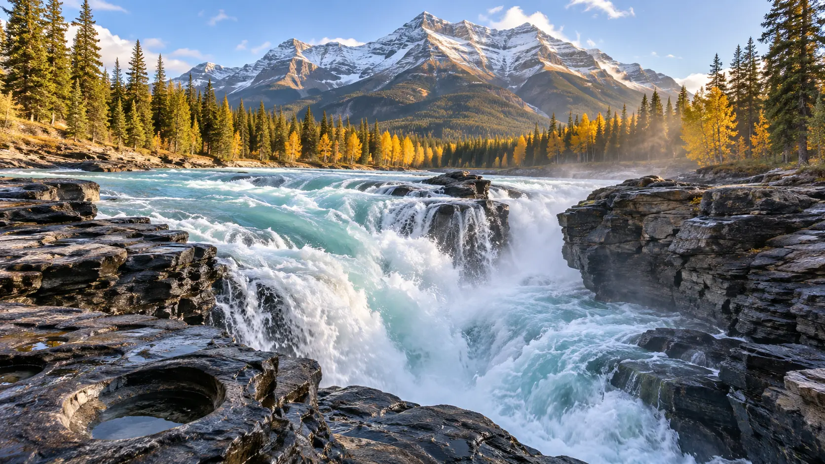
Athabasca Falls is not exceptionally tall, but the Athabasca River forces an enormous volume of water through a narrow rock channel. The official viewpoint circuit is only about 0.1 mile round trip, with several developed angles that make this the best high-impact, low-mileage stop near Jasper.
Short does not mean risk-free. Remain behind barriers because wet canyon rock is unforgiving, and no photograph is worth stepping onto a closed ledge.
In 2026, Jasper is welcoming visitors, but wildfire recovery still affects some roads, trails, and services. Check the live Jasper open and closed list instead of assuming every familiar attraction has reopened.
12. Sunwapta Falls, Jasper
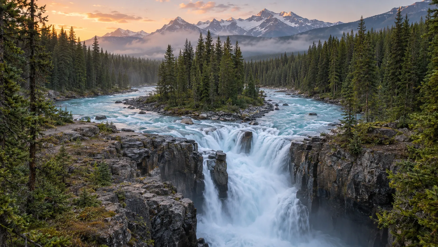
Upper Sunwapta Falls is the easy viewpoint, while the lower falls turn the stop into a worthwhile short hike. Parks Canada lists the lower-falls route at about 1.6 miles round trip with approximately 285 feet of elevation gain.
Many tour groups pause only at the upper fall, so the lower trail can feel calmer after its initial descent. Remember that every downhill step must be regained, and allow about an hour plus viewpoint time.
Athabasca and Sunwapta Falls combine naturally on an Icefields Parkway day, but fuel, food, weather, and road delays need buffer. This part of Alberta rewards slower pacing more than a checklist of roadside pins.
Why Maligne Canyon is not on this list
Maligne Canyon remains closed for the 2026 season as recovery and hazard work continue. Do not enter around barriers, follow unofficial detours, or plan the old canyon route because an outdated itinerary still shows it.
Athabasca Falls and Sunwapta Falls are the more dependable Jasper waterfall choices, subject to current notices. The wider national parks collection can help you compare landscapes, but Jasper’s live recovery information must override older inspiration.
Build a route instead of chasing pins
Southern Alberta in two or three days
Base in Waterton for Cameron Falls and Blakiston Falls, then stop at Lundbreck Falls when continuing toward Crowsnest Pass or Calgary. This route minimizes backtracking and gives Red Rock Parkway conditions a second chance if weather disrupts day one.
Calgary, Kananaskis, and Banff in three or four days
Choose either Elbow Falls or Troll Falls on the Kananaskis day, then give Banff a separate day for Bow Falls and Johnston Canyon. Adding both Kananaskis waterfalls, both Banff waterfalls, and a lake hike creates more parking pressure than enjoyment.
If lakes matter as much as falling water, use the beautiful lakes shortlist to frame the broader trip. Bow Glacier Falls is best treated as a Bow Lake hiking day, not a bonus after several other stops.
Icefields Parkway and Jasper in two or three days
Drive the parkway in daylight, fuel before long service gaps, and keep Athabasca and Sunwapta Falls on the same day. Add an overnight near Jasper so road weather or construction does not force you to rush both stops.
A broader Canada road-trip plan can connect the Rockies to another region, but Alberta itself deserves several bases. Distances that look small on a national map become full days once viewpoints, wildlife traffic, and trail time enter the equation.
Nordegg as a separate two-day module
Crescent Falls and Siffleur Falls belong together on the David Thompson Highway. Stay near Nordegg, schedule Siffleur for the better-weather day, and use Crescent as the shorter outing rather than commuting from Banff.
Best month for Alberta waterfalls
Late June through August gives the broadest combination of open high-elevation trails, long daylight, and flowing waterfalls. It also brings peak visitation, construction, wildfire smoke risk, and parking competition.
September can be quieter and crisp, but early snow and freezing nights arrive without respecting a vacation calendar. Spring produces strong runoff at lower elevations while many mountain trails remain snowy, muddy, or exposed to avalanche terrain.
Winter changes short developed routes into ice-viewing experiences, not ordinary summer walks. Use winter tires where required or prudent, carry emergency layers, and choose traction and turnaround points for the actual surface.
Waterfall safety that matters
- Stay behind railings and out of closed areas, even when footprints continue.
- Keep children within arm’s reach beside canyon edges and fast water.
- Carry bear spray where recommended, keep it accessible, and know how to use it.
- Never approach, feed, or leave a vehicle to photograph roadside wildlife.
- Pack layers, water, sun protection, and traction suited to the season.
- Download maps and save agency alerts before entering weak-service areas.
- Turn around when water rises, thunder develops, smoke worsens, or footing fails.
Swimming at the base of a waterfall is not automatically safe or permitted. Cold water, hydraulic current, submerged logs, rockfall, and changing depth can exist in a pool that looks calm from shore.
Which Alberta waterfall is right for you?
Choose Cameron, Bow, or Athabasca for a low-mileage stop; Johnston Canyon or Troll Falls for a defined family walk; and Siffleur or Bow Glacier Falls for a hiking-focused day. Choose Waterton for an efficient southern pair, Nordegg for a quieter dedicated base, and Jasper for dramatic parkway scenery with current recovery checks.
The best Alberta waterfall is not the one with the longest list of superlatives. It is the one whose road, trail, parking, weather, and effort all match your group on the morning you go.